Place · 0 mi away
Easy

This is Paradise’s crowd-pleaser: a short, mostly paved out-and-back to Myrtle Falls with Mount Rainier looming perfectly behind it. Expect roughly 0.8–1.0 miles round trip with about 200 feet of gentle gain. The path follows the Skyline Trail from the Paradise complex to Edith Creek and a stairway down to the prime viewpoint.
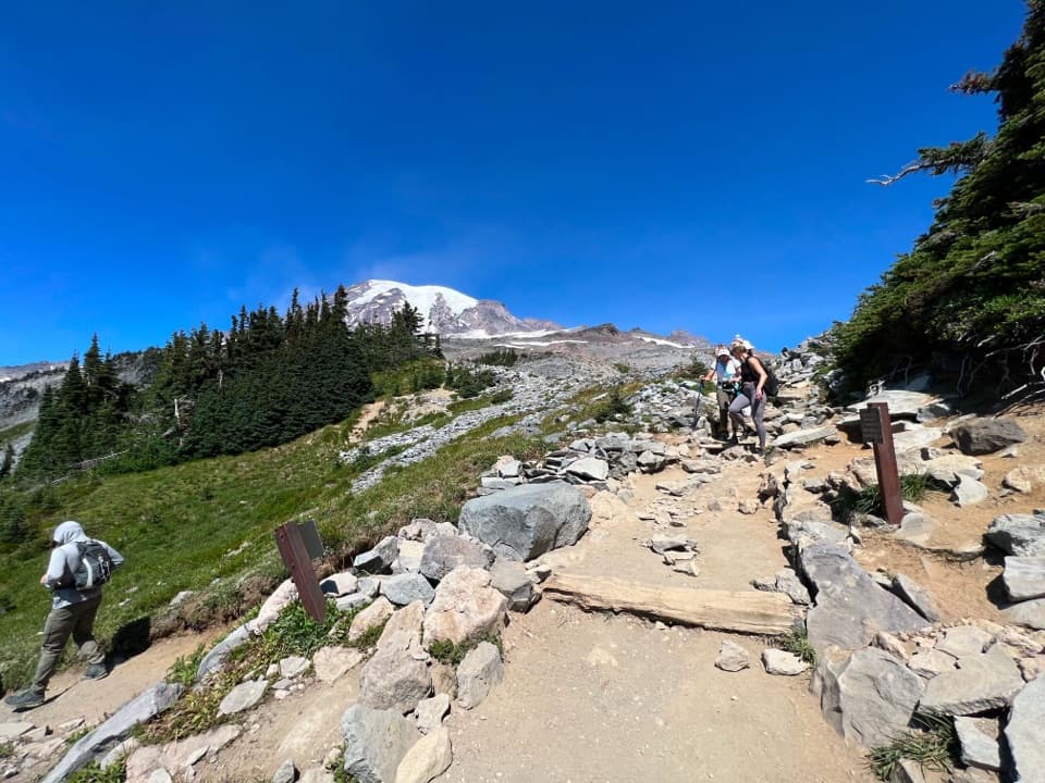
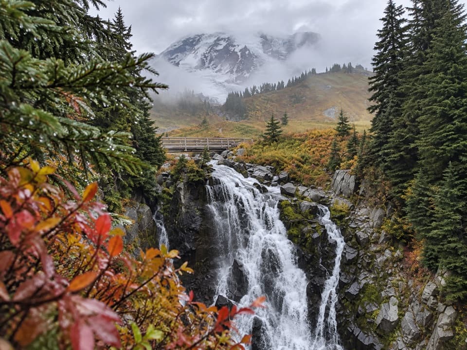
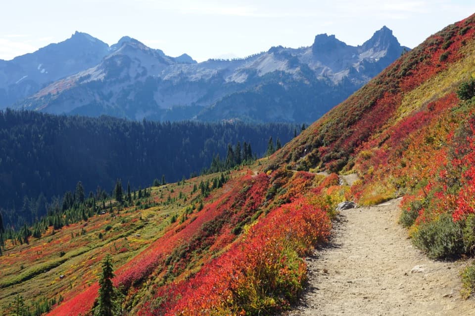
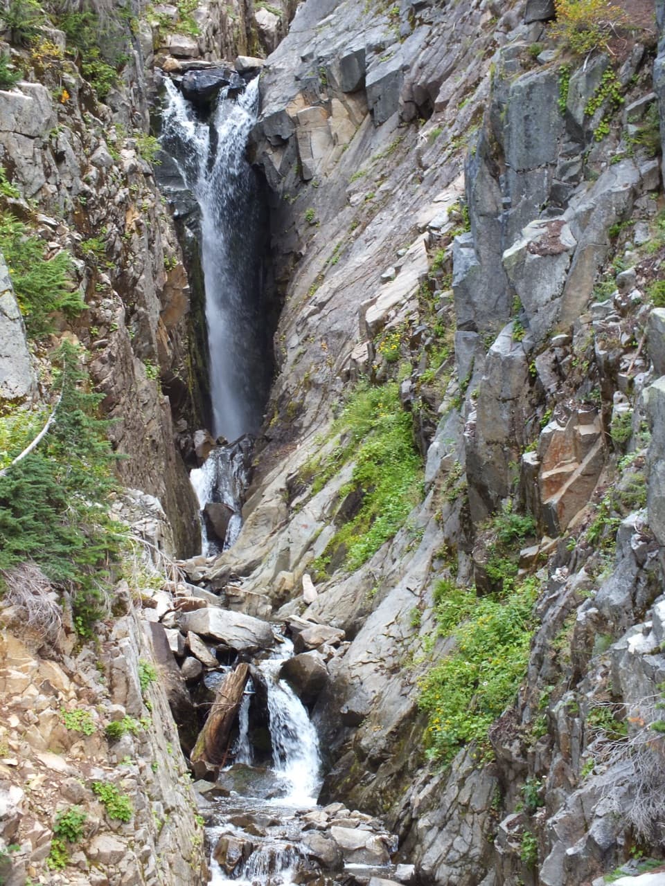
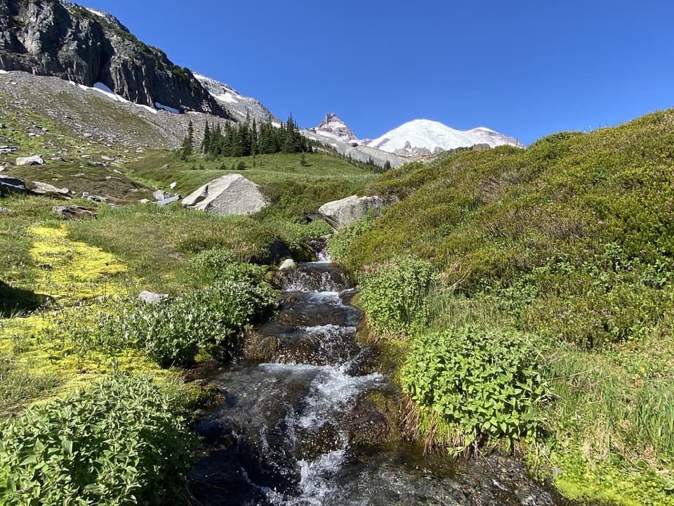
Right out of the gate, you’re in subalpine meadows with big, unobstructed looks at Mount Rainier and, in places, the Tatoosh Range. You’ll cross a photogenic bridge over Edith Creek before reaching Myrtle Falls, a substantial multi-tier cascade dropping into a glacially carved gorge. The classic photo is from the lower viewpoint where the falls line up with Rainier beyond.
The approach is paved or well-graded gravel—friendly for most visitors. The catch: the stairway down to the best viewpoint is steep and not wheelchair accessible. Figure about 30–35 minutes of walking, not counting your photo time. It’s popular—for good reason—so expect company, especially when the mountain’s out.
July through September is the sweet spot: meadows pop with wildflowers, the path is typically snow-free, and you’ll get those big mountain views on clear days. To dodge the busiest crowds and get softer light, start early or swing by late afternoon. In winter and spring, deep snow and ice can make access difficult or treacherous—especially on the stairs.
Absolutely. It’s the fastest way to snag one of the park’s signature views with minimal effort. Short, scenic, and photogenic—just be ready for the stairs and the crowds.
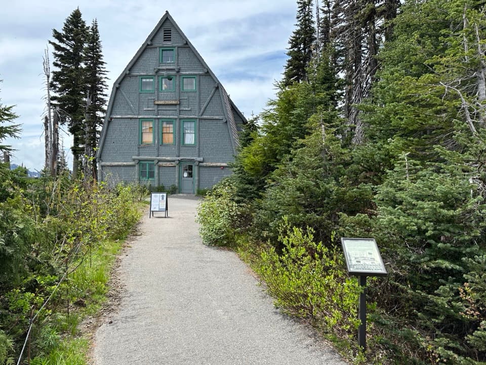
Park at Paradise’s upper lot near the Jackson Visitor Center/Paradise Inn and follow the paved Skyline Trail signed for Myrtle Falls.
The stairway to the lower viewpoint is steep and can be treacherous in spring snow or ice. Stay on designated paths to protect fragile meadows.