
Place · 0.4 mi away
Moderate
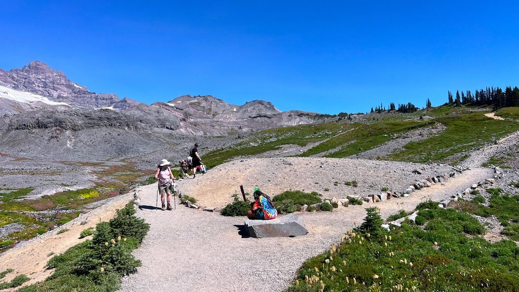
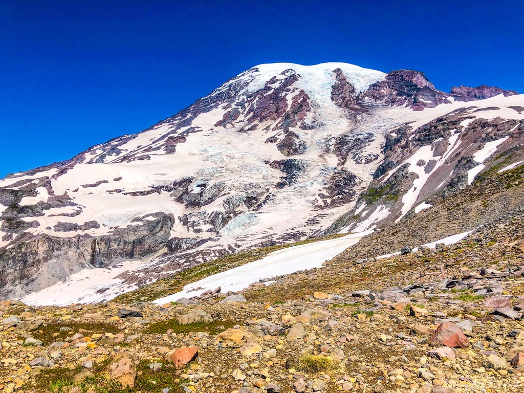
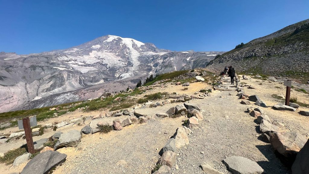
If you’re craving a break from the Paradise crowds without committing to a full-day sufferfest, this out-and-back delivers. The Paradise Glacier Trail climbs from the busy Paradise complex into stark, glacial terrain with big, close-up views of Mount Rainier and, on clear days, distant volcanoes like Mount Adams, Mount Hood, and Mount St. Helens. Expect a noticeable shift from wildflower meadows to barren moraine and glacial till as you ascend.
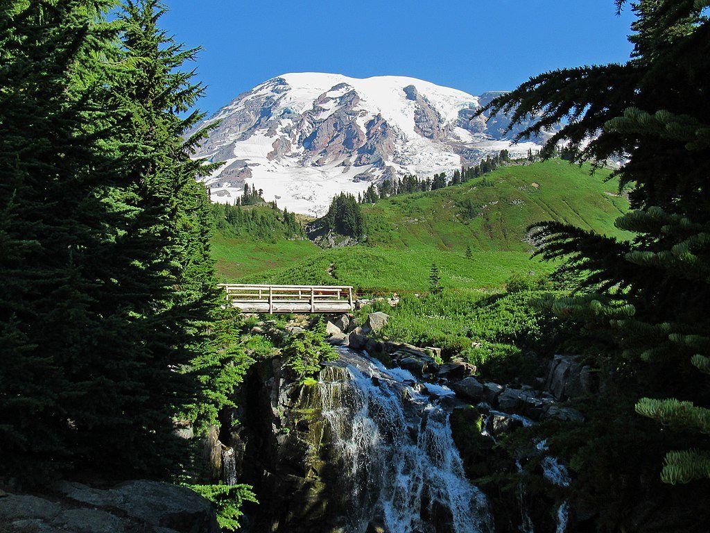
You’ll start in the Paradise area on the Skyline Trail, pass Myrtle Falls, and continue roughly 1.8 miles before branching onto the signed spur toward Paradise Glacier. Total distance is about 5.6 miles round trip including the Skyline approach, and it’s an out-and-back. The maintained trail ends near the former ice caves site; confident hikers sometimes continue a short way over boulders to a small waterfall, but footing is rough and wet.
Early on, soak up meadows and open slopes with constant views of Rainier’s southern face. Higher up, the landscape turns raw and geologic: rock fields, snow-fed streams, possible lingering snow patches, and small tarns. You’re walking through textbook glacial country—moraines and till everywhere—so it’s a great place to see the mountain’s ever-changing ice at work. History buffs will appreciate the vanished ice caves lore on this route, and you may pass a monument commemorating early Rainier pioneers. After you leave Skyline, the crowds drop off fast, making this feel surprisingly quiet for the Paradise area.
It’s a moderate hike with about 1,500 feet of climbing, and some sections feel tougher thanks to elevation, exposure, and uneven glacial debris. The spur can be easy to miss if you’re not paying attention. Snowfields often linger into early summer; streams can run high with meltwater. The upper terrain is exposed and windswept—bring layers even on warm days.
Late June through September is prime, when snow has receded enough to keep the route reasonable. Earlier in the season can be beautiful but comes with more snow navigation and wet feet. Midweek mornings are your best bet for a quieter experience. If you want nonstop meadows and a social scene, the more famous Skyline Trail to Panorama Point is the better fit; if you want solitude and geologic drama, stick with Paradise Glacier.
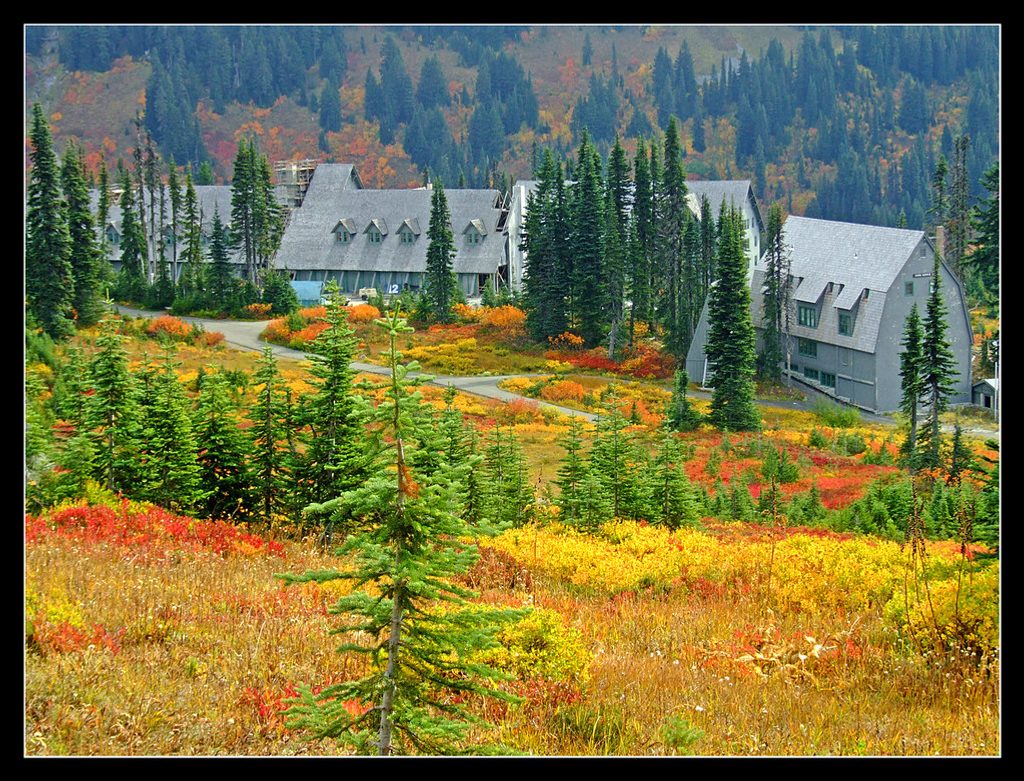
Park in the Paradise area lots by Paradise Inn; start on the Skyline Trail toward Myrtle Falls to reach the Paradise Glacier spur.
Expect lingering snow into summer, swift meltwater crossings, and highly exposed terrain. The maintained trail ends near the old ice-cave site—beyond that is rough boulder travel. Stay on signed paths to protect fragile alpine vegetation.
Place · 0.4 mi away
Place · 0.4 mi away
Place · 0.4 mi away
Place · 0.5 mi away
Challenging · 0.5 mi away
Challenging · 0.5 mi away
Challenging · 0.5 mi away
Easy · 0.5 mi away

Parkwolf Tour Guide
