
Place · 1.2 mi away
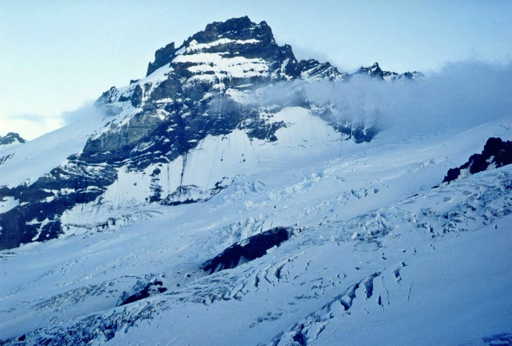
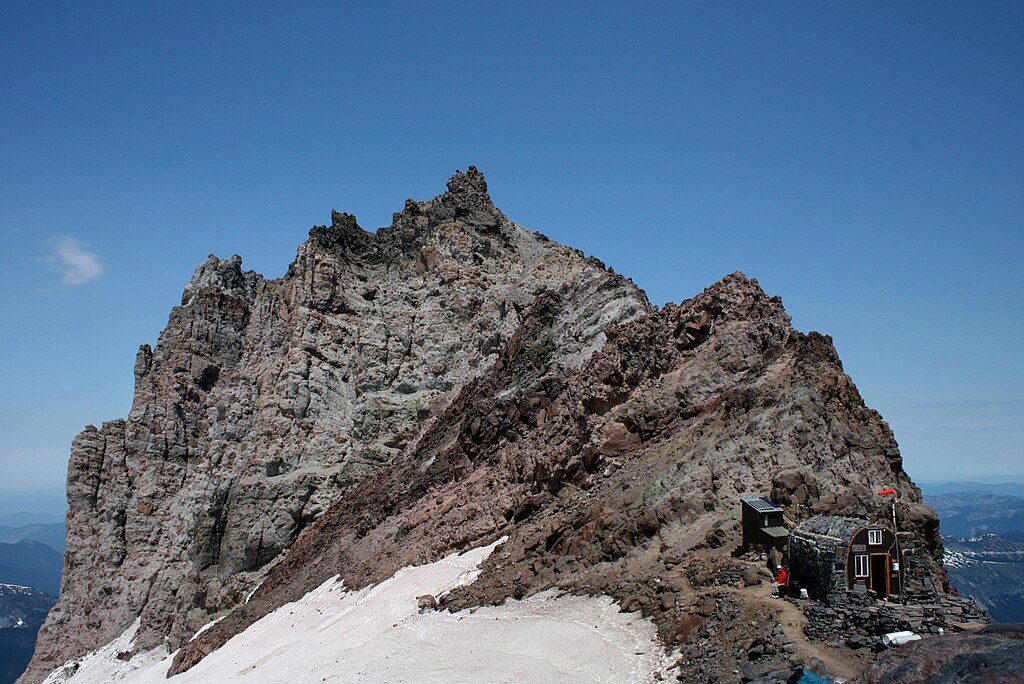
Little Tahoma is Rainier’s jagged sidekick: an 11,138‑foot volcanic remnant perched between massive glaciers on the mountain’s east side. It’s the third‑highest peak in Washington and very much a climber’s summit—no hiking trail, no roadside viewpoint, just raw alpine terrain and outrageous scenery.
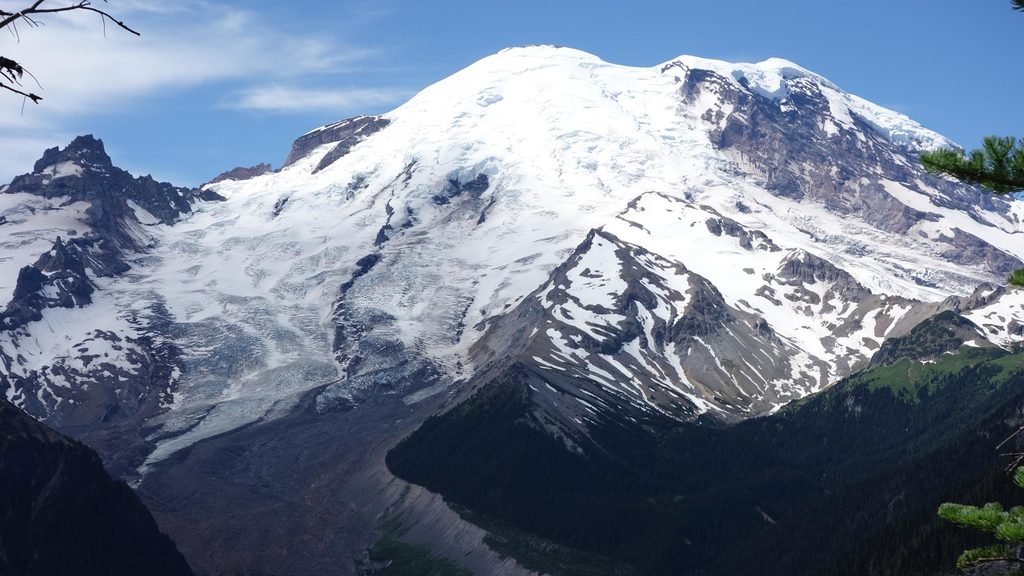
Expect a front‑row seat to Rainier’s icy architecture: the Emmons, Ingraham, Whitman, and Fryingpan Glaciers dominate the view. The final ridge is exposed, adding drama to an already cinematic perch over the Cascades.
This is a technical objective. Even the easiest line is a rock‑and‑ice climb with glacier travel and an exposed summit scramble. Popular approaches include the South Face (often via Meany Crest when Sunrise Road opens) and the East Shoulder/Fryingpan Glacier. Some parties approach from Paradise; strong, dialed teams have even done car‑to‑car pushes in a single day when spring conditions cooperate.
Late spring into early summer is the sweet spot for snow climbs; the South Face sees a winter–spring window (roughly January–June) depending on conditions. If Sunrise Road is open, the Meany Crest approach is a classic; otherwise Paradise is a common start. For firm snow and safer glacier bridges, start very early. For photos, early morning light rakes the east‑side glaciers beautifully, and you’ll beat both heat and slop.
A Mount Rainier climbing permit is required for glacier travel and/or any itinerary above 10,000 feet. Check current fees and procedures with the park before you go.
Crevasses, changing snow/ice, rockfall, and whiteouts are all on the menu, and the summit block is airy. Bring a full mountaineering kit—helmet, harness, rope, ice axe, crampons, and glacier protection—as appropriate for your route and team. Conditions change fast with sun and temperature; plan for rapid weather shifts.
You won’t see much wildlife on the peak itself, but on lower approaches (think Summerland/Meany Crest zones) you may encounter marmots, mountain goats, pikas, elk, and a handful of subalpine birds.
Place · 1.2 mi away
Place · 1.4 mi away
Place · 1.5 mi away
Place · 1.7 mi away
Moderate · 4.2 mi away
Challenging · 4.5 mi away
Challenging · 4.5 mi away
Easy · 4.5 mi away

Parkwolf Tour Guide
