
Place · 0.6 mi away
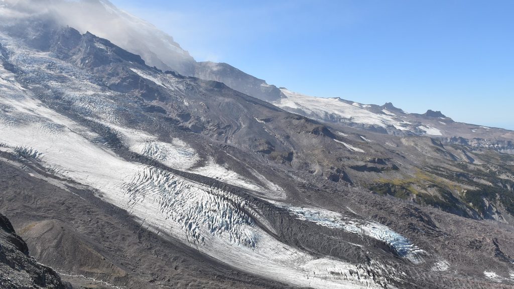
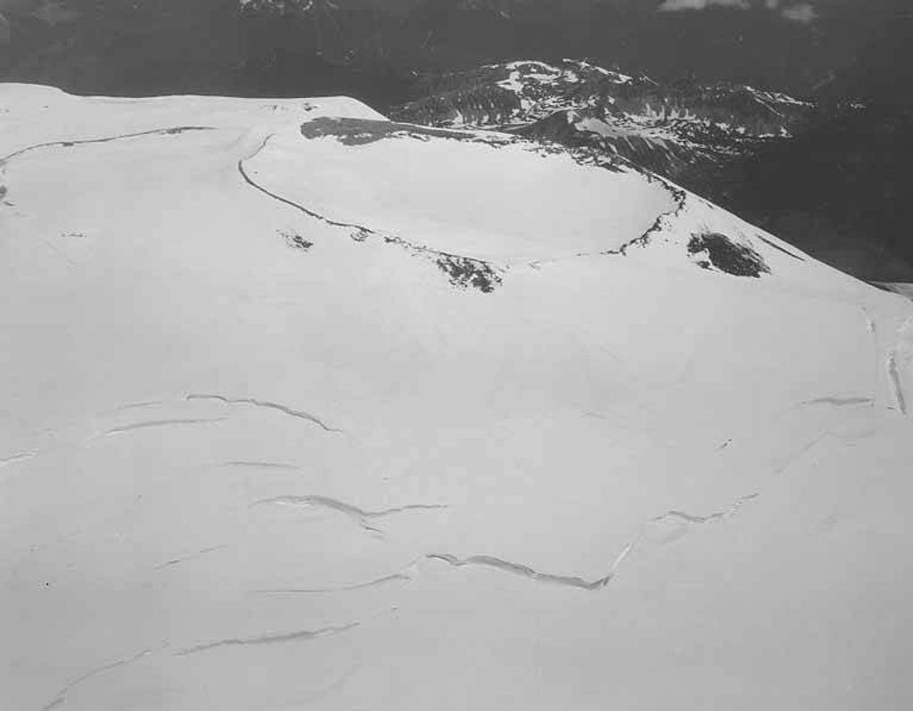
Winthrop Glacier sprawls across Mount Rainier’s northeast flank, sharing the upper mountain with the Emmons before the two split around the rocky prow. It’s one of the mountain’s biggest ice flows—an austere, high-alpine place that feels a world away from the park roads and visitor hubs.
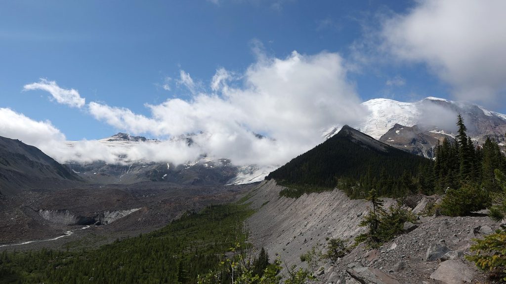
Expect classic glacier features: yawning crevasses, tilted seracs, and rubble-streaked ice. The lower glacier is heavily mantled in rock and fades into forest, giving it a stark, rugged look. Vistas of Rainier’s upper slopes are huge and ever-changing with weather and light.
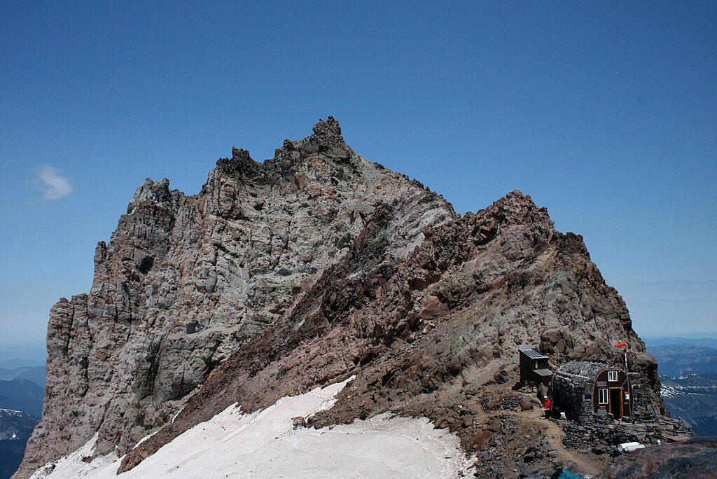
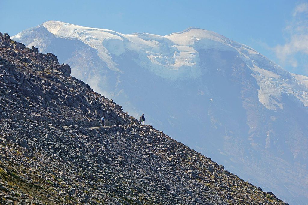
This is not a drive-up overlook. Winthrop is typically reached on foot as part of the Emmons–Winthrop mountaineering route. Most parties stage at Camp Schurman, perched on the ridge between the Emmons and Winthrop—close to the ice but safely off it—before heading higher. It’s a climbing landscape first and foremost; casual visitors should plan on only distant views from the Sunrise/White River side rather than walking onto the glacier.
Everything here is big and consequential. Crevasses, icefall, and complex navigation are the baseline. Whiteouts are common, and route-finding can turn serious fast. The glacier is also among a small set on Rainier with documented debris flows in its history—another reminder that this terrain is dynamic. If you’re traveling on the ice, bring full glacier kit and the skills to use it; if you’re not, give the margins a wide berth.
Camp Schurman is the standard high camp for this side of the mountain. It’s spartan: primitive toilet, no water source beyond snow to melt, and a ranger hut that isn’t a public shelter. Think rocky tent platforms and big views—not amenities.
You’re in extreme alpine country. Around the subalpine margins you might spot mountain goats, marmots, or high-country birds, but don’t count on wildlife being the headline here—the ice is.
For climbing access, the practical window is late May through August, when seasonal roads open and before late-summer crevasse mazes shut things down. For photographers and hikers looking for distant views, aim for clear early mornings on summer weekdays to dodge camp traffic and catch the best light. Outside the main season, conditions get colder, icier, and more complex fast.
Place · 0.6 mi away
Place · 0.9 mi away
Place · 1.3 mi away
Place · 1.8 mi away
Easy · 4.9 mi away
Moderate · 5.1 mi away
Challenging · 5.4 mi away
Moderate · 5.4 mi away

Parkwolf Tour Guide
