
Place
Moderate
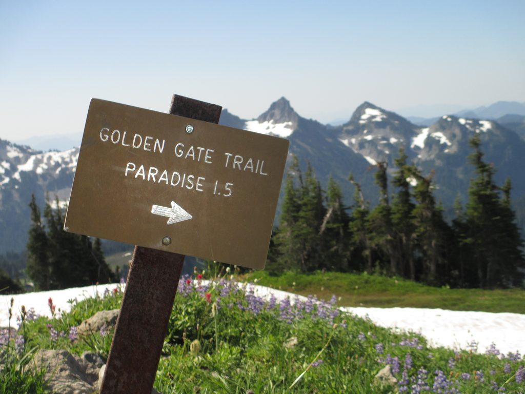
Golden Gate is the steep, view-packed connector in Paradise that many hikers use to sample the Skyline experience without committing to the full circuit. Hike it as a 3.8–4.0 mile total loop with sections of the Skyline Trail, or make a shorter out-and-back to the “Golden Gate” notch (about 2.0 miles total). Expect 780–1,160 feet of gain depending on your route, topping out around 6,400 feet.
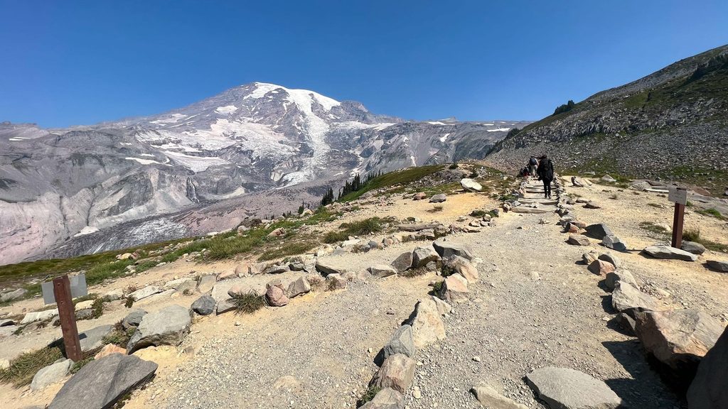
Start from the Paradise parking area near Paradise Inn. The path begins paved, then turns into a well-built dirt/gravel tread with stone steps as it climbs through meadows. Early on you’ll cross Edith Creek and can detour to classic Myrtle Falls before tackling switchbacks up the open slopes. The namesake “Golden Gate” is the Skyline junction perched above the Edith Creek valley. For the popular loop, continue on Skyline for sweeping vistas, then descend toward a rock-hop crossing of the Paradise River and pass the junction with the (now dead-end) Paradise Glacier Trail. About 40 yards farther sits a stone monument commemorating the first ascent of Mount Rainier in 1870, a great history touchpoint before you close the loop back to Paradise.
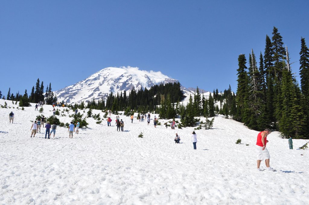
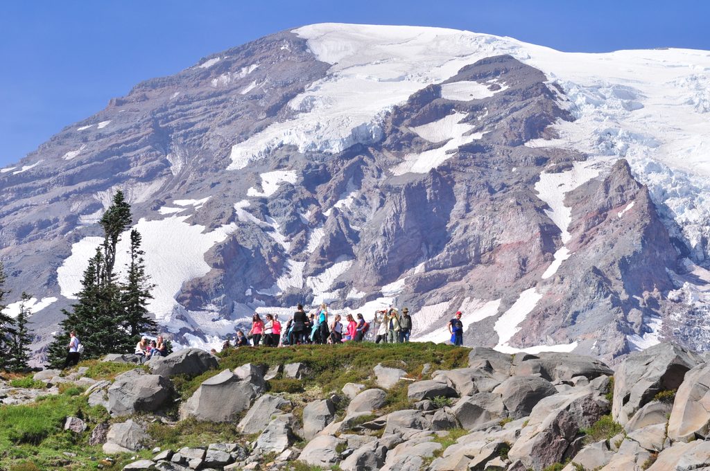
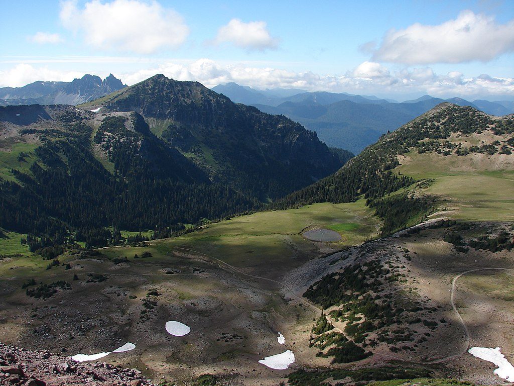
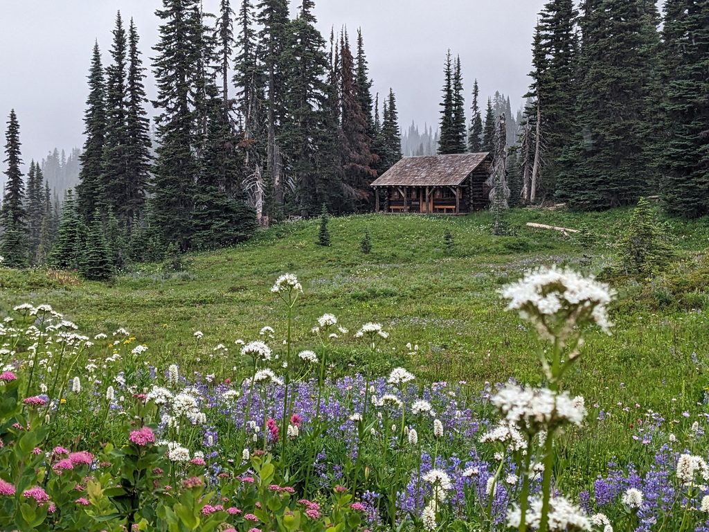
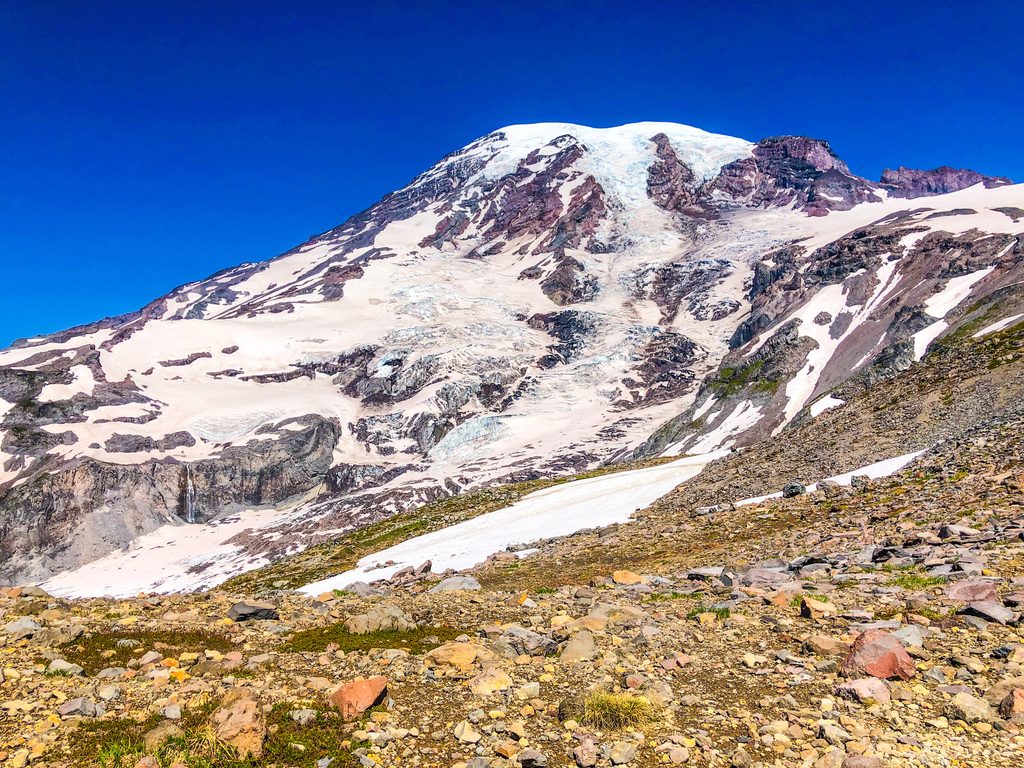
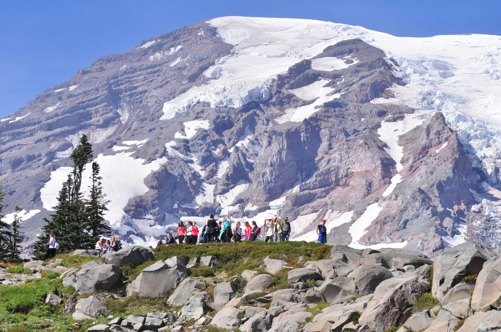
This is Paradise at its best: summer meadows bursting with lupine and other blooms, constant views of Rainier, and the serrated Tatoosh Range framing the south. On clear days, distant volcanoes can appear on the horizon. Keep an eye out for marmots in the meadows; mountain goats are occasionally spotted on nearby slopes. You may also see climbers practicing skills on lingering snowfields.
Golden Gate is short but punchy. The grade is steady with many steps, and the surface can be rocky in spots. Most hikers will find it moderately challenging; fit hikers will cruise but still feel the climb. Crowds are common in peak season—especially around Myrtle Falls and major junctions—so start early if you want quieter moments.
Late June through early October is prime, with wildflowers typically peaking mid to late summer. Snow can linger well into July—and some years into August—affecting footing, route-finding at junctions, and the stream crossing on the loop. Fall brings vivid meadow colors and clearer skies. Mornings offer easier parking, softer light for photos, and firmer snow if any remains.
This is a heavily interconnected trail network; signage can be confusing. Bring a good map and confirm each junction. The loop’s Paradise River crossing is a rock-hop that varies with melt and recent weather. Weather changes fast at this elevation—carry layers and rain protection. No pets are allowed on park trails. Standard park entrance fees/passes are required.
Park at the Paradise area near Paradise Inn; trail access begins from the main Paradise parking lot off Highway 706 via the Nisqually Entrance.
Snow can linger into July or even August, obscuring junctions and making the Paradise River rock-hop slick; signage in the Paradise network can be confusing—carry a map and verify each junction.
Place
Place
Place
Place
Challenging
Challenging
Challenging
Challenging

Parkwolf Tour Guide
