Panorama Point in Mount Rainier National Park

#3 of 61 sights in Mount Rainier

Sight · Mount Rainier National Park

Panorama Point

Two miles uphill opens onto Rainier, the Tatoosh Range and volcanoes.

Photo: Public Domain Mark
Type
Sight
Nearest trail
1.1 mi
Audio stories
5 nearby
  • Scenic viewpoint
  • Restrooms

Hear the audio tour

Paradise: Meadows, Myrtle Falls and the Inn

Overview

About Panorama Point

Why stop

  • Clear days reveal the Tatoosh Range and several distant volcanoes.

Heads up

  • Getting here takes a sustained two-mile uphill hike.

Map

Where it is

Loading the Mount Rainier map
Full map
SightPanorama Point46.80220, -121.72883
Keep this map with you offline in the Parkwolf app

Plan your stop

Before you go

7 active Mount Rainier alerts

  • ClosureWildfire closures in the northern parkGrand Park 2 and Wonderland Complex fire closures affect trails, backcountry camps, and Sunrise access; stay out of closed areas.Official details
  • ClosureSR 165 bridge closed: no public access to Carbon River or Mowich LakeThe SR 165 Carbon River/Fairfax Bridge is closed to vehicles, bicycles, and pedestrians; there is no public access or alternate route to Carbon River or Mowich Lake.Official details

See all 7 alerts
A park ranger sits on a dash-mounted phone, talking, as Parkwolf’s Tour Guide plays “Army Cutworm Moths: A Grizzly Bear Buffet” on Grand Loop Road below Dunraven Pass in Yellowstone
Parkwolf Tour GuideThe highest, rockiest slopes around here are a summer buffet for grizzly bears.

Mount Rainier Tour Guide

Your drive to Panorama Point, narrated.

Parkwolf is a GPS audio tour guide for Mount Rainier National Park. As you drive, it chimes in with what’s ahead: hidden gems, upcoming stops, history, geology, and wildlife, right through your car’s speakers.

See the Mount Rainier audio tour

Recorded for this place

Paradise: Meadows, Myrtle Falls and the Inn
0:00 / 0:40
“You're coming up on Paradise, where meadow walks start beside the visitor center and historic inn.”

Plays as you drive up to Panorama Point in the Parkwolf Mount Rainier Tour Guide.

More stories near here in the app

  • Edith Gorge Falls: A Quick Bridge View
  • Nisqually Vista: A Short Glacier Walk
  • Paradise Picnic Area: A Lunch Stop Among the Trees
  • Ruby Falls: Beneath the Bridge
  • 77 audio storiesacross Mount Rainier’s roads, triggered by GPS as you drive
  • Wildlife heatmapsfor Mountain Goat, Black Bear, Wolverine, and 13 more
  • Works offlinemaps, 99 trails, 87 places, and audio download before you lose signal
  • CarPlay readysimple controls built for the drive
★★★★★
“Fantastic app with many points of information… It’s great to just turn on while you’re driving and it gives you an audio tour of the national Park. We love it!!!!”
JMJamesApp Store review
Download Parkwolf on the App StoreGet Parkwolf on Google Play

4.7 from 8,600+ ratings

Guide

More about Panorama Point

A high lookout with a real climbPanorama Point is an exposed alpine viewpoint above Paradise, reached on foot on the Skyline…

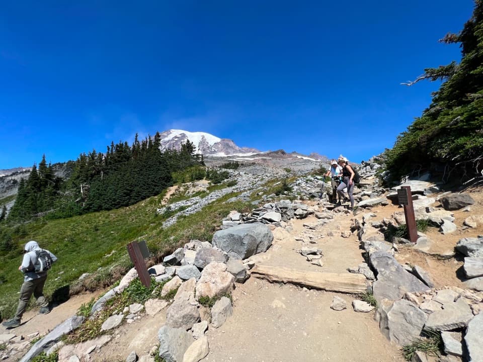
Panorama Point is an exposed alpine viewpoint above Paradise, reached on foot on the Skyline Trail. The clockwise approach climbs about two miles uphill to the point; this is a substantial mountain walk, not a roadside stop. The full Skyline loop is 5.5 miles round trip with 1,700 feet of gain, and the park estimates about 4.5 hours. If you continue around the loop, the park recommends the High Skyline route past the point because it avoids a hazardous icy slope.

Look south, then back toward RainierThe open view takes in the Tatoosh Range, with Mount Adams and Mount St.

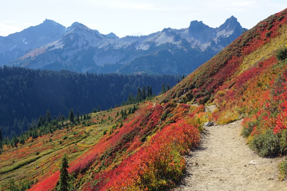
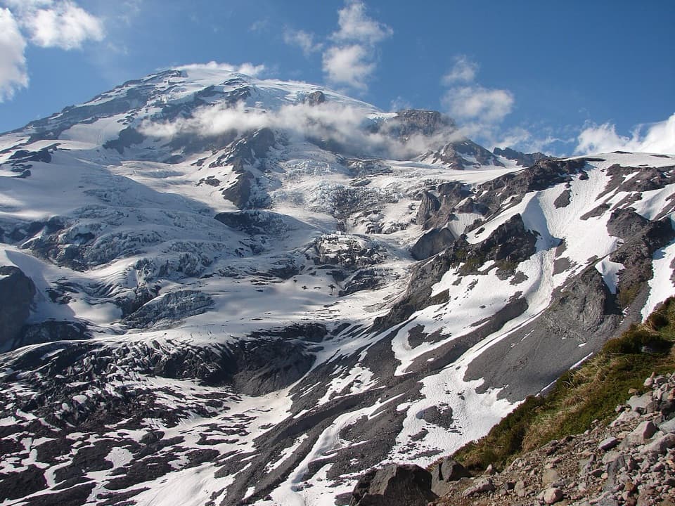
The open view takes in the Tatoosh Range, with Mount Adams and Mount St. Helens beyond it on clear days; Mount Hood may appear in especially clear air. The broader Skyline route also brings you close to Mount Rainier and Nisqually Glacier. From the rocky lookout, a wide frame can layer the nearer Tatoosh peaks against the distant volcanoes. The view depends on visibility, so a clouded-in day changes the payoff.

Give the route enough timeThe standard loop rises through Paradise's open meadows, reaches Panorama Point about two miles…

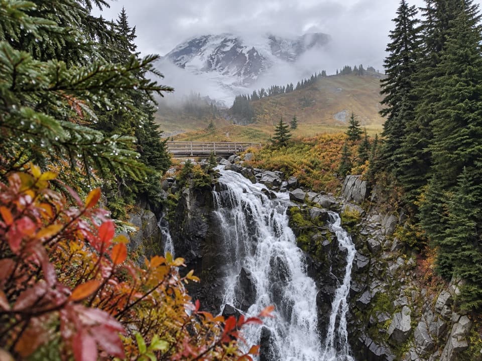
The standard loop rises through Paradise's open meadows, reaches Panorama Point about two miles uphill, then continues along the high route before descending toward Paradise Valley, Myrtle Falls and the trailhead. The park's estimate is 4.5 hours for the loop. Paradise is busiest in July through September; the park suggests going earlier or later in the day, or on a weekday, to reduce congestion. There is no point-specific crowd count.

Toilet and trailhead basicsA seasonal pit toilet sits near the viewpoint and is reported open in summer.

A seasonal pit toilet sits near the viewpoint and is reported open in summer. At Paradise, the trailhead has flush restrooms, accessible facilities, potable water, parking and picnic tables, so start there prepared; no water or food service at the point was found. Pets are not allowed on Paradise trails, and staying on the path protects the fragile subalpine vegetation.

Snow changes the outingParadise can be visited year-round, but snow often lingers into June or July and winter routes…

Paradise can be visited year-round, but snow often lingers into June or July and winter routes may be unmarked. The road from Longmire typically closes overnight from November into mid-April, depending on weather. Early-season hiking can be hazardous; check current trail and road conditions before choosing the route. The Paradise meadows usually reach peak bloom in late July or early August, while fall color can start in September.

A landscape shaped by ice and fireThe mountain in this view is a young volcano in geologic terms: modern Mount Rainier formed…

The mountain in this view is a young volcano in geologic terms: modern Mount Rainier formed through eruptions over roughly the last 500,000 years. Glaciers carved the surrounding valleys and shaped the slopes. From this high perch, the broad basins and ridges are part of that volcanic and glacial story.

Wildlife

Wildlife in Mount Rainier

All Mount Rainier wildlife maps

Sighting maps show where each species has been reported across Mount Rainier. Wildlife moves, so no sighting is guaranteed.

Keep exploring

Near Panorama Point

See it all on the map

Trails nearby

More stops nearby

Parkwolf’s Mount Rainier ranking

Top sights in Mount Rainier

All 87 places
  1. 1Reflection LakesSight
  2. 2Myrtle FallsSight
  3. 4Narada FallsSight
  4. 5Tipsoo LakeSight
  5. 6Sunrise Point OverlookSight
  6. 7Silver FallsSight

Take Parkwolf to Mount Rainier.

The audio tour guide for the drive, plus offline maps, trails, and wildlife heatmaps for when the signal drops.

4.7 from 8,600+ ratings

Download Parkwolf on the App StoreGet Parkwolf on Google Play