
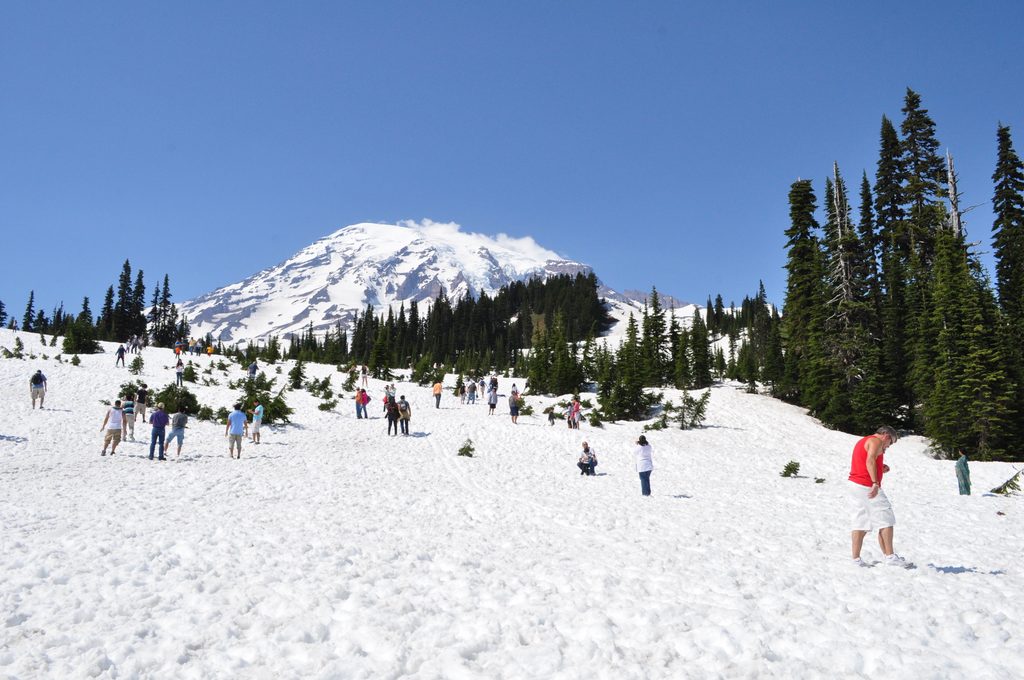
Place
Moderate
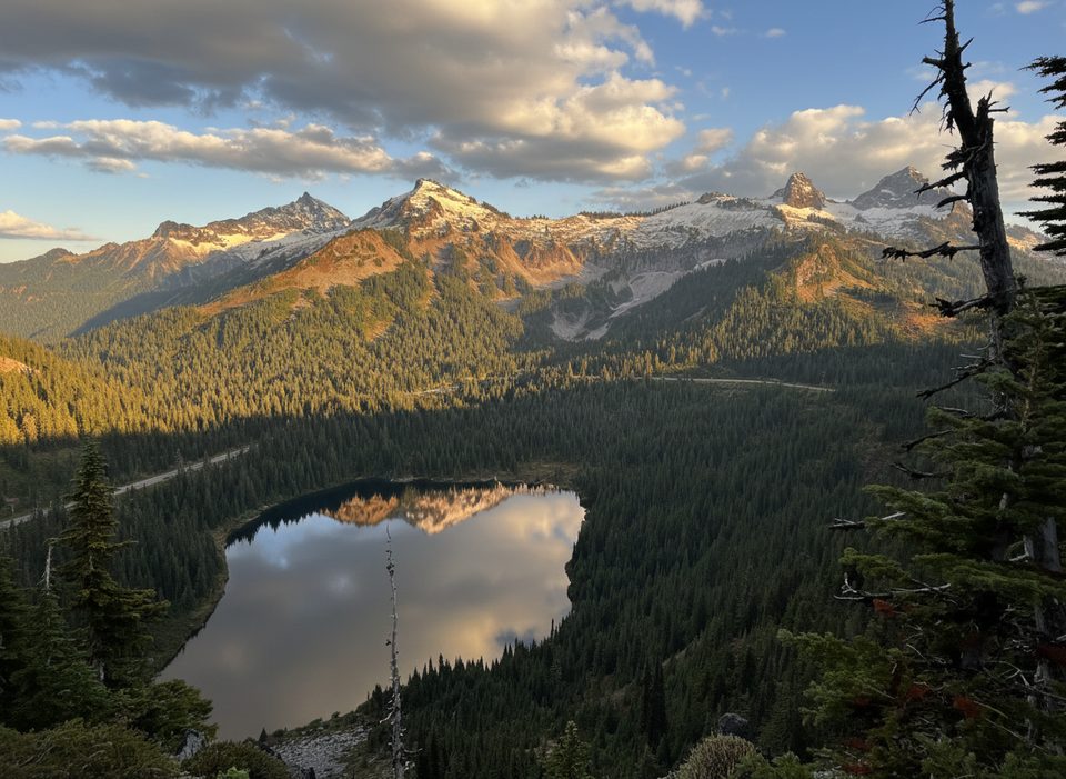
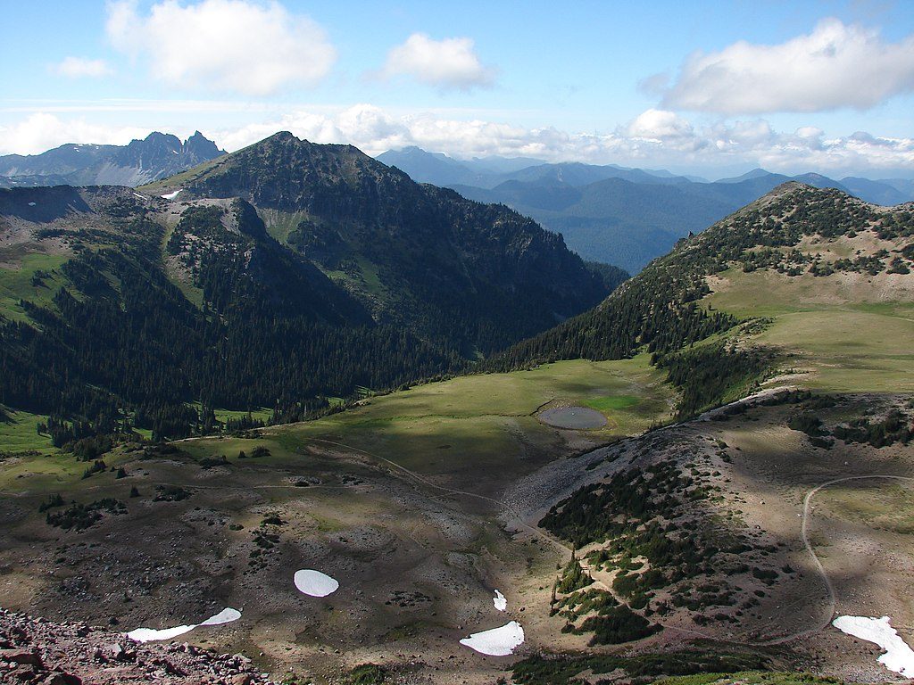
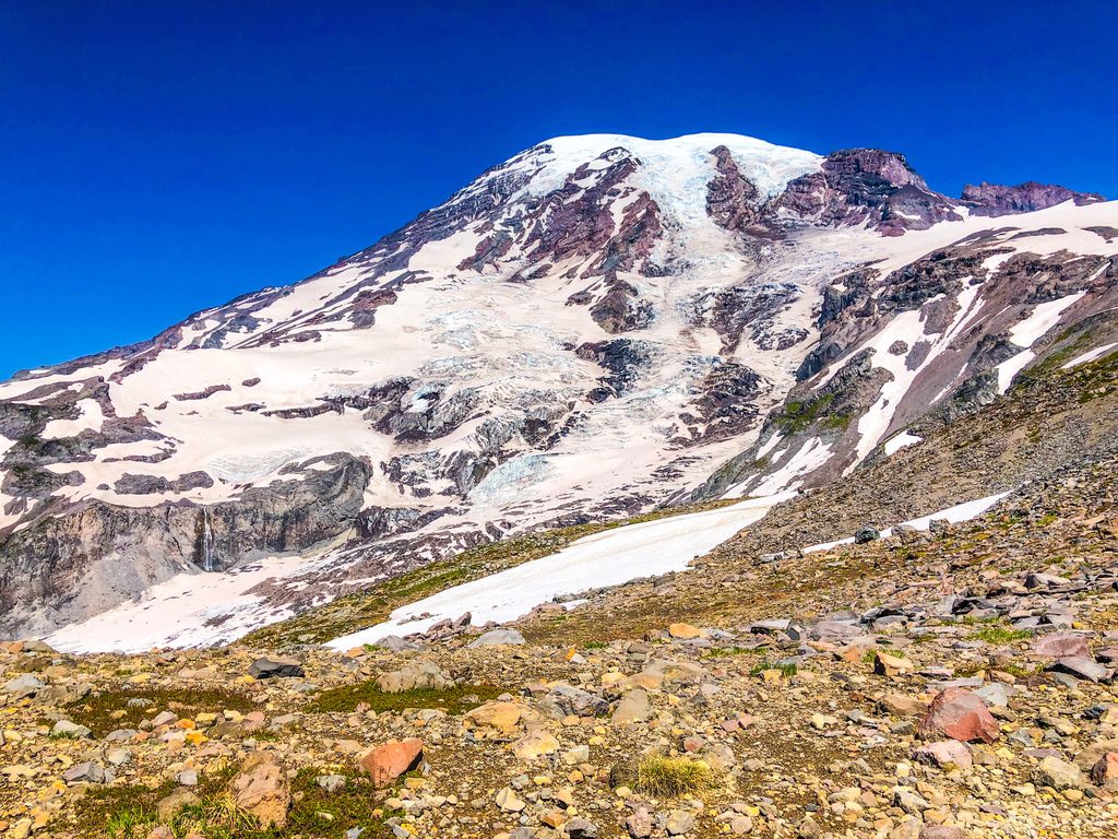
This is a scenic, moderately challenging loop linking Reflection Lakes with big panoramas from Faraway Rock and a sampler of classic subalpine meadows. Depending on exactly where you start and which connectors you take, the loop runs about 3.2 miles total. Expect a mix of shady forest, open slopes with wildflowers in summer, and frequent lake views.
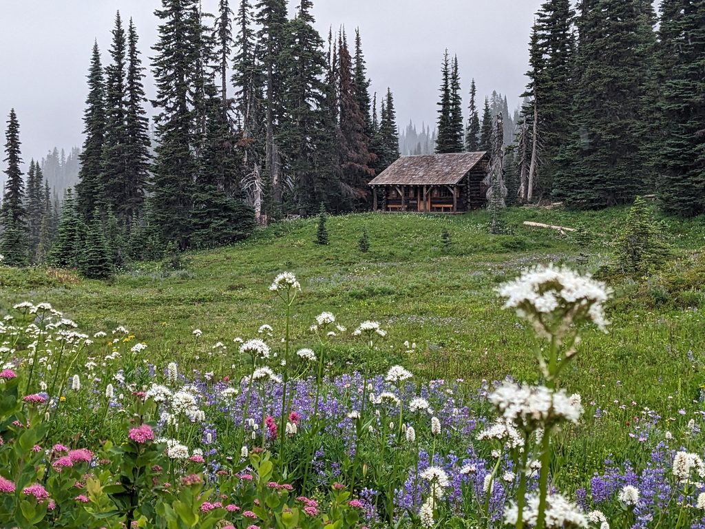
Reflection Lakes is the star, but the loop also passes smaller tarns and seasonal streams (one crossing around 0.6 mile often dries up by late summer). Faraway Rock is the high, rocky bluff that delivers wide-open views of the Tatoosh Range with lakes scattered below—an obvious pause spot for photos and a snack. In mid-summer, the slopes are dotted with avalanche lilies and swaths of paintbrush, and you’ll pass plenty of blueberry and huckleberry bushes near the Faraway Rock area.
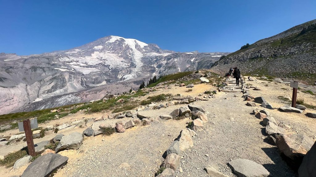
Most hikers will call this moderate: steady climbing to Faraway Rock, then a descent back toward Reflection Lakes. Some sections are steep and rutted/eroded—especially noticeable if you take them downhill. Many hikers prefer going counterclockwise for a gentler climb and a more controlled descent. Signage exists but can feel a bit confusing where similarly named “Lakes” and “High Lakes” segments meet—double-check junction posts.
This is a very popular area, particularly in summer. If you want parking and quieter moments at the lakes, start early. June through October is the sweet spot; snow can linger into early summer and return quickly in fall. For photography, early morning typically brings calmer water at Reflection Lakes and fewer people.
Pets are not allowed on this trail. This is a day-use loop with no camping along the route. Surfaces are natural dirt with rocky spots and occasional seasonal water. Not wheelchair accessible. Always bring layers—parts of the route are exposed to sun and sudden weather shifts are normal in the subalpine.
Yes—if you want a compact loop with classic Rainier scenery, lake reflections, and a real viewpoint payoff without committing an entire day. If you’re allergic to crowds or want a smoother tread, the popularity and a few eroded stretches might annoy you. Hike it counterclockwise, start early, and you’ll understand why this short loop gets so much love.
Park at the Reflection Lakes lot on Stevens Canyon Road; it fills early in summer—arrive early for a spot.
Steep, eroded sections (worse if hiked clockwise); a seasonal stream crossing around 0.6 mile; lingering snow early season and heavy summer crowds.
Place
Place
Place
Place
Challenging
Challenging
Challenging
Challenging

Parkwolf Tour Guide
