
Place
Challenging
If you want a strenuous, less-peopled climb that delivers wildflower meadows, old-growth forest, and big, in-your-face Mount Rainier views, this is your move. The Kautz Creek Trail runs from the Kautz Creek parking area on the southwest side of the park up to Indian Henry’s Hunting Ground, meeting the Wonderland Trail in a broad basin of meadows and tarns. It’s an out-and-back of about 11.6 miles total with roughly 3,200 feet of elevation gain, and most of that work comes after you cross the creek.
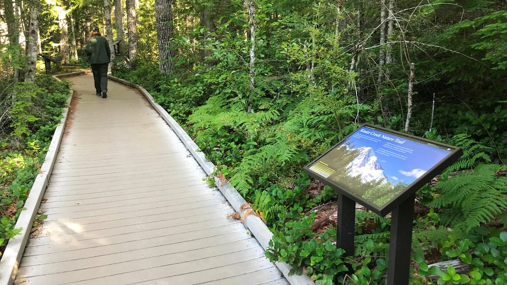
The day starts deceptively mellow. From the trailhead, you’ll pass through forest that rebounded after mid-20th-century mudflows, with interpretive signs explaining how lahars and flood events reshape this valley. About 1.1 miles in, cross Kautz Creek on a log bridge and brace for the real climb. The grade steepens through cool, primeval forest—massive old-growth and a soft, rooted tread—before switchbacks lift you toward ridge meadows.
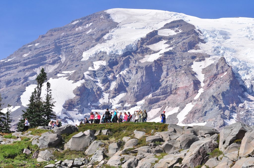
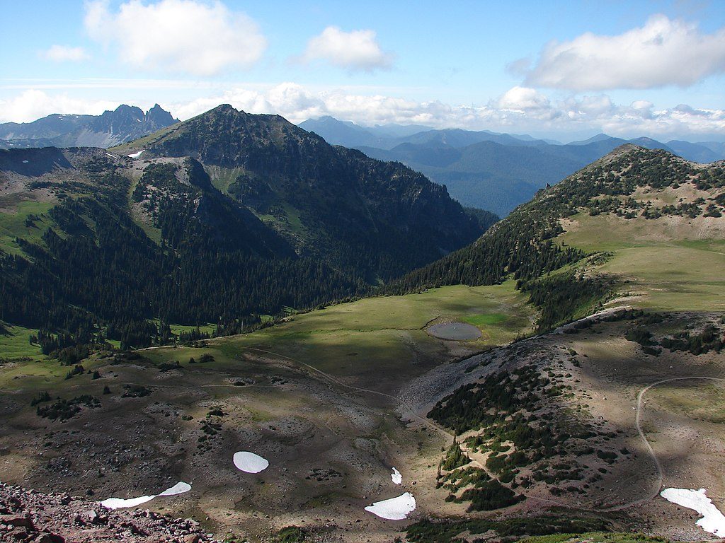
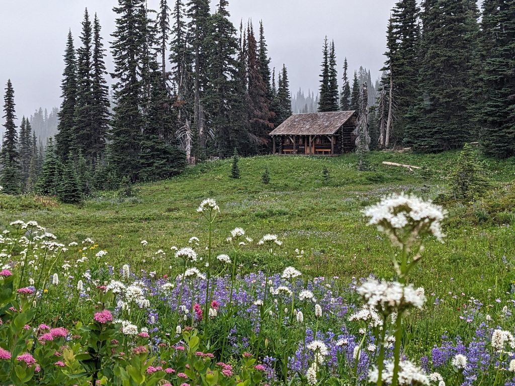
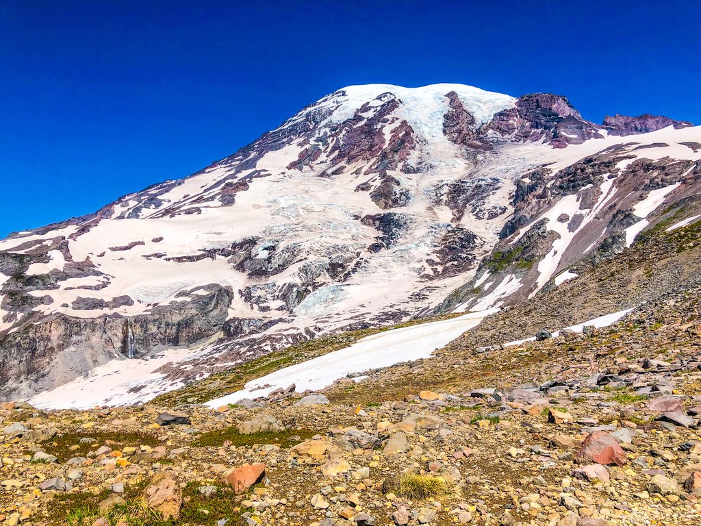
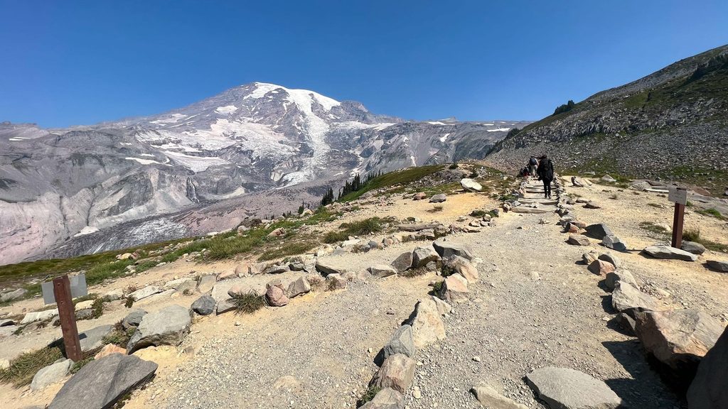
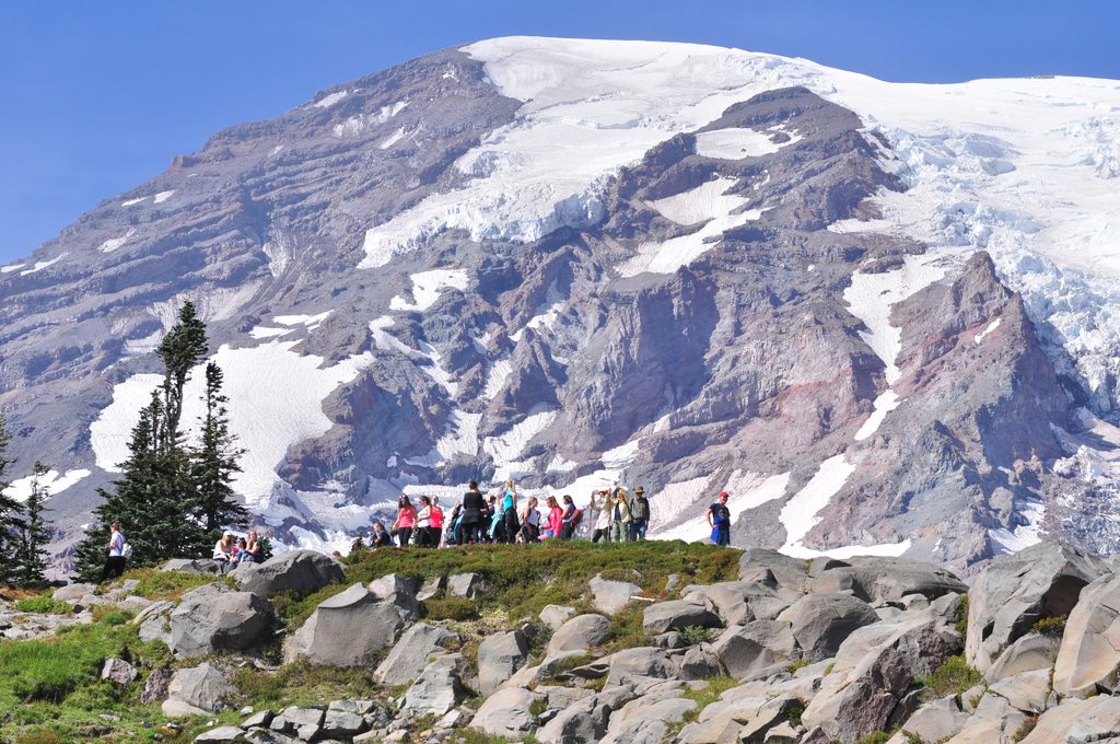
Breaks in the trees reveal a rolling highlight reel: Mount Rainier looming close, Tumtum Peak and Mount Ararat nearby, and on clear days distant peeks of Mount Adams and Mount St. Helens. Push on and you’ll spill into Indian Henry’s Hunting Ground—tranquil meadows, reflective ponds, and a historic ranger cabin setting that feels like you stepped into a postcard. This is where you’ll tag the Wonderland Trail before turning around.
This route is a front-row seat to Rainier’s power. Kautz Creek drains the Kautz Glacier, and the lower valley bears the scars of past debris flows and outburst floods. Forest along the corridor shows every stage of recovery, from young stands to towering giants—a living timeline of disturbance and resilience.
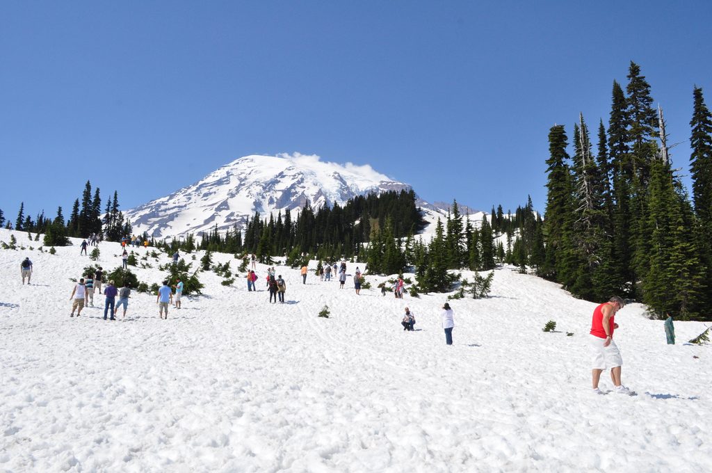
Aim for July through October for a mostly snow-free trip and peak wildflowers (think mid-July into August). Earlier in the season, snow can linger up high and make the final approach slower and trickier. Winter turns this into a stout snowshoe with a common nearer turnaround; continuing all the way to Indian Henry’s is a serious undertaking that requires fitness, time, and navigation chops. Weekdays and early starts mean more solitude and better light across the meadows.
This trail is a grind—much of the 3,200 feet of gain stacks up after the creek crossing. Trekking poles help on the steep, rooty sections and in wet or icy conditions. Cell service is unreliable; carry the 10 essentials and set a turnaround time. Read the interpretive signs at the start—they aren’t fluff. In this valley, debris flows and glacial outburst floods can occur without warning; if you hear prolonged rumbling or feel an earthquake, move quickly to higher ground. If you just want a safe, short taste (and some geology 101), the 0.1-mile Kautz Creek Nature Trail boardwalk loop at the trailhead is a worthy mini-stroll.
Absolutely—for hikers who enjoy a quiet, hard-earned summit-feel without the summit crowds. If you’re after a casual stroll, stick to the nature loop; if you’re game for a full-day push with real payoff, Indian Henry’s via Kautz Creek is underrated gold.
Park at the Kautz Creek parking area about three miles east of the Nisqually Entrance.
Debris flows and glacial outburst floods can occur without warning—if you hear prolonged rumbling or feel an earthquake, move uphill immediately. Steep, rooty grades and a creek crossing can be hazardous when wet or icy; snow often lingers into early summer. Cell service is unreliable.
Place
Place
Place
Place
Challenging
Challenging
Challenging
Challenging

Parkwolf Tour Guide
