
Place
Challenging
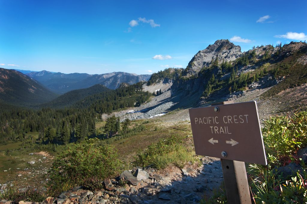
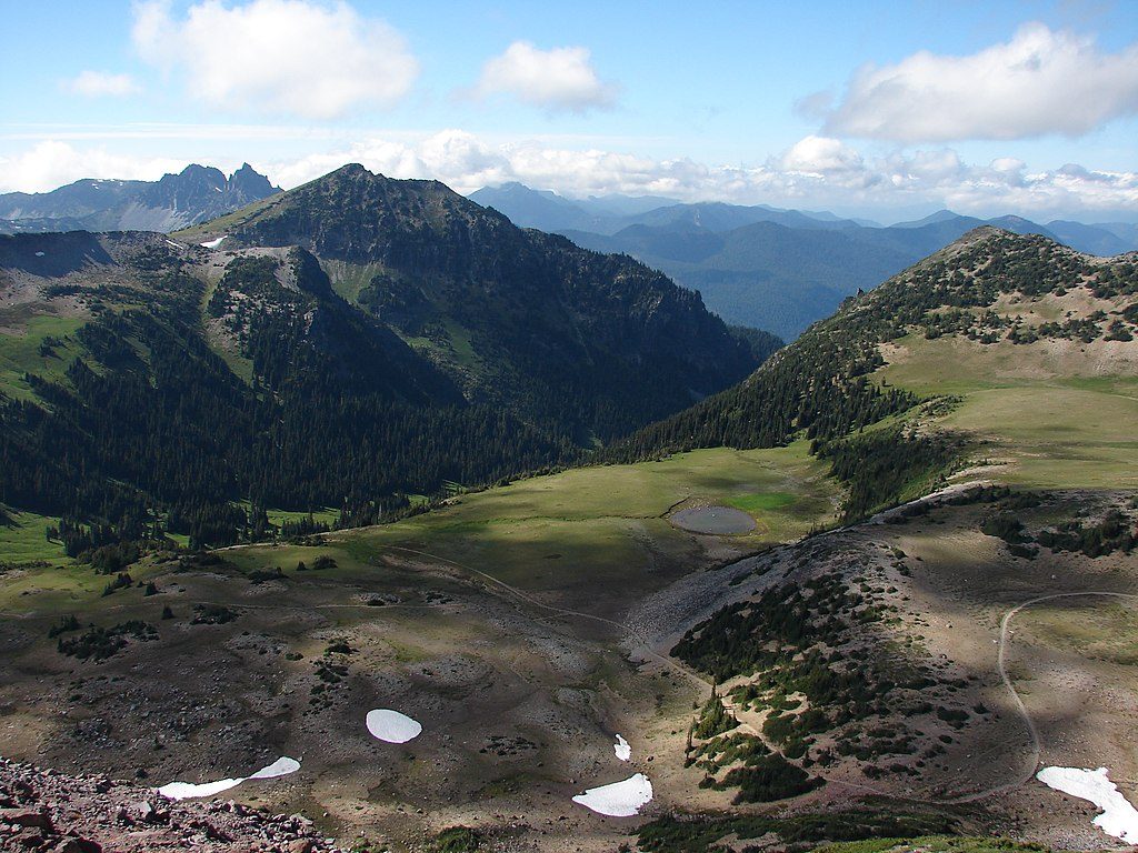
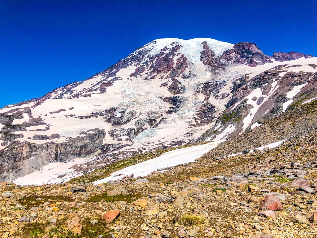
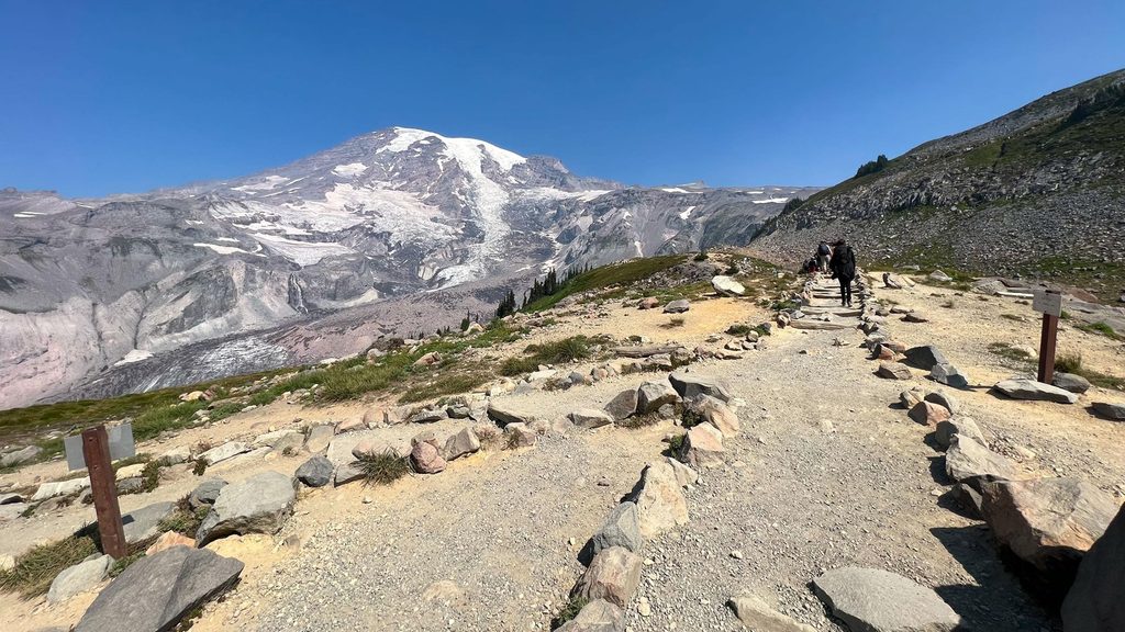
This is the Pacific Crest National Scenic Trail #2000 as it grazes the east edge of Mount Rainier’s high country at Chinook Pass and then continues just outside the park toward White Pass. Expect classic PCT ridge-and-basin rhythm with long views of Mount Rainier, subalpine meadows, and a steady sense of remoteness once you put a mile or two between you and the pass. The commonly hiked section here is point-to-point, 27.2 miles total from Chinook Pass to White Pass, generally considered a challenging undertaking with meaningful elevation change (about 3,799 feet total gain).
You don’t have to commit to the full point-to-point to get the flavor. From Chinook Pass, head north for airy ridges toward Bear Gap/Crown Point if you want sweeping panoramas, or go south toward the Dewey Lakes basin for classic alpine-lake scenery. Backpackers typically take 2–3 days for the full 27.2-mile traverse; strong hikers sometimes tackle it in a single push, but it’s a long day. Most of the mileage lies outside the national park boundary despite starting at the park’s edge.
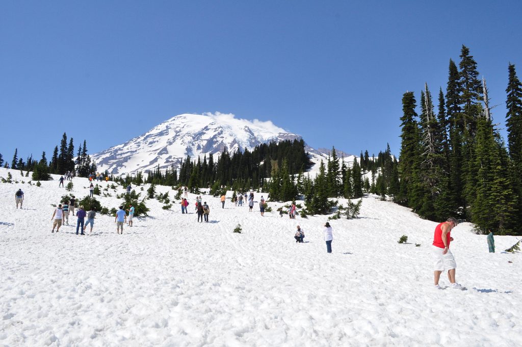
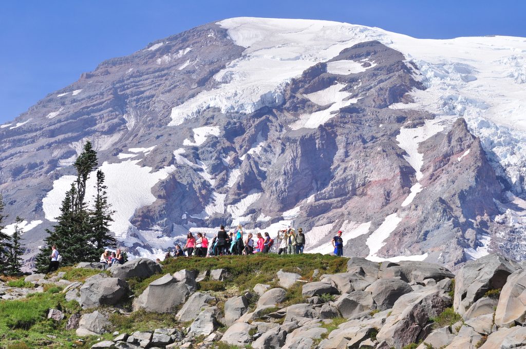
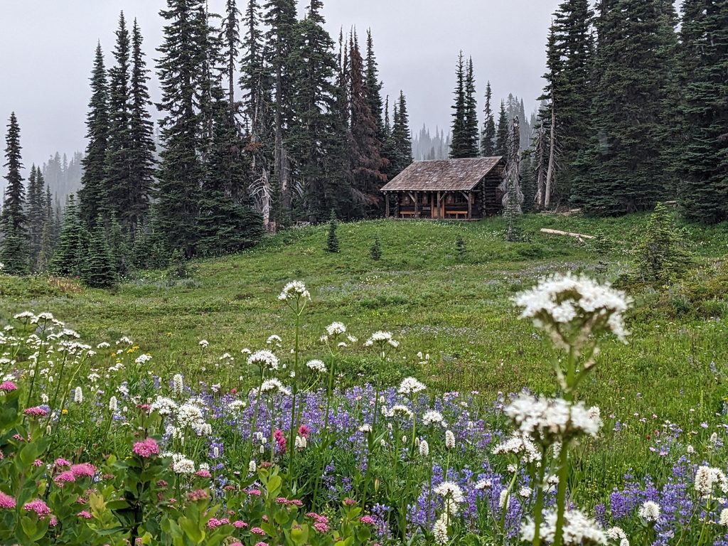
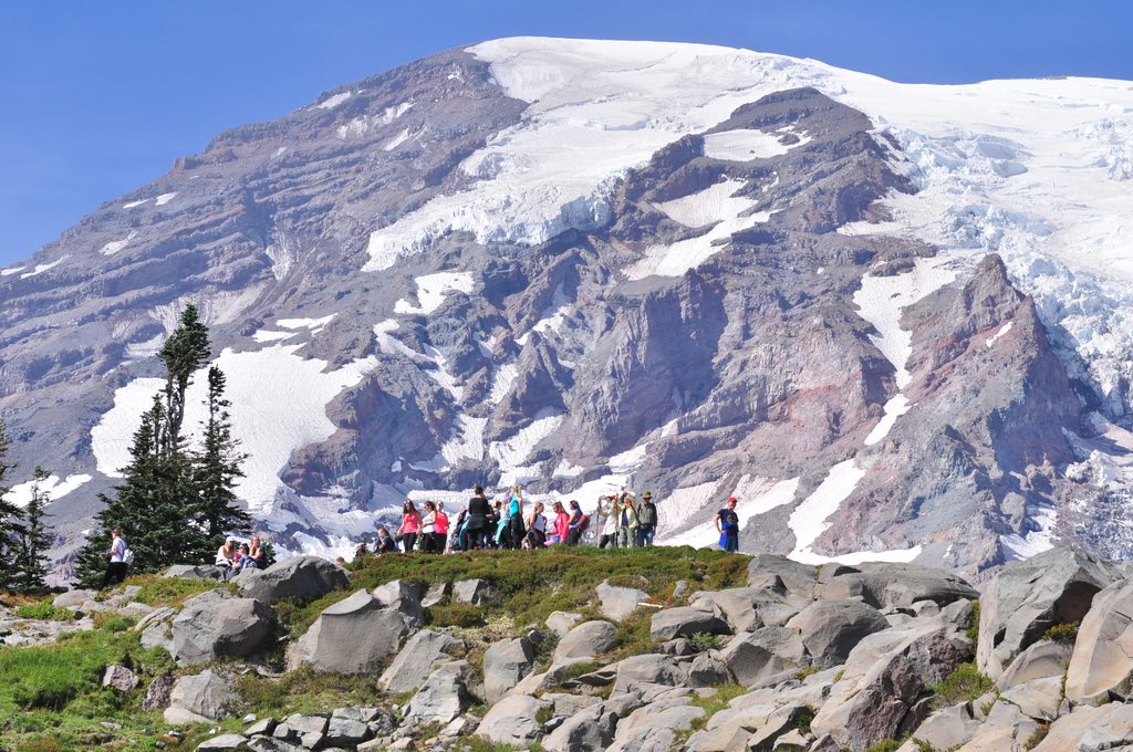
This corridor delivers subalpine meadows, old-growth fringes, and a string of lakes and basins, with Mount Rainier’s snowy mass often stealing the show on clear days. Summer brings vibrant wildflower displays; later, the hillsides light up with fall color and crisp air. The broader landscape belongs to the Cascade volcanic arc—think glacially carved valleys and rugged ridgelines shaped by ice and ancient eruptions.
Chinook Pass itself can feel busy, but the crowd thins quickly beyond the immediate trailhead. Set your expectations for a memorable, scenic walk with stretches of real solitude between major road crossings.
Aim for late July through September. That’s when lingering snow has usually melted, wildflowers peak (late July–August), and fall colors arrive with thinner crowds (September). Early season can mean snowfields and tricky footing; late fall can bring early storms and ice. Start early for parking and quieter miles, especially on weekends.
Trailhead amenities at Chinook Pass include parking, maps, and restrooms, making day-hikes and shuttled section hikes straightforward. Water is available from lakes and streams along the way but can be limited late season—carry enough capacity and treat all sources. Weather turns fast at elevation; pack layers and rain protection even in summer. Keep groups small (no more than 12) to preserve the experience and the trail tread. Dogs are allowed on this section outside the park; follow local leash rules and be wildlife-aware. If you’re chasing an all-in-park loop alternative, the Wonderland Trail circles Mount Rainier nearby (it doesn’t overlap the PCT) and scratches a different itch entirely.
Start at Chinook Pass on SR-410; there are lots of parking spots, on-site maps, and restrooms at the pass. Arrive early on weekends to secure a space.
Expect lingering snow early season, sudden weather shifts any time, and limited late-season water; carry treatment and warm layers. Keep groups to 12 or fewer and note that the route quickly leaves the national park boundary.
Place
Place
Place
Place
Challenging
Challenging
Challenging
Challenging

Parkwolf Tour Guide
