
Place
Moderate
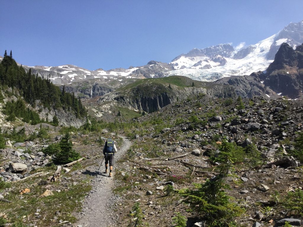
A quiet, forested connector that punches way above its weight, the South Puyallup River Trail climbs through mature old-growth to the Wonderland Trail junction at South Puyallup River Camp. Expect a shady canopy, a roaring glacial river, and a geologic showstopper: the Colonnades—striking columnar-jointed volcanic formations just above the camp.
From Round Pass, it’s roughly 1.6 miles one way (3.2 miles round trip) to the camp and Wonderland junction. The grade is generally gentle to moderate, with some steeper, rougher footing near the upper end. The tread mixes dirt with sustainable features—puncheons, turnpikes, check steps, and bridges—installed after flood-related reroutes. It’s an out-and-back unless you continue on the Wonderland.
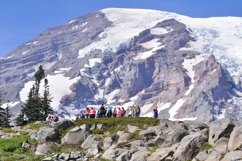
Scenery is classic west-side Rainier: towering western redcedar, Douglas fir, western hemlock, yew, Pacific silver fir, western white pine, and noble fir—plus the rare Alaska yellow cedar sprinkled in. The South Puyallup River is a glacier-fed torrent, especially dramatic early season; many hikers drop to the rocky streambed for a breather and occasional peeks at Rainier’s summit.
Reaching the trailhead requires an approach on Westside Road. In summer, you can drive to Dry Creek parking (the first segment of Westside Road is open), then hike or bike another 1–1.2 miles up to Round Pass. Bicycles aren’t allowed on the trail itself, but there’s a bike rack at the trailhead. In winter, Westside Road is closed to vehicles but open for snowshoeing or skiing.
May through November is your window. Snow can linger into late spring/early summer, and early season runoff can make river-adjacent areas lively. Wildflowers pop in summer (July–August is prime). Forest shade helps on warm days, but bring enough water—midday heat can sneak up on you.
If you’re into big trees, river energy, and geologic oddities without big crowds, this is your lane. If you’re craving open alpine views, consider continuing beyond the camp on the Wonderland to Emerald Ridge or onward toward St. Andrews Park—those panoramas are beyond this trail’s scope.
Park at Dry Creek on Westside Road (summer). From there, hike or bike 1–1.2 miles up to Round Pass; bike rack at the trailhead. In winter, Westside Road is closed to vehicles.
Access involves a Westside Road approach; no bikes on the trail. Expect muddy, slippery tread after rain, and high, fast water early season near the river. Some maps misplace the camp; verify with park resources.
Place
Place
Place
Place
Challenging
Challenging
Challenging
Challenging

Parkwolf Tour Guide
