
Place
Challenging
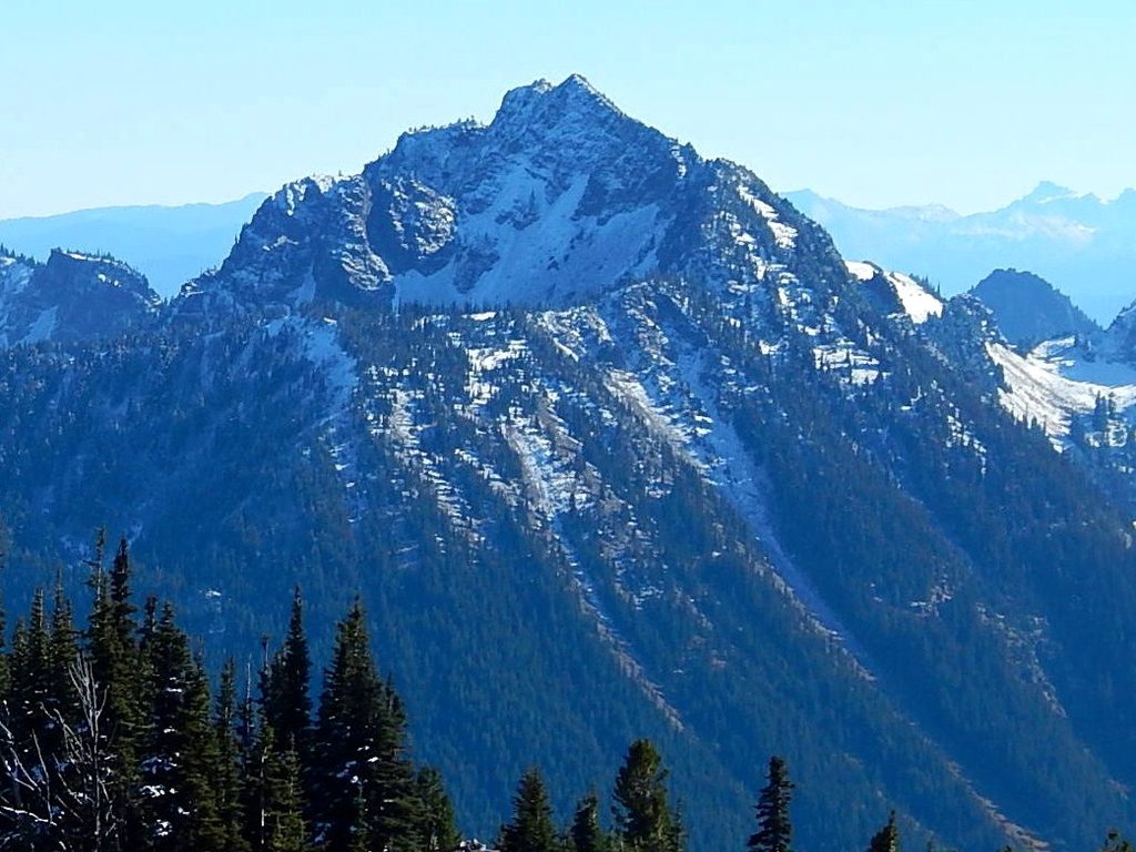
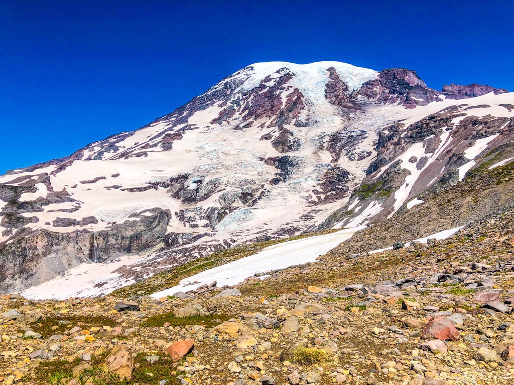
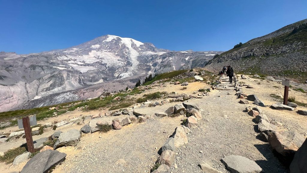
Tamanos Mountain is a strenuous, rewarding out-and-back that blends a mellow approach to Owyhigh Lakes with a hands-on ridge scramble to a 6,790-foot summit. Plan on roughly 10 miles total (round trip) and about 3,000 feet of gain. It’s a hike-scramble hybrid: forest, meadows, lakes, then a steeper, off-trail push with loose rock and short exposed moves near the top. If you want a big view of Mount Rainier’s eastern glaciers without committing to mountaineering, this one delivers.
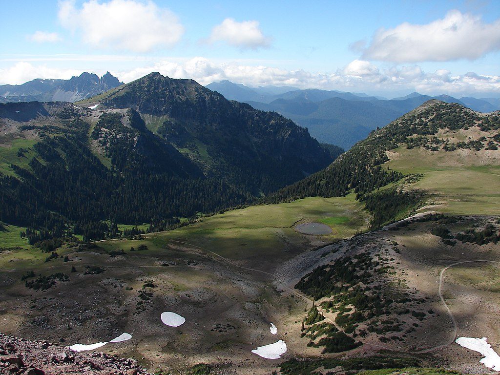
Start from the Owyhigh Lakes Trailhead off White River Road and hike about 3.5 miles on a maintained path through lush old-growth—keep an eye out for Alaska cedar and Douglas fir—and into open meadows trending toward the lakes. Owyhigh Lakes make a natural rest stop, with scenic views toward Governors Ridge and the eastern slopes of Tamanos.
Shortly after passing the lakes (around 5,380 feet where the terrain opens up), leave the maintained trail and begin the off-trail ascent. A practical line trends northwest (approximately 295°) to gain a broad ridge near 6,260 feet. From there, continue north to slightly northwest, generally favoring the left (west) side of rocky outcrops as you work toward the summit. Expect mostly Class 2–3 scrambling, with a brief, spicier section on the northern aspect that approaches Class 4 and includes loose, chossy rock. Descend by retracing your route to the ridge and back to the Owyhigh Lakes Trail.
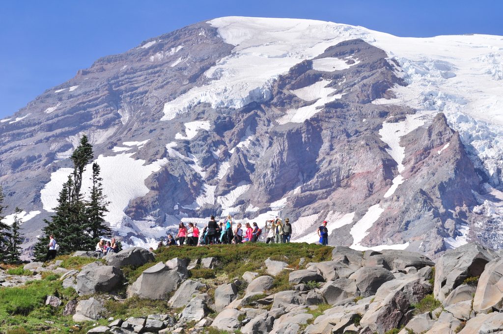
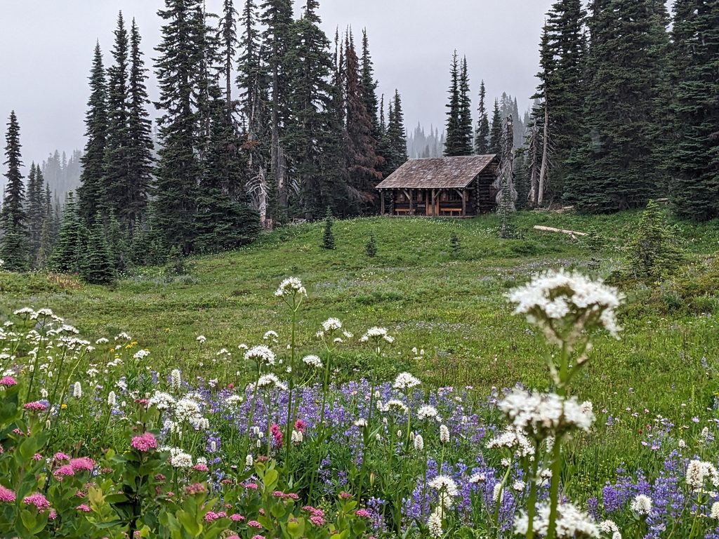
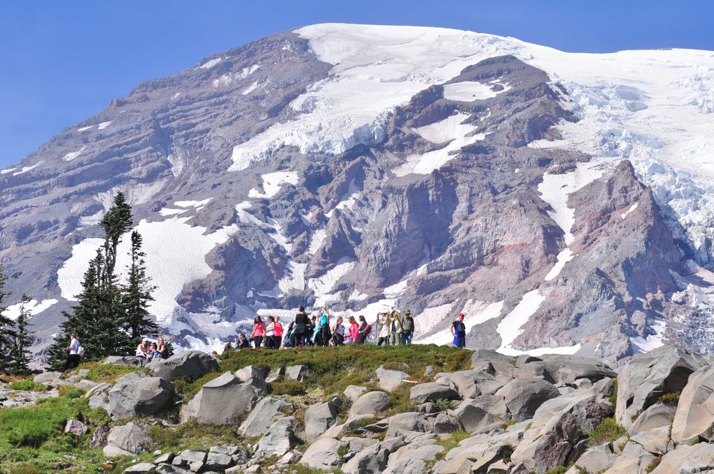
This route packs variety: cathedral-like forest, flower-filled subalpine meadows in summer, reflective lakes, and airy ridge walking with big views. From up high, you’ll eye Rainier’s eastern features—think Fryingpan Glacier, Panhandle Gap, the Cowlitz Chimneys, and sweeping ridgelines like Governors Ridge and Barrier Peak. It’s classic volcanic country sculpted by ice: craggy outcrops, talus, and heather meadows stitched between.
This is for confident hikers who are comfortable leaving a signed trail and navigating cross-country. The upper route is unmarked and can be subtle in spots; you’ll use terrain cues and a bit of scrambling sense to keep the best line. If you’re brand-new to off-trail travel, this will feel committing—particularly the loose, exposed bit near the summit.
There are designated sites at Tamanos Camp near Owyhigh Lakes; a wilderness permit is required for any overnight. It’s a smart base if you want sunrise or sunset light from the ridge or summit. Note that mosquitoes can be persistent around lakes and meadows in mid-summer.
July through September is the sweet spot: trails are typically snow-free, flowers pop, and long, clear days reward the summit effort. Aim for early starts on weekdays for cooler temps, better photography light, and fewer people near the lakes. Shoulder seasons can mean lingering snow on the upper slopes and tricky route-finding. In winter, White River Road is seasonally closed (typically October into early summer), making access limited.
No pets are allowed on park trails. Day hikers don’t need a wilderness permit, but you will need one for any backcountry camping at designated sites. Expect mosquitoes in mid-summer and be ready for rapidly changing alpine weather.
Park at the Owyhigh Lakes Trailhead off White River Road.
After Owyhigh Lakes the route is unmarked, with loose, chossy rock and a brief section near the summit approaching Class 4 exposure. Snow can linger early season, visibility can make navigation tricky, mosquitoes can be intense near the lakes, and White River Road closes seasonally. No pets on park trails.
Place
Place
Place
Place
Challenging
Challenging
Challenging
Challenging

Parkwolf Tour Guide
