Parking
Park at the Old Trace Walk area at milepost 403.7 on Natchez Trace Parkway. The trail sign is on the right side of the lot; the signed main path enters the woods.
Natchez Trace Parkway, MS · AL · TN
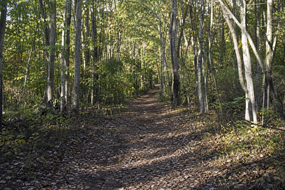
A short, wooded walk on the original Natchez Trace.
Overview
Map & elevation
Plan your hike

The highest, rockiest slopes around here are a summer buffet for grizzly bears.
Natchez Trace Tour Guide
Parkwolf is a GPS audio tour guide for Natchez Trace Parkway. As you drive, it chimes in with what’s ahead: hidden gems, upcoming stops, history, geology, and wildlife, right through your car’s speakers.
Recorded for this trailhead
Old Trace Walk at Milepost 403.7“You're approaching Old Trace Walk at milepost 403.7, a short walk on the original road under the trees.”
Plays as you drive up to this trailhead in the Parkwolf Natchez Trace Tour Guide.
More stories near here in the app
“Fantastic app with many points of information… It’s great to just turn on while you’re driving and it gives you an audio tour of the national Park. We love it!!!!”


Trail guide
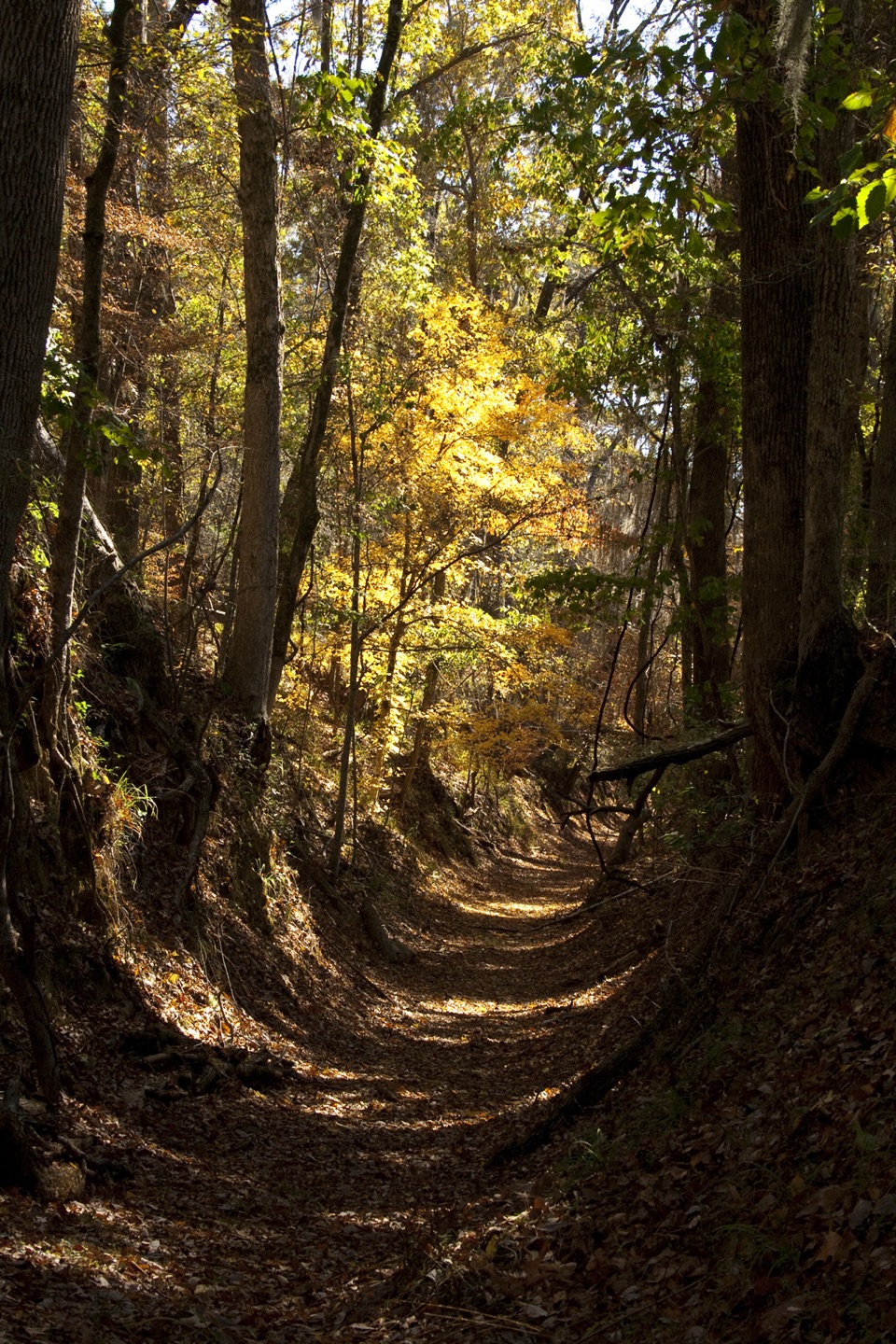
Old Trace Walk is an easy out-and-back along a preserved stretch of the original Natchez Trace at milepost 403.7. Follow the old tread about 0.3 mile to its end, then retrace it for about 0.6 mile total; NPS allows 10–15 minutes. The route stays on a wooded ridge about 300 feet above Duck River, so this is a walk on the historic road, not a path down to the water.
The path is mostly level, with two small rises. Loose stones cover some sections, and the old track narrows and gets a little overgrown farther in before ending at the woods. Its shallow sunken shape reflects heavy passage by people, pack animals, and wagons. Early 19th-century travelers were expected to cover 20 to 30 miles a day on foot or horseback; this short segment offers a close look at one part of their route. The worn sides of the track are the detail to notice; there is no confirmed river view.
Park at the Old Trace Walk area at milepost 403.7 on Natchez Trace Parkway. The trail sign is on the right side of the lot; follow the signed main path into the woods and turn around at its end. NPS lists auto parking and interpretive information. Lot capacity, toilets, and drinking water were not confirmed. Dogs are allowed on Parkway trails on a leash six feet or shorter. Loose rock and narrowing vegetation are the main footing issues.
Wildlife
 39 sightingsAmerican AlligatorMost seen around 6 PMSighting map
 35 sightingsWhite-tailed DeerMost seen around 7 AMSighting map
 53 sightingsWild TurkeyMost seen around 7 AMSighting map
 28 sightingsGreat Blue HeronMost seen around 6 PMSighting map
 29 sightingsRed-headed WoodpeckerMost seen around 7 AMSighting map
 32 sightingsTurkey VultureMost seen around noonSighting map
Sighting maps show where each species has been reported across Natchez Trace. Wildlife moves, so no sighting is guaranteed.
Keep exploring
 ModerateBaker Bluff Trail0.4 mi · 15 min · 0.9 mi awayA short connector to a wide Tennessee view, with one steep pitch.
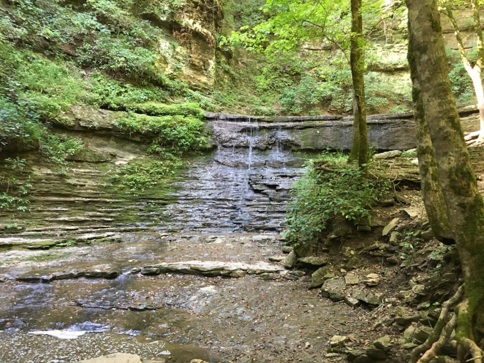 ModerateJackson Falls Trail0.4 mi · 45 min · 1 mi awayA steep paved descent ends at a clear pool beneath layered falls.
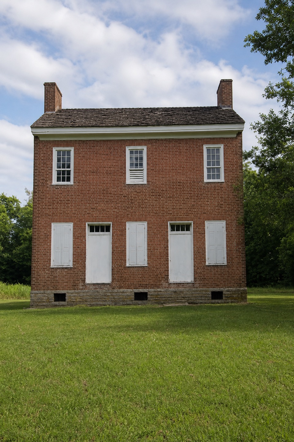 EasyHistoric Gordon House Trail0.7 mi · 30 min · 3.3 mi awayAn 1818 house and a former ferry crossing, in one short walk.
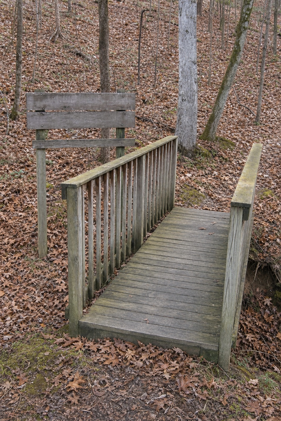 ModerateDevil's Backbone Trail3.1 mi · 1.5 hr · 8.2 mi awayA ridge trail drops into a creek hollow, then climbs back out.
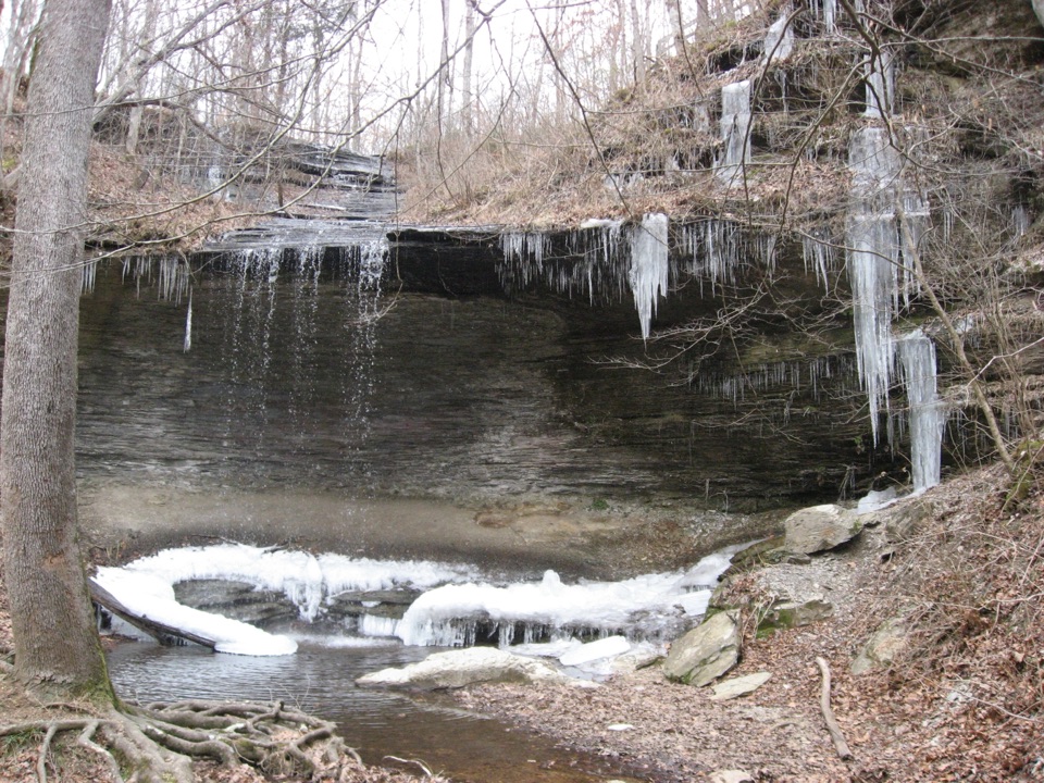 EasyFall Hollow Waterfall Trail0.2 mi · 15 min · 10.1 mi awayA quick paved walk to a 20-foot waterfall
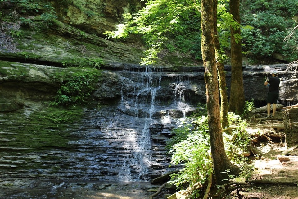 Sight · 0.9 mi awayJackson FallsSteep 900-foot paved walk down to a sculpted cascade and pool
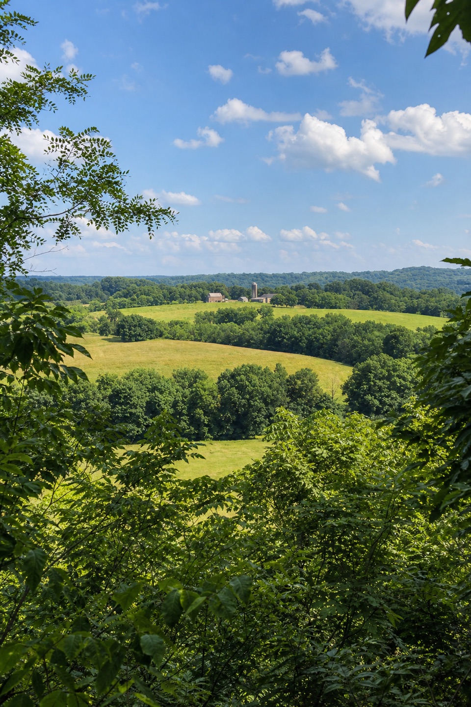
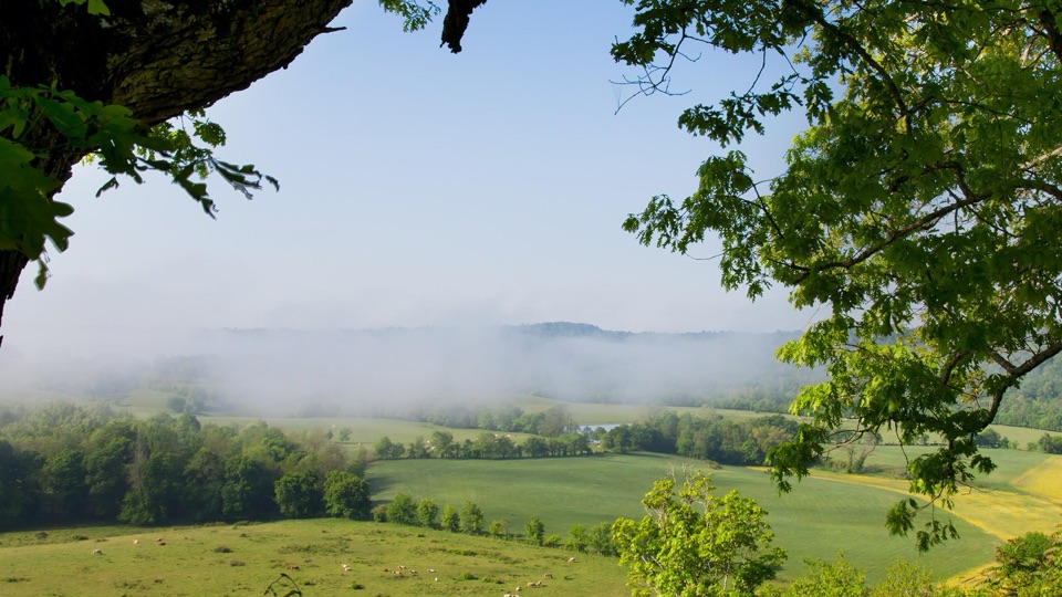 Sight · 1.3 mi awayBaker Bluff OverlookSeasonal rural vista over Tennessee farmland, barns and wooded ridges
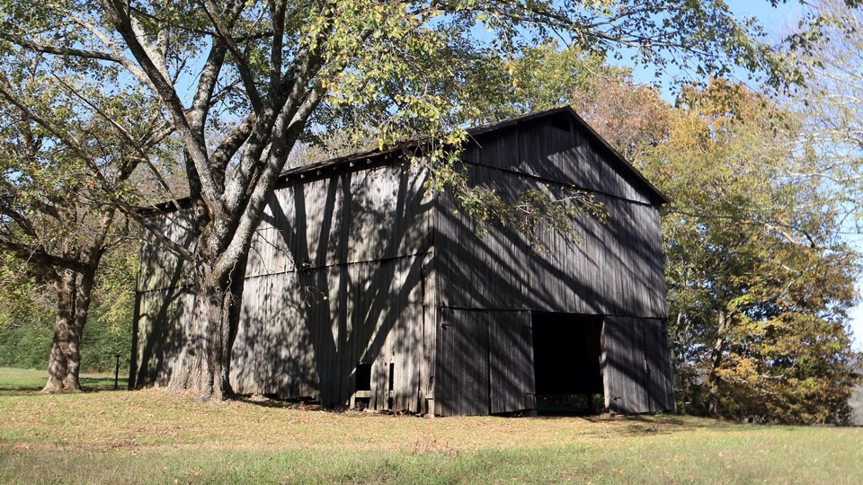 Sight · 1.8 mi awayTobacco Barn and Old Trace DriveStep inside a historic barn, then drive two miles of Old Trace
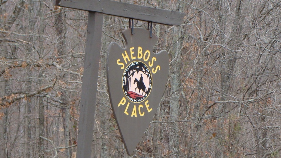 Sight · 2.6 mi awaySheboss PlaceRoadside arrowhead sign marking a vanished inn and a wry legend
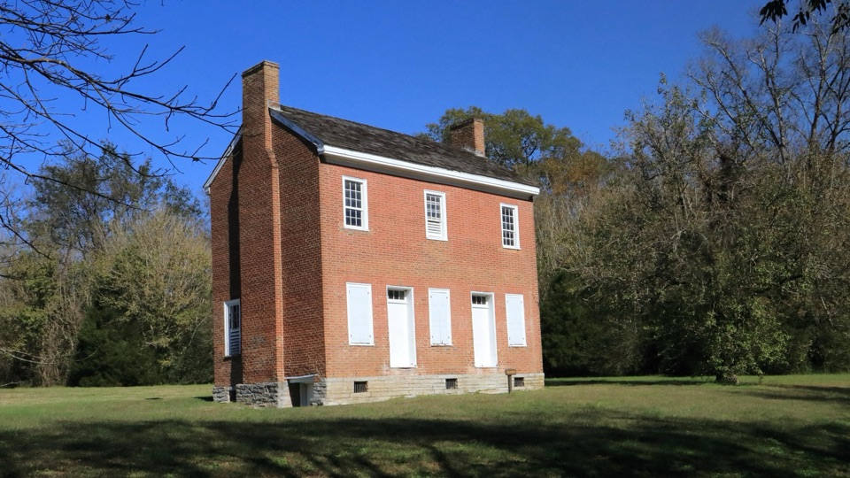 Sight · 3.3 mi awayGordon House Historic SiteRare 1818 brick house from the Old Trace ferry days
Parkwolf’s Natchez Trace ranking

The audio tour guide for the drive, plus offline maps, trails, and wildlife heatmaps for when the signal drops.