
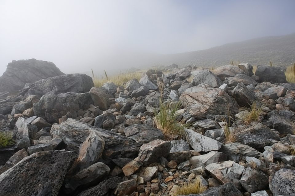
Place · 0.7 mi away
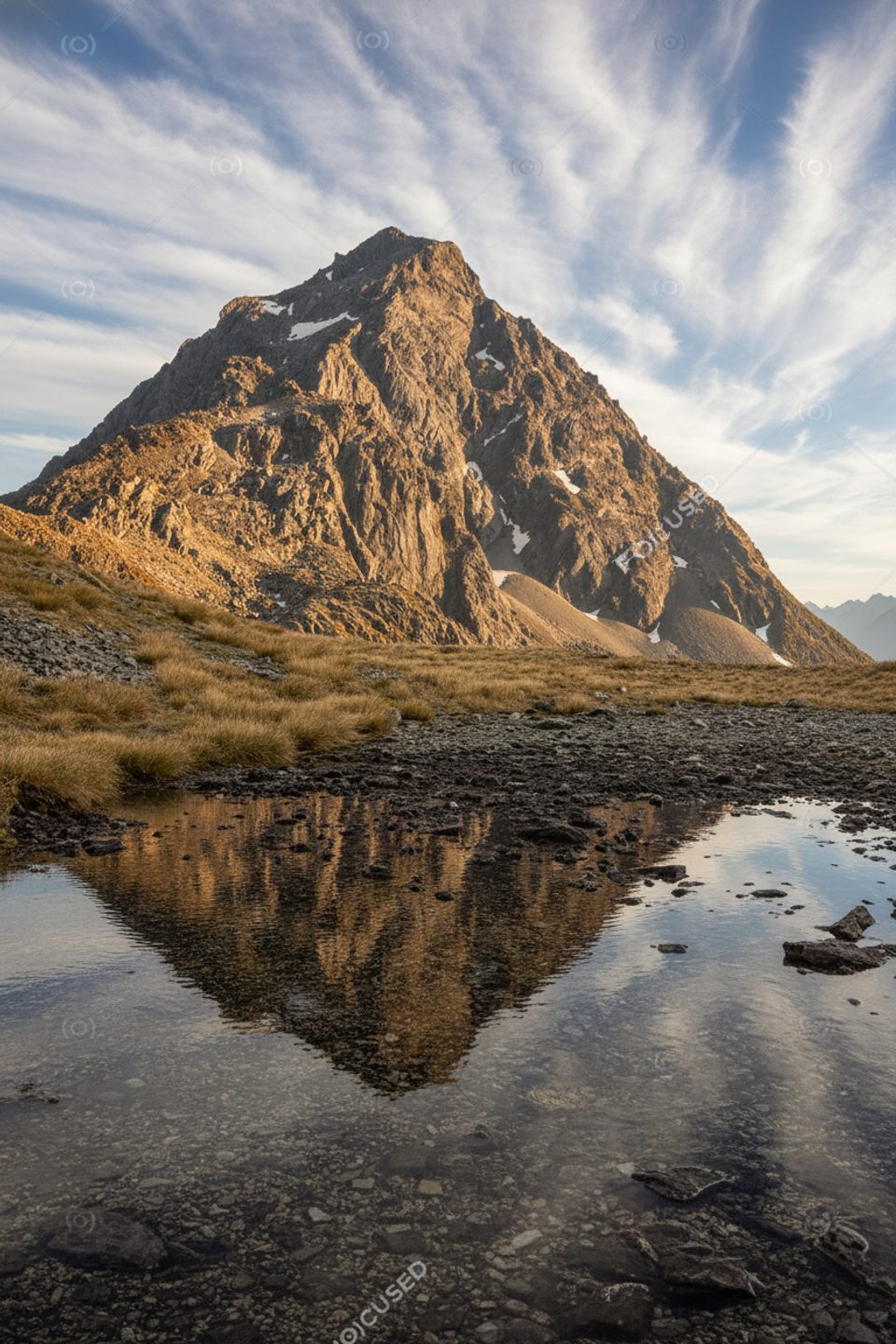
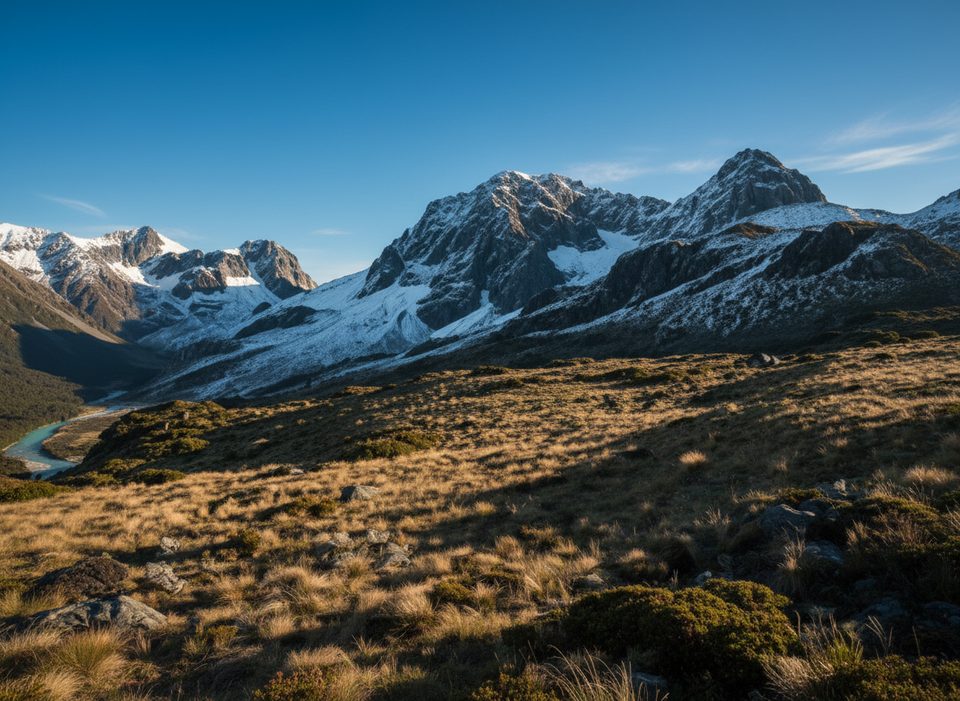
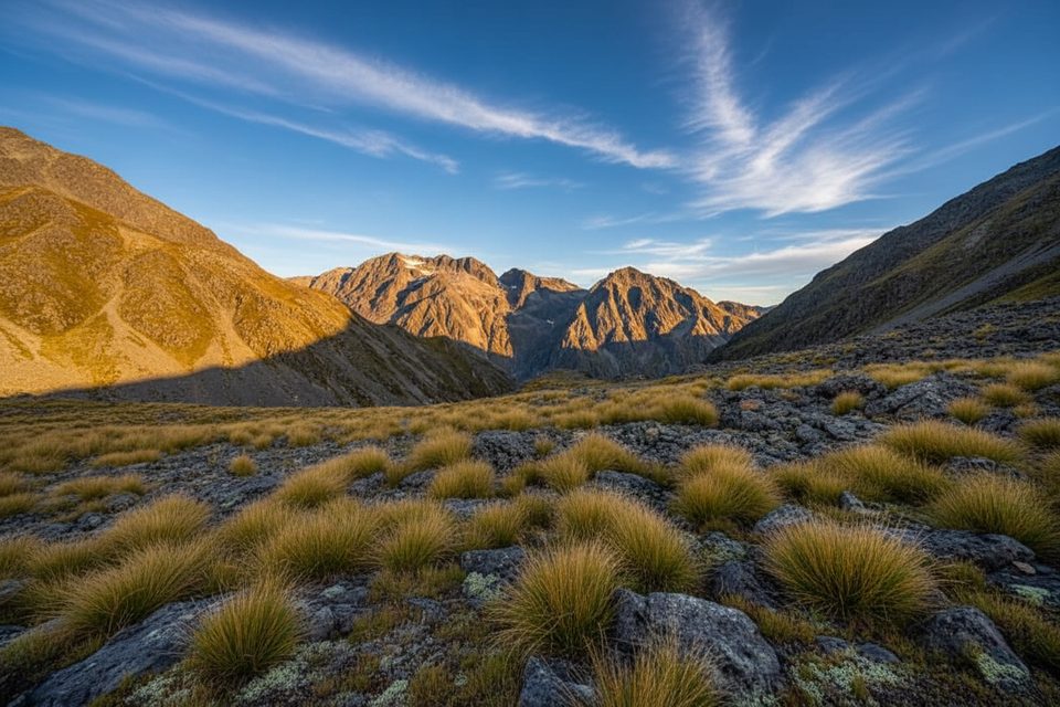
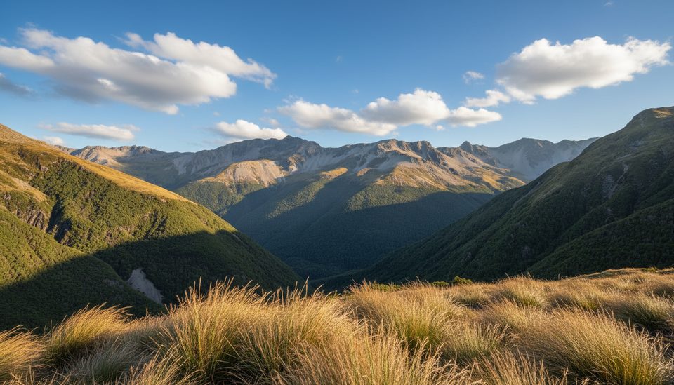
Mount Travers anchors the head of the Travers Valley, rearing up above the tussock flats by Upper Travers Hut. You don’t climb the peak on the standard circuit, but it dominates the skyline and feels close enough to touch from the hut. It’s a classic high-alpine scene and one of the visual highlights of the route.
Most hikers meet Mount Travers while walking the Travers–Sabine Circuit. From St Arnaud you work up-valley past Lakehead/Coldwater and John Tait huts to Upper Travers Hut, which sits at the base of the mountain’s east face with big, open views. You’ll also glimpse the mountain near Hopeless Creek on the way up-valley, and again from Poukirikiri/Travers Saddle, which offers wide, panoramic vistas.
This is true alpine country. The section over Poukirikiri/Travers Saddle between Upper Travers Hut and West Sabine Hut is exposed; in winter and well into spring it can require ice axes and crampons, and there’s avalanche terrain, especially on the Sabine side. Sudden weather changes, heavy rain, and freezing conditions are possible any time of year.
Approaches pass Lakehead/Coldwater, John Tait, and then Upper Travers huts (on the flats right beneath the mountain). Seasonal hut fees apply, and some huts may require bookings. Many walkers shorten the approach by taking a water taxi up Lake Rotoiti. Note that the Rotoroa Route on the east side of Lake Rotoroa is permanently closed; from Sabine Hut you either tramp via Speargrass/Mt Robert or use the Lake Rotoroa water taxi.
The circuit crosses more than 20 marked avalanche paths; John Tait Hut sits below an avalanche path and shouldn’t be used during storms or when snow reaches the valley floor. Water in the valleys is generally good but not guaranteed—treat it. Insects can be a factor: wasps are common January–April and sandflies are notorious around the lakes in summer. Isolated car parks can see theft; use the visitor centre’s bag storage and don’t leave valuables in vehicles.
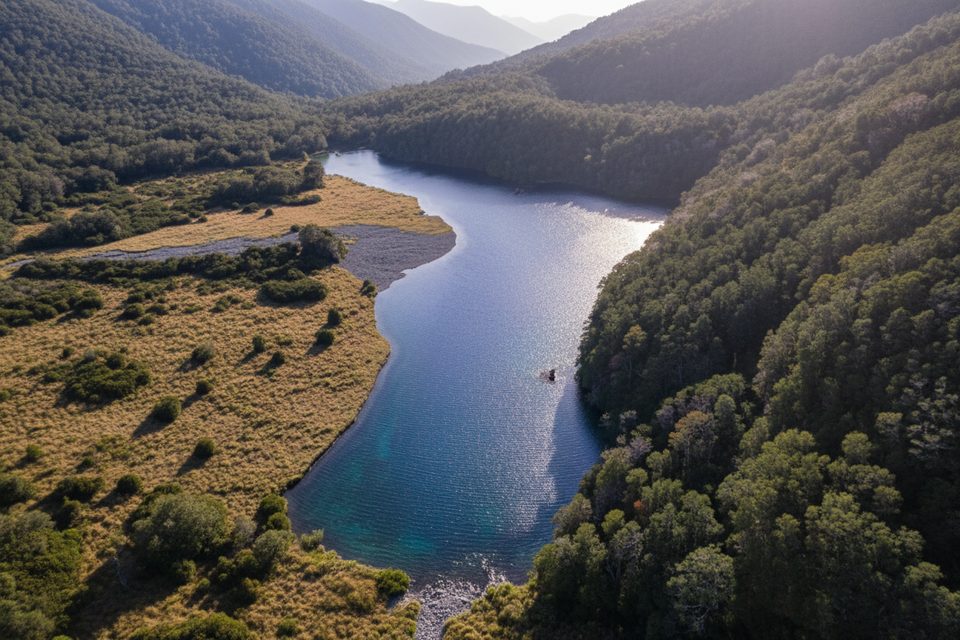
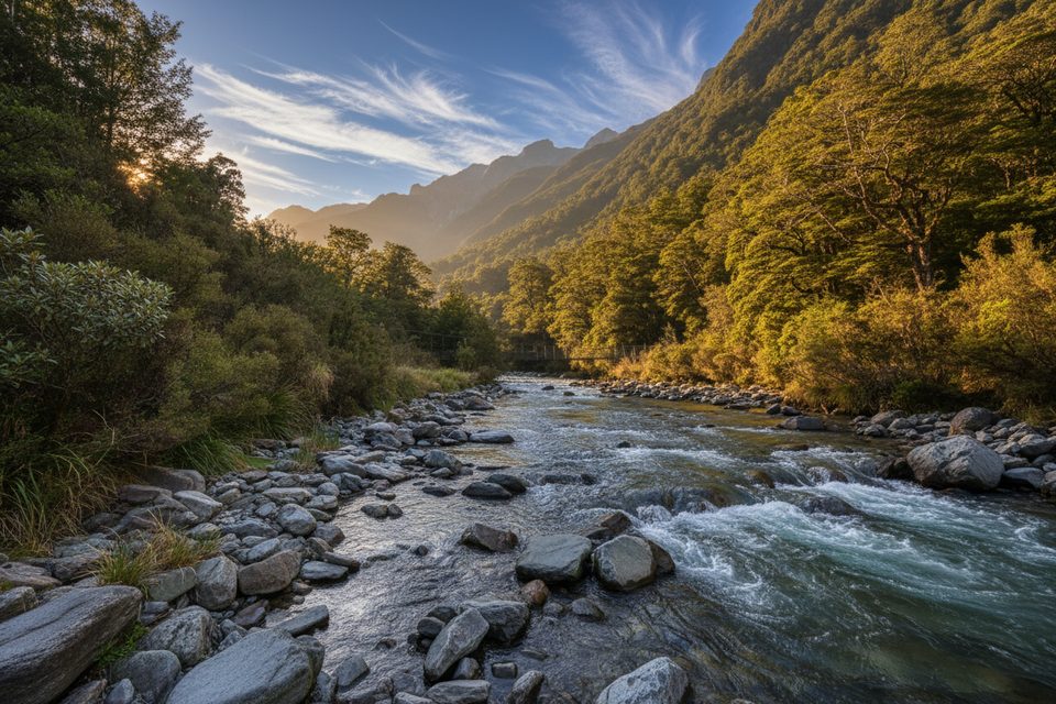
Expect native beech forest and tussock country on the approach, with weka often encountered in the Sabine Valley. Around Blue Lake (a popular side trip beyond West Sabine), the water is exceptionally clear—no washing or swimming there.
The main tramping season runs December–April. Snow can linger into late November on alpine passes, and freezing conditions are possible year-round on the saddle. For the most rewarding views of Mount Travers, plan your hut nights at Upper Travers Hut during settled weather and book huts in advance during the peak season.
Place · 0.7 mi away
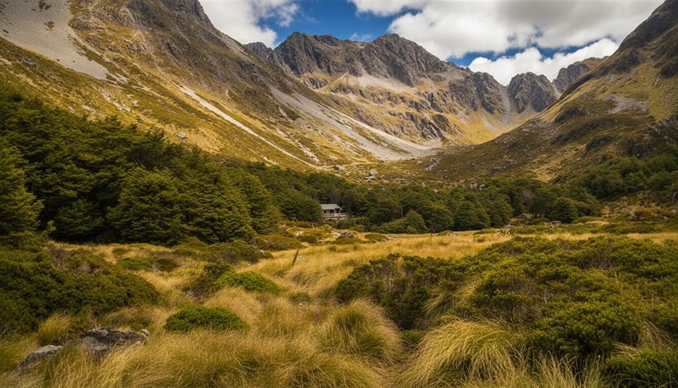
Place · 0.9 mi away
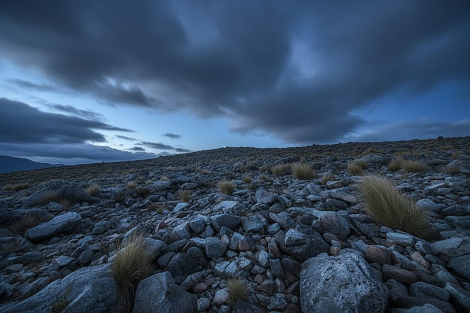
Place · 0.9 mi away
Place · 2.3 mi away
Challenging · 0.9 mi away
Challenging · 2.6 mi away
Moderate · 2.6 mi away
Challenging · 3.4 mi away

Parkwolf Tour Guide
