
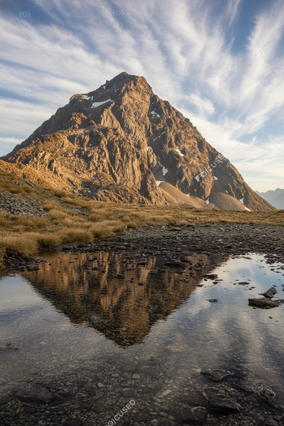
Place · 0.7 mi away
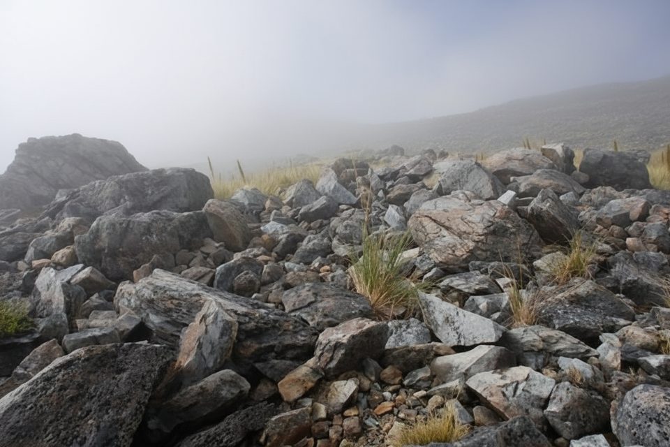
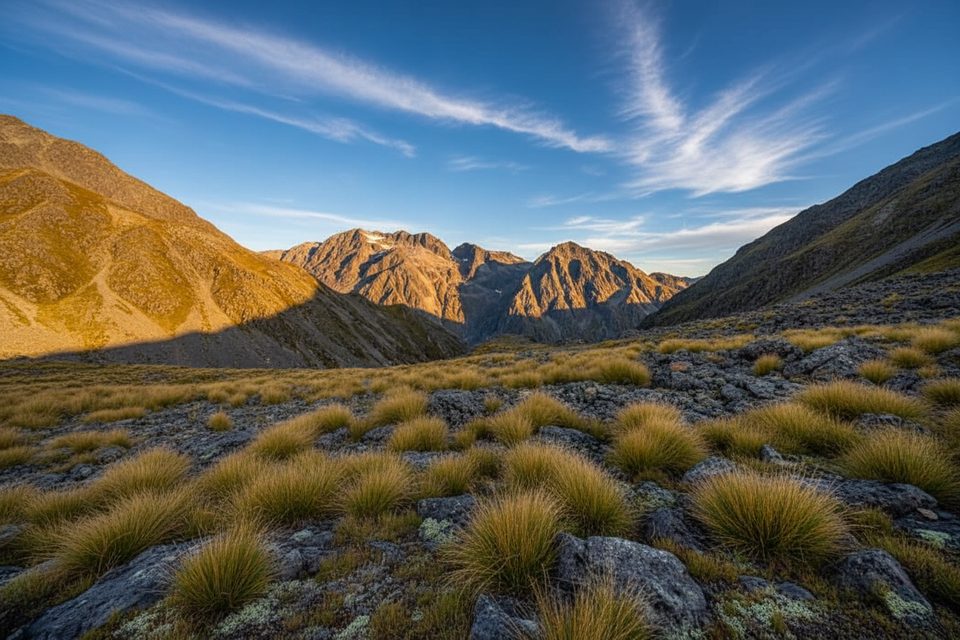
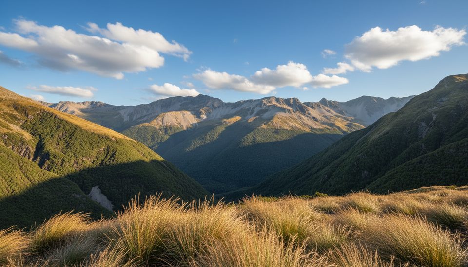
Poukirikiri / Travers Saddle is the high, windswept pass linking the upper Travers and Sabine valleys on the Travers–Sabine Circuit (also a section of Te Araroa). It’s the committing crux of the circuit—big views, big exposure, and a real sense of being in the mountains.
Most parties go Travers to Sabine because the climb is more straightforward from the Travers side. From Upper Travers Hut, follow snow poles through alpine shrubs, then a steep zigzag up scree to the saddle (about a 450 m climb, roughly 1.5 hours from the hut). From the saddle, the descent toward West Sabine Hut is a very steep 1000 m drop on tussock, scree, and gullies before easing on the valley floor. Expect 6–9 hours total for Upper Travers Hut → saddle → West Sabine Hut, depending on conditions.
The most reliable window is October–May, but freezing conditions are possible any time and winter snow can linger into late November. Treat it as full alpine travel if snow remains. Weather flips fast up here—pack warm layers and rain gear even in summer.
Avalanche terrain is the headline risk, with the Sabine side notably exposed and many avalanche paths on the wider circuit. Avalanches are most common June–October but can occur into December. If snow is present, only experienced, well‑equipped groups should go, checking the local avalanche advisory and carrying/knowing how to use transceiver, probe, and shovel; ice axe and crampons may be required in winter and spring. John Tait Hut sits below an avalanche path and should be avoided during storms or when snow reaches the valley floor.
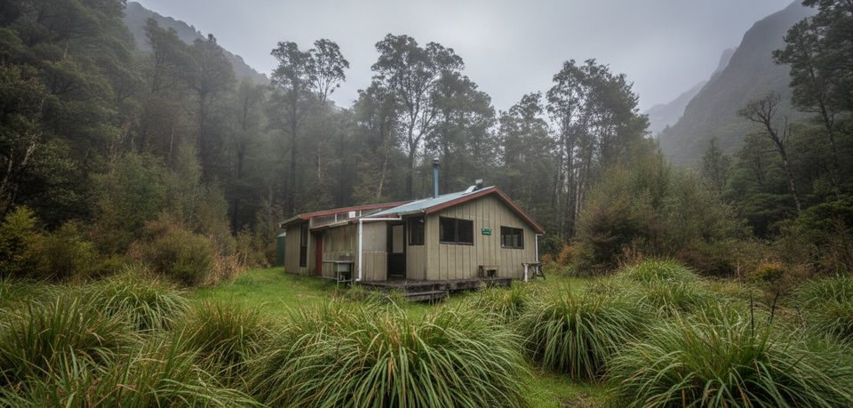
There’s no facility on the saddle. Stage from Upper Travers Hut (Travers side) and aim for West Sabine Hut after the descent. Use hut toilets; carry in/carry out principles apply between huts. Water is generally good in the valleys, but DOC recommends boiling, filtering, or treating. Little to no water sits on the actual saddle—fill up before you climb.
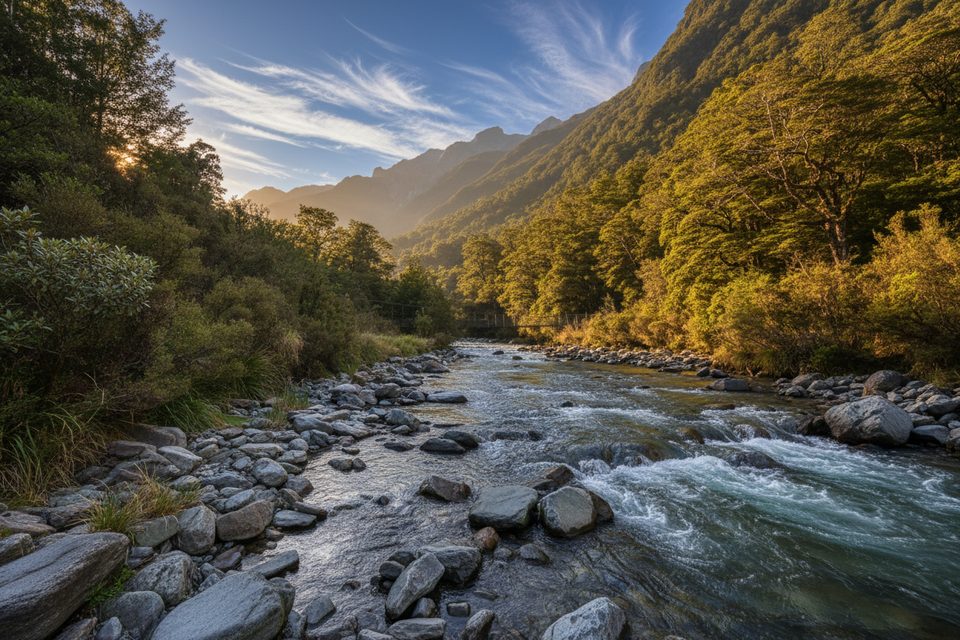
You’ll move from beech forest alive with birds up into tussock, scree, and boulder country. Around rivers and in alpine basins you may encounter whio/blue duck and, higher up, kea—give wildlife space and keep snacks secured. Sandflies are common near water, and invasive wasps can be abundant from January to April.
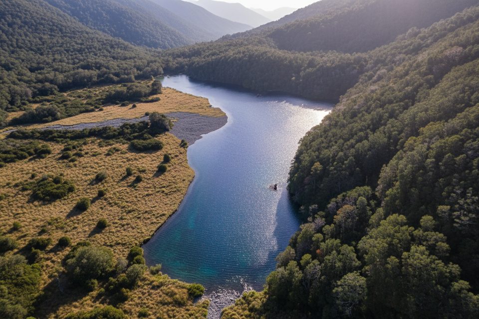
If conditions and time allow, Rotomairewhenua/Blue Lake is a popular overnight detour from West Sabine. Other worthy side valleys off the Travers include Cupola Basin and Hopeless Creek.
Late summer to early autumn offers the most settled conditions. In late spring (including late November), plan for lingering snow and early‑season avalanche hazard. Start the crossing early to bank daylight for the long descent, and watch the forecast closely the day before you commit.
Place · 0.7 mi away
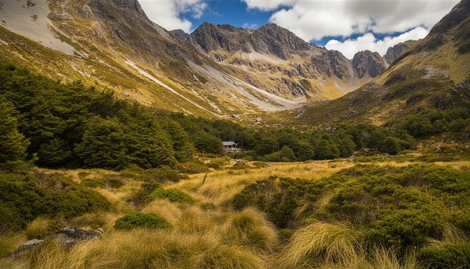
Place · 1 mi away
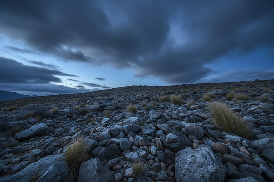
Place · 1 mi away
Place · 2.8 mi away
Challenging · 1 mi away
Challenging · 2.8 mi away
Moderate · 2.8 mi away
Challenging · 4 mi away

Parkwolf Tour Guide
