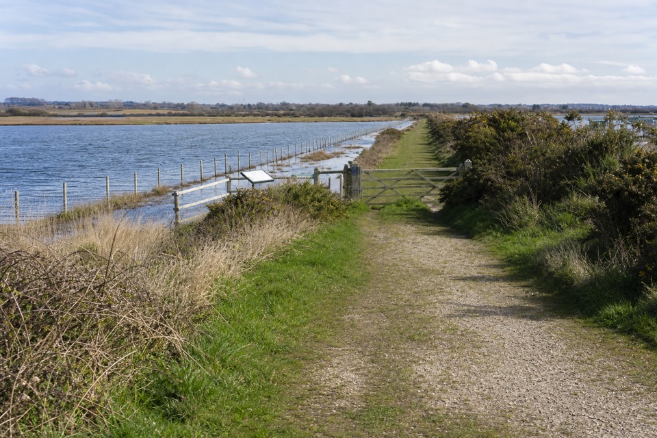
Parking
Starts at Salisbury Cathedral and ends at Christchurch Priory, with the harbour a nearby continuation. No trail-specific parking or return service was established. Use the five stages and arrange onward travel before setting out.
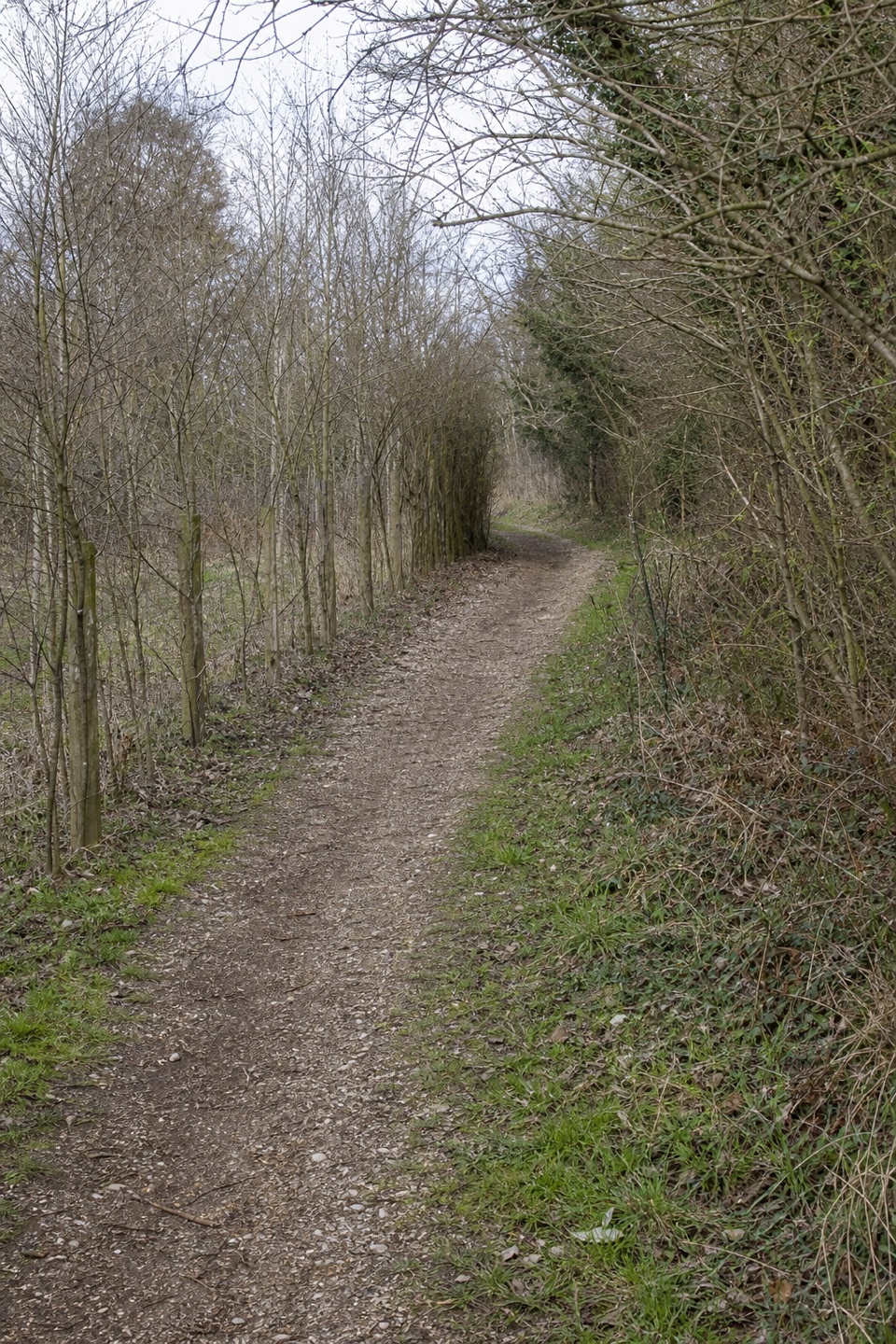
#7 of 70 trails in New Forest
New Forest National Park, EN
A five-stage river path from Salisbury to the Christchurch coast.
Overview
Map & elevation
Plan your hike

The highest, rockiest slopes around here are a summer buffet for grizzly bears.
New Forest Tour Guide
Parkwolf is a GPS audio tour guide for New Forest National Park. As you drive, it chimes in with what’s ahead: hidden gems, upcoming stops, history, geology, and wildlife, right through your car’s speakers.
“Fantastic app with many points of information… It’s great to just turn on while you’re driving and it gives you an audio tour of the national Park. We love it!!!!”


Trail guide
Avon Valley Path is a 34-mile, one-way long-distance walk from Salisbury Cathedral to Christchurch Priory, following the River Avon through Wiltshire, Hampshire and Dorset. It crosses the western edge of the New Forest, then keeps going to the south coast, so this row describes the full route, not just its New Forest section. The path is divided into five stages, each planned as a day out. Allow about 13–16 hours on foot across the whole line, before stops or travel between stages. If you want one New Forest walk, choose a shorter section rather than setting out expecting a short circular trail.
From Salisbury, the route follows the Avon valley toward Downton. Near Downton, it climbs onto a ridge with views back to the cathedral spire and across the valley, then descends through woodland into the New Forest at Hatchet Green. Thatched cottages face the green where ponies graze, and a lime-tree avenue leads past Hale House and St Mary’s Church. At Woodgreen, the path skirts the medieval earthwork at Castle Hill, then crosses water meadows to the suspension bridge at Burgate. The bridge was rebuilt in 1950 after a tank destroyed the original during the Second World War. The path reaches Fordingbridge by the old railway line and St Mary’s churchyard; the town’s seven-arched stone bridge spans the river at its center.
South of Fordingbridge, the trail follows the Avon’s west bank, then swings inland past Harbridge Green and Turmer and crosses water meadows toward Ibsley. These meadows are a conservation area managed without fertilizers or pesticides. At Ibsley the trail passes a handsome bridge, crosses a main road, climbs through paddocks to Summerlug Hill and follows heathland with valley views toward Mockbeggar and Moyles Court. After Rockford it leaves the road for a bridleway between lakes; a stream runs alongside for part of the way, and the path passes Kingfisher Lake before reaching Ringwood under the A31. This is the most varied New Forest stretch: town streets, open fields, a hill, heath, lakes and shaded streamside walking.
From Ringwood, the route crosses a mill stream and follows a disused railway across meadows toward Kingston North Common. It passes Wattons Ford and Bisterne Church, then briefly follows the main-road verge near Bisterne Manor. Past North End Farm, the path turns through woodland and open fields and follows a stream toward Sopley. Monmouth House is a useful historic stop near Ringwood; the Duke of Monmouth was held there before he was taken to the Tower of London. After Sopley, the path crosses fields to Staple Cross, follows a stream through Burton and returns to the water meadows. It crosses the Avon at a weir, passes beneath the railway and ends at Christchurch Priory; the harbour is a nearby continuation.
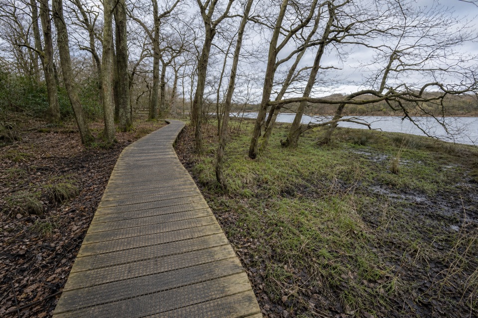
The route can be seriously waterlogged from December through May, and some sections use road crossings or a verge. This isn’t a car loop: choose a section or arrange travel between stages before setting out. For a shorter New Forest option, Ringwood–Sopley is 6.5 miles one way and estimated at 2.5–3 hours, but it still needs onward transport. For the full route, the length and multi-day logistics are the real commitment.
Wildlife
 28 sightingsRed DeerMost seen around 7 AMSighting map
 10 sightingsWhite-tailed EagleMost seen around 10 AMSighting map
 14 sightingsHarbor SealMost seen around 7 PMSighting map
 176 sightingsEuropean Fallow DeerMost seen around 7 PMSighting map
 93 sightingsWestern Roe DeerMost seen around 7 AMSighting map
 54 sightingsMute SwanMost seen around 6 PMSighting map
Sighting maps show where each species has been reported across New Forest. Wildlife moves, so no sighting is guaranteed.
Keep exploring
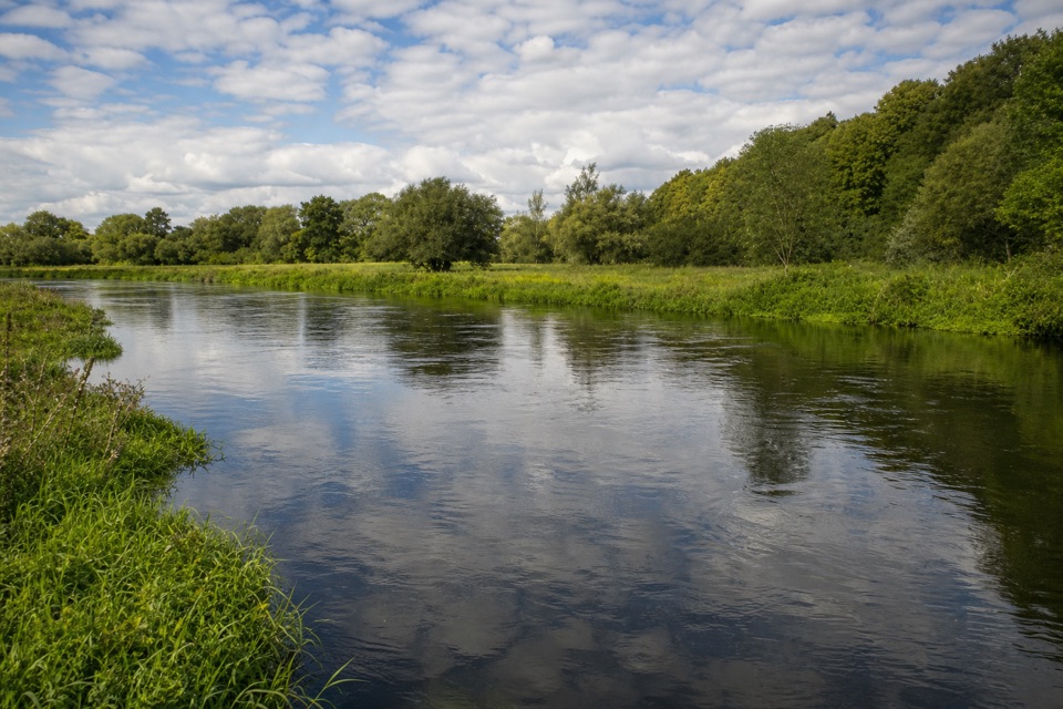 ModerateHale & Woodgreen Walk9.2 km · 2.5 hr · 11.1 km awayA wildlife pond, old drove roads and brief Avon views.
 ModerateHale Purlieu Figure of Eight Walk4.8 km · 1.3 hr · 12.6 km awayA three-mile heath loop with stream fords and two linked circuits.
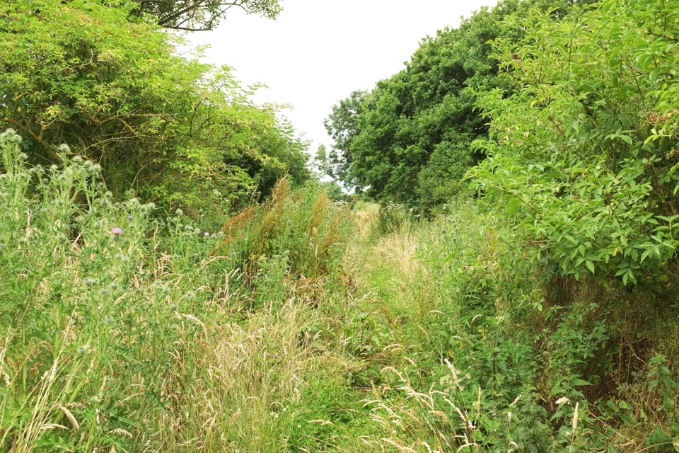 EasyBreamore Railway Line3.2 km · 1 hr · 13.2 km awayFlat old railway path past a station trains left in 1964
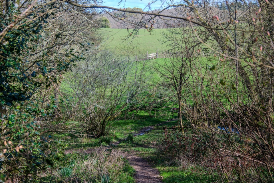 EasyFrankenbury Hill Fort4.2 km · 1.5 hr · 14.9 km awayBeech woods, field paths and an Iron Age fort's wooded edge.
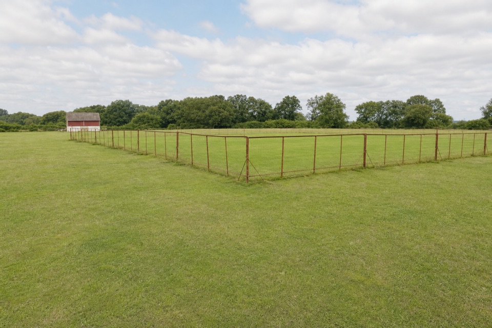 EasyFordingbridge and Godshill Walk5.2 km · 2 hr · 14.9 km awayA field and woodland loop with a stream crossing and frequent stiles.
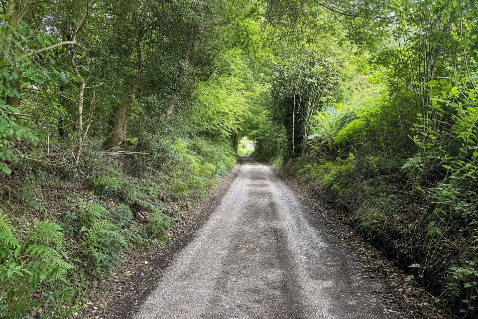 EasyLandford and Hamptworth Walk7.6 km · 2.5 hr · 15 km awayOld beech woods, a ford and quiet farm lanes.
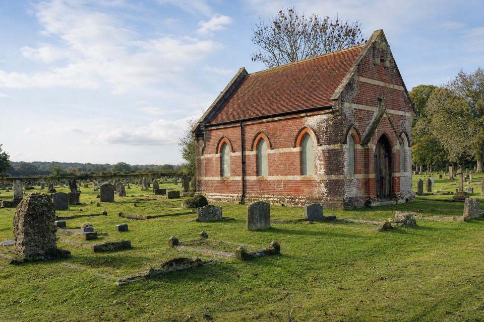 ModerateStuckton Iron Works6 km · 2.5 hr · 15.4 km awayA quiet valley walk with a surprisingly rowdy industrial past.
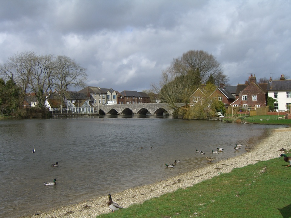 EasyFordingbridge Town Walk3.4 km · 1 hr · 15.5 km awayA gentle circuit along the Avon and through old Fordingbridge.
Parkwolf’s New Forest ranking

The audio tour guide for the drive, plus offline maps, trails, and wildlife heatmaps for when the signal drops.