Parking
Start and finish at the National Trust car park on Lady’s Mile Road, Hale Purlieu (grid ref SU188177).
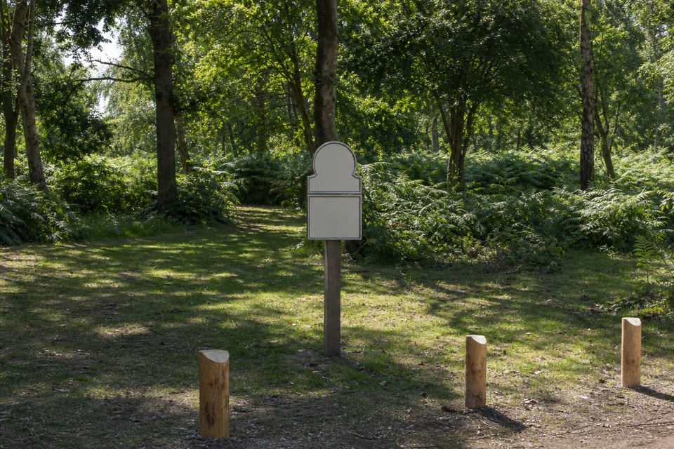
New Forest National Park, EN
A three-mile heath loop with stream fords and two linked circuits.
Overview
Map & elevation
Plan your hike

The highest, rockiest slopes around here are a summer buffet for grizzly bears.
New Forest Tour Guide
Parkwolf is a GPS audio tour guide for New Forest National Park. As you drive, it chimes in with what’s ahead: hidden gems, upcoming stops, history, geology, and wildlife, right through your car’s speakers.
Recorded for this trailhead
Hale Purlieu Figure of Eight“You're coming up on Hale Purlieu, where a three-mile figure-of-eight walk crosses open heath, gorse and stream valleys.”
Plays as you drive up to this trailhead in the Parkwolf New Forest Tour Guide.
More stories near here in the app
“Fantastic app with many points of information… It’s great to just turn on while you’re driving and it gives you an audio tour of the national Park. We love it!!!!”


Trail guide
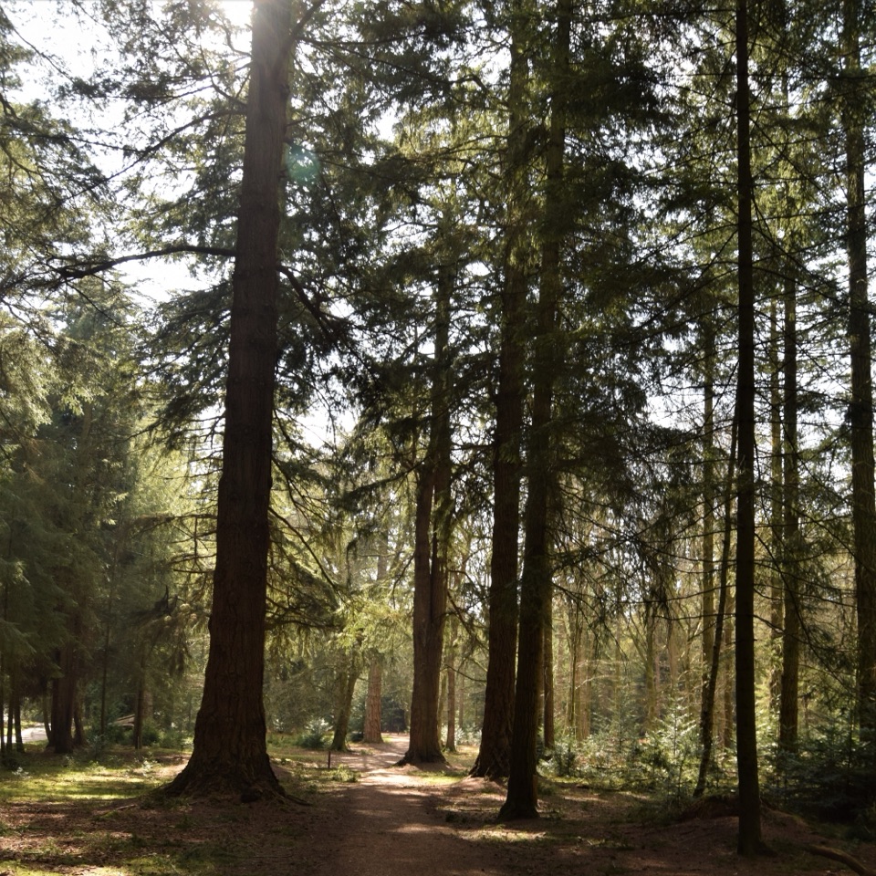
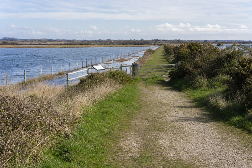
This is a 3-mile (4.8-km) figure-of-eight loop from the National Trust car park on Lady’s Mile Road. It crosses Hale Purlieu’s open heath and gorse, dips into stream valleys, and climbs to views over Millersford Plantation. Allow about 1–1½ hours for both circuits. It’s a good choice if you want a varied commonland walk without making a long day of it.
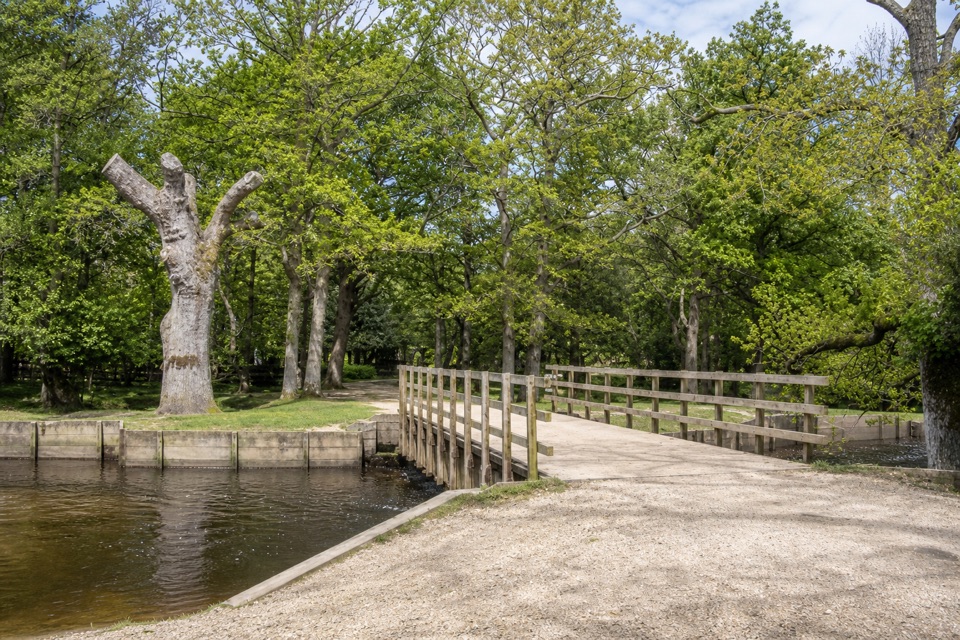
From the car park, the gravel track descends through gorse to Beetles Bottom, where you cross the stream, then climbs past a small patch of woodland. At the first crossroads, head along the common’s edge; the valley opens to the right over Millersford Plantation. The northern part levels out near a pond, though the ground can stay wet. A ford follows, then you return through the crossroads at the centre of the figure-eight, cross another valley, and climb back to the car park. Pause at junctions to check the route and complete both lobes.
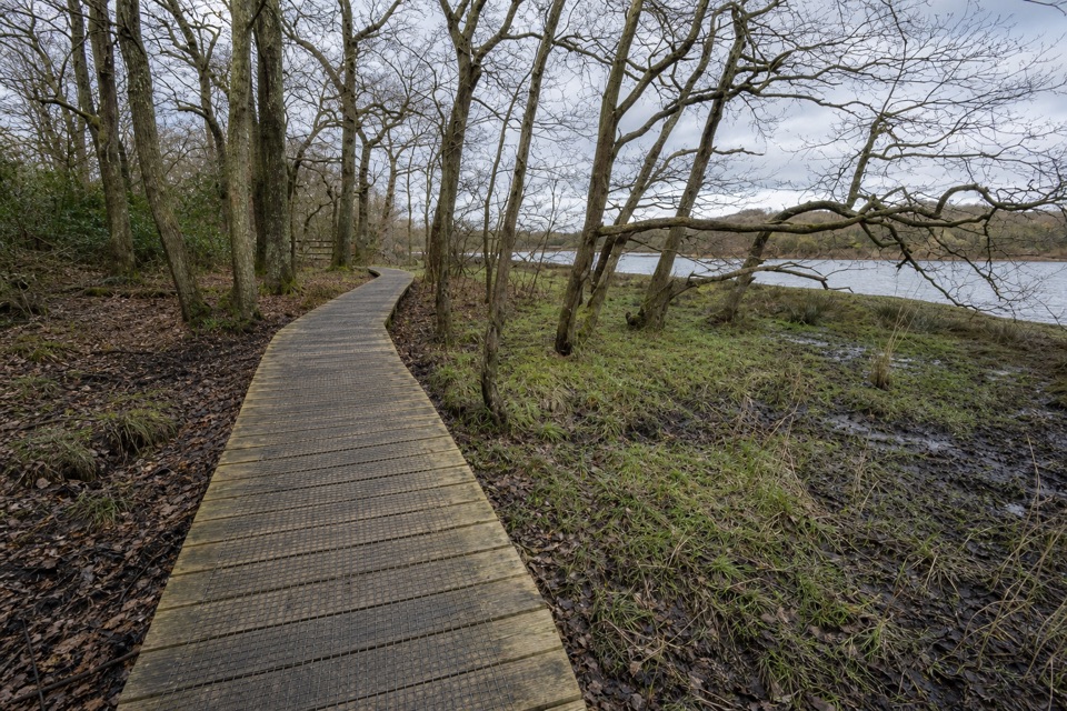
Expect gravel, boggy patches, and several water crossings. The walk has a fairly steep descent and climb at both ends; the ford can get very wet, especially in autumn and winter, so waterproof boots help. Dogs are allowed on leads; from March through July, keep them on a short lead or under close control because of ground-nesting birds. Livestock may be present.
Wildlife
 28 sightingsRed DeerMost seen around 7 AMSighting map
 10 sightingsWhite-tailed EagleMost seen around 10 AMSighting map
 14 sightingsHarbor SealMost seen around 7 PMSighting map
 176 sightingsEuropean Fallow DeerMost seen around 7 PMSighting map
 93 sightingsWestern Roe DeerMost seen around 7 AMSighting map
 54 sightingsMute SwanMost seen around 6 PMSighting map
Sighting maps show where each species has been reported across New Forest. Wildlife moves, so no sighting is guaranteed.
Keep exploring
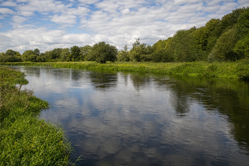 ModerateHale & Woodgreen Walk9.2 km · 2.5 hr · 2.4 km awayA wildlife pond, old drove roads and brief Avon views.
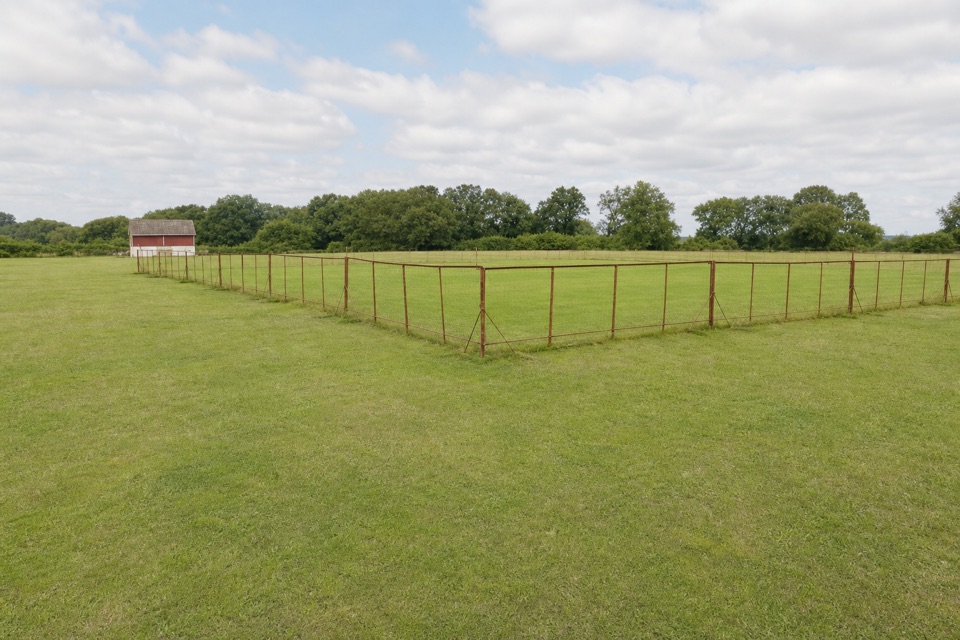 EasyFordingbridge and Godshill Walk5.2 km · 2 hr · 2.7 km awayA field and woodland loop with a stream crossing and frequent stiles.
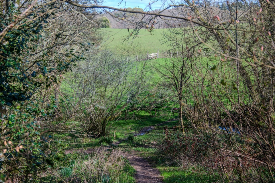 EasyFrankenbury Hill Fort4.2 km · 1.5 hr · 3.1 km awayBeech woods, field paths and an Iron Age fort's wooded edge.
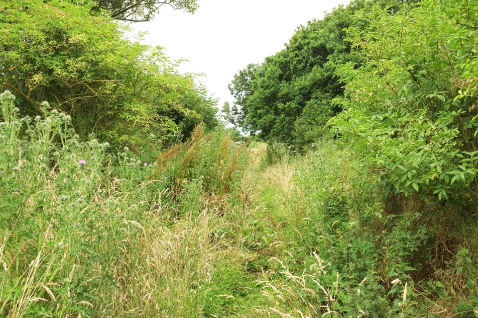 EasyBreamore Railway Line3.2 km · 1 hr · 3.7 km awayFlat old railway path past a station trains left in 1964
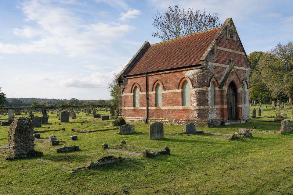 ModerateStuckton Iron Works6 km · 2.5 hr · 5 km awayA quiet valley walk with a surprisingly rowdy industrial past.
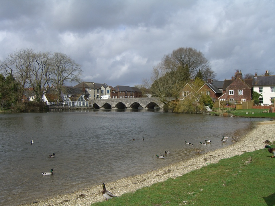 EasyFordingbridge Town Walk3.4 km · 1 hr · 5.3 km awayA gentle circuit along the Avon and through old Fordingbridge.
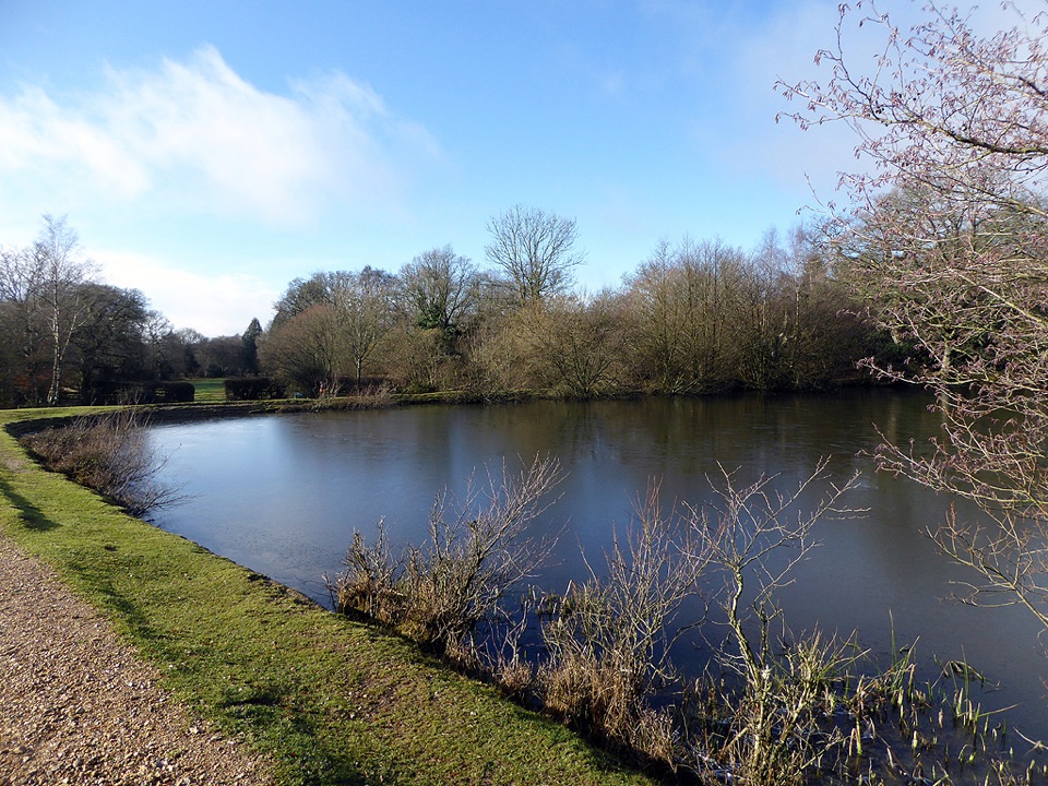 ModeratePipers Wait Loop7.6 km · 2.5 hr · 6.2 km awayA long loop links open heath, Eyeworth Pond and woodland.
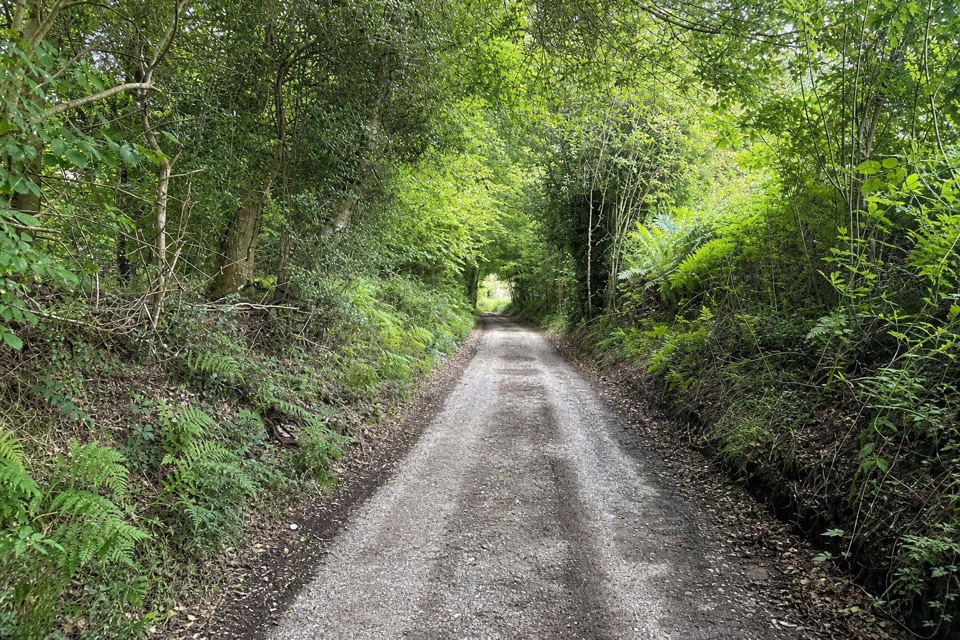 EasyLandford and Hamptworth Walk7.6 km · 2.5 hr · 6.8 km awayOld beech woods, a ford and quiet farm lanes.Sight · 5 km awayEyeworth PondVictorian gunpowder pond ringed by woodland, ponies and singing warblers
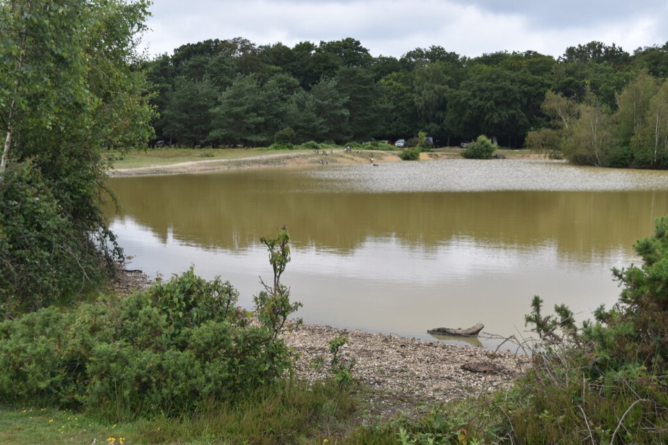 Sight · 6.9 km awayCadman's PoolSmall heath-edge pool with an easy 0.3-mile loop and picnic spots
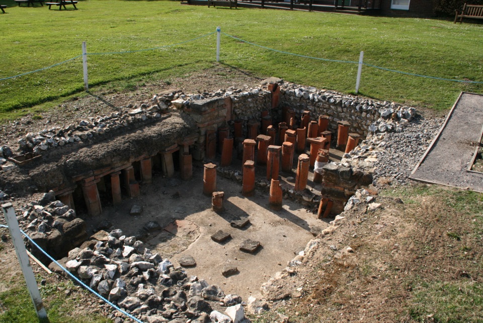 Sight · 6.9 km awayRockbourne Roman VillaRoman mosaics, a hypocaust and a 7,717-coin hoard west of the Forest
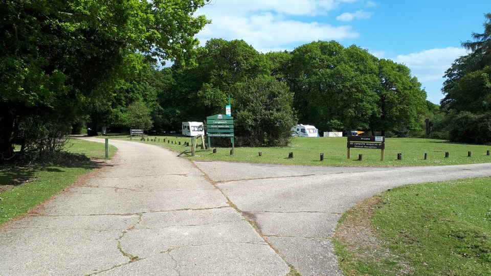 Campground · 8 km awayLongbeech CampsiteAdults-only pitches in ancient beechwoods, bring your own chemical toilet
 Campground · 8.3 km awayOcknell CampsiteSimple heath camping where free-roaming ponies graze past your tent
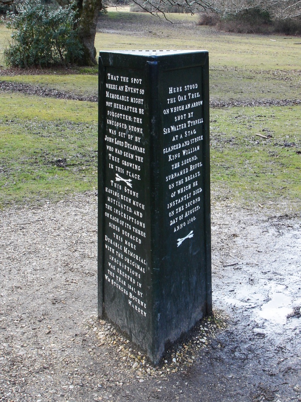 Sight · 9.7 km awayRufus StoneWhere a king reputedly fell, marked by a small iron pillar
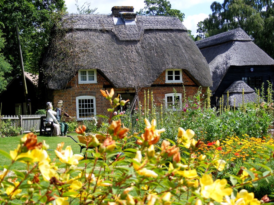 Sight · 10.5 km awayFurzey GardensHillside woodland garden with 40+ fairy doors and a thatched tea room
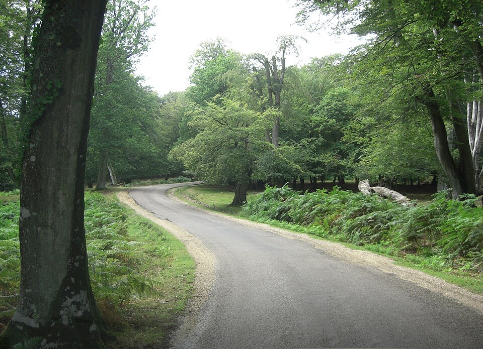 Sight · 10.7 km awayBolderwood ArboretumTowering Douglas firs, waymarked gravel trails and a deer viewing platform
Parkwolf’s New Forest ranking

The audio tour guide for the drive, plus offline maps, trails, and wildlife heatmaps for when the signal drops.