Parking
Start at Woodfalls bus stop near Woodfalls Inn (SP5 2NN). Wiltshire route 44 serves Woodfalls from Salisbury; the route information identifies no dedicated visitor car park.
New Forest National Park, EN
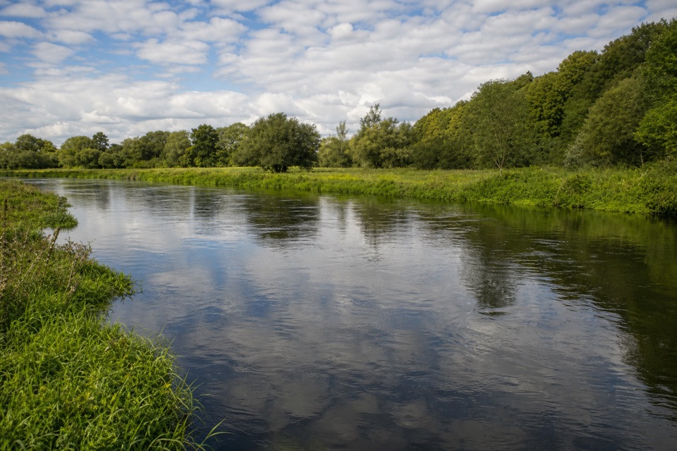
A wildlife pond, old drove roads and brief Avon views.
Overview
Map & elevation
Plan your hike

The highest, rockiest slopes around here are a summer buffet for grizzly bears.
New Forest Tour Guide
Parkwolf is a GPS audio tour guide for New Forest National Park. As you drive, it chimes in with what’s ahead: hidden gems, upcoming stops, history, geology, and wildlife, right through your car’s speakers.
Recorded for this trailhead
Hale and Woodgreen Loop“You're approaching Woodfalls, the start of the Hale and Woodgreen loop along old drove roads, fields and village lanes.”
Plays as you drive up to this trailhead in the Parkwolf New Forest Tour Guide.
More stories near here in the app
“Fantastic app with many points of information… It’s great to just turn on while you’re driving and it gives you an audio tour of the national Park. We love it!!!!”


Trail guide
Hale & Woodgreen is a 5.7-mile (9 km) loop from Woodfalls bus stop and back, through old droveways, farm fields, short woods and village lanes on the New Forest edge. It starts just beyond the park boundary, then enters the Forest after the first stretch. Come for a varied countryside circuit and a look at the villages, not one big summit or waterfall payoff.
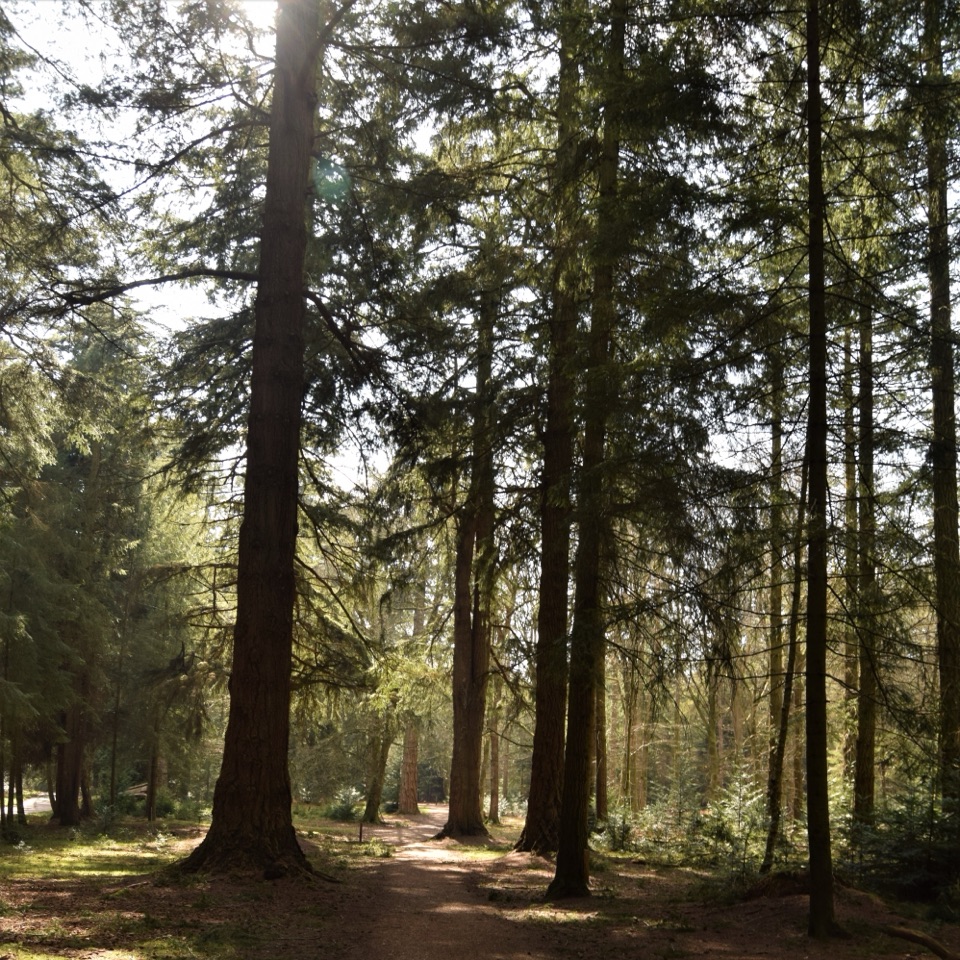
Follow Lodge Drove out of Woodfalls, ignoring the left-hand waymarker at first; that is the return. A gravel track bends through a wide gate and follows the old drove road among trees. After a downhill field and short wood, a wildlife pond sits beside the meadow. In summer, the water can be busy with mayflies and dragonflies. The path climbs past stiles and Hatchett Gate Farm, then turns along Hale Lane and the Avon Valley Path toward St Mary's Church. At Hale House, keep to the footpath about 10 metres north of the drive; the drive is not the route. The lane toward Woodgreen gives brief glimpses of the River Avon through the trees.
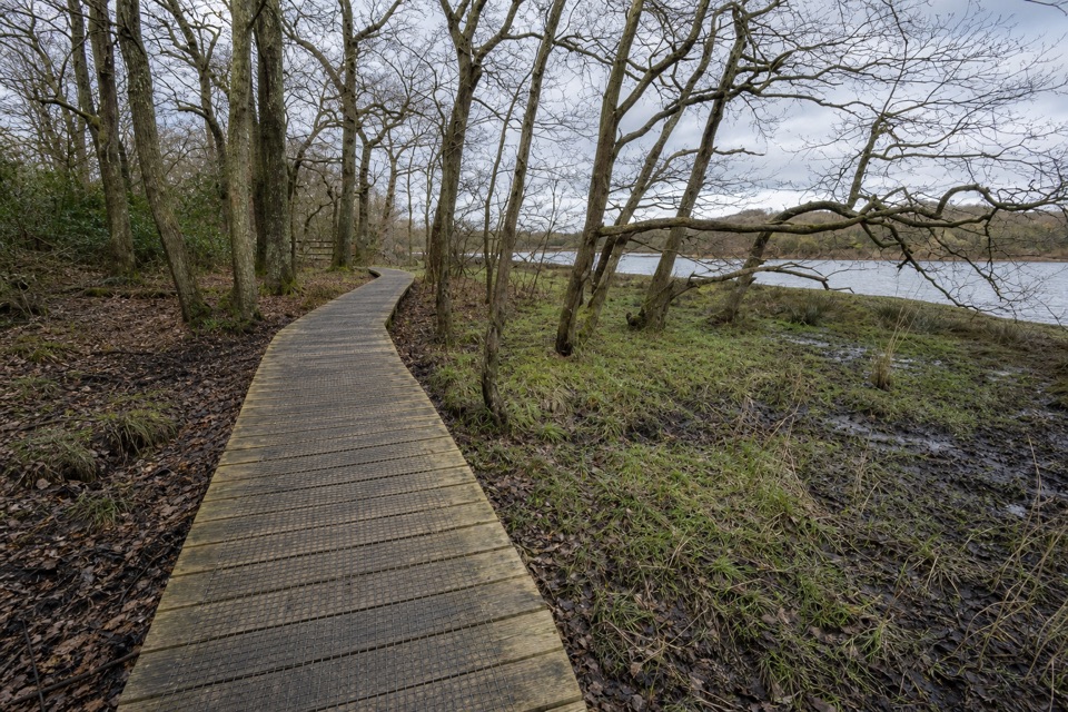
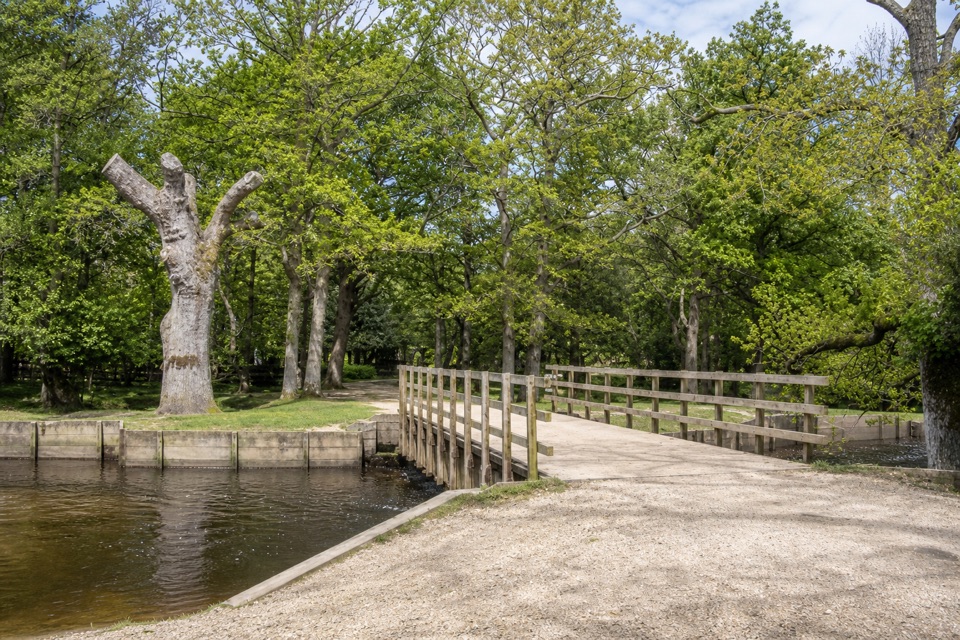
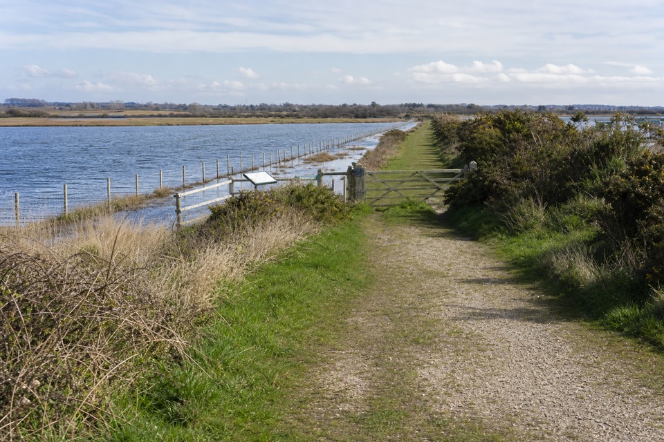
Field-edge walking opens to views across the Avon valley before three more stiles lead to a gravel track down and up to a junction. A short optional detour reaches Woodgreen Village Hall, the Horse and Groom pub and the community shop, then returns to the same junction. The return leaves the Avon Valley Path at a sharp left and crosses a plank bridge before climbing through fields and a rhododendron-lined bridleway in Stricklands Plantation. Near Hale Farm, a shaded track looks across the tree avenue in Hale Park toward Hatchett Lodge, then heads back through Hatchet Green. Several of Hatchet Green’s cob cottages date to the late 18th century and keep their simple long-straw thatch; the green is also a Site of Special Scientific Interest for rare plants and wildlife.
Allow two to three hours. It is moderate, with a few short steep gradients, 12 stiles, gates and one footbridge. Woodland, field and bridleway tracks can be muddy, so this is a poor fit if you need a stile-free or consistently firm route. Start at Woodfalls bus stop near Woodfalls Inn (SP5 2NN); Wiltshire route 44 serves Woodfalls from Salisbury. Dogs are welcome; keep them in sight and under control, and on tracks from March through July to protect nesting birds. The pub and shop are on the optional Woodgreen detour, not directly on the mapped loop.
Wildlife
 28 sightingsRed DeerMost seen around 7 AMSighting map
 10 sightingsWhite-tailed EagleMost seen around 10 AMSighting map
 14 sightingsHarbor SealMost seen around 7 PMSighting map
 176 sightingsEuropean Fallow DeerMost seen around 7 PMSighting map
 93 sightingsWestern Roe DeerMost seen around 7 AMSighting map
 54 sightingsMute SwanMost seen around 6 PMSighting map
Sighting maps show where each species has been reported across New Forest. Wildlife moves, so no sighting is guaranteed.
Keep exploring
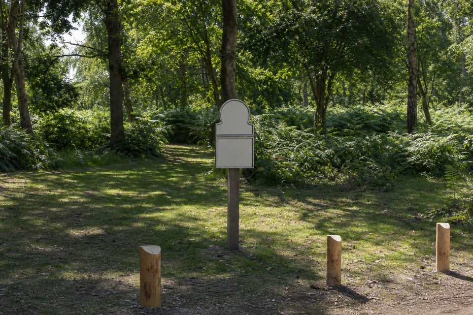 ModerateHale Purlieu Figure of Eight Walk4.8 km · 1.3 hr · 2.4 km awayA three-mile heath loop with stream fords and two linked circuits.
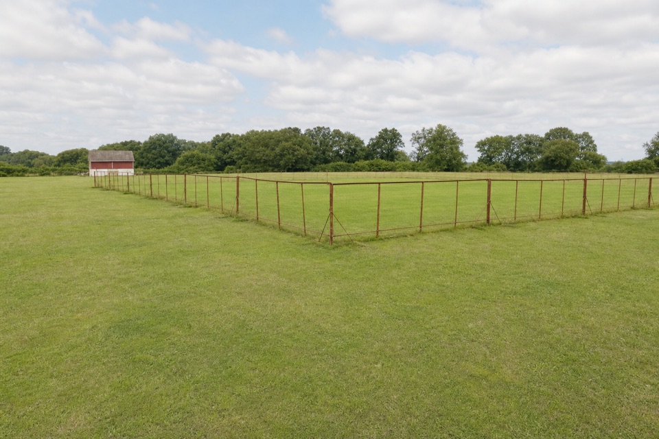 EasyFordingbridge and Godshill Walk5.2 km · 2 hr · 5.1 km awayA field and woodland loop with a stream crossing and frequent stiles.
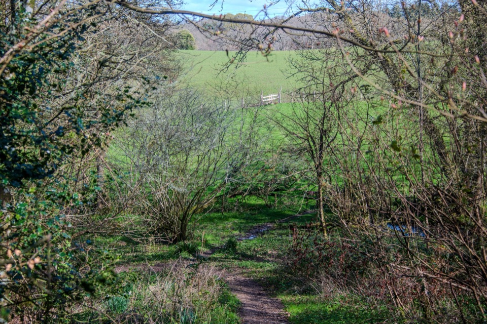 EasyFrankenbury Hill Fort4.2 km · 1.5 hr · 5.4 km awayBeech woods, field paths and an Iron Age fort's wooded edge.
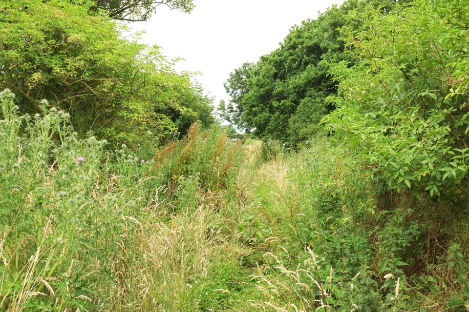 EasyBreamore Railway Line3.2 km · 1 hr · 5.6 km awayFlat old railway path past a station trains left in 1964
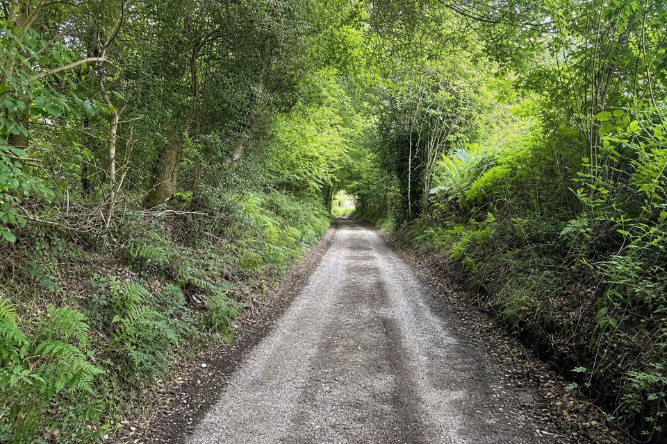 EasyLandford and Hamptworth Walk7.6 km · 2.5 hr · 5.7 km awayOld beech woods, a ford and quiet farm lanes.
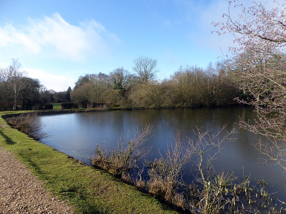 ModeratePipers Wait Loop7.6 km · 2.5 hr · 6.1 km awayA long loop links open heath, Eyeworth Pond and woodland.
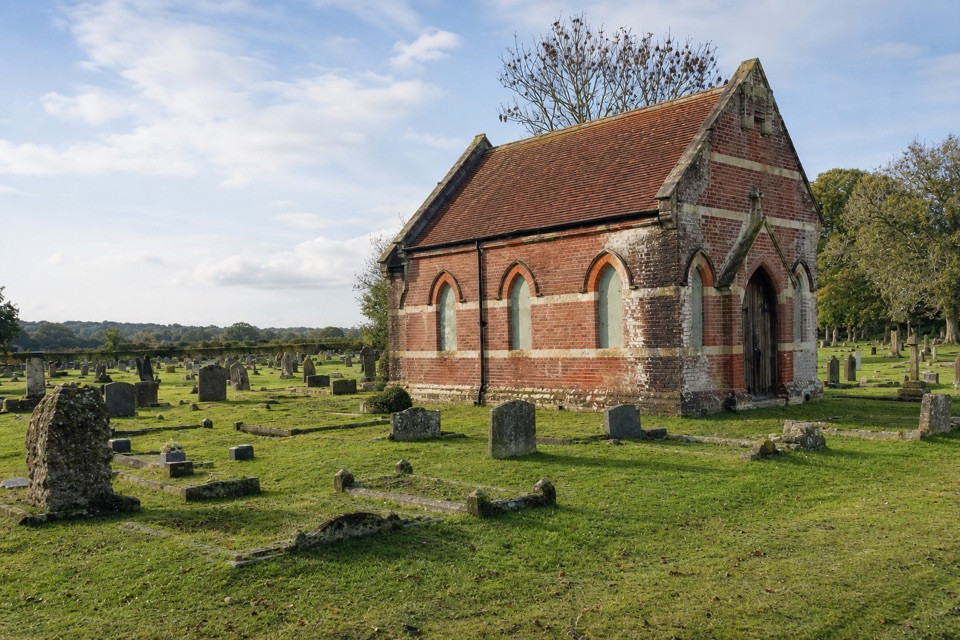 ModerateStuckton Iron Works6 km · 2.5 hr · 7.3 km awayA quiet valley walk with a surprisingly rowdy industrial past.
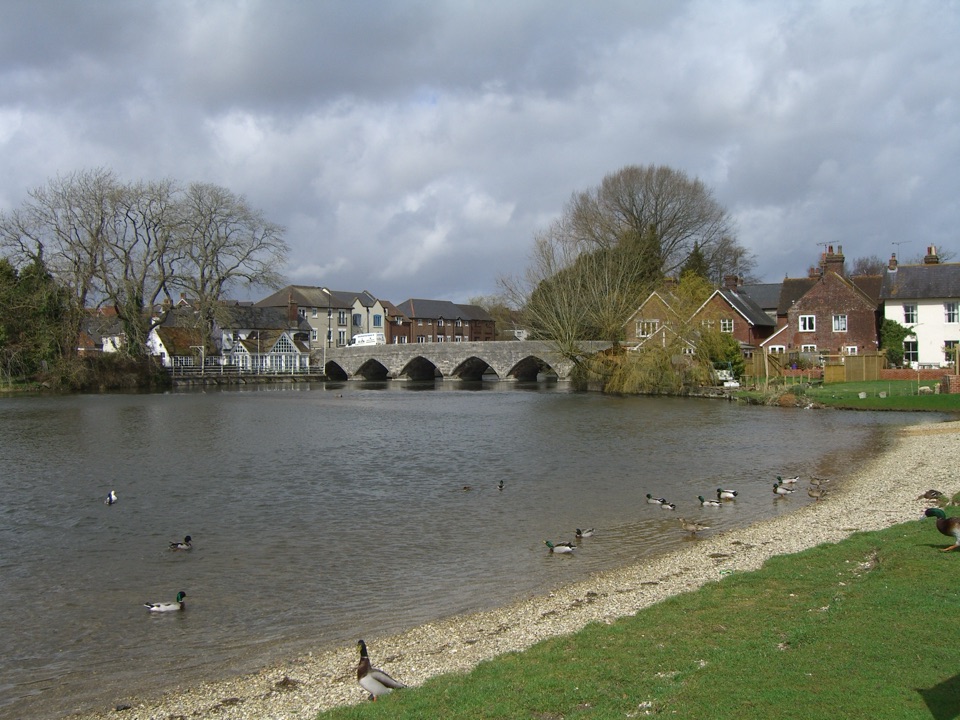 EasyFordingbridge Town Walk3.4 km · 1 hr · 7.5 km awayA gentle circuit along the Avon and through old Fordingbridge.Sight · 6.1 km awayEyeworth PondVictorian gunpowder pond ringed by woodland, ponies and singing warblers
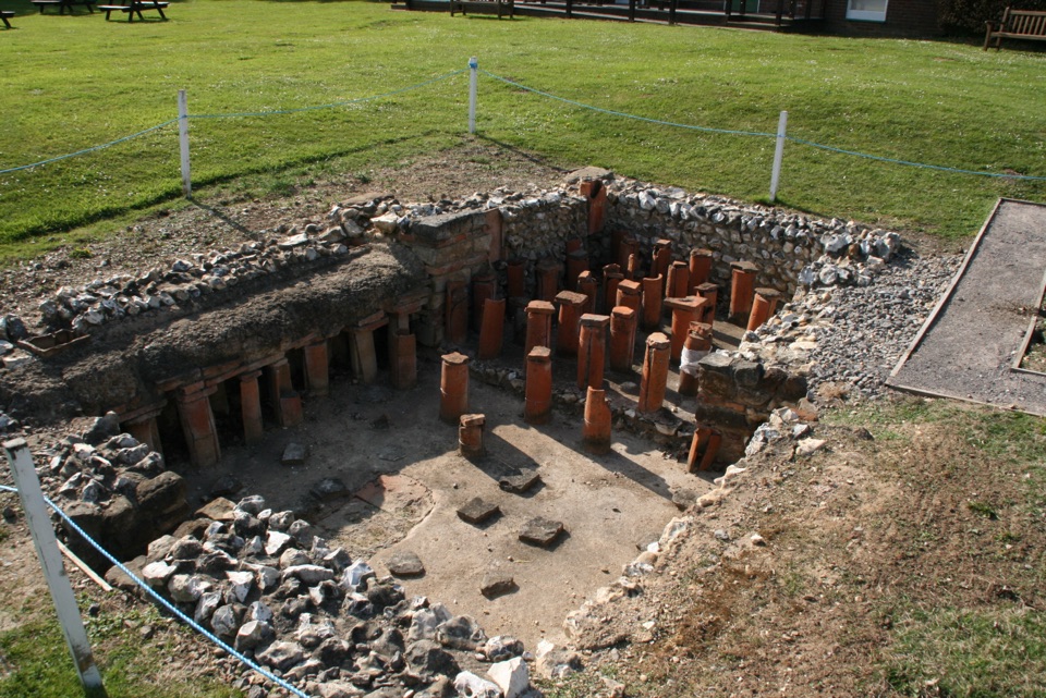 Sight · 8.3 km awayRockbourne Roman VillaRoman mosaics, a hypocaust and a 7,717-coin hoard west of the Forest
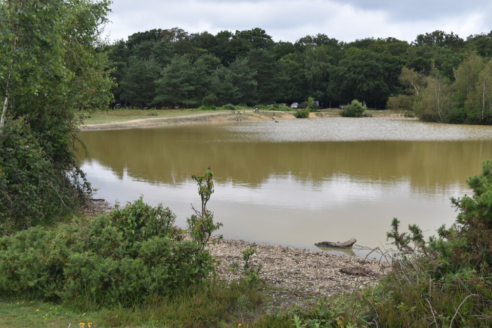 Sight · 8.3 km awayCadman's PoolSmall heath-edge pool with an easy 0.3-mile loop and picnic spots
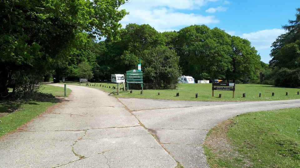 Campground · 8.9 km awayLongbeech CampsiteAdults-only pitches in ancient beechwoods, bring your own chemical toilet
 Campground · 9.4 km awayOcknell CampsiteSimple heath camping where free-roaming ponies graze past your tent
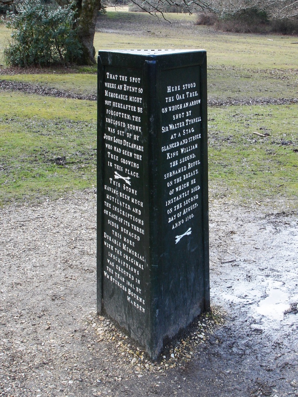 Sight · 10.3 km awayRufus StoneWhere a king reputedly fell, marked by a small iron pillar
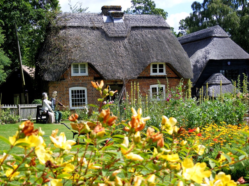 Sight · 11.3 km awayFurzey GardensHillside woodland garden with 40+ fairy doors and a thatched tea room
 Sight · 12.2 km awayPaultons ParkPeppa Pig World, coasters and penguins on the New Forest's edge
Parkwolf’s New Forest ranking

The audio tour guide for the drive, plus offline maps, trails, and wildlife heatmaps for when the signal drops.