Standing Hat Loop in New Forest National Park

New Forest National Park, EN

Standing Hat Loop

A 3.1-mile woodland loop through Pignal Inclosure

Length
5km
Time
1.5hr
Elev. change
32m
Difficulty
Moderate
  • Loop
  • Dogs allowed
  • High point 60 m
  • #27 of 70 in New Forest

Hear the audio tour

Balmer Lawn

Overview

About Standing Hat Loop

Why go

  • A contained 90-minute circuit through Pignal Inclosure
  • Dogs are allowed on the loop

Heads up

  • Several similar forest-track junctions need the route map

Map & elevation

The route

Loading the New Forest map
Full map
Elevation28–60 m
TrailheadStanding Hat Inclosure Car Park50.83126, -1.55446
Keep this map with you offline in the Parkwolf app

Plan your hike

Before you go

Parking

Standing Hat Inclosure Car Park (SO42 7QJ) is at the end of Tilery Road; reach Tilery Road from the B3055 just beyond Balmer Lawn Hotel. Forestry England lists 20 spaces, no accessible bays or toilets, and seasonal opening from Easter to October. Parking charges apply.


Safety

The circuit makes several turns through intersecting forest tracks; follow the numbered route map at each junction.

1 active New Forest alert

  • CautionNew Forest outdoor-fire restrictionDo not use BBQs, campfires, stoves, outdoor camping equipment or other naked flames on the open Forest.Official details
New Forest alerts
A park ranger sits on a dash-mounted phone, talking, as Parkwolf’s Tour Guide plays “Army Cutworm Moths: A Grizzly Bear Buffet” on Grand Loop Road below Dunraven Pass in Yellowstone
Parkwolf Tour GuideThe highest, rockiest slopes around here are a summer buffet for grizzly bears.

New Forest Tour Guide

Your drive to Standing Hat Loop, narrated.

Parkwolf is a GPS audio tour guide for New Forest National Park. As you drive, it chimes in with what’s ahead: hidden gems, upcoming stops, history, geology, and wildlife, right through your car’s speakers.

Recorded for this area

Balmer Lawn
0:00 / 0:22
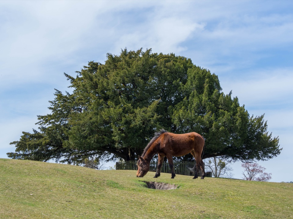
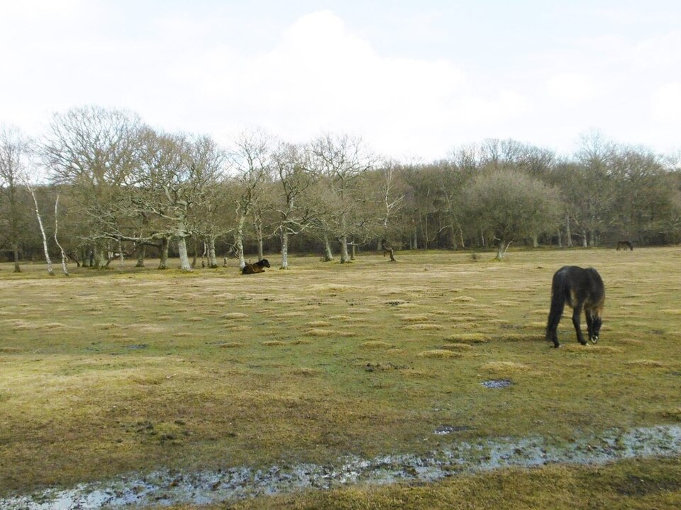
“You're approaching Balmer Lawn, a broad grazing meadow beside the Lymington River. It's a good picnic stop for watching ponies at a distance.”

Plays on the road 0.8 km from the trailhead in the Parkwolf New Forest Tour Guide.

More stories near here in the app

  • The Acorn Planter
  • Brockenhurst Village and St Nicholas' Church
  • The Forest on the Bark
  • Brockenhurst the Hospital Village
  • 283 audio storiesacross New Forest’s roads, triggered by GPS as you drive
  • Wildlife heatmapsfor Red Deer, White-tailed Eagle, Harbor Seal, and 13 more
  • Works offlinemaps, 70 trails, 48 places, and audio download before you lose signal
  • CarPlay readysimple controls built for the drive
★★★★★
“Fantastic app with many points of information… It’s great to just turn on while you’re driving and it gives you an audio tour of the national Park. We love it!!!!”
JMJamesApp Store review
Download Parkwolf on the App StoreGet Parkwolf on Google Play

4.7 from 8,600+ ratings

Trail guide

Hiking Standing Hat Loop

The loopStanding Hat Loop is a 3.

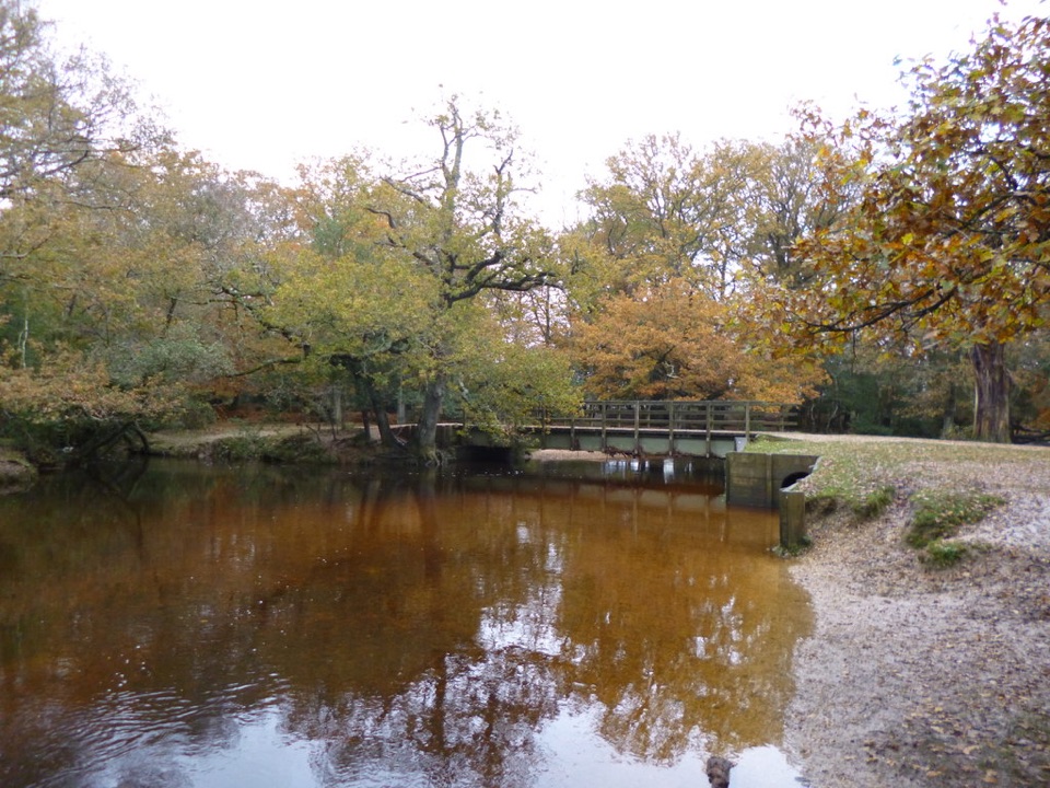
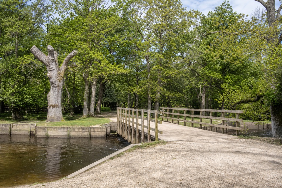
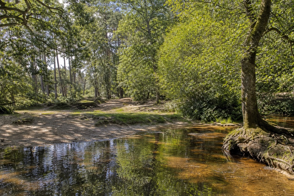
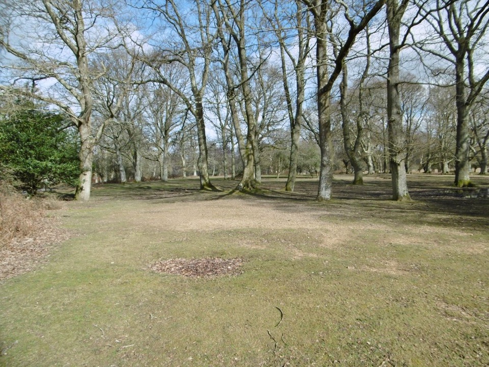
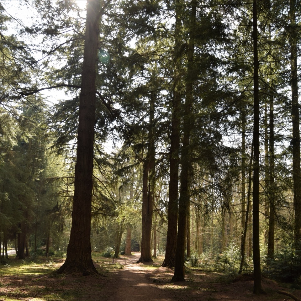
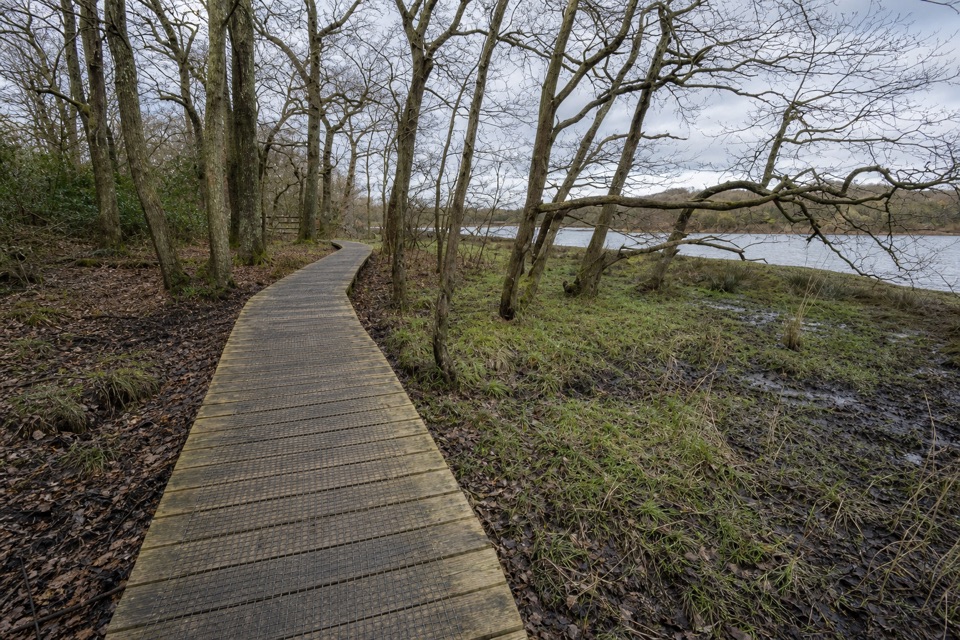
Standing Hat Loop is a 3.1-mile (5 km) circuit from Standing Hat Inclosure Car Park through Pignal Inclosure on forest tracks. Allow about 1½ hours. It is a moderate woodland walk, not a summit climb, and the loop returns to the same car park.

On the tracksFrom the entrance, the route heads north into the trees, then follows a succession of forest…

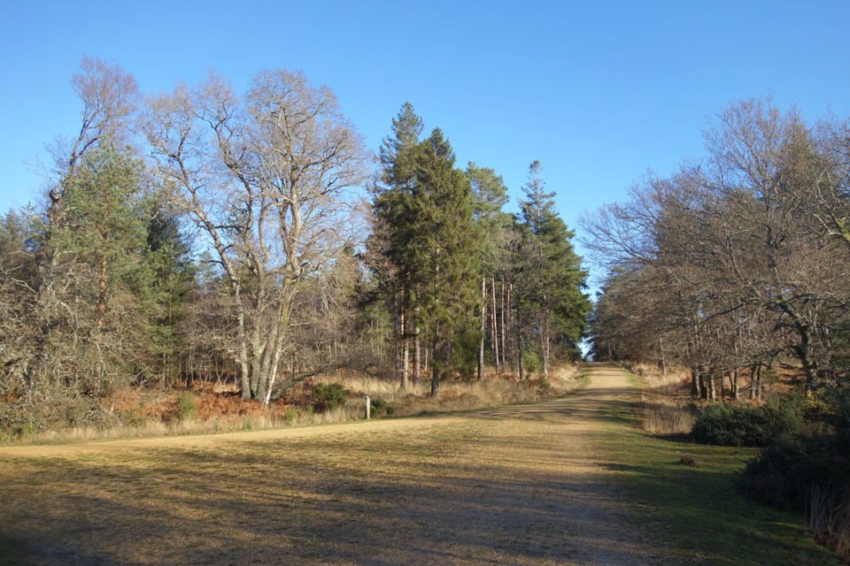
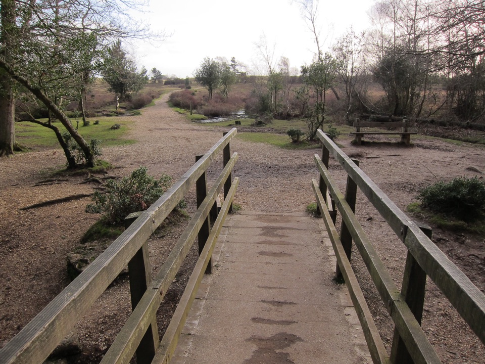
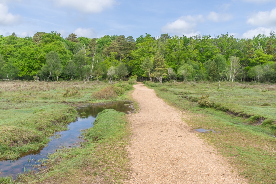
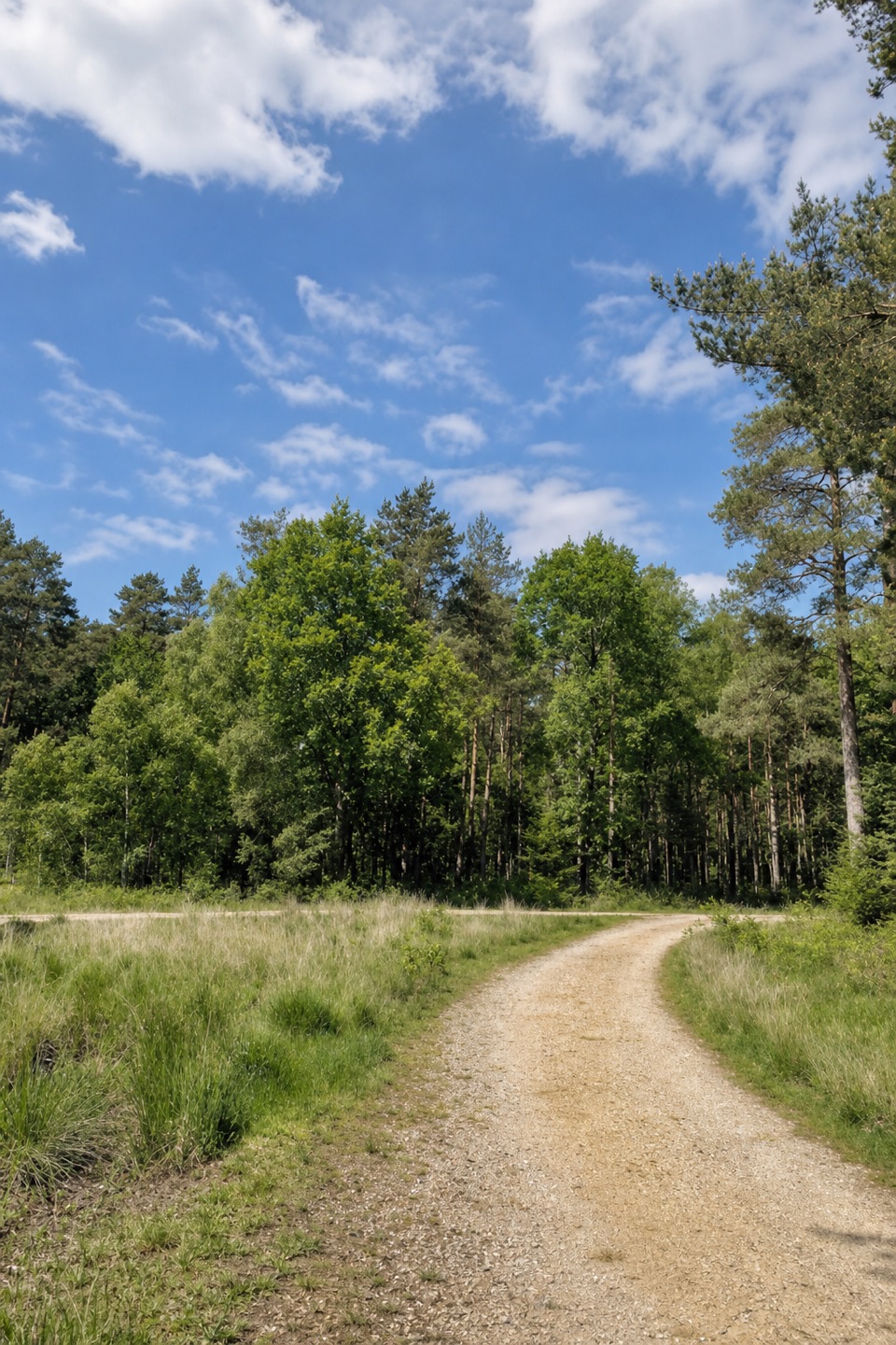
From the entrance, the route heads north into the trees, then follows a succession of forest tracks before bending east and south to Standing Hat. Most of the line follows broad gravel tracks, with short connectors whose surface is not marked. The map gives several left and right turns, so use its numbered directions at each branch; longer walks carrying the same Standing Hat name take different routes. The low woodland circuit is gently undulating, and the main challenge is keeping to the intended loop through intersecting tracks.

Access and dogsStanding Hat Inclosure Car Park sits at the end of Tilery Road.

Standing Hat Inclosure Car Park sits at the end of Tilery Road. It has 20 spaces, no accessible bays or toilets, and seasonal opening from Easter to October. New Forest car parking is chargeable. Dogs are allowed on the loop. The 3.1 miles starts at Standing Hat; starting elsewhere adds an access walk.

Wildlife

Wildlife in New Forest

All New Forest wildlife maps

Sighting maps show where each species has been reported across New Forest. Wildlife moves, so no sighting is guaranteed.

Keep exploring

Near Standing Hat Loop

See it all on the map

Trails that start nearby

Places near the trailhead

Parkwolf’s New Forest ranking

Top-rated trails in New Forest

All 70 trails
  1. 1Tall Trees Trail at BlackwaterEasy · 2.3 km
  2. 2Beaulieu to Buckler’s Hard WalkEasy · 3.6 km
  3. 3Brockenhurst Village LoopEasy · 8 km
  4. 4Solent WayModerate · 96.6 km
  5. 5Lymington Marshes Rail TrailEasy · 6 km
  6. 6Keyhaven to Hurst CastleModerate · 7.2 km

Take Parkwolf to New Forest.

The audio tour guide for the drive, plus offline maps, trails, and wildlife heatmaps for when the signal drops.

4.7 from 8,600+ ratings

Download Parkwolf on the App StoreGet Parkwolf on Google Play