Big Branch Falls in New River Gorge National Park

Sight · New River Gorge National Park

Big Branch Falls

A waterfall hike with spring flowers and a story in the hollow.

Photo: National Park Service
Type
Sight
Nearest trail
0.6 mi
Audio stories
8 nearby
  • Trailhead
  • Parking
  • Restrooms

Hear the audio tour

Brooks Falls: A Quick River Stop

Overview

About Big Branch Falls

Why stop

  • Several wooded cascades along one creekside trail.

Heads up

  • The full loop has slippery stream crossings and a steep section beyond the falls.

Map

Where it is

Loading the New River Gorge map
Full map
SightBig Branch Falls37.71388, -80.90314
Keep this map with you offline in the Parkwolf app

Plan your stop

Before you go

5 active New River Gorge alerts

  • ClosureRend and Church Loop trails closedRend Trail is closed from both trailheads through approximately December 2027; Church Loop Trail is also closed because its only access is from Rend.Official details
  • ClosureKaymoor Miners Trail weekday closureThe upper Kaymoor Miners Trail is closed Monday–Thursday through November 19 for trail rehabilitation.Official details
See all 5 alerts
A park ranger sits on a dash-mounted phone, talking, as Parkwolf’s Tour Guide plays “Army Cutworm Moths: A Grizzly Bear Buffet” on Grand Loop Road below Dunraven Pass in Yellowstone
Parkwolf Tour GuideThe highest, rockiest slopes around here are a summer buffet for grizzly bears.

New River Gorge Tour Guide

Your drive to Big Branch Falls, narrated.

Parkwolf is a GPS audio tour guide for New River Gorge National Park. As you drive, it chimes in with what’s ahead: hidden gems, upcoming stops, history, geology, and wildlife, right through your car’s speakers.

See the New River Gorge audio tour

Recorded for this place

Brooks Falls: A Quick River Stop
0:00 / 0:31
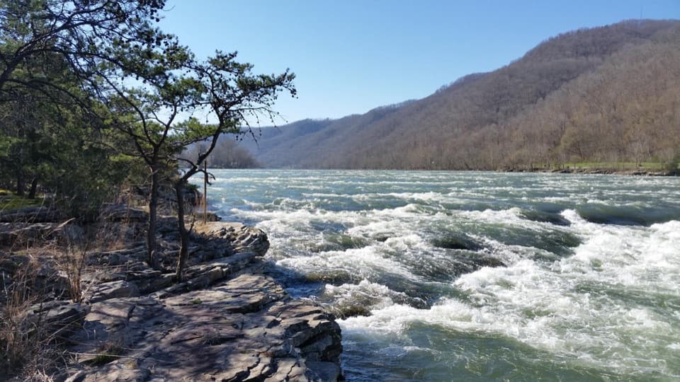
“You're approaching Brooks Falls Roadside Park, a quick river-view stop with picnic tables beside a broad stretch of whitewater.”

Plays as you drive up to Big Branch Falls in the Parkwolf New River Gorge Tour Guide.

More stories near here in the app

  • One Pawpaw, Many Trunks
  • The Caterpillar’s False Eyes
  • When Berry Holler Was a Farm
  • Brooks Island and the Eagles
  • 92 audio storiesacross New River Gorge’s roads, triggered by GPS as you drive
  • Wildlife heatmapsfor Black Bear, White-tailed Deer, Pileated Woodpecker, and 13 more
  • Works offlinemaps, 49 trails, 55 places, and audio download before you lose signal
  • CarPlay readysimple controls built for the drive
★★★★★
“Fantastic app with many points of information… It’s great to just turn on while you’re driving and it gives you an audio tour of the national Park. We love it!!!!”
JMJamesApp Store review
Download Parkwolf on the App StoreGet Parkwolf on Google Play

4.7 from 8,600+ ratings

Guide

More about Big Branch Falls

A short hike to the fallsBig Branch Falls is the largest cascade on Big Branch Creek, a wooded feeder stream of the New…

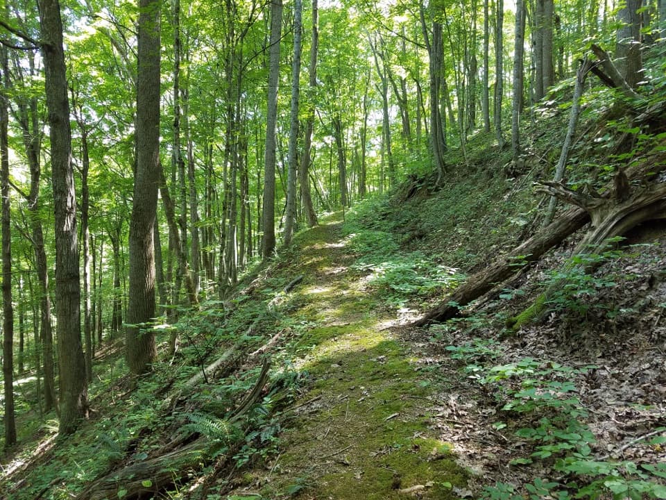
Big Branch Falls is the largest cascade on Big Branch Creek, a wooded feeder stream of the New River. It’s a hike-in waterfall, not a roadside view. Follow Big Branch Trail clockwise 0.7 mile to the falls; turning back there makes a 1.4-mile out-and-back and skips the steeper, more strenuous part of the two-mile loop. The full loop has three rocky stream crossings, where the stones can be slippery. The falls isn’t wheelchair-accessible.

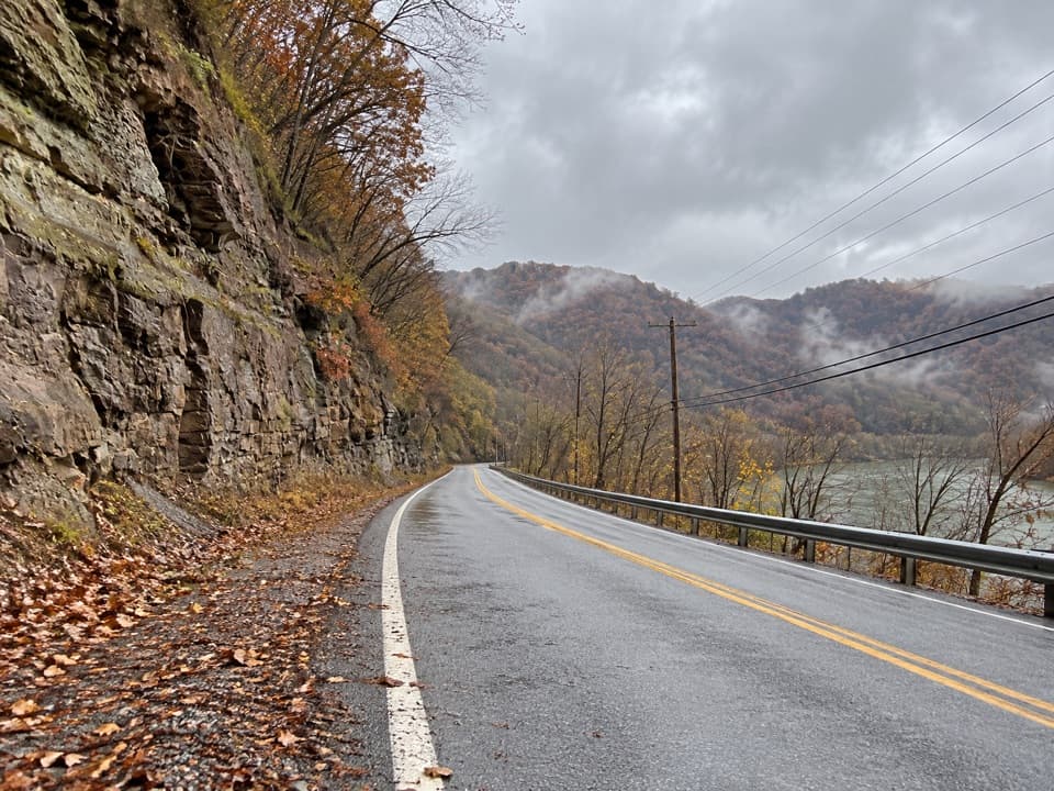
Park at Brooks Falls Overlook and cross River Road to the trailhead. The road is narrow, with single-lane sections. A vault toilet serves the trailhead area; the falls are reached on foot.

A string of wooded cascadesBig Branch Creek drops over several ledges along the trail, with the largest fall stepping…

Big Branch Creek drops over several ledges along the trail, with the largest fall stepping across sandstone. For a photo, keep the upper drop and the lower creek run together in the frame so the stepped shape reads as one connected cascade.

The rock under the creekLayers of shale, limestone and sandstone make the creek’s stair-step falls.

Layers of shale, limestone and sandstone make the creek’s stair-step falls. The local bedrock belongs to the Mauch Chunk formation, much of it laid down about 345 to 320 million years ago. Red shale gets its color from iron in the exposed sediment that oxidized into hematite.

A farm hollow beside the trailBig Branch Trail follows an old wagon road through a hollow once used for pasture, hayfields…

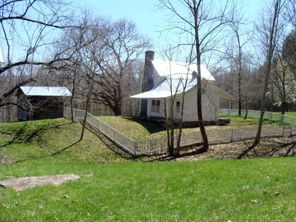
Big Branch Trail follows an old wagon road through a hollow once used for pasture, hayfields and crops. Remains of the Berry family farm and grist mill still lie near the route, including barn logs, a stone wall, foundation pillars and a root-cellar opening.

Bertha Huffman grew up here and left when she married in 1945. Her father, Daniel Berry, walked five miles each day to work at the New River Lumber Company mill at Longbottom. The family still had no car, electricity, running water or telephone into the 1940s.

Early spring flowersBefore the forest canopy fills in, the southern part of the park is known for its spring…

Before the forest canopy fills in, the southern part of the park is known for its spring flowers. The show usually runs from late March into late April: look for trout lilies, spring beauties, toothwort, bloodroot and trillium, with Virginia bluebells around the old farmhouse ruins.

Wildlife

Wildlife in New River Gorge

All New River Gorge wildlife maps

Sighting maps show where each species has been reported across New River Gorge. Wildlife moves, so no sighting is guaranteed.

Parkwolf’s New River Gorge ranking

Top sights in New River Gorge

All 55 places
  1. 1New River Gorge BridgeSight
  2. 2Sandstone FallsSight
  3. 3Grandview Main OverlookSight
  4. 4Diamond Point OverlookSight
  5. 5Long Point OverlookSight
  6. 6Nuttallburg Historic SiteSight

Take Parkwolf to New River Gorge.

The audio tour guide for the drive, plus offline maps, trails, and wildlife heatmaps for when the signal drops.

4.7 from 8,600+ ratings

Download Parkwolf on the App StoreGet Parkwolf on Google Play