Sandstone Falls Boardwalk in New River Gorge National Park

#4 of 49 trails in New River Gorge

New River Gorge National Park, WV

Sandstone Falls Boardwalk

A wide, low waterfall reached by bridges and an accessible boardwalk.

Photo: Public Domain
Length
0.5mi
Time
30min
Elevation
Flat
Difficulty
Easy
  • Dogs allowed
  • High point 1,295 ft

Hear the audio tour

Sandstone Falls and the Islands

Overview

About Sandstone Falls Boardwalk

Why go

  • Broad views of the island-divided falls
  • Short accessible boardwalk with several decks

Heads up

  • Narrow, single-lane approach road
  • The return follows the same boardwalk

Map & elevation

The route

Loading the New River Gorge map
Full map
Elevation1,277–1,295 ft
TrailheadSandstone Falls parking area37.75957, -80.90519
Keep this map with you offline in the Parkwolf app

Plan your hike

Before you go

Parking

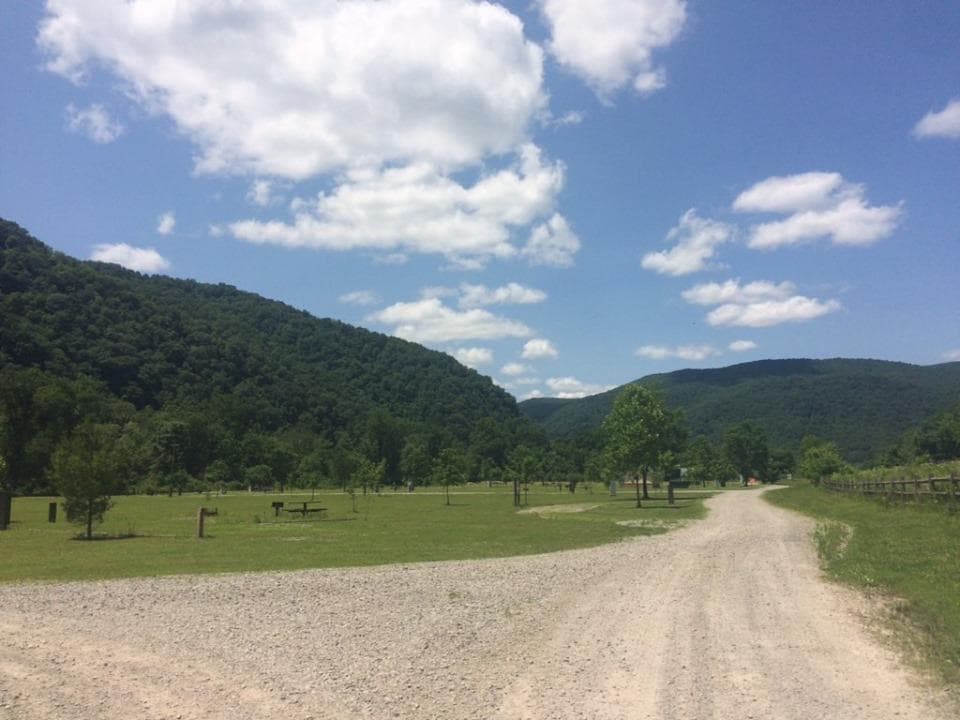
From the west end of the WV 20 bridge in Hinton, follow River Road (WV 26) along the river for about nine miles. The unpaved parking area is on the right; the road is narrow and single-lane in places. A vault or composting toilet is listed at the trailhead.

Safety

There is no drinking water at the trailhead. The accessible designation does not include published grade or equipment-clearance details.
5 active New River Gorge alerts

  • ClosureRend and Church Loop trails closedRend Trail is closed from both trailheads through approximately December 2027; Church Loop Trail is also closed because its only access is from Rend.Official details
  • ClosureKaymoor Miners Trail weekday closureThe upper Kaymoor Miners Trail is closed Monday–Thursday through November 19 for trail rehabilitation.Official details
See all 5 alerts
A park ranger sits on a dash-mounted phone, talking, as Parkwolf’s Tour Guide plays “Army Cutworm Moths: A Grizzly Bear Buffet” on Grand Loop Road below Dunraven Pass in Yellowstone
Parkwolf Tour GuideThe highest, rockiest slopes around here are a summer buffet for grizzly bears.

New River Gorge Tour Guide

Your drive to Sandstone Falls Boardwalk, narrated.

Parkwolf is a GPS audio tour guide for New River Gorge National Park. As you drive, it chimes in with what’s ahead: hidden gems, upcoming stops, history, geology, and wildlife, right through your car’s speakers.

See the New River Gorge audio tour

Recorded for this trailhead

Sandstone Falls and the Islands
0:00 / 0:34
“Sandstone Falls is coming up, where the New River spreads into cascades across roughly fifteen hundred feet.”

Plays as you drive up to this trailhead in the Parkwolf New River Gorge Tour Guide.

More stories near here in the app

  • Sandstone Falls from Above
  • Where the New River Goes
  • The Woodpecker’s Rectangles
  • Following the Rivers Home
  • 92 audio storiesacross New River Gorge’s roads, triggered by GPS as you drive
  • Wildlife heatmapsfor Black Bear, White-tailed Deer, Pileated Woodpecker, and 13 more
  • Works offlinemaps, 49 trails, 55 places, and audio download before you lose signal
  • CarPlay readysimple controls built for the drive
★★★★★
“Fantastic app with many points of information… It’s great to just turn on while you’re driving and it gives you an audio tour of the national Park. We love it!!!!”
JMJamesApp Store review
Download Parkwolf on the App StoreGet Parkwolf on Google Play

4.7 from 8,600+ ratings

Trail guide

Hiking Sandstone Falls Boardwalk

A short walk to the fallsSandstone Falls Boardwalk is an easy, accessible wooden walkway from the riverside parking area…

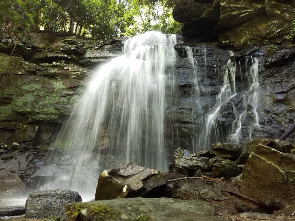
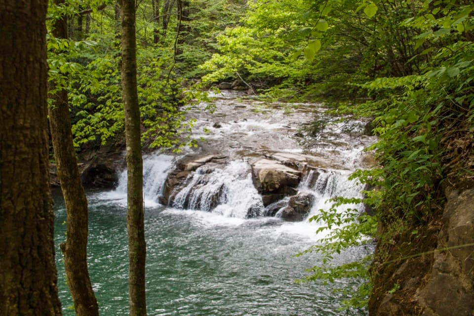
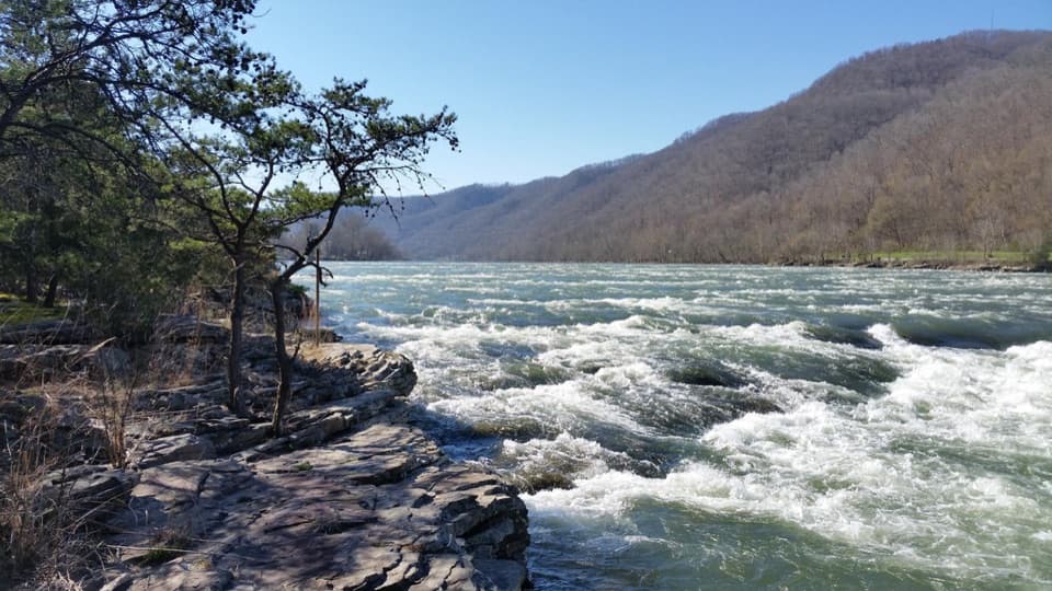
Sandstone Falls Boardwalk is an easy, accessible wooden walkway from the riverside parking area to island observation decks on the New River. Walk about 0.23 mile to the falls and return on the same path for a 0.46-mile out-and-back; allow about 30 minutes with time at the overlooks. The falls spread across roughly 1,500 feet, broken by islands, with drops of about 10 to 25 feet. The payoff is the broad, changing view rather than a tall plunge.

Bridges and river accessThe boardwalk crosses two bridges to the islands, with several viewpoints and access to fishing…

The boardwalk crosses two bridges to the islands, with several viewpoints and access to fishing areas. It is listed as accessible, though exact grades and equipment clearances are not published. The trailhead has an unpaved parking area and a vault or composting toilet. Dogs are allowed on park trails on a physical leash no longer than six feet. There is no drinking water at trailheads, so bring what you need for people and pets.

Flatrock and a longer optionThe route passes through an Appalachian riverside flatrock plant community found at only a few…

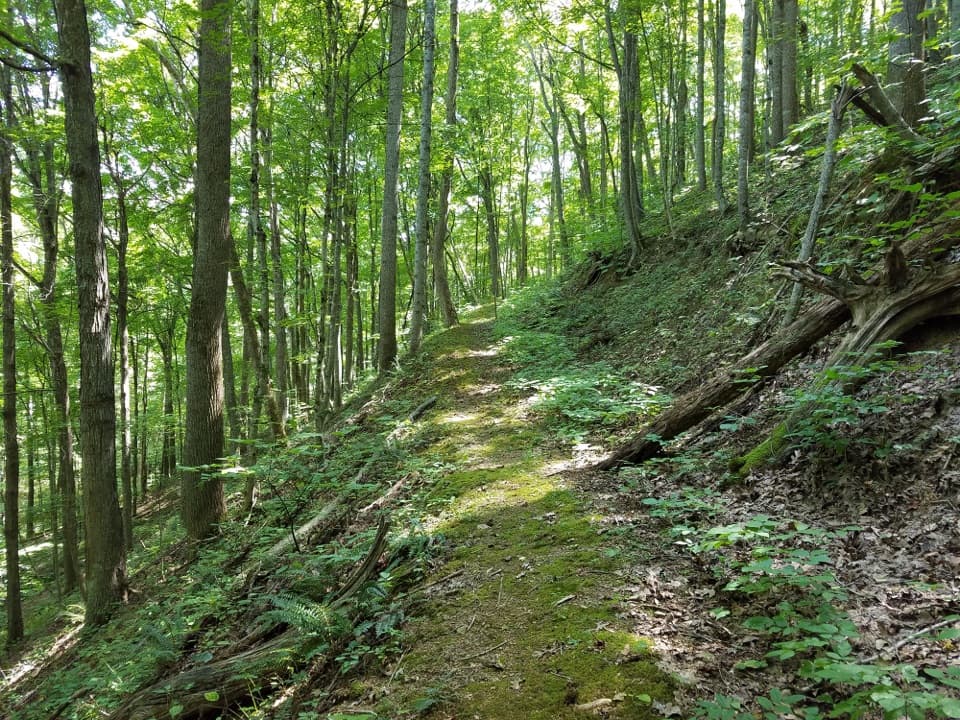
The route passes through an Appalachian riverside flatrock plant community found at only a few high-energy rivers in the region; some of its plants occur nowhere else in New River Gorge. From the last deck, include the river in the foreground to show how far the low falls stretch. If you want a longer walk, the separate 0.5-mile Island Loop Trail circles the largest island. That land was once farmed, grazed and timbered, and a grist mill operated there; old fields are gradually returning to forest.

Wildlife

Wildlife in New River Gorge

All New River Gorge wildlife maps

Sighting maps show where each species has been reported across New River Gorge. Wildlife moves, so no sighting is guaranteed.

Keep exploring

Near Sandstone Falls Boardwalk

See it all on the map

Trails that start nearby

Places near the trailhead

Parkwolf’s New River Gorge ranking

Top-rated trails in New River Gorge

All 49 trails
  1. 1Endless Wall TrailModerate · 2.4 mi
  2. 2Long Point TrailModerate · 3.2 mi
  3. 3Grandview Rim TrailModerate · 3.2 mi
  4. 5Castle Rock TrailChallenging · 0.6 mi
  5. 6Grandview Rim LoopModerate · 3 mi
  6. 7Kaymoor Miners TrailChallenging · 2 mi

Take Parkwolf to New River Gorge.

The audio tour guide for the drive, plus offline maps, trails, and wildlife heatmaps for when the signal drops.

4.7 from 8,600+ ratings

Download Parkwolf on the App StoreGet Parkwolf on Google Play