Parking
Park at Brooks Falls Overlook on River Road (WV 26), then cross the road to the Big Branch Trailhead. From the west end of the WV 20 bridge in Hinton, follow River Road north about five miles. The road is narrow and single-lane in sections.

New River Gorge National Park, WV
A strenuous loop through cascades, farmstead ruins, and gorge views.
Overview
Map & elevation
Plan your hike

The highest, rockiest slopes around here are a summer buffet for grizzly bears.
New River Gorge Tour Guide
Parkwolf is a GPS audio tour guide for New River Gorge National Park. As you drive, it chimes in with what’s ahead: hidden gems, upcoming stops, history, geology, and wildlife, right through your car’s speakers.
See the New River Gorge audio tourRecorded for this trailhead
Brooks Falls: A Quick River Stop“You're approaching Brooks Falls Roadside Park, a quick river-view stop with picnic tables beside a broad stretch of whitewater.”
Plays as you drive up to this trailhead in the Parkwolf New River Gorge Tour Guide.
More stories near here in the app
“Fantastic app with many points of information… It’s great to just turn on while you’re driving and it gives you an audio tour of the national Park. We love it!!!!”


Trail guide
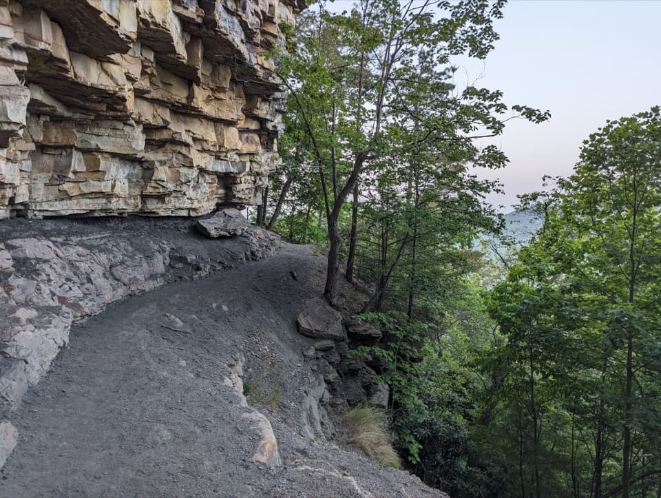
Big Branch Trail is a strenuous 2-mile loop from Brooks Falls. It climbs beside Big Branch through a shaded hollow, passes cascades and old farmstead remains, reaches a wooded ridge with glimpses of the New River, then drops steeply toward the start. Allow about 1½–2 hours; rocky footing and several creek crossings make the short mileage feel bigger.
The park’s route description sends hikers up the left, or south, branch alongside the creek. The crossings are rocky and can be slippery; wear grippy shoes, and poles may help. Crossing counts vary by direction and exact line, so expect several rather than a fixed number. High water after heavy rain can make fords unsafe. The cascades are most rewarding when there has been enough rain; flow can dwindle in midsummer.
This wooded ravine was once pasture and hayfield. The trail follows an old wagon road past the Berry family’s house site, barn remnants, a stone wall, and a roofless root cellar. Bertha Huffman, who grew up here and left after marrying in 1945, called it Berry Holler; her memories are part of the park’s oral-history collection.
Big Branch steps over rocky ledges into a series of small falls. Their flow changes with rainfall, so expect a chain of cascades along the stream rather than one guaranteed waterfall. Early spring is a good time for trout lilies, spring beauties, toothwort, and bloodroot; iris and daffodils persist near the homestead site.
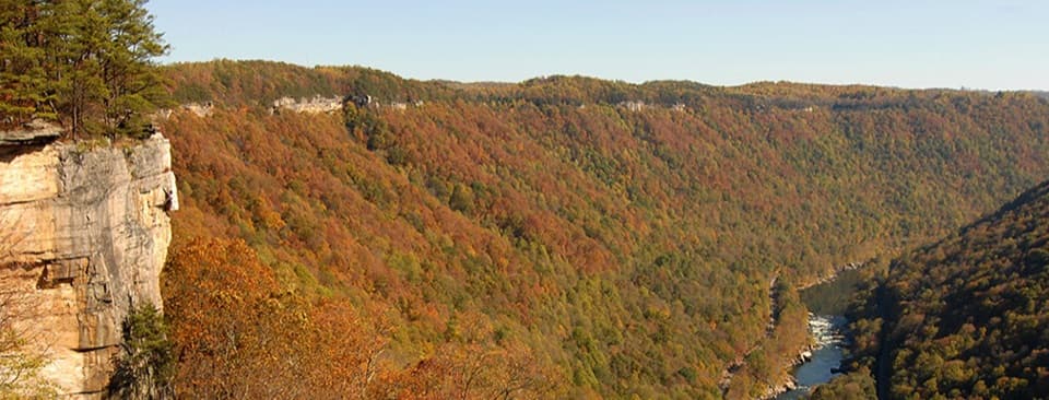
Above the creek, the trail climbs to the ridge for a few tree-framed views of the gorge and river. The return drops very steeply toward the trailhead, with glimpses of Brooks Falls through the trees. Brooks Falls is the river overlook by the parking area; it is separate from the smaller cascades along Big Branch.
Park at Brooks Falls Overlook on River Road (WV 26), then cross the road to the signed trailhead. From the west end of the WV 20 bridge in Hinton, the approach is about five miles north; River Road is narrow and single-lane in places. A vault toilet is at the parking area, but there is no drinking water at trailheads. Dogs are allowed on a physical leash no longer than six feet. Bring your own water.
Wildlife
 18 sightingsBlack BearMost seen around 7 PMSighting map
 126 sightingsWhite-tailed DeerMost seen around 6 AMSighting map
 25 sightingsPileated WoodpeckerMost seen around 8 AMSighting map
 15 sightingsBarred OwlMost seen around 7 PMSighting map
 14 sightingsWild TurkeyMost seen around 6 AMSighting map
 58 sightingsCopperheadMost seen around 7 PMSighting map
Sighting maps show where each species has been reported across New River Gorge. Wildlife moves, so no sighting is guaranteed.
Keep exploring
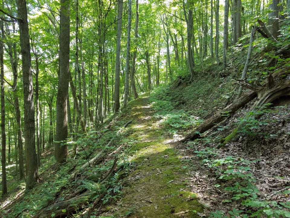 ModerateGwinn Ridge Trail3 mi · 1.8 hr · 2.2 mi awayA wooded 3-mile ridge loop with occasional winter views.
 ModerateSandstone Falls Overlook0.2 mi · 15 min · 2.5 mi awayA quick gravel walk to a high view of Sandstone Falls.
 EasyIsland Loop Trail0.7 mi · 30 min · 2.9 mi awayA short island loop from river views into returning forest.
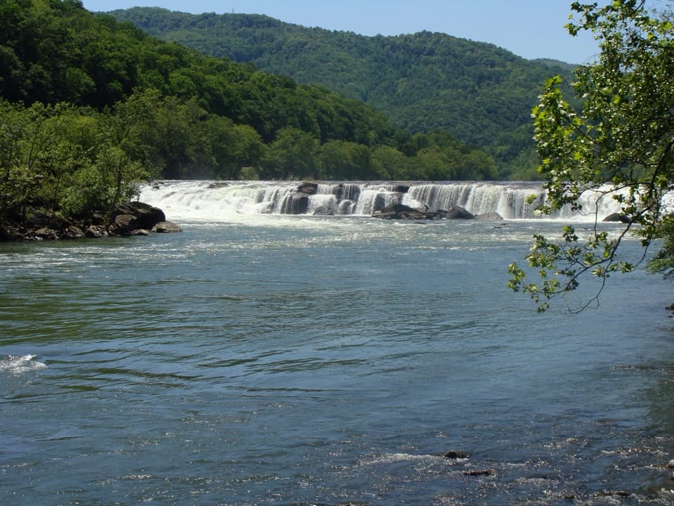 EasySandstone Falls Boardwalk0.5 mi · 30 min · 3 mi awayA wide, low waterfall reached by bridges and an accessible boardwalk.
 ChallengingKates Plateau Trail8.9 mi · 5.5 hr · 7.5 mi awayOld logging roads, fields and a steep creek crossing.
 ModeratePolls Plateau Trail3.7 mi · 2.5 hr · 7.5 mi awayCreek crossings and an old farmstead on a quiet forest loop.
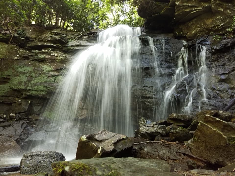 ChallengingKates Falls Trail0.4 mi · 30 min · 8.6 mi awayA short, steep climb ends at a sandstone waterfall.
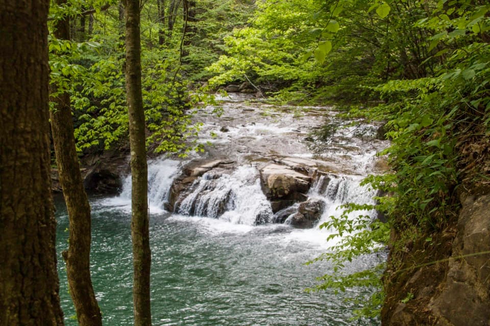 ModerateGlade Creek Trail5.6 mi · 2.5 hr · 9.9 mi awayA gentle rail grade keeps you beside cascades most of the way.
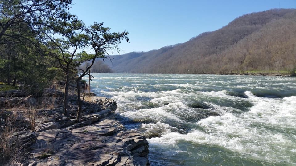 Sight · 0.1 mi awayBrooks Falls Roadside ParkA broad river rapid for a quick roadside pause.
 Sight · 0.6 mi awayHellems Beach River AccessPublic river access below Brooks Falls Rapids.
 Sight · 0.6 mi awayBig Branch FallsA waterfall hike with spring flowers and a story in the hollow.
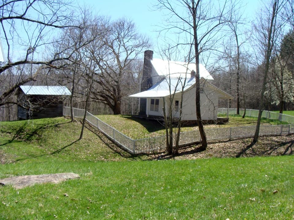 Sight · 1.3 mi awayTrump-Lilly FarmA mountain farmstead where every outbuilding had a job.
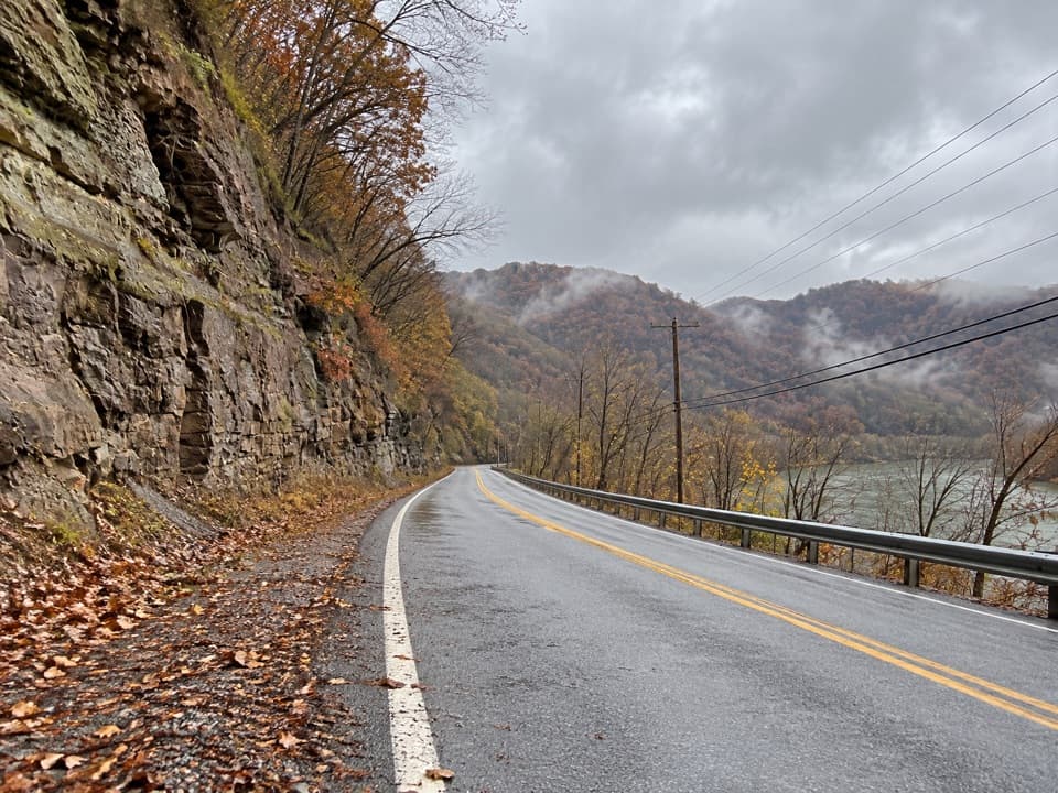 Sight · 1.4 mi awayTug Creek River AccessPublic New River access via River Road, near Hinton.
 Sight · 1.7 mi awayBrooks Island OverlookA five-minute stop for the wooded island and river below.
 Sight · 1.8 mi awayRichmond Hamilton FarmA preserved farmstead shows how families made do before the railroad.Sight · 2.5 mi awaySandstone Falls OverlookA short gravel walk, then 1,500 feet of falls from above.
Parkwolf’s New River Gorge ranking

The audio tour guide for the drive, plus offline maps, trails, and wildlife heatmaps for when the signal drops.