Pros & cons
PROS
- Diamond Point delivers sweeping gorge views for modest effort
- Multiple overlooks, rhododendron tunnels, and lively climber activity
- Three trailhead parking areas with vault toilets
CONS
- Small lots fill early; roadside parking is prohibited and towed
- Cliff edges have sheer drop-offs and no railings
- Closing the full loop requires an exposed 0.5-mile road walk
Overview
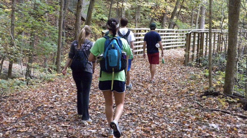
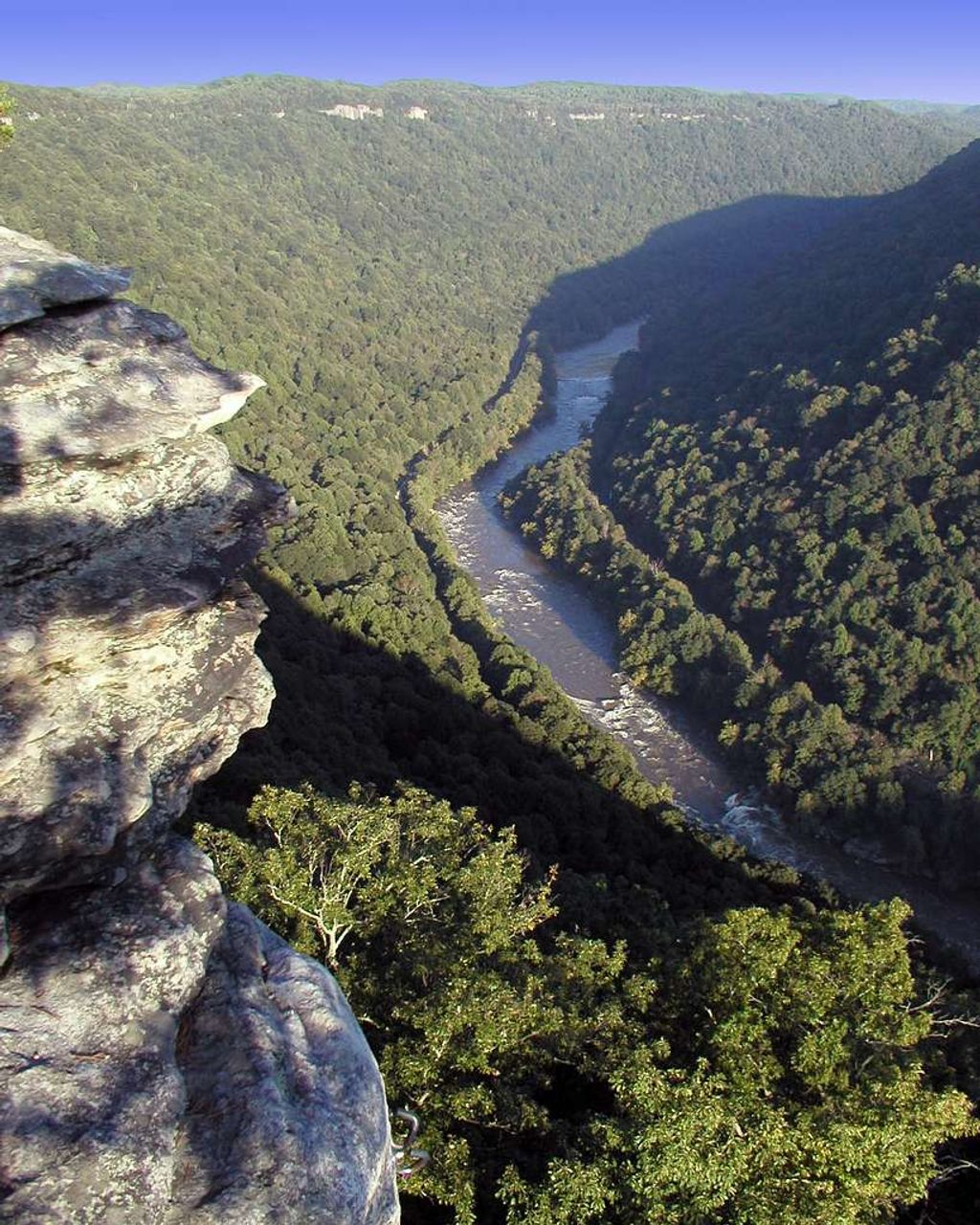
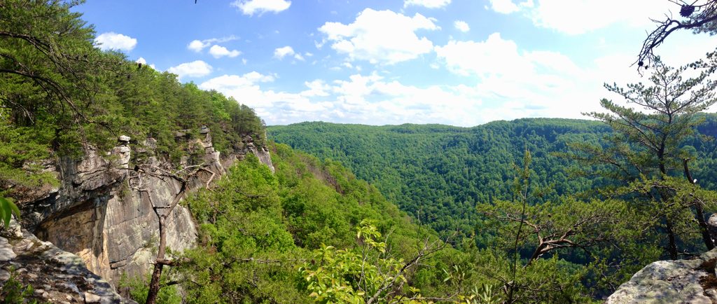
A cliff-top forest ramble with a big payoff, the Endless Wall Trail strings together sandstone overlooks high above the New River. Expect hemlock groves, rhododendron “tunnels,” and the sounds of rafters and trains nearly 1,000 feet below. It’s popular for good reason and has even been voted a best-in-the-country park hike.
Route Options
- Classic traverse: Hike point-to-point between Fern Creek and Nuttall trailheads (about 2.4 miles one way). If you don’t shuttle cars, you’ll need a 0.5-mile road walk to close the loop.
- Short-and-sweet: From Fern Creek, Diamond Point is roughly 1.0 mile each way (~2 miles round trip). From Nuttall it’s about 1.2 miles one way.
- Expect a mostly dirt path with rocky/rooty stretches; it can be muddy after rain.
Highlights You Shouldn’t Miss
- Diamond Point Overlook: Panoramic views up and down the gorge, with glimpses of the New River Gorge Bridge and the sandstone “wall” unfurling in both directions. Great for sunrise or sunset.
- Side paths: Frequent spur trails slip through rhododendron to cliff-edge viewpoints—use extreme caution at edges.
- Fern Creek: Cross a footbridge near small falls in a cool, mossy drainage.
- Climber access: You may see fixed ladders on side paths—intended for climbers. Only descend if conditions are dry and you’re confident.
Geology & History
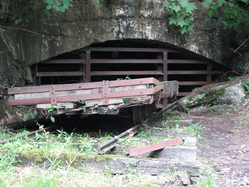
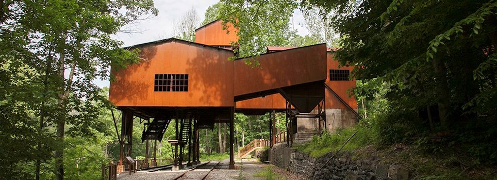
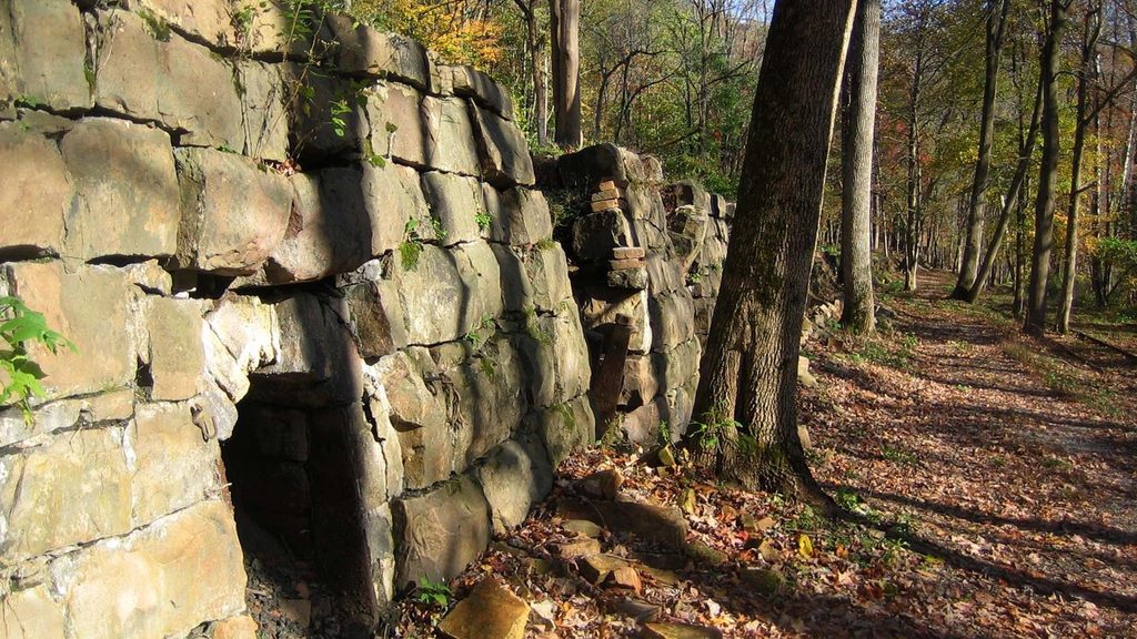
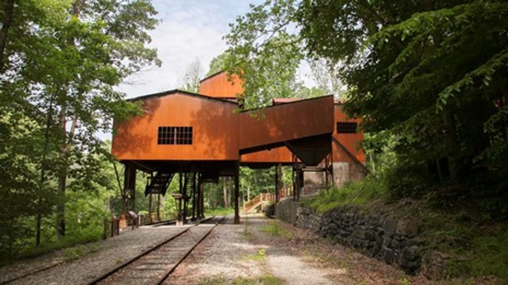
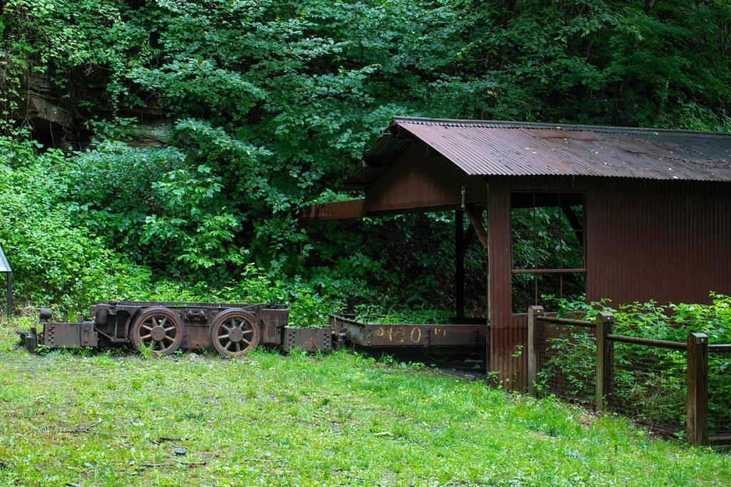
The “endless” sandstone cliff line was carved by the ancient New River, exposing layers of sandstone, shale, and coal. This same geology powered a coal boom: rail lines and mines like nearby Nuttallburg once dominated the gorge. Today, forest has reclaimed most of those sites, but you’ll still hear trains echoing through the canyon.
Wildlife & Flora
Look for old hemlock stands giving way to mixed hardwoods, seasonal wildflowers, and abundant fungi in the Fern Creek microclimate. Rhododendron blooms typically peak around June. Wildlife sightings vary; keep your distance and enjoy watching climbers and whitewater rafters far below.
Trailheads, Parking & Amenities
Turn off US-19 onto Lansing–Edmond Road (just north of Canyon Rim Visitor Center). Fern Creek trailhead is about 1.3 miles in; Nuttall is about 1.8. A newer, larger lot sits just beyond Nuttall and also links to the trail. Lots are small and fill early. Do not park on the road—towing is enforced. Vault toilets are available at the trailheads; there’s no running water.
Safety & Etiquette
Sheer drop-offs are constant—keep well back from edges and supervise kids closely. Never throw rocks; climbers may be below. The tread can be slick, rocky, and rooty—wear sturdy footwear. Dogs are allowed on leash. Camping is not permitted along this trail.
Best Time to Visit
Year-round is fair game, but spring through fall draws the biggest crowds. Aim for early morning, late afternoon, or weekdays to snag parking and quiet overlooks. Diamond Point works for both sunrise and sunset, and morning mist in the gorge can be spectacular.
Where it is
38.0567, -81.0529Tips for Endless Wall
- 01Arrive early or go on weekdays; lots are small and fill fast.
- 02If Fern Creek is full, continue to Nuttall or the larger lot just beyond it.
- 03Do an out-and-back to Diamond Point to avoid the 0.5-mile road walk.
- 04Look for the signed Diamond Point spur—don’t turn back at earlier pull-outs.
- 05Use flush restrooms at Canyon Rim Visitor Center before heading to the trail.
Amenities
Near Endless Wall
All places →All trails →
0.4 mi awayDiamond PointShort hike to a grandstand view over the New River gorgeScenic Viewpoint · Parking
0.5 mi awayKaymoorSteep hike to evocative coal mine ruins and a quick gorge viewTrailhead · Parking
0.7 mi awayNuttallburgFord-era coal town ruins deep in the gorgeRestroom · Parking
0.8 mi awayTipple TrailShort, flat walk through Nuttallburg’s impressive coal-town ruinsEasy · 1.2 mi · 36 min
0.8 mi awayKeeneys Creek TrailHistoric rail-trail to Nuttallburg’s coal relics along a lively creekEasy · 6.6 mi · 2.5 hr
0.8 mi awayConveyor TrailSteep, industrial hike under Nuttallburg’s historic coal conveyorChallenging · 3.3 mi · 2 hr
1 mi awayKaymoor Mine SiteSteep stairway to eerie, well-signed ruins of a coal townTrailhead · Restroom
1 mi awayHeadhouse TrailShort, steep return to a remarkably intact coal mine headhouseModerate · 1.4 mi · 1 hr