Pros & cons
PROS
- Remarkably intact coal town ruins with clear, engaging interpretive signs
- Easy riverside walking around the tipple, conveyor, and coke ovens
CONS
- Access road is narrow, steep, and partly gravel; not suited to large vehicles
- Headhouse hike is short but very steep on the return
Overview
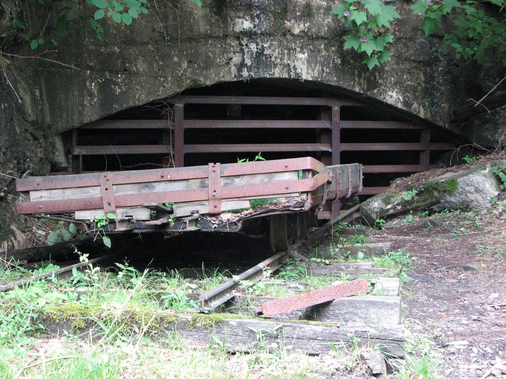
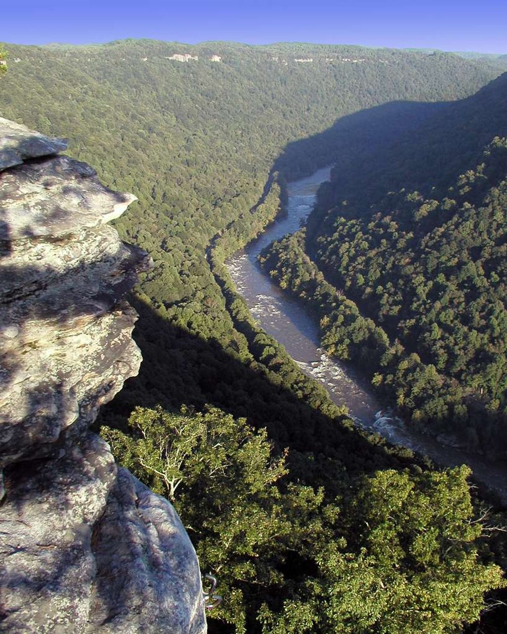
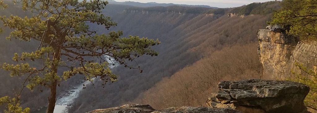
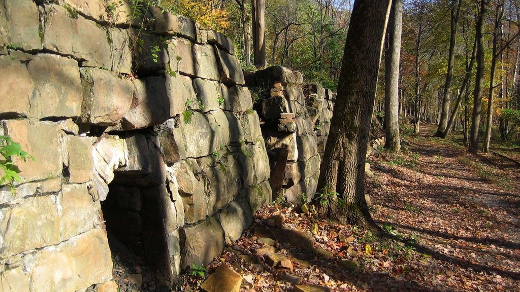
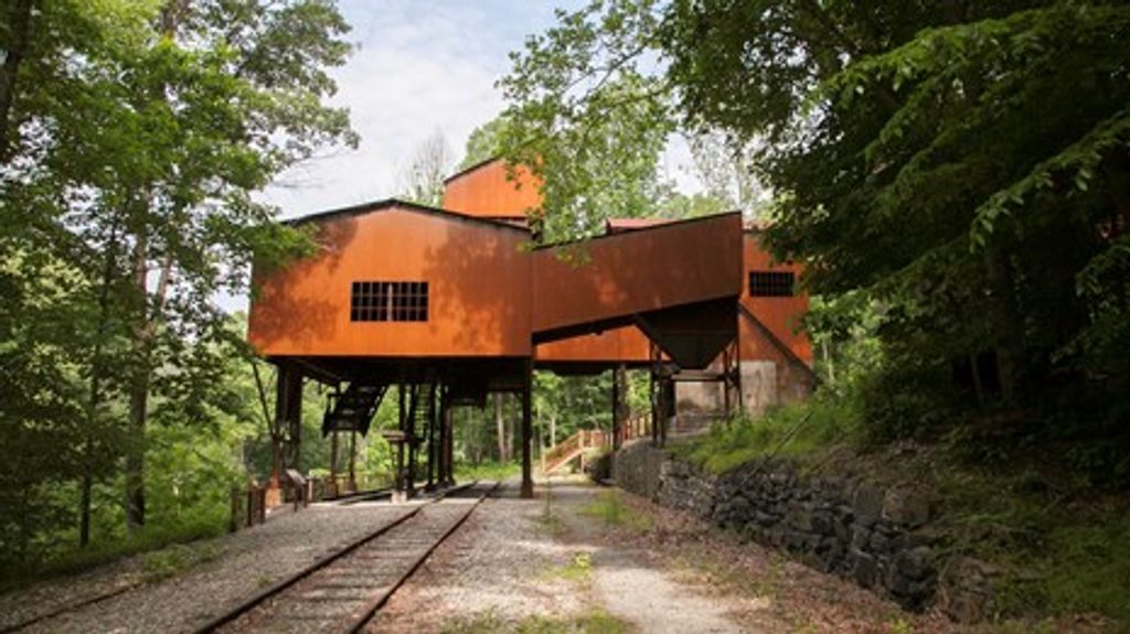
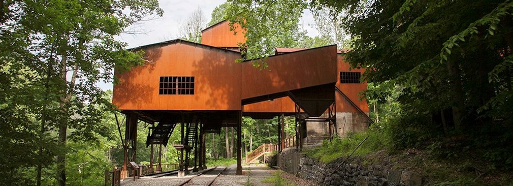
If you’re into industrial history or just love atmospheric ruins, Nuttallburg delivers. Set deep in the gorge along the New River, this preserved coal-mining complex shows off a massive 1920s-era conveyor and tipple, strings of coke ovens, and the bones of a once-bustling company town. It’s one of the most complete coal-industry sites in West Virginia—quiet, evocative, and easy to explore at river level.
What You’ll See
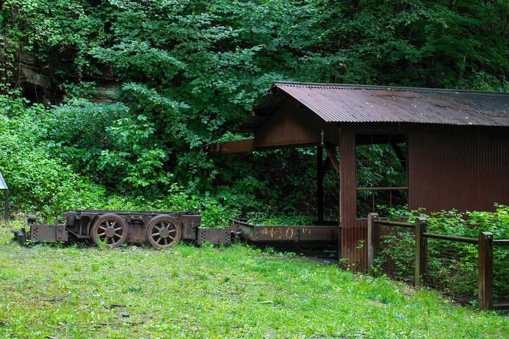
- Bottom area (river level): Short, mostly flat paths wind through the conveyor and tipple, coke ovens, and foundations of town buildings. Exhibits do a great job explaining how coal came down from the seam to the rail, and what daily life looked like.
- Top area (headhouse): The upper end of the conveyor system with rusting machinery and structures—best for understanding the full operation, but it requires a steep hike.
- Along the drive in: Exhibit panels highlight the African American community that lived and worked here—worth slowing down to read.
History Snapshot
Founded in the 1870s by English entrepreneur John Nuttall, the town took off when the railroad arrived and started shipping “smokeless” New River coal. In the 1920s, Henry Ford’s company leased the operation and modernized it to feed his factories. Ford ultimately sold in 1928 when he couldn’t control the rail transport, and mining ceased for good in 1958. The site later became park land and underwent a major stabilization—what you see today is a rare, intact look at the industry’s heyday.
Getting There & Road Conditions
Keeneys Creek Road is the only way in by car, and it’s part of the adventure: narrow, winding, steep, and partly gravel, with long one-lane stretches where you may need to pull into a turnout or even back up for oncoming cars. Large vehicles and trailers aren’t recommended. Drive slowly, be courteous, and avoid after heavy rain if you don’t like rough/gravel surfaces.
Facilities
Expect basics only: a small river-level parking area, a vault/pit toilet, and interpretive exhibits. No picnic tables (there are a few benches). There’s also parking up top for the Headhouse Trail.
How Long & Difficulty
Figure 1–2 hours to stroll the bottom area and soak up the exhibits. Add another hour (or more) if you include the top-of-the-system headhouse. The Headhouse Trail is short but steep; the river-level paths are easy and suitable for most people if you take your time.
Wildlife & Stewardship
You’re in bear country (raccoons and skunks are more commonly seen). Keep food secured, give wildlife space, and never feed animals. This is a protected historic site—don’t climb on structures, and leave artifacts where you find them.
Best Time to Visit
May through October brings the most reliable weather and fuller park operations, with fall color peaking late October to early November. Go earlier in the day to reduce the odds of meeting multiple cars on the one-lane road and for softer light on the ruins. Avoid the drive after heavy rain if you’re not comfortable with gravel.
Tips for Making the Most of It
- Download maps before you go—cell service in the gorge is spotty and GPS can misroute.
- If you want to see the headhouse, consider starting from the top trailhead so you descend first and climb back while you’re fresh.
- Wear sturdy shoes; gravel and uneven ground are the norm.
- Bring water and bug spray, especially in warm months.
- Give yourself a little buffer time for the slow, one-lane drive in and out.
Where it is
38.0515, -81.0427Tips for Nuttallburg
- 01Arrive early to minimize meeting oncoming cars on the one-lane road.
- 02Pre-download offline maps; cell service is unreliable in the gorge.
- 03Plan 1–2 hours for the river-level ruins; add an hour for the headhouse.
- 04Avoid taking trailers or long vehicles; drive slowly and yield generously.
- 05Don’t climb on structures or remove artifacts—this is a protected site.
Amenities
Near Nuttallburg
All places →All trails →
0.2 mi awayTipple TrailShort, flat walk through Nuttallburg’s impressive coal-town ruinsEasy · 1.2 mi · 36 min
0.2 mi awayKeeneys Creek TrailHistoric rail-trail to Nuttallburg’s coal relics along a lively creekEasy · 6.6 mi · 2.5 hr
0.2 mi awayConveyor TrailSteep, industrial hike under Nuttallburg’s historic coal conveyorChallenging · 3.3 mi · 2 hr
0.6 mi awayHeadhouse TrailShort, steep return to a remarkably intact coal mine headhouseModerate · 1.4 mi · 1 hr
0.7 mi awayEndless WallClifftop hike to Diamond Point with sweeping gorge viewsTrailhead · Parking
0.7 mi awayKaymoorSteep hike to evocative coal mine ruins and a quick gorge viewTrailhead · Parking
0.9 mi awayDiamond PointShort hike to a grandstand view over the New River gorgeScenic Viewpoint · Parking
1.1 mi awayBeauty Mountain OverlookShort rim walk to sweeping, west-facing views of the gorgeTrailhead · Parking