
Place · 0.2 mi away
Challenging
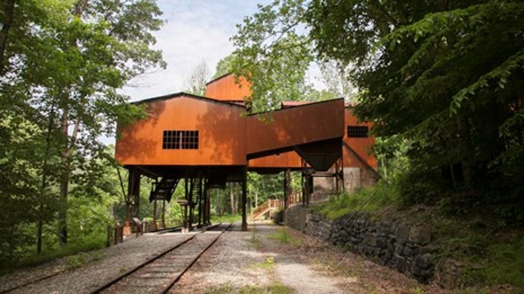
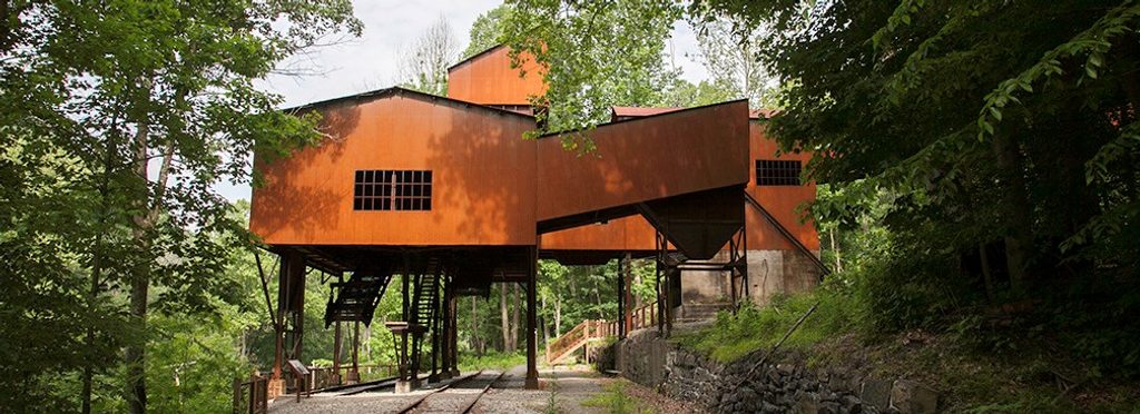
The Conveyor Trail is a short, very steep slice of coal country history in the Nuttallburg area. The trail’s claim to fame is exactly what it sounds like: you walk beneath the restored coal conveyor that once shuttled coal from the mine down to the railroad. It’s rugged, narrow in spots, and covered with loose coal “slag,” so expect more eyes-on-feet than big vistas. If you’re here for mining ruins and a tangible sense of the past, it delivers; if you want sweeping views, choose another trail.
The Conveyor segment itself is 0.8 miles one way, dropping (or climbing) through tight switchbacks between the upper Headhouse area and the river-level Keeneys Creek Rail Trail. Many hikers combine it into a more complete out-and-back—Headhouse → Conveyor → Keeneys Creek Rail Trail (and townsite)—for about 3.3 miles total and roughly 2 hours including photo and interpretive stops.
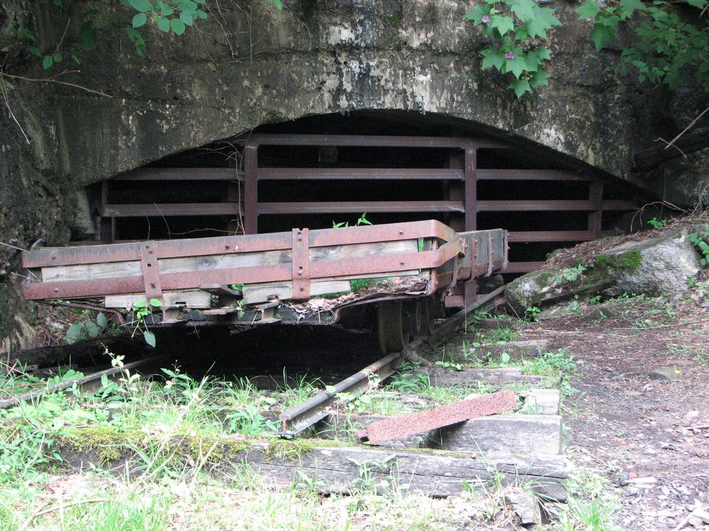
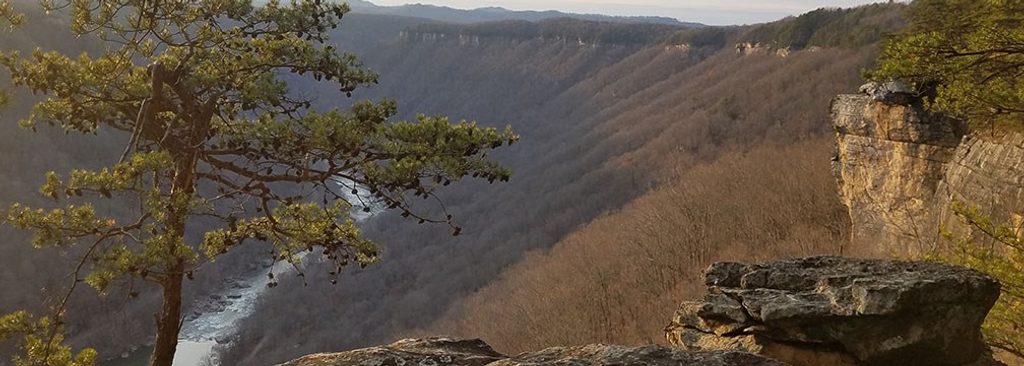
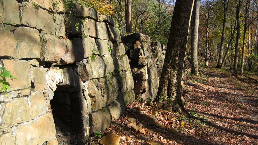
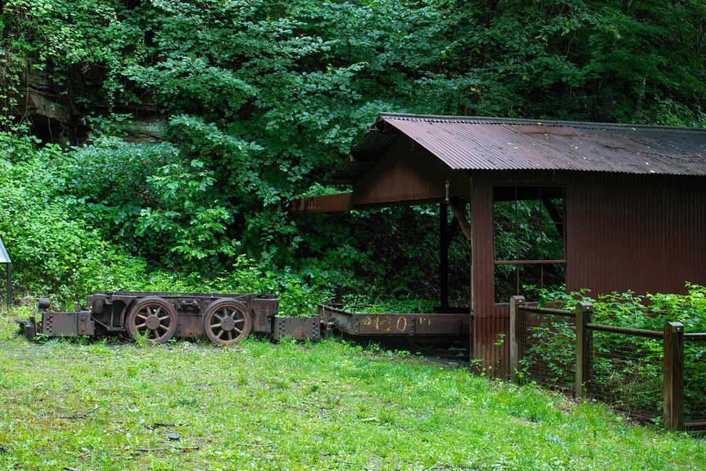
This is one of the park’s most immersive industrial walks: the conveyor overhead, the mine entrance and headhouse, scattered cables and metal remnants, coke-oven and tipple ruins, and interpretive signs that paint a picture of life and work here. Views of the gorge pop in and out through the trees, but the draw is the mining landscape itself.
Make no mistake—this is strenuous despite the short mileage. The average grade is very steep, the tread is often loose with coal debris, and summer growth can encroach on the narrow switchbacks. After rain, the slope gets slick. Poles and real boots pay for themselves here. Dogs are allowed on leash, but watch paws on sharp slag and metal.</n
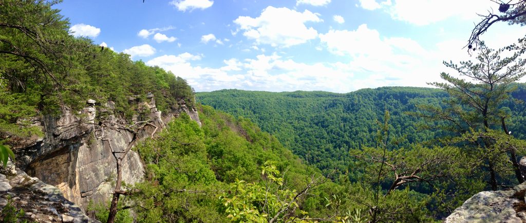
New River is one of the planet’s oldest river systems, and it carved this deep gorge through layered sandstone, shale, and coal over immense time. Those coal seams are why towns like Nuttallburg existed; the crumbly, black underfoot “slag” is a byproduct of that era, still telling the story along the trail.
Either way, budget extra time to explore the town ruins and interpretive displays.
March–October is the sweet spot. Spring and fall have cooler temps and fewer bugs. In midsummer the switchbacks can get brushy and buggy—long pants and repellent help. Avoid a wet-day descent; this trail is much friendlier dry and in daylight.
Upper: Headhouse Trailhead area; Lower: river-level Nuttallburg lot via narrow, partly gravel Keeneys Creek Road. Limited facilities; arrive early and drive slowly.
Very steep, loose slag and industrial debris underfoot; overgrown switchbacks in summer; slick when wet; confusing signage near the upper approach; narrow, single-lane access road. Keep dogs leashed and paws off sharp debris.
Place · 0.2 mi away
Place · 0.8 mi away
Place · 0.8 mi away
Place · 0.9 mi away
Easy · 0 mi away
Easy · 0 mi away
Moderate · 0.6 mi away
Easy · 0.9 mi away

Parkwolf Tour Guide
