
Place · 0.2 mi away
Easy
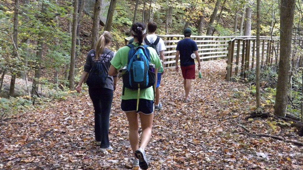
This is a short, easy history walk through the Nuttallburg coal town site—perfect when you want more story than sweat. The Tipple Trail is 0.6 miles one way (1.2 miles total out-and-back) with minimal elevation gain, and it’s all about the preserved industrial landscape and the people who lived and worked here. Budget 30–60 minutes depending on how much you read the exhibits.
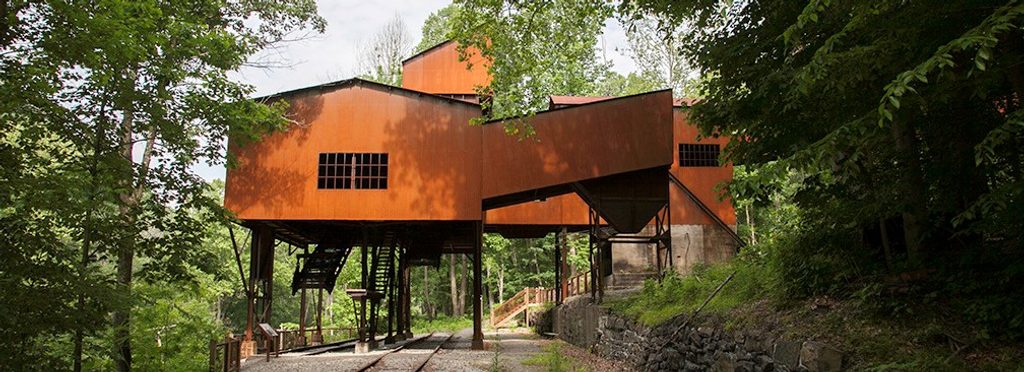
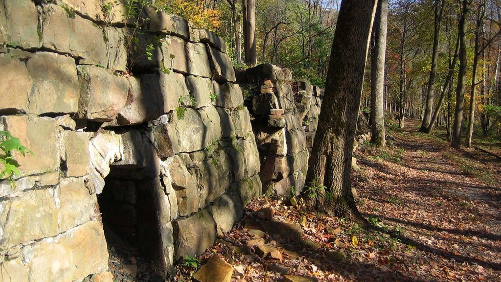
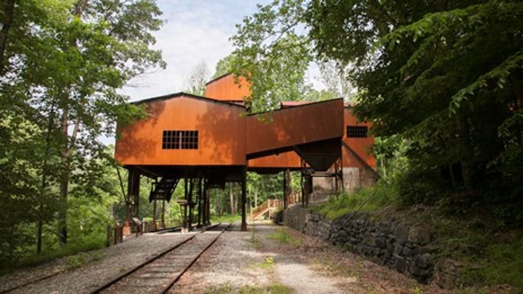
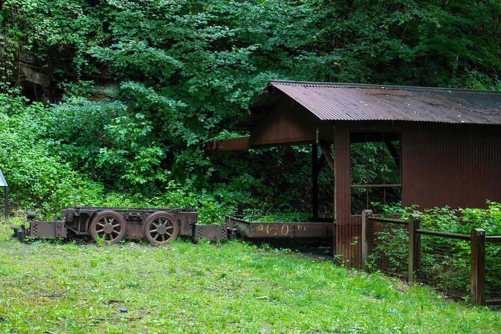
You’ll pass beneath the striking 1920s coal conveyor and tipple system associated with Henry Ford’s efforts here, then follow a long battery of coke ovens where coal was processed for steel. Interpretive signs unpack the town’s history, including the lives of African American residents across Short Creek—cross the bridge to connect the industry to the community. It’s one of the most tangible coal-era sites in the gorge, with lots to look at and photograph.
Hiking is allowed throughout; biking is permitted only on the segment from the parking area that goes under the conveyor and along the top of the coke ovens. To see the fronts of the ovens or underneath the tipple, you must be on foot. Expect mostly flat, easy footing, but some stretches can feel overgrown in warm months, and mosquitoes can be active—long pants and bug spray help. There have been occasional reports of glass near the end; keep an eye on paws if you bring a dog (leash required).
Getting here is part of the adventure. From US 19 near Canyon Rim, take Lansing–Edmond Road to Winona, then Keeneys Creek Road to the Nuttallburg parking area. These roads are narrow, winding, steep in places, and partly gravel with single-lane stretches—be ready to yield, use pull-offs, or back up briefly. Large vehicles and trailers are not advised, and the drive can feel sketchy just after heavy rains. An accessible parking space sits about 0.10 miles beyond the main lot. On site you’ll find parking, benches, and a pit toilet (no picnic tables).
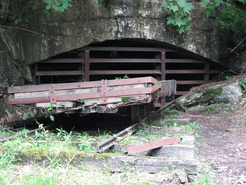
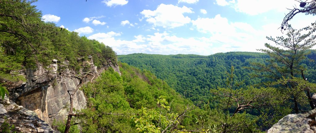
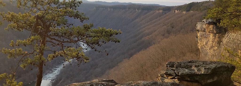
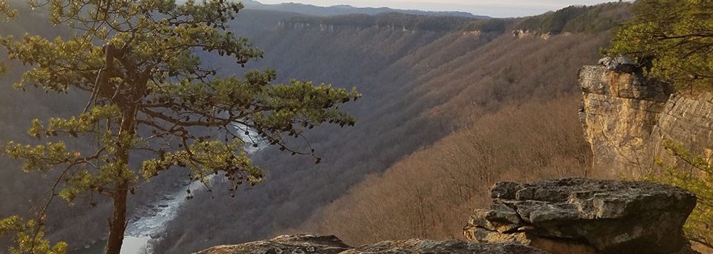
You’re exploring along the ancient New River, which carves through 1,000‑foot sandstone cliffs and a vast, forested gorge. The landscape and the rails underfoot tell the story of coal and timber shaping the region—the very reason towns like Nuttallburg existed.
Year-round is fine. Summer brings thicker vegetation and mosquitoes; spring and fall typically offer clearer sightlines and more comfortable temps. October is popular for fall color and the Bridge Day weekend up at the New River Gorge Bridge, which can increase regional traffic—plan your timing. Mid-morning or late afternoon light works well for photographing the conveyor and the coke ovens.
Park at the Nuttallburg parking area via Lansing–Edmond Road to Winona, then Keeneys Creek Road; an accessible space is ~0.10 miles beyond the main lot.
Narrow, steep, partly gravel access road with single-lane stretches; large vehicles/trailers not advised. Do not climb on historic structures. Bikes only on designated section. Watch for mosquitoes and occasional glass near the end.
Place · 0.2 mi away
Place · 0.8 mi away
Place · 0.8 mi away
Place · 0.9 mi away
Easy · 0 mi away
Challenging · 0 mi away
Moderate · 0.6 mi away
Easy · 0.9 mi away

Parkwolf Tour Guide
