
Place · 0.6 mi away
Moderate
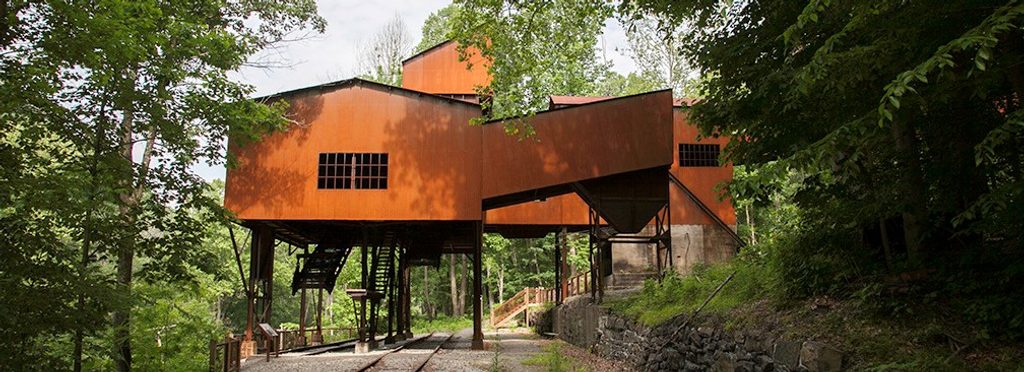
A quick hit of industrial history with a cardio kicker on the way out. The Headhouse Trail drops on a gravel administrative road to the Nuttallburg mine entrance and the top of the famous coal conveyor. It’s about 1.4 miles total out and back (0.7 mile one way) with roughly 400 feet of climbing on the return. Expect a straightforward walk down, a steady grind back, and plenty to explore in between.
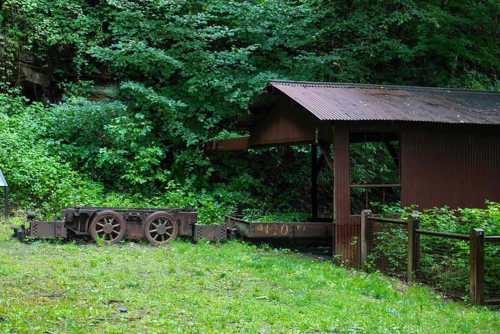
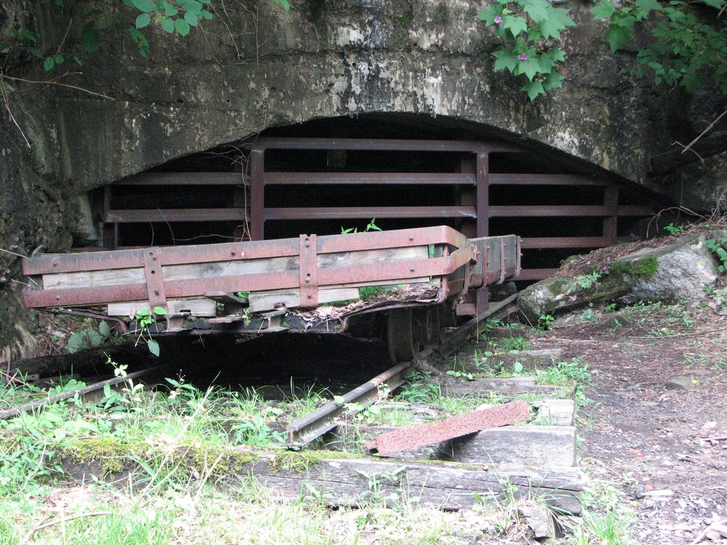
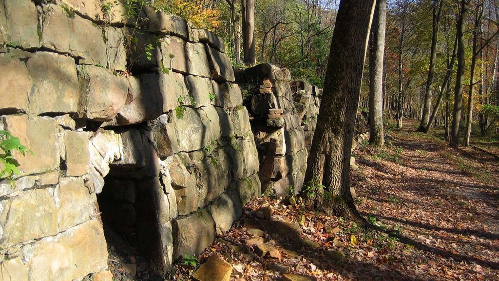
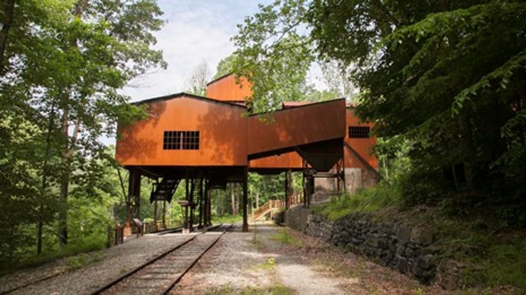
As you descend, look for big Nuttall Sandstone outcrops and boulders lining the road. At the end of the road you’ll reach the headhouse, mine portal, and the upper terminus of the conveyor system—an unusually intact piece of coal-era engineering. Wayside exhibits tell the story of Nuttallburg’s operation from the 1870s through 1958, including the conveyor system that moved coal from the drift-mine opening down to processing at river level. It’s an up-close, “feel the machinery” kind of site—excellent for history buffs and photographers.
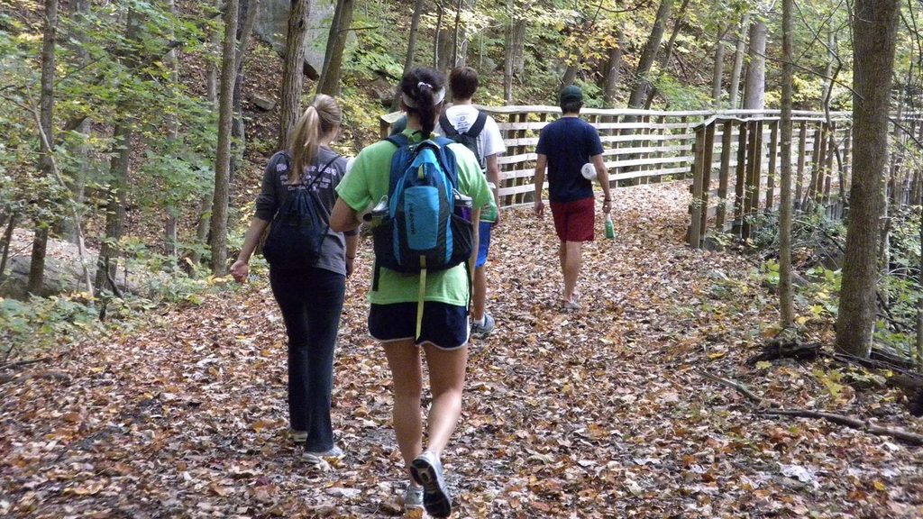
The surface is mostly gravel with some loose sections, so sturdy shoes help. The profile is deceiving: it’s downhill first, then all uphill back to your car. Trekking poles make the return more comfortable. Hiking and biking are allowed on the Headhouse Trail; if you branch to the connecting Conveyor Trail, know that it’s hiking-only and considerably steeper and looser.
Near the end of Headhouse, a junction drops steeply down the Conveyor Trail toward the old rail grade along Keeneys Creek. From there, strong hikers can link to the Keeneys Creek Rail Trail and Town Loop to visit the river-level ruins. It’s a rewarding but strenuous add-on with slick, “slaggy” footing—plan extra time and energy if you commit to it.
From US 19 in Lansing, take Lansing–Edmond Road about 2.5 miles, turn right on Beauty Mountain Road for 0.1 mile, then turn right just past Nuttall Cemetery Road. Park by the gate at the trailhead. Signage can feel sparse and the approach roads are narrow and curvy—go slow and verify you’re at the right gate. A trail map from Canyon Rim Visitor Center makes this much easier.
Fall is especially pretty thanks to colorful hardwoods framing the rock and steel. Cooler mornings make the uphill return more pleasant. Please do not climb, sit, or walk on any historic structures or artifacts—their preservation is the whole point of this hike.
Small pull-off/parking by the gate at the trailhead: from US 19 take Lansing–Edmond Rd 2.5 mi, right on Beauty Mountain Rd 0.1 mi, then right just past Nuttall Cemetery Rd.
Do not climb or walk on historic structures; loose gravel on steeper sections; the approach road is narrow/curvy and signage can be limited.
Place · 0.6 mi away
Place · 1 mi away
Place · 1 mi away
Place · 1.2 mi away
Easy · 0.6 mi away
Easy · 0.6 mi away
Challenging · 0.6 mi away
Easy · 1 mi away

Parkwolf Tour Guide
