
Place · 0.2 mi away
Easy
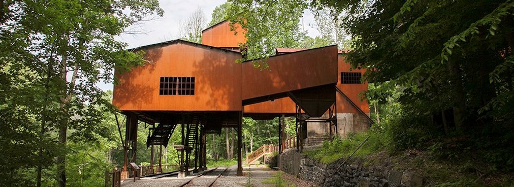
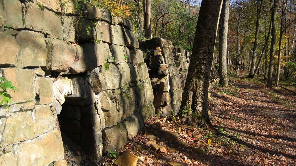
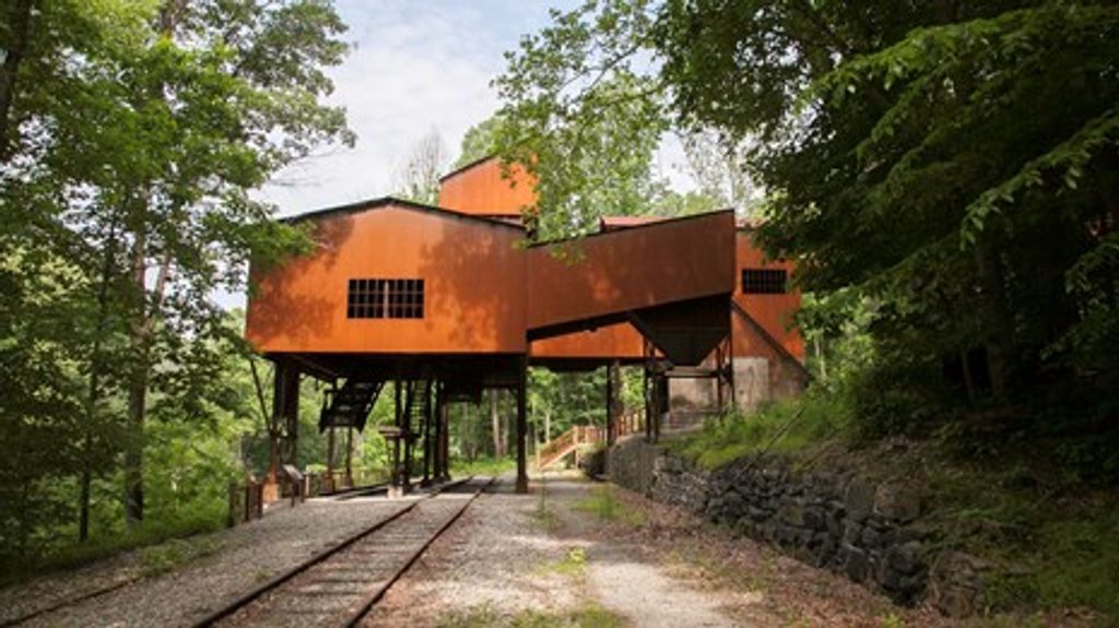
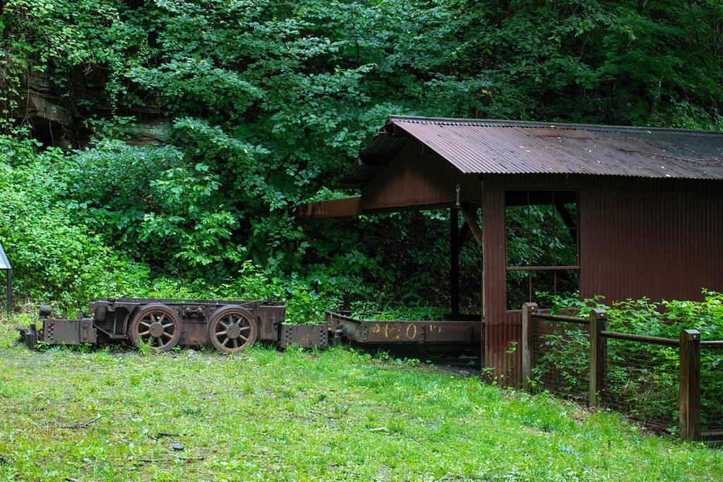
A gentle rail-grade with a gritty backstory, the Keeneys Creek Rail Trail follows a former mining railroad for 3.3 miles one way (6.6 miles total out-and-back). When open, it’s an easy walk or mellow mountain bike ride past trestles, tumbling side streams, and the nationally significant Nuttallburg coal complex—once owned by Henry Ford. Expect big gravel underfoot, broad forest, and an open-air museum feel as you pass the conveyor, tipple, coke ovens, and exhibits.
The route threads along Keeneys Creek and crosses tributaries like Short Creek, with bridges and old rail features opening up peekaboo views down the rugged terrain. The headline moment is moving beneath the dramatic coal conveyor above Nuttallburg, with industrial ruins and interpretive signs that bring coal-town life into focus. If you’re into scenery and stories, this one punches above its effort.
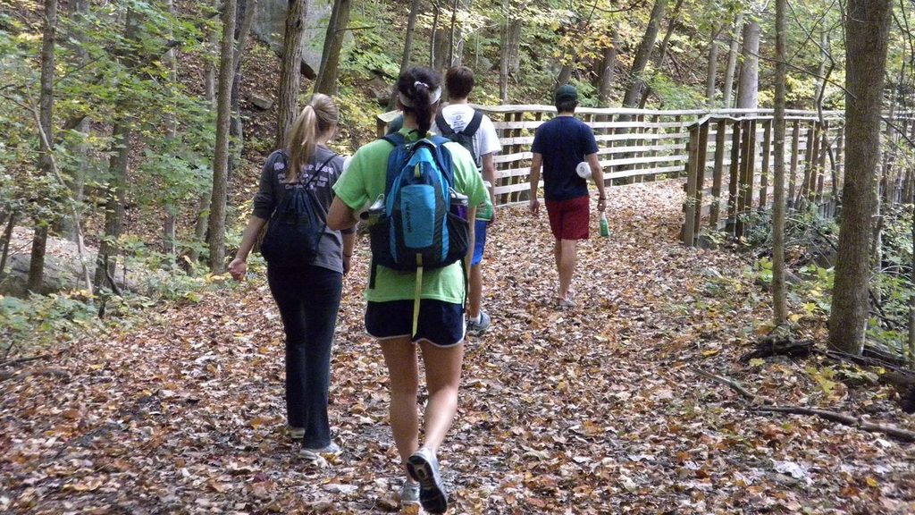
The main rail trail is 3.3 miles one way on a wide, compacted but chunky gravel bed—flatter than typical mountain trails but reported steeper than most rail-trails. Most hikers will call it easy; cyclists will want mountain bikes or wide tires. Connected options like the Conveyor Trail are steep and rough—great for a workout, but not “rail-trail easy.”
Access is via Keeneys Creek Road, a narrow, curvy route with single-lane stretches where you may need to yield or reverse. There are two small pull-off parking areas along the road. At the Nuttallburg end, parking and restrooms are typically available when that area is open. Pick up a paper map at Canyon Rim Visitor Center before you commit—the area is remote and junctions with side trails can be confusing.
This corridor has experienced washouts and a closed bridge in recent seasons, and the rail trail has been listed as closed due to a dangerous washout. Conditions change—confirm the current status the morning of your trip and be ready to alter plans or turn around.
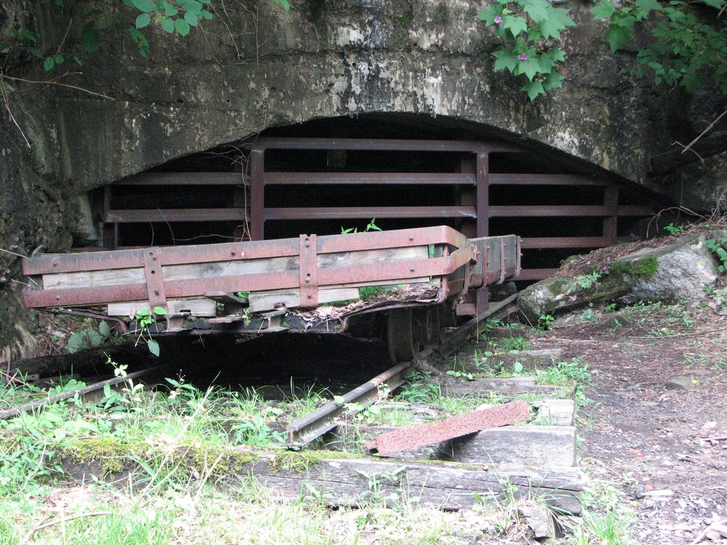
From the rail grade, you can connect to the Town Loop Connector and the Conveyor Trail up to the mine entrance/headhouse. The town-side loops are short and interpretive; the Conveyor Trail is steep, loose, and slow going. If you want a shorter taste, there’s also a 3.0-mile loop option near the town site when conditions allow.
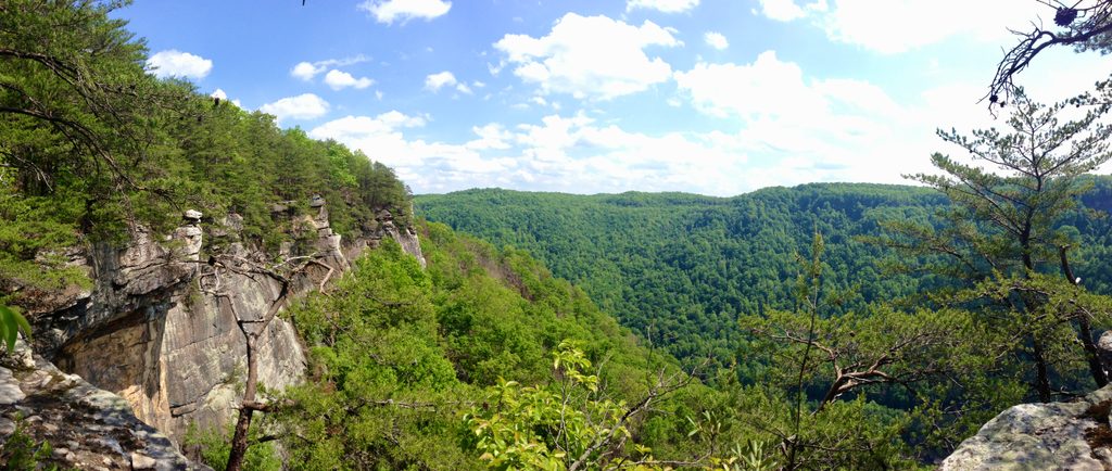
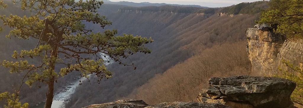
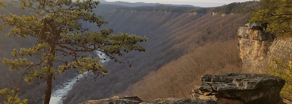
You’re moving through the famed New River Gorge—an ancient river carved into layers formed over 300 million years, from coastal seas to coal-swamp deposits. The rail line you’re walking once moved that buried swamp-turned-coal to the main C&O Railway; today, the story is told by foundations, coke ovens, and the soaring conveyor.
Spring and fall shine here: cooler temps, flowing creeks, and colorful foliage. Summer can be warm and buggy; winter can bring ice on bridges and shaded grades. For photography, morning or late-day light plays nicely off the conveyor and creek corridors. Weekdays are best if you prefer fewer vehicles on the narrow access road.
Two small pull-off trailheads along Keeneys Creek Road; additional parking and restrooms are typically available at the Nuttallburg end when open. Drive cautiously—sections are narrow and single lane.
Check for washouts and bridge closures before you go. Keeneys Creek Road is narrow with single-lane sections; be prepared to yield or reverse. Expect large, loose gravel, slick bridges, and steep, rough footing on the Conveyor Trail. Spotty cell service; carry a map and do not climb on historic structures.
Place · 0.2 mi away
Place · 0.8 mi away
Place · 0.8 mi away
Place · 0.9 mi away
Easy · 0 mi away
Challenging · 0 mi away
Moderate · 0.6 mi away
Easy · 0.9 mi away

Parkwolf Tour Guide
