Parking
No parking at the start. Battersby roads are narrow with few opportunities for vehicles to park, and the small station car park is for rail users only. Taking the train to Battersby is the recommended approach.
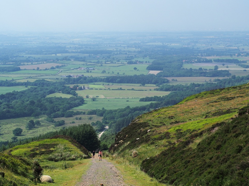
North York Moors National Park, EN
Climb a 1-in-5 ironstone incline to wide Cleveland plain views
Overview
A complete circular loop of 15.0 km (9.3 miles) starting and finishing at Battersby Station, taking in a historic ironstone railway incline, a stretch of old trackbed, open moorland on the Cleveland Way and a forested descent. The distance is the full loop total, not a one way figure. Official metrics are about 315 m of ascent and the same descent, a high point of 429 m, a low point of 131 m, and a typical time of around 4 hours. Official difficulty is moderate, though the sustained climb, length and rough descent make it feel moderate to hard for most walkers.
Map & elevation
Plan your hike

The highest, rockiest slopes around here are a summer buffet for grizzly bears.
North York Moors Tour Guide
Parkwolf is a GPS audio tour guide for North York Moors National Park. As you drive, it chimes in with what’s ahead: hidden gems, upcoming stops, history, geology, and wildlife, right through your car’s speakers.
Recorded for this area
Kildale Beneath the Church“Near Kildale's St Cuthbert's Church, the ground holds a much older village than the building you see today.”
Plays on the road 0.8 km from the trailhead in the Parkwolf North York Moors Tour Guide.
More stories near here in the app
“Fantastic app with many points of information… It’s great to just turn on while you’re driving and it gives you an audio tour of the national Park. We love it!!!!”


Trail guide
The incline was built to work ironstone traffic down off the moor, and the park authority notes gradients reaching up to 1 in 5, with interpretation on site about how the line once operated. Look out for the workers' rock carvings along the way, including the Stovepipe Hat and the Bird Man. The graded trackbed above the incline is a reminder of how much engineering was needed to move stone off this escarpment.
Surfaces change constantly: tarmac road at the start and finish, bridleway and forestry road, a steep gravel incline, level old railway track, moorland path on the Cleveland Way, then a rough, rocky stone track and forest track on the descent. There are no steps or stiles on the official route. The climb is the main test; the descent is where tired legs and loose rock demand care, so sturdy footwear is worth having.
The reward for the climb is wide, open ground: long views over the Cleveland plain towards Teesside and the coast, then moorland walking with heather, and woodland on the return leg. The moorland section is exposed and can be windy, with little shelter between Bloworth Crossing and the descent. For the views over the plain, pick a day with clear light, when the coast and industry on the horizon read best.
Shorter circular walks exist from Bank Foot and Ingleby Greenhow, but they are separate, easier outings with their own access arrangements. This loop is the longer Battersby Station version, and its character comes from walking the full incline and the moorland crossing in one go.
Wildlife
 15 sightingsEurasian OtterMost seen around 7 PMSighting map
 10 sightingsRed DeerMost seen around 7 AMSighting map
 79 sightingsGrey SealMost seen around noonSighting map
 26 sightingsWestern Barn OwlMost seen around 7 PMSighting map
 33 sightingsEuropean BadgerMost seen around 7 PMSighting map
 10 sightingsMute SwanMost seen around noonSighting map
Sighting maps show where each species has been reported across North York Moors. Wildlife moves, so no sighting is guaranteed.
Keep exploring
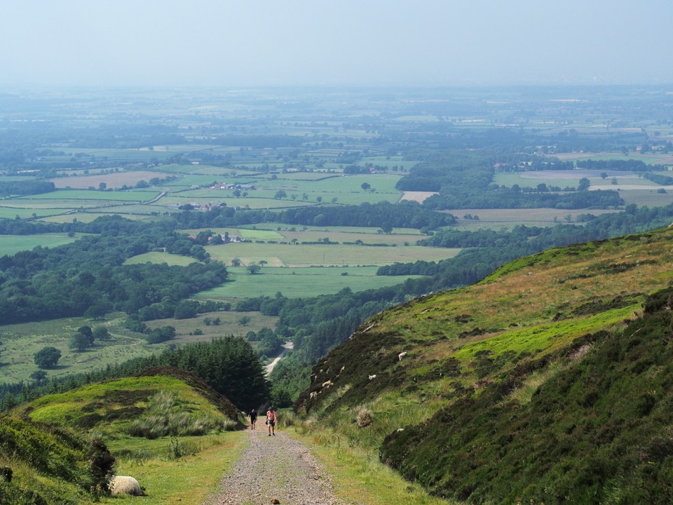 ChallengingMiles without Stiles (For some) - Ingleby Incline11.4 km · 3.8 hr · At the trailheadA mile of 1:5 Victorian railway incline, climbed on foot from Battersby
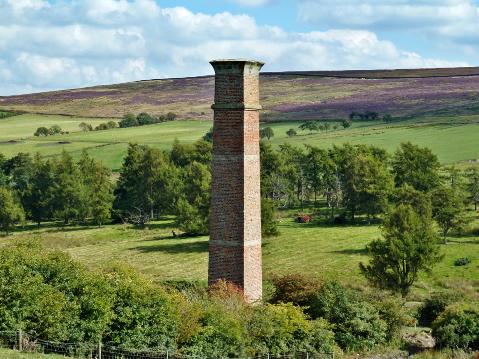 ModerateWarren Moor Mine from Kildale5.3 km · 1.5 hr · 2.9 km awayQuiet lanes and a steep grass descent to a lost ironstone mine
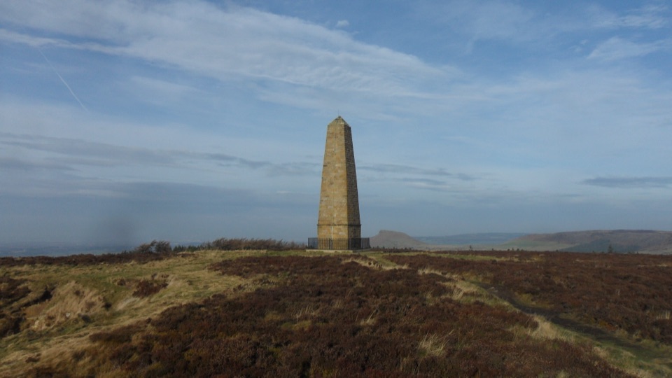 ModerateCaptain Cook's Monument Walk2 km · 1 hr · 3.8 km awayShort uphill climb to an 1827 obelisk with wide Tees Valley views
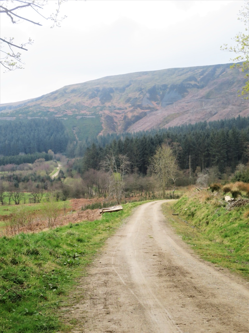 ModerateMiles without Stiles (For some) - Clay Bank and Greenhow Plantation4.8 km · 1.5 hr · 3.9 km awaySteep forestry tracks, shady plantation and big views to Roseberry Topping
 ModerateRoseberry Topping and Cook’s Monument11.6 km · 3.5 hr · 4.3 km awayTwo summits, one 7.2-mile loop: stone steps, open moor, 360-degree views
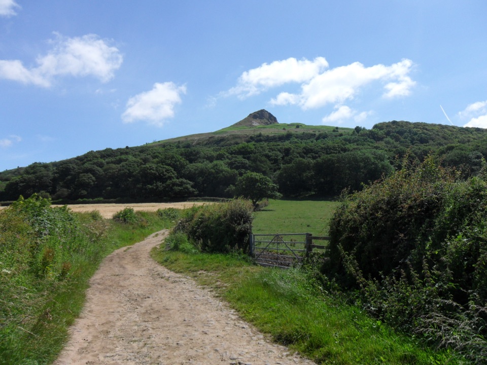 ModerateRoseberry Topping Woodland Wildlife Walk5.3 km · 1.5 hr · 5.9 km awayBluebell woods beneath a landmark hill, on a muddy 3.3-mile loop
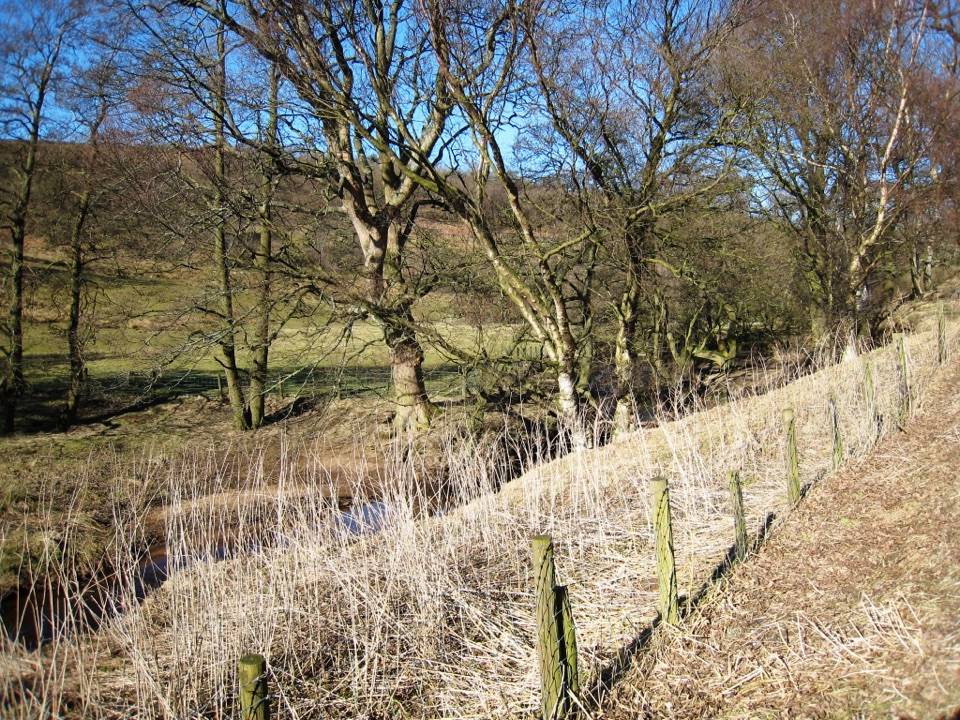 ModerateBaysdale Circular15.3 km · 5.5 hr · 6.4 km awayRemote moorland circuit above Baysdale Beck, past a private abbey site
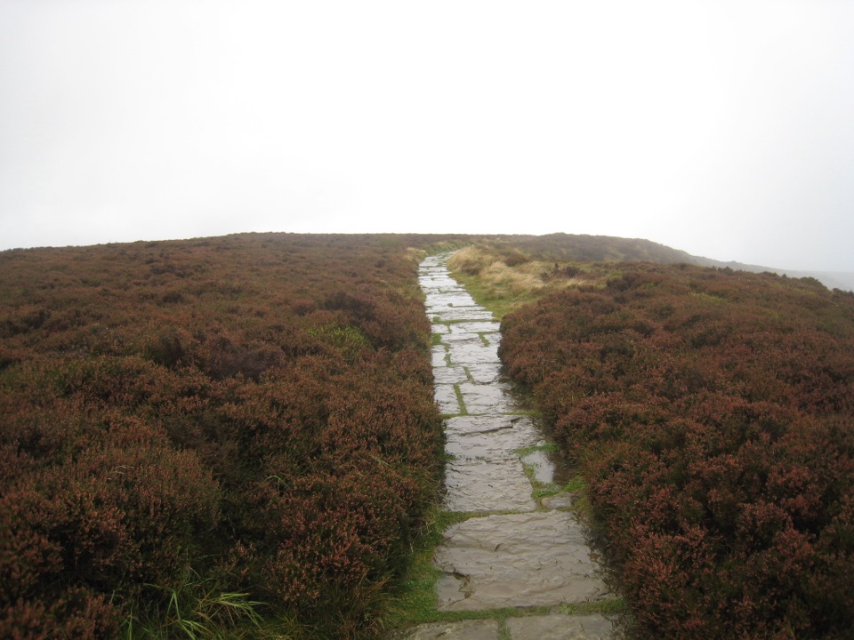 EasyLord Stones Walk4.4 km · 1.4 hr · 7.6 km awaySteep pitched climb to a stone seat above the wide Cleveland plain
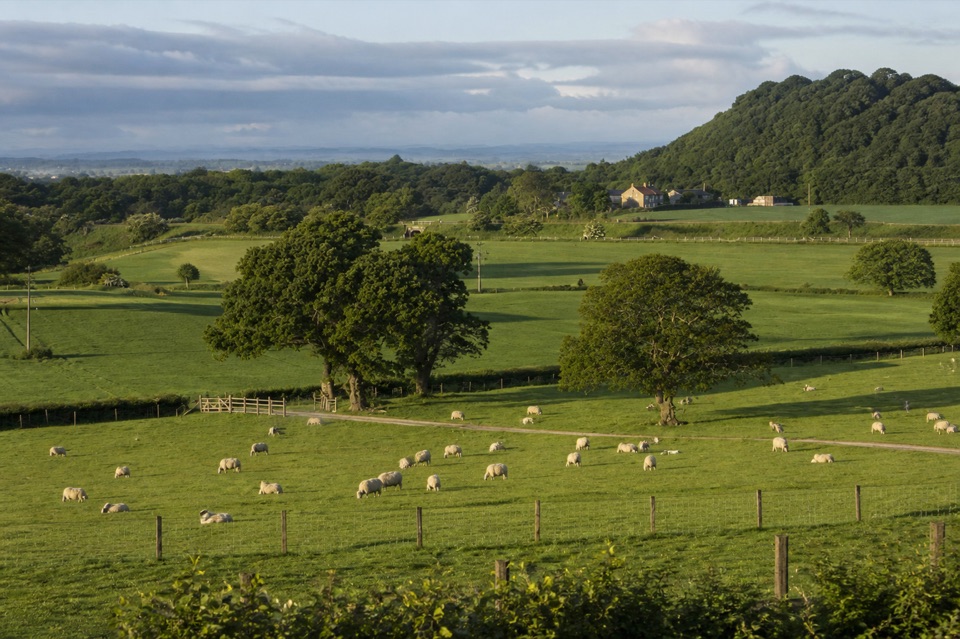 Campground · 1.9 km awayKildale Camping Barn and CampsiteQuiet working-farm pitches a field from the Cleveland Way
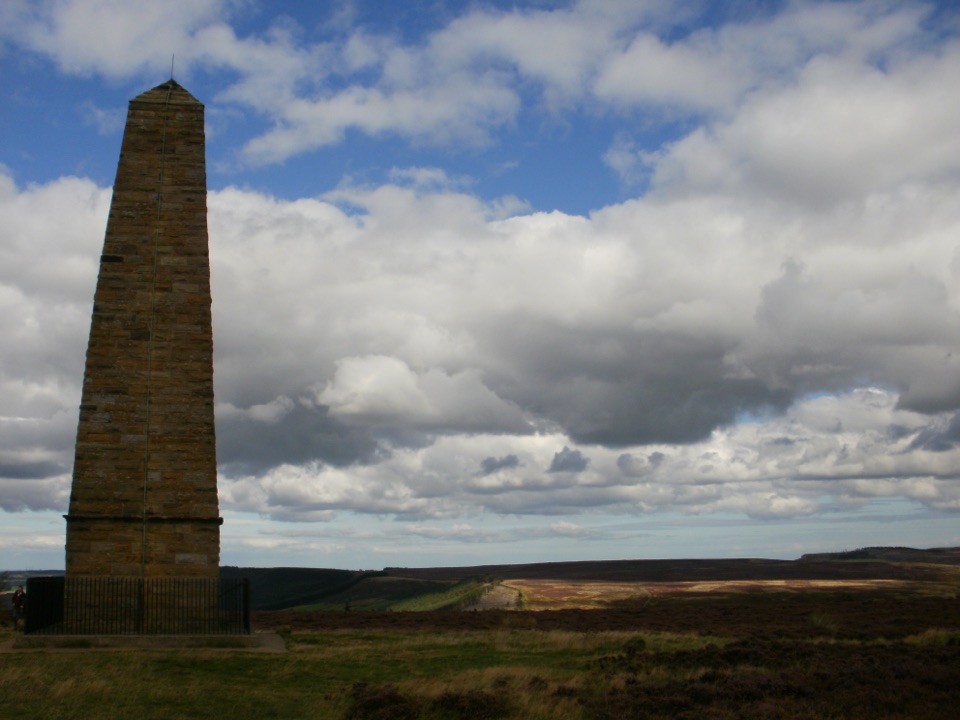 Sight · 2.9 km awayCaptain Cook's MonumentAn 18-metre sandstone obelisk on open moorland, earned on foot
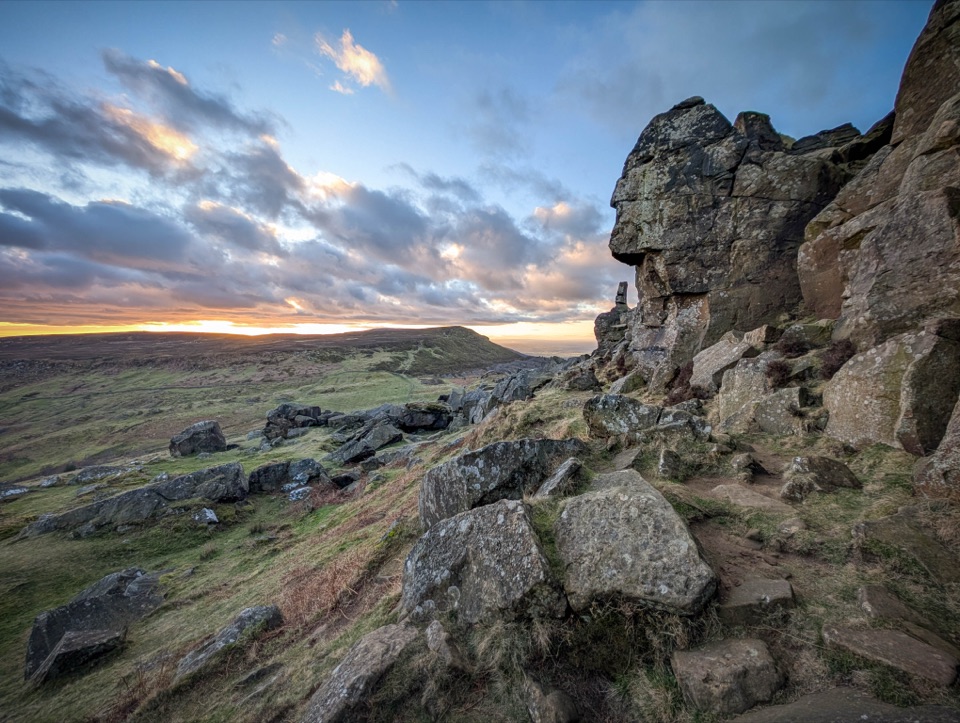 Sight · 4.7 km awayThe WainstonesSandstone pillars up a sharp climb from Clay Bank car park
 Sight · 5.5 km awayRoseberry ToppingSteep half-hour climb to a jagged summit with 360-degree Cleveland views
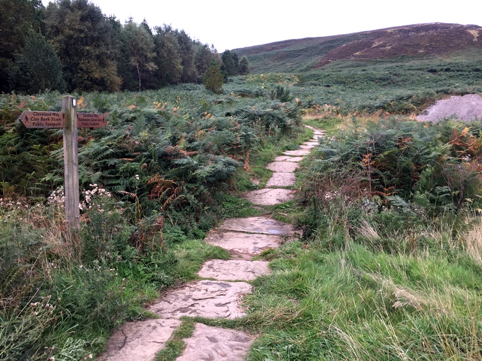 Sight · 7.6 km awayLord Stones Country ParkMoorland trailhead with cafe, camping and wide views across the plain
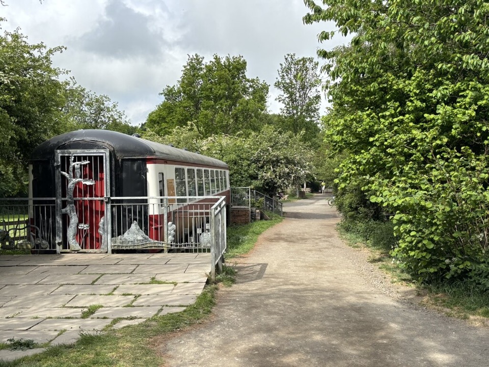 Visitor center · 8 km awayGuisborough Forest and Walkway Visitor CentreCafe, play area and sculpture trail beside a flat old railway walkway
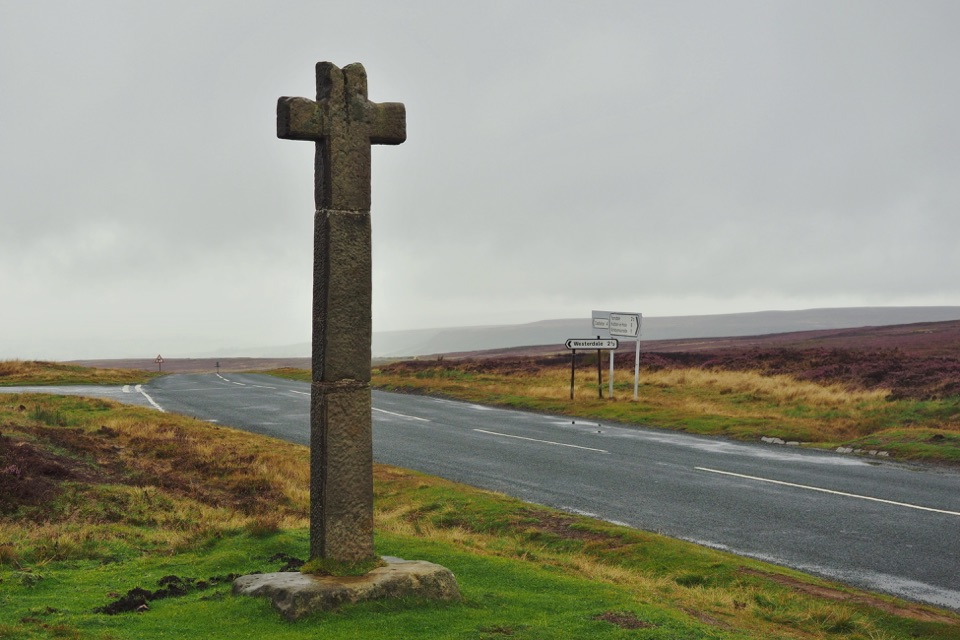 Sight · 10.2 km awayYoung Ralph CrossThe park's emblem in stone, alone on high open moorland
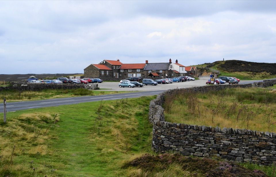 Restaurant · 11.7 km awayThe Lion Inn, Blakey RidgeOpen fires and vast moorland views at a 16th-century ridge-top freehouse
Parkwolf’s North York Moors ranking

The audio tour guide for the drive, plus offline maps, trails, and wildlife heatmaps for when the signal drops.




