Parking
There is no drive-up parking at the start: Allen’s Bay is a landing on Lake Ozette reached by watercraft. The Ozette Ranger Station is a separate access point.

Olympic National Park, WA
A rough lake-to-coast route to a remote shipwreck memorial.
Overview
Map & elevation
Plan your hike

The highest, rockiest slopes around here are a summer buffet for grizzly bears.
Olympic Tour Guide
Parkwolf is a GPS audio tour guide for Olympic National Park. As you drive, it chimes in with what’s ahead: hidden gems, upcoming stops, history, geology, and wildlife, right through your car’s speakers.
See the Olympic audio tourMore stories near here in the app
“Fantastic app with many points of information… It’s great to just turn on while you’re driving and it gives you an audio tour of the national Park. We love it!!!!”


Trail guide
Allens Bay Route is a 2.2-mile one-way point-to-point trail from Allen's Bay on Lake Ozette to the coast near the Norwegian Memorial. It is described as decommissioned and unmaintained, not a maintained day hike. Allow about three hours one way; retracing the same corridor makes it roughly 4.4 miles. I’d only plan it if you can reach Allen's Bay by water, navigate a fading path and arrange a workable return.
Allen's Bay is a lake-side landing, not a drive-up trailhead. The line heads southwest through forest to the beach. A 2017 account describes wet ground, a half-mile of thick salal that kept the hiker bent over, and three blowdowns that had to be crawled under; that 2.1-mile walk took three hours. Treat that as a warning about the route’s rough character, not a promise about today’s conditions: its current tread and landing access have not been confirmed. A pit toilet is listed at the memorial site, but no facilities were found at the lake-side start. Dogs are not allowed on Olympic National Park trails or undeveloped areas; overnight camping in the wilderness requires a permit.
The coastal destination is the Norwegian Memorial, a granite obelisk above the wreck site. The Norwegian bark Prince Arthur struck a reef on January 2, 1903; 18 of its 20 crew died, and the two survivors helped recover and bury the dead. A Norwegian community later moved the bodies to a common grave on the bluff and raised the memorial. At the shore, a tall sea stack with a tree on top makes a distinctive low-sun view.
Wildlife
 710 sightingsOlympic MarmotMost seen around 11 AMSighting map
 30 sightingsHumpback WhaleMost seen around 6 PMSighting map
 42 sightingsGrey WhaleMost seen around noonSighting map
 23 sightingsMountain LionMost seen around 8 PMSighting map
 71 sightingsMountain GoatMost seen around 7 AMSighting map
 306 sightingsBald EagleMost seen around 11 AMSighting map
Sighting maps show where each species has been reported across Olympic. Wildlife moves, so no sighting is guaranteed.
Keep exploring
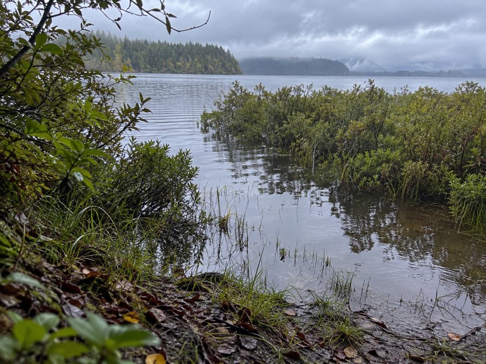 ModerateEricson's Bay Primitive Trail2 mi · 1.5 hr · 4.2 mi awayA remote, flat coast-to-lake walk on slick old boardwalk.
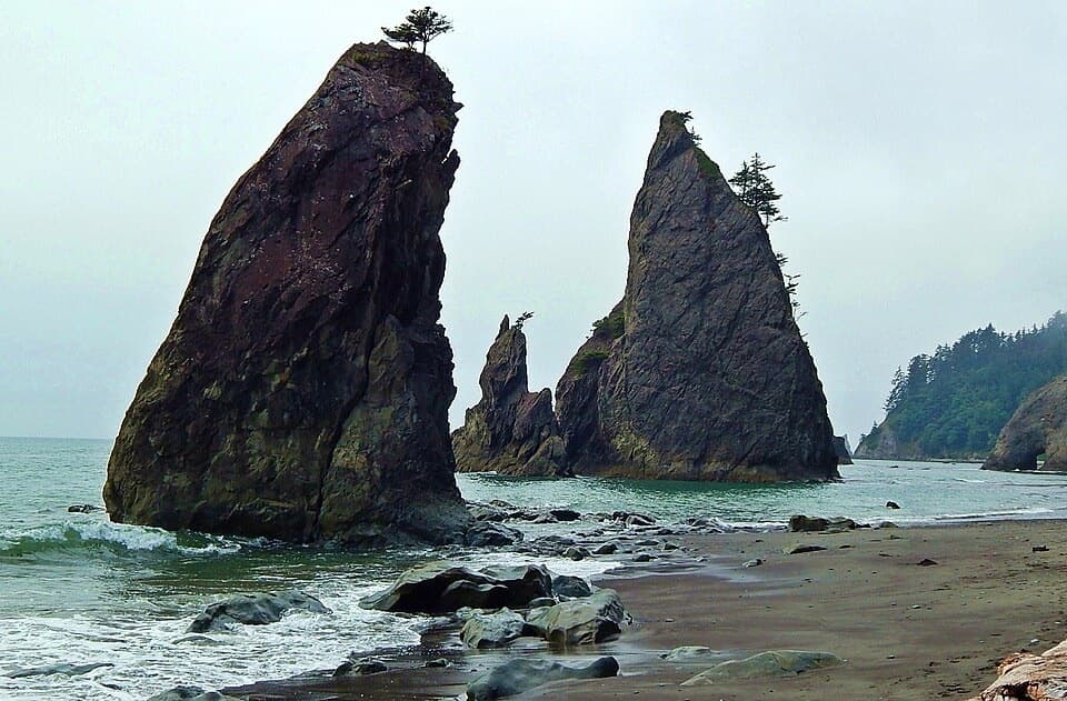 ChallengingNorth Coast Route: Sand Point to Rialto Beach17.3 mi · 13 hr · 4.9 mi awaySea stacks and shipwreck memorials, with tides setting the pace
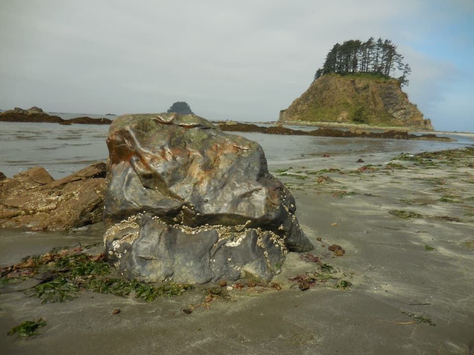 ModerateOzette Loop9.2 mi · 5 hr · 6.3 mi awayBoardwalks, tide pools, and a rugged coast on one full loop.
 ModerateCape Alava Trail6.6 mi · 4 hr · 6.3 mi awayBoardwalk, prairie, and rocky Pacific shore on a long out-and-back.
 ModerateSand Point Trail5.6 mi · 3.5 hr · 6.3 mi awayA mostly boardwalk walk to a wide Pacific beach.
 ModerateRialto Beach to Hole-in-the-Wall Trail3.3 mi · 3 hr · 9.9 mi awayA low-tide walk to tidepools, sea stacks and a rock arch
 EasyJames Pond Trail0.4 mi · 15 min · 10.4 mi awayA flat forest loop where the pond can be hard to spot
 EasyQuillayute River Slough Trail1.4 mi · 1 hr · 10.4 mi awayA mossy forest walk opens to a quiet river view
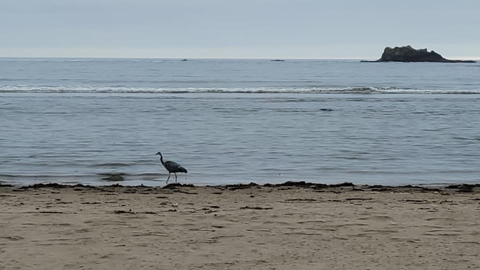 Beach · 4.9 mi awaySand PointTidepools and a sandy beach reward the long Ozette boardwalk.
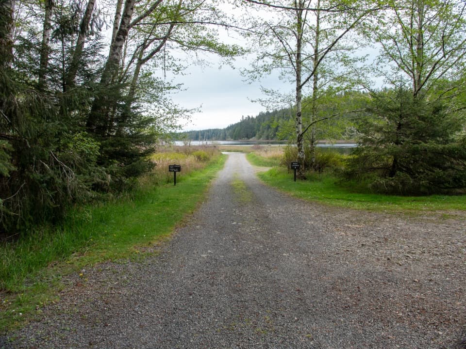 Sight · 6.2 mi awayOzette Boat LaunchA small-boat launch on a lake that can turn rough fast.
 Campground · 6.2 mi awayOzette CampgroundA small lakeside base for Ozette's coastal trailheads.
 Ranger station · 6.3 mi awayOzette Ranger StationA seasonal information stop before Ozette's coast walks.
 Lodging · 6.3 mi awayThe Lost Resort at Lake OzetteA rustic base for overnight trips to Ozette's remote coast.
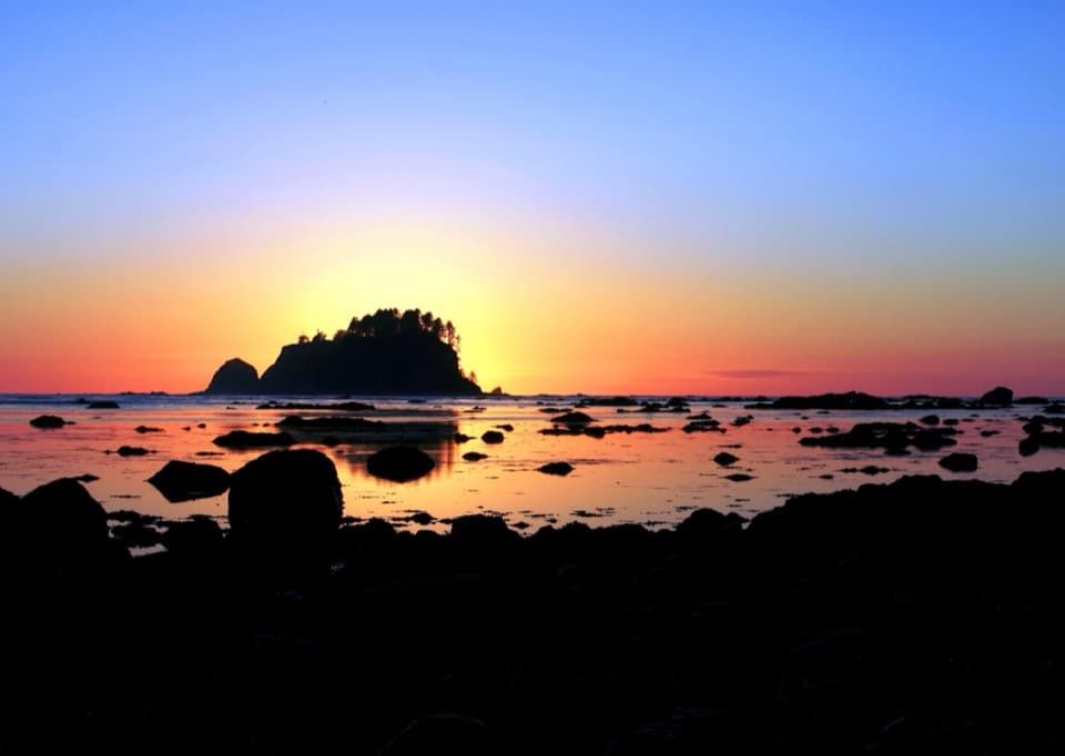 Beach · 7.7 mi awayCape AlavaA remote coast reached by boardwalk through prairie and forest.
 Sight · 8.4 mi awayHole-in-the-WallA sea arch and tide pools reached on the tide’s schedule.
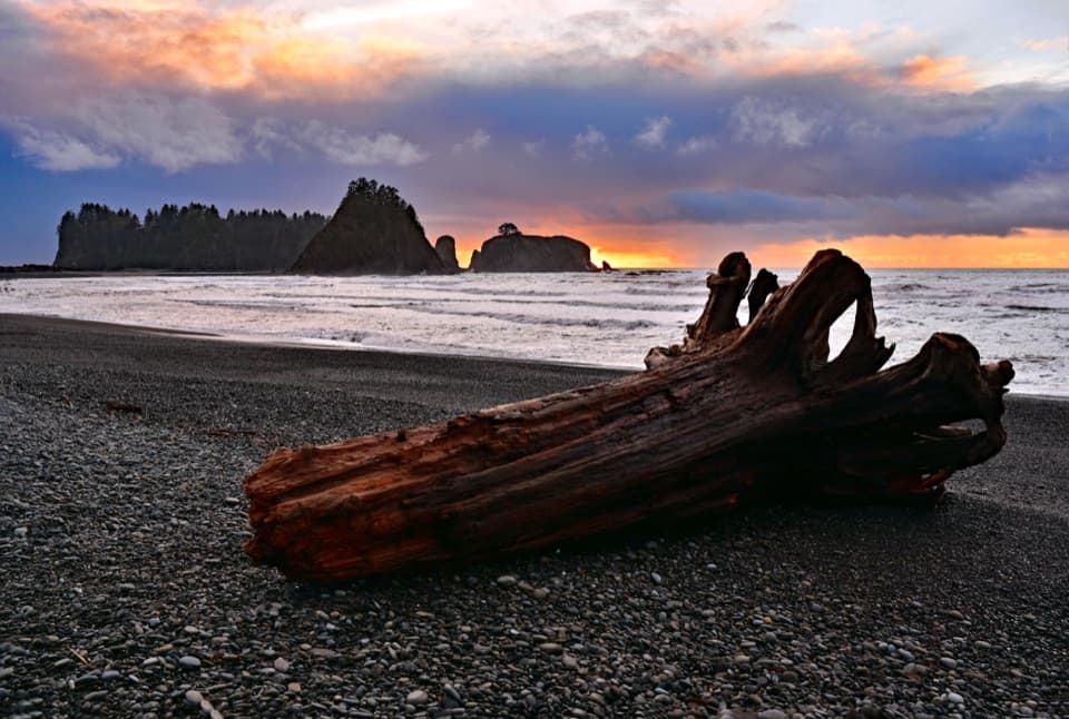 Beach · 9.9 mi awayRialto BeachSea stacks, surf and giant driftwood crowd this rugged shore.
Parkwolf’s Olympic ranking

The audio tour guide for the drive, plus offline maps, trails, and wildlife heatmaps for when the signal drops.





