
Place · 0.2 mi away
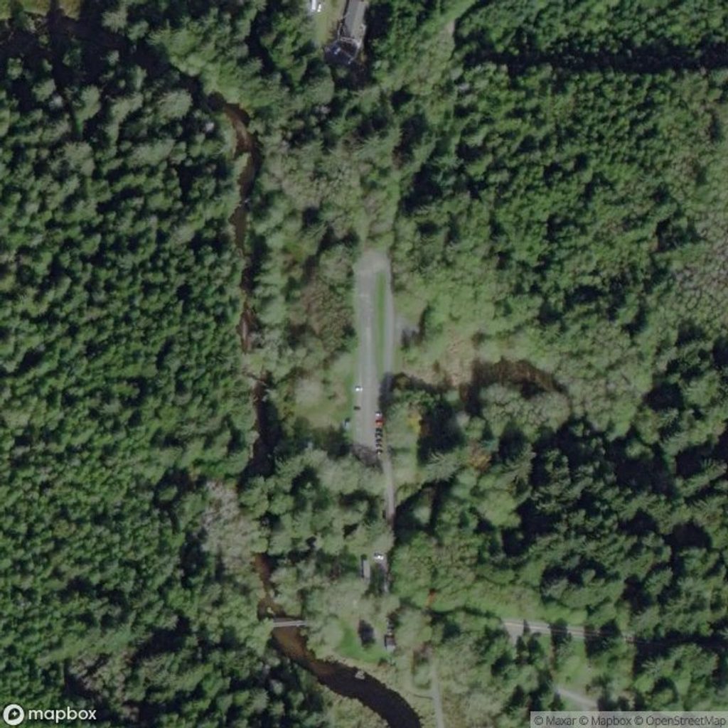
At the very end of Hoko–Ozette Road, Ozette Ranger Station is the compact hub that unlocks Olympic’s wild northwest coast. It’s less developed and often quieter than the park’s marquee areas, but that’s the charm—this is where you come for big coastal scenery, solitude, and a straight shot to the ocean.
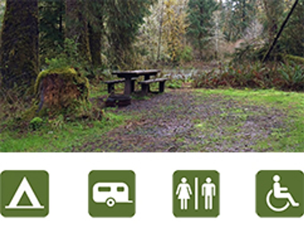
The station sits beside Lake Ozette and the Ozette Campground, with parking, an information kiosk, and a public dock on the lake a short walk away. When staffed (typically summer), rangers can help with coastal trip planning; otherwise, expect brochures and trail info even when the building is closed.
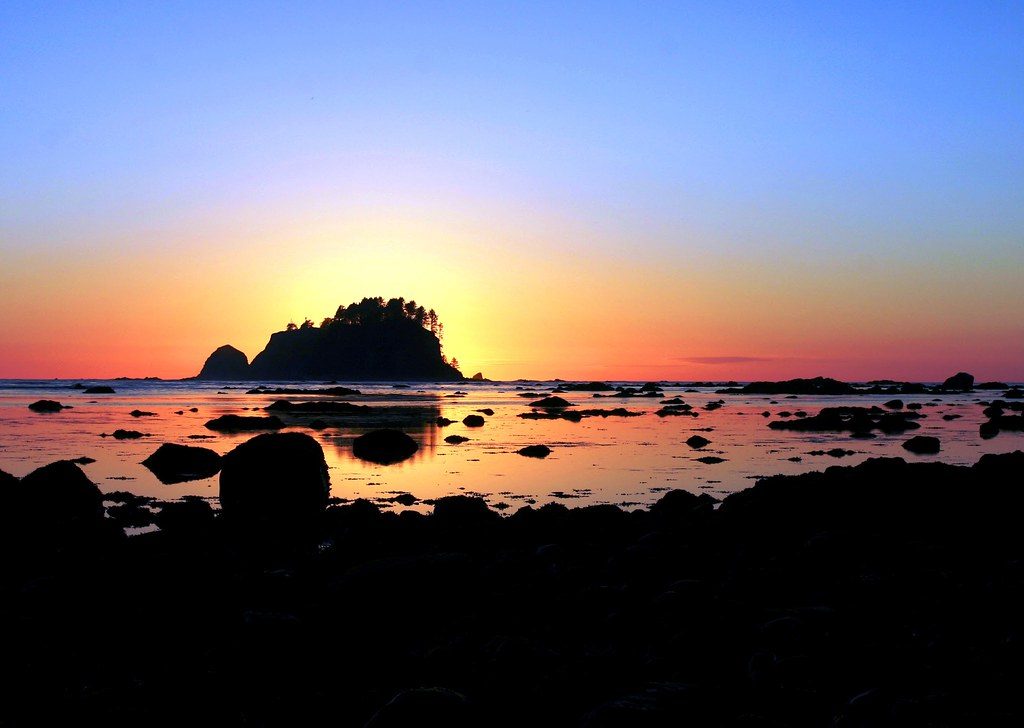
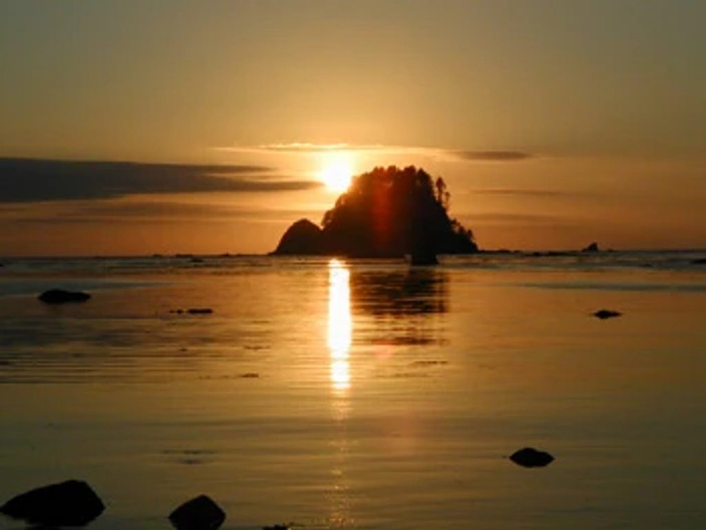
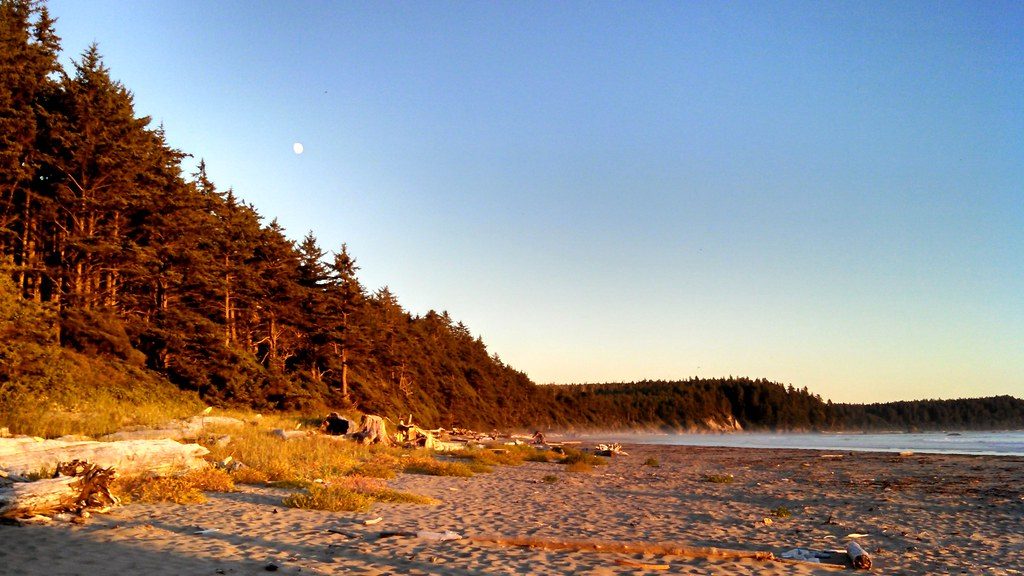
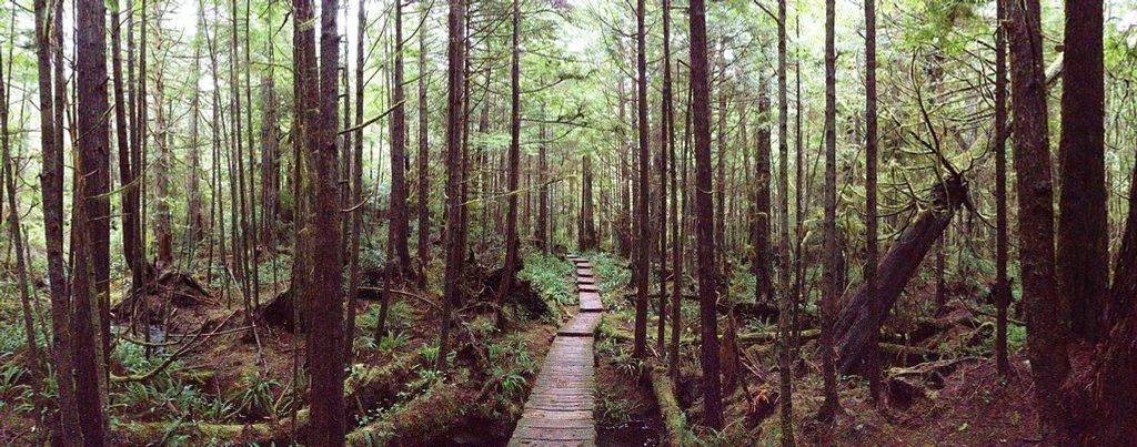
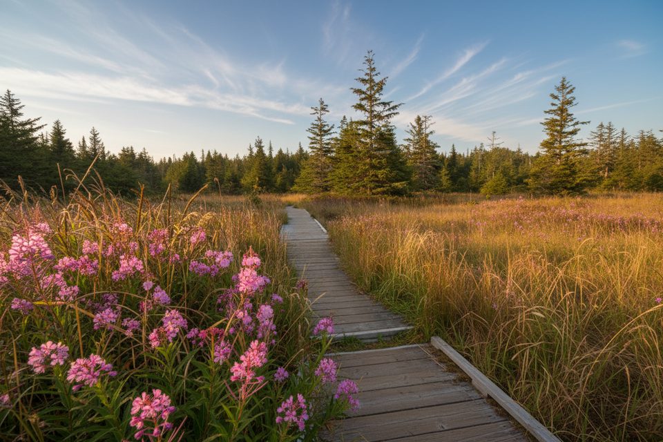
Two 3-mile boardwalk trails fan out from behind the station to the coast: north to Cape Alava and south to Sand Point. Link them with a 3-mile beach walk for the classic Ozette Triangle (about 9.4 miles). It’s a greatest-hits sampler of rainforest, wetlands, tidepools, sea stacks, and surf.
Out on the beach you may spot harbor seals and, in migration periods, gray whales cruising past. Shorebirds and bald eagles are regulars overhead, while the forests and wetlands harbor deer, otters, and amphibians. Bring binoculars if you’ve got them.
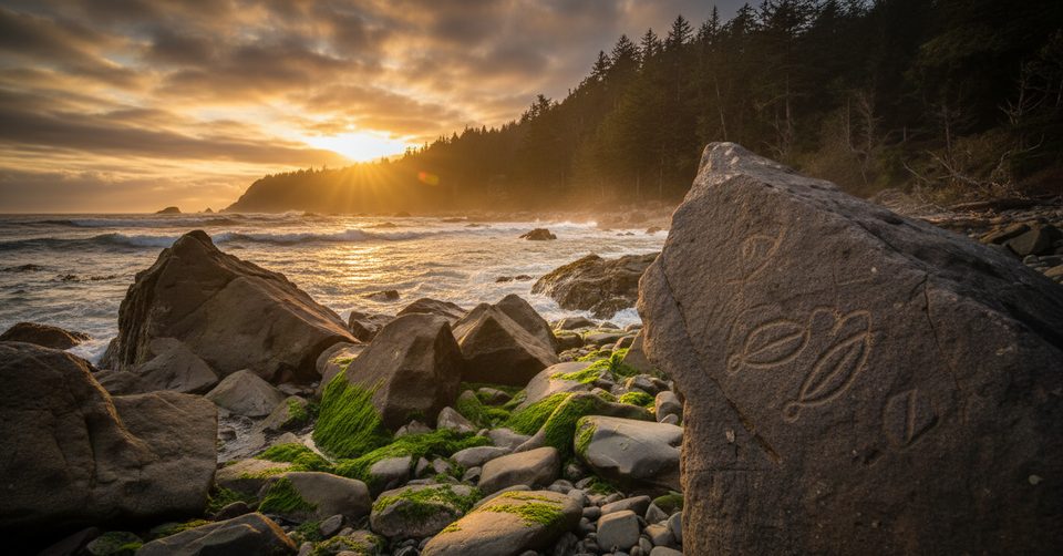
This coastline carries deep Indigenous history. A mudslide preserved a centuries-old village site near Ozette, yielding tens of thousands of artifacts that now live at the Makah Cultural and Research Center in Neah Bay—a powerful add-on if you’re exploring the area’s heritage.
Overnight coastal trips require backcountry permits, and bear canisters are mandatory. Tide tables are not optional—some sections are impassable at high tide. Expect wet, buggy conditions in summer and slippery boardwalks year-round. In winter, services are minimal (pit toilets; water may be unavailable).
Late spring through early fall is most reliable for staffing and trail conditions. The Ozette Triangle is popular but still feels far from the crowds; weekdays tend to be quieter. Time beach sections to low tide for safe travel and the best tidepooling; shoulder seasons offer extra solitude if you’re prepared for rain and chill.
Place · 0.2 mi away
Place · 2.4 mi away
Place · 2.8 mi away
Place · 3 mi away
Moderate · 0 mi away
Easy · 0 mi away
Easy · 0 mi away
Easy · 0 mi away

Parkwolf Tour Guide
