Curry Hammock State Park Beach and Day-Use Area in Overseas Highway

Beach · Overseas Highway

Curry Hammock State Park Beach and Day-Use Area

A 1,200-foot Keys beach with a one-hour mangrove paddle.

Photo: Wikimedia Commons
Type
Beach
Nearest trail
1.1 mi
Audio stories
4 nearby
  • Parking
  • Restrooms
  • Picnic tables

Hear the audio tour

Curry Hammock: Beach, Mangrove Paddle and Hawks

Overview

About Curry Hammock State Park Beach and Day-Use Area

Why stop

  • Picnic pavilions and grills make a proper beach lunch easy.

Map

Where it is

Loading the Overseas Highway map
Full map
BeachCurry Hammock State Park Beach and Day-Use Area24.74097, -80.98032
Keep this map with you offline in the Parkwolf app

Plan your stop

Before you go

Picnic and beach rules

Four pavilions sit by the southeast end of the beach, each with two grills and four tables. Other picnic tables are spread around the day-use area. Pavilion 1 is accessible, and unreserved shelters are first come, first served. The day-use restroom has an outdoor cold-water shower; the campground's hot showers are separate and fee-based. No food concession is listed for this stop, so bring a picnic or eat elsewhere. Dogs are not allowed on the beach, in the water or in bathhouses.

3 active Overseas Highway alerts

  • CautionCoastal flooding across the Florida KeysMentions Florida Keys, referenced in this guideA Coastal Flood Warning remains in effect for the Upper Keys and Coastal Flood Advisories remain in effect for the Middle and Lower Keys until 5 a.m.Official details
  • CautionNighttime lane closures on Seven Mile BridgeExpect possible nighttime lane closures on Seven Mile Bridge for FDOT’s rehabilitation project to repair and strengthen the bridge.Official details
See all 3 alerts
A park ranger sits on a dash-mounted phone, talking, as Parkwolf’s Tour Guide plays “Army Cutworm Moths: A Grizzly Bear Buffet” on Grand Loop Road below Dunraven Pass in Yellowstone
Parkwolf Tour GuideThe highest, rockiest slopes around here are a summer buffet for grizzly bears.

Overseas Highway Tour Guide

Your drive to Curry Hammock State Park Beach and Day-Use Area, narrated.

Parkwolf is a GPS audio tour guide for Overseas Highway. As you drive, it chimes in with what’s ahead: hidden gems, upcoming stops, history, geology, and wildlife, right through your car’s speakers.

See the Overseas Highway audio tour

Recorded for this place

Curry Hammock: Beach, Mangrove Paddle and Hawks
0:00 / 0:35
“Curry Hammock's beach and day-use area is ahead, with Atlantic sand, picnic pavilions and a kayak launch together. I'd stop for a beach picnic or the hour-long paddle around Little Crawl Key.”

Plays as you drive up to Curry Hammock State Park Beach and Day-Use Area in the Parkwolf Overseas Highway Tour Guide.

More stories near here in the app

  • Curry Hammock Nature Trail: Forest and Bay
  • A Disguise That Moves
  • Coco Plum Beach: A Short Shoreline Break
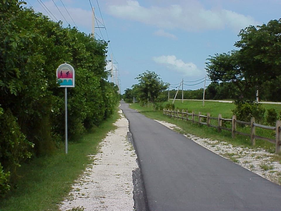
  • Grassy Key Trail: A Paved Salt-Pond Ride
  • 136 audio storiesacross Overseas Highway’s roads, triggered by GPS as you drive
  • Wildlife heatmapsfor Crocodile, Alligator, Manatee, and 13 more
  • Works offlinemaps, 26 trails, 88 places, and audio download before you lose signal
  • CarPlay readysimple controls built for the drive
★★★★★
“Fantastic app with many points of information… It’s great to just turn on while you’re driving and it gives you an audio tour of the national Park. We love it!!!!”
JMJamesApp Store review
Download Parkwolf on the App StoreGet Parkwolf on Google Play

4.7 from 8,600+ ratings

Guide

More about Curry Hammock State Park Beach and Day-Use Area

A beach stop with a paddle next doorThis is Curry Hammock's main Atlantic beach and picnic area on Little Crawl Key: about 1,200…

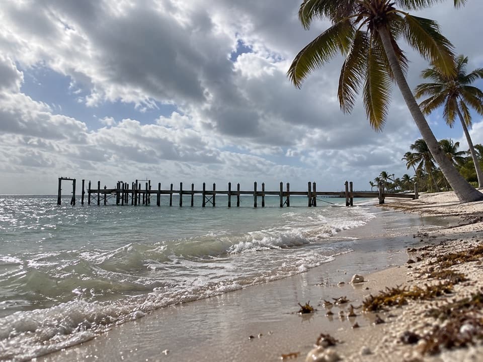
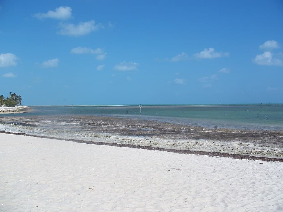
This is Curry Hammock's main Atlantic beach and picnic area on Little Crawl Key: about 1,200 feet of sand beside a kayak and paddleboard launch. Stop for a swim or lunch by the water, or make it longer with a paddle around the island. The lot is limited and there is no overflow parking; the park stops admitting cars when it fills.

Know the waterThe shoreline fronts shallow seagrass flats, with generally gentle water in the marked swimming…

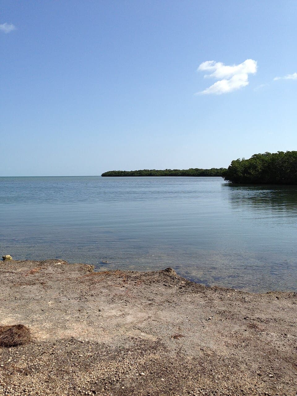
The shoreline fronts shallow seagrass flats, with generally gentle water in the marked swimming area and deeper water to the east near the kayak launch. Those flats are nursery habitat for many Florida Keys marine species. The park posts beach flags because swimming conditions change, so check them before heading in. For a photo, include the pale sand and band of shallow flats; a frame of open water alone misses what makes this shoreline different.

Paddle around Little Crawl KeyThe short loop is about 1.5 miles and takes roughly an hour.

The short loop is about 1.5 miles and takes roughly an hour. It passes a mangrove tunnel, lagoon, seagrass flats, sandbars and open water. At very low tide the tunnel may be too shallow to pass; the park points paddlers to a sandbar just east of the launch as an alternative. You can launch your own kayak or paddleboard here, and rentals are listed through the ranger station; check availability before planning around them.

The hammock above the shoreCurry Hammock's higher ground is built from fossilized coral that formed underwater.

Curry Hammock's higher ground is built from fossilized coral that formed underwater. That old reef rock lifts the tropical hardwood hammock's roots above the saltwater, a useful clue to how these low islands support dense forest. The beach is one part of a park that also protects this unusual hammock landscape.

How Curry Hammock got its nameFlorida made Curry Hammock a state park in 1991.

Florida made Curry Hammock a state park in 1991. It is named for Lamar Louise Curry, a Miami teacher whose father, Thomas, bought substantial land across the Middle and Upper Keys.

A bottleneck for fall raptorsThe Middle Keys narrow to roughly a kilometer here, funnelling southbound birds of prey through…

The Middle Keys narrow to roughly a kilometer here, funnelling southbound birds of prey through the area. Curry Hammock is one of the Keys' main hawkwatch sites. On October 10, 2012, observers counted 651 Peregrine Falcons in one day; that fall's season total was 3,836. The park's strongest monitoring window runs from mid-September through October, so a fall visit can add migration watching to the beach stop.

Wildlife

Wildlife in Overseas Highway

All Overseas Highway wildlife maps

Sighting maps show where each species has been reported across Overseas Highway. Wildlife moves, so no sighting is guaranteed.

Parkwolf’s Overseas Highway ranking

Top sights in Overseas Highway

All 88 places
  1. 1Old Seven Mile BridgeSight
  2. 2Southernmost Point BuoySight
  3. 3Mallory SquareSight
  4. 4Calusa BeachBeach
  5. 5Ernest Hemingway Home and MuseumSight
  6. 6Robbie’s of IslamoradaSight

Take Parkwolf to Overseas Highway.

The audio tour guide for the drive, plus offline maps, trails, and wildlife heatmaps for when the signal drops.

4.7 from 8,600+ ratings

Download Parkwolf on the App StoreGet Parkwolf on Google Play