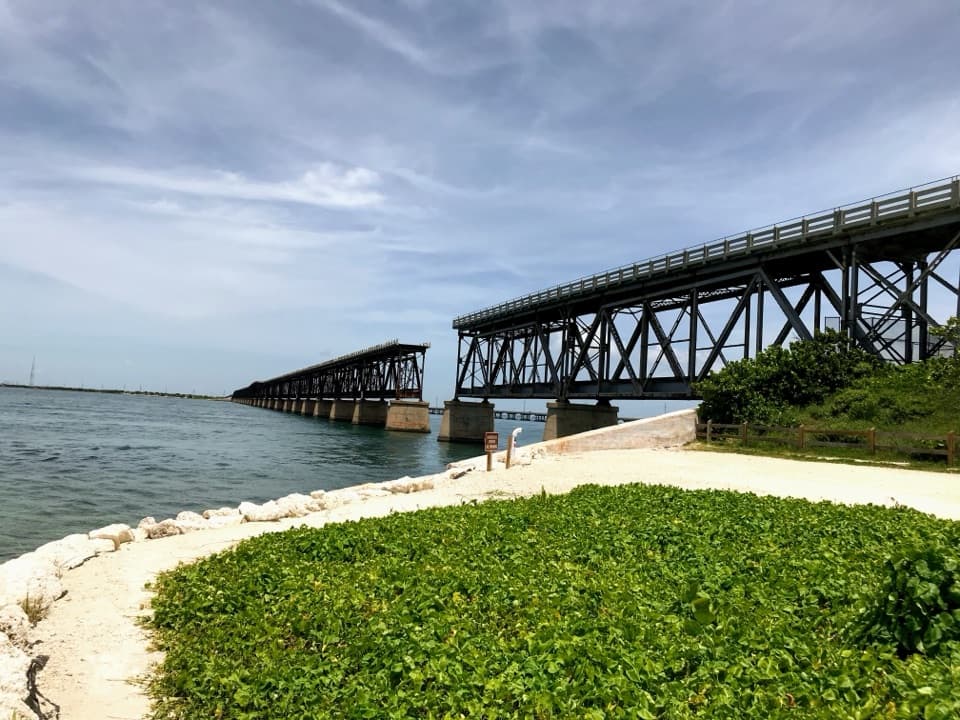
Parking
Use the bayside Key Vaca Wayside parking area for the full route. The shorter south access is the Grassy Key trailhead, about 0.8 mile south of Curry Hammock State Park’s main entrance; state-park day-use parking is across US 1.
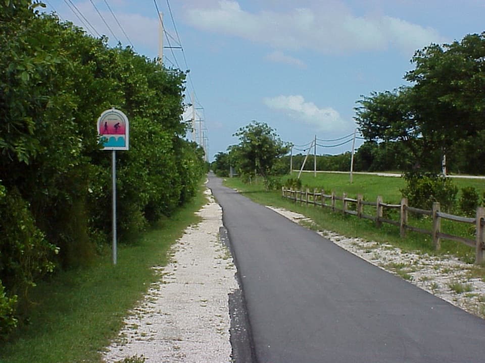
Overseas Highway, FL
A flat paved route to mangrove-lined salt ponds, best by bike.
Overview
Map & elevation
Plan your hike

The highest, rockiest slopes around here are a summer buffet for grizzly bears.
Overseas Highway Tour Guide
Parkwolf is a GPS audio tour guide for Overseas Highway. As you drive, it chimes in with what’s ahead: hidden gems, upcoming stops, history, geology, and wildlife, right through your car’s speakers.
See the Overseas Highway audio tourRecorded for this trailhead
Grassy Key Trail: A Paved Salt-Pond Ride“Up ahead is Key Vaca Wayside, the start of the full Grassy Key Trail. I'd choose this flat paved route for a bike ride to the mangrove-lined salt ponds, since there's very little shade.”
Plays as you drive up to this trailhead in the Parkwolf Overseas Highway Tour Guide.
More stories near here in the app
“Fantastic app with many points of information… It’s great to just turn on while you’re driving and it gives you an audio tour of the national Park. We love it!!!!”


Trail guide
Grassy Key Trail is a 4.4-mile paved point-to-point section of the Florida Keys Overseas Heritage Trail. It runs north from Key Vaca Wayside to where the pavement ends just beyond Guava Avenue. The path is nearly level and easy to follow, with tropical forest and later views over mangrove-lined salt ponds. Allow about 1½–2 hours to walk it one way; retrace the route for an 8.8-mile round trip or arrange a ride at the north end.
The route follows a straight bike path beneath a power-line corridor. US 1 stays in sight early on; farther north, trees line the path and screen some road noise and wind. There is almost no shade apart from one small rest stop. The paved surface makes this an easy walk, but the distance and exposure make it a better bike ride for many visitors.
North of Kyle Avenue, a bench and established access point look across pale, chalky tidal rock barrens toward mangrove-lined salt ponds. The pale rock makes a useful foreground if you stop for a photo. Just beyond Guava Avenue the pavement ends abruptly. Stop there; the wider bike route continues by a different connection to US 1, but the unpaved woods beyond are not part of this trail.
Key Vaca Wayside is the starting access for the full route. For a shorter walk, start at the separate Grassy Key trailhead south of Curry Hammock State Park and walk about 3.1 miles each way to the paved end. A small rest stop with benches and a habitat kiosk sits near that access; the Curry Hammock Nature Trail kiosk nearby marks a different, rougher hike. Restrooms and picnic facilities are across US 1 in the state-park day-use area, not on this route. Leashed dogs are allowed. Mosquitoes can be intense, and poisonwood grows along the path; its sap can irritate skin, so leave the trees alone.
Wildlife
 18 sightingsCrocodileMost seen around 6 PMSighting map
 255 sightingsAlligatorMost seen around 6 PMSighting map
 55 sightingsManateeMost seen around 7 AMSighting map
 70 sightingsCommon Bottlenose DolphinMost seen around 9 AMSighting map
 51 sightingsBald EagleMost seen around 8 AMSighting map
 1,120 sightingsKey DeerMost seen around 6 PMSighting map
Sighting maps show where each species has been reported across Overseas Highway. Wildlife moves, so no sighting is guaranteed.
Keep exploring
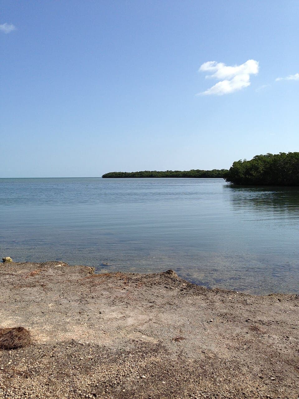 ModerateCurry Hammock Nature Trail1.7 mi · 1.3 hr · 1.4 mi awayRocky hammock paths lead to a low bench beside Florida Bay.
 EasyOld Seven Mile Bridge4.4 mi · 2.5 hr · 6.9 mi awayWalk the old rail bridge over open water to Pigeon Key.
 EasyGolden Orb Nature Trail1.1 mi · 1 hr · 13.5 mi awayMangrove shade, tidal flats, and Atlantic shore in one easy loop.
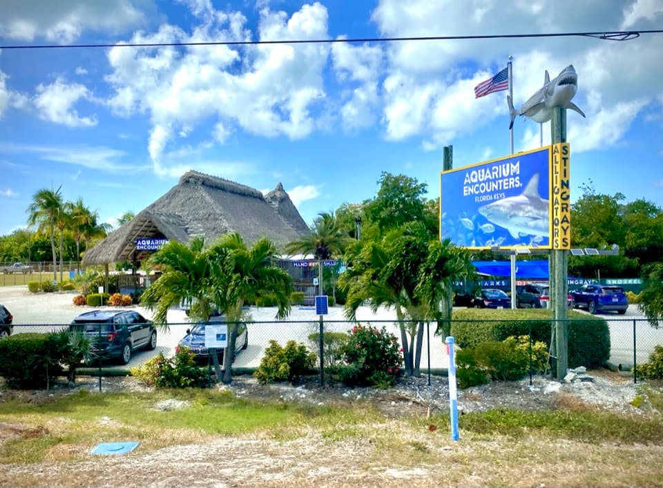 Sight · 0.8 mi awayFlorida Keys Aquarium EncountersFeed stingrays, watch shark feedings, or snorkel a huge reef tank.
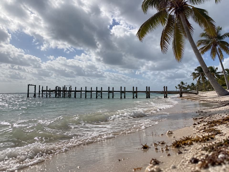 Beach · 1 mi awayCoco Plum BeachA natural Atlantic beach with wetland behind it and nesting turtles.
 Campground · 2.3 mi awayCurry Hammock State Park CampgroundA 28-site coastal base for RVs, tents, and paddling.
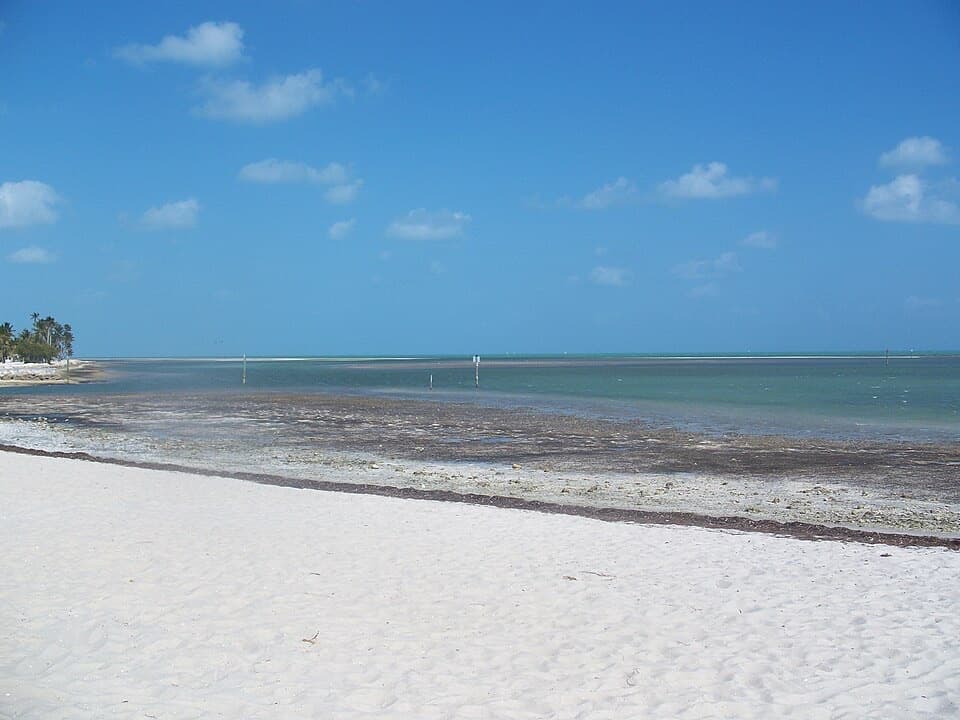 Beach · 2.4 mi awayCurry Hammock State Park Beach and Day-Use AreaA 1,200-foot Keys beach with a one-hour mangrove paddle.
 Sight · 3.8 mi awayCrane Point Museum and Nature CenterHistory, birds and a fish pedicure in a shady Keys hammock.
 Beach · 5.1 mi awaySombrero BeachA small beach with showers, shady picnic spots and volleyball.
 Sight · 5.1 mi awayDolphin Research CenterSee dolphin care and behavior research on a walk around lagoons.
 Sight · 6.9 mi awayOld Seven Mile BridgeAn exposed 2.2-mile walk above the water to Pigeon Key.
Parkwolf’s Overseas Highway ranking

The audio tour guide for the drive, plus offline maps, trails, and wildlife heatmaps for when the signal drops.