Parking
Use the Old Seven Mile Bridge parking area off Knights Key Boulevard at the Marathon end; it holds about 35 vehicles. The bridge entrance is a short walk from the lot.

#1 of 26 trails in Overseas Highway
Overseas Highway, FL
Walk the old rail bridge over open water to Pigeon Key.
Overview
Old Seven Mile Bridge is a paved out-and-back across open water from Marathon to Pigeon Key. You walk a restored part of Henry Flagler’s Overseas Railway span, with the modern Seven Mile Bridge running alongside it. If you want a long, flat walk with water on both sides and a clear destination, this is a good fit. The commitment is the return: published descriptions call the crossing either 2 or 2.2 miles one way. Plan for 4.4 miles round trip and about 2 to 3 hours for walking and stops. The mapped bridge corridor is about 2 miles each way, so the longer planning distance leaves room for the access at both ends.
 Parkwolf’s verdictWhy this one is different
Map & elevation
Plan your hike

The highest, rockiest slopes around here are a summer buffet for grizzly bears.
Overseas Highway Tour Guide
Parkwolf is a GPS audio tour guide for Overseas Highway. As you drive, it chimes in with what’s ahead: hidden gems, upcoming stops, history, geology, and wildlife, right through your car’s speakers.
See the Overseas Highway audio tourRecorded for this trailhead
Old Seven Mile Bridge and Pigeon Key“You're approaching the Marathon entrance to Old Seven Mile Bridge. Walk out for water on both sides and a view of the newer highway bridge alongside the old railroad span.”
Plays as you drive up to this trailhead in the Parkwolf Overseas Highway Tour Guide.
More stories near here in the app
“Fantastic app with many points of information… It’s great to just turn on while you’re driving and it gives you an audio tour of the national Park. We love it!!!!”


Trail guide
Use the Old Seven Mile Bridge parking area off Knights Key Boulevard on the Marathon end. It has space for about 35 vehicles, and the bridge entrance is a short walk from the lot. Follow the pedestrian span west across the water to Pigeon Key, then come back the same way. The map draws the bridge corridor once; your distance includes the return. Don't continue along the apparent old bridge beyond Pigeon Key as though it were a through-route. The restored public walk ends at the island approach. Entering Pigeon Key is a separate visit with its own admission and access arrangements, so check those before planning to go beyond the bridge landing.
The old and new bridges run nearly east to west, and the open water gives you a wide view in both directions. Look back toward Marathon to see how the two bridges track together; approaching Pigeon Key, the island's palms and historic buildings come into view at the end of the long straight span. Rays, turtles, dolphins and seabirds are possible sightings, but the elevated bridge doesn't make marine life easy to spot every time. If the light is good, frame the island with the newer bridge behind it to show the two generations of crossing in one view.
Pigeon Key was a work base for the Florida Keys railroad and once housed about 400 people building it. The bridge is one of the surviving pieces of Flagler's Overseas Railway, and the restored pedestrian access reopened in 2022 after a major rehabilitation. That history gives the crossing a destination beyond the view: you're walking to a small island that helped make the railway possible, not just to an arbitrary turnaround point.
There is little shade on the bridge, so sun and wind matter more than climbing. Carry water for the full return and take care of restroom needs in Marathon; dependable public facilities along the crossing aren't confirmed. The nearby 7 Mile Grill is a separate stop on the Marathon side, not a bridge amenity. Pets aren't allowed on Pigeon Key, but the bridge's own pet rule wasn't established, so check before bringing one. The bridge-specific pet policy is why this guide leaves the app's pet field unknown.
Wildlife
 18 sightingsCrocodileMost seen around 6 PMSighting map
 255 sightingsAlligatorMost seen around 6 PMSighting map
 55 sightingsManateeMost seen around 7 AMSighting map
 70 sightingsCommon Bottlenose DolphinMost seen around 9 AMSighting map
 51 sightingsBald EagleMost seen around 8 AMSighting map
 1,120 sightingsKey DeerMost seen around 6 PMSighting map
Sighting maps show where each species has been reported across Overseas Highway. Wildlife moves, so no sighting is guaranteed.
Keep exploring
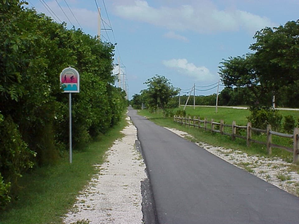 EasyGrassy Key Trail4.4 mi · 1.8 hr · 6.9 mi awayA flat paved route to mangrove-lined salt ponds, best by bike.
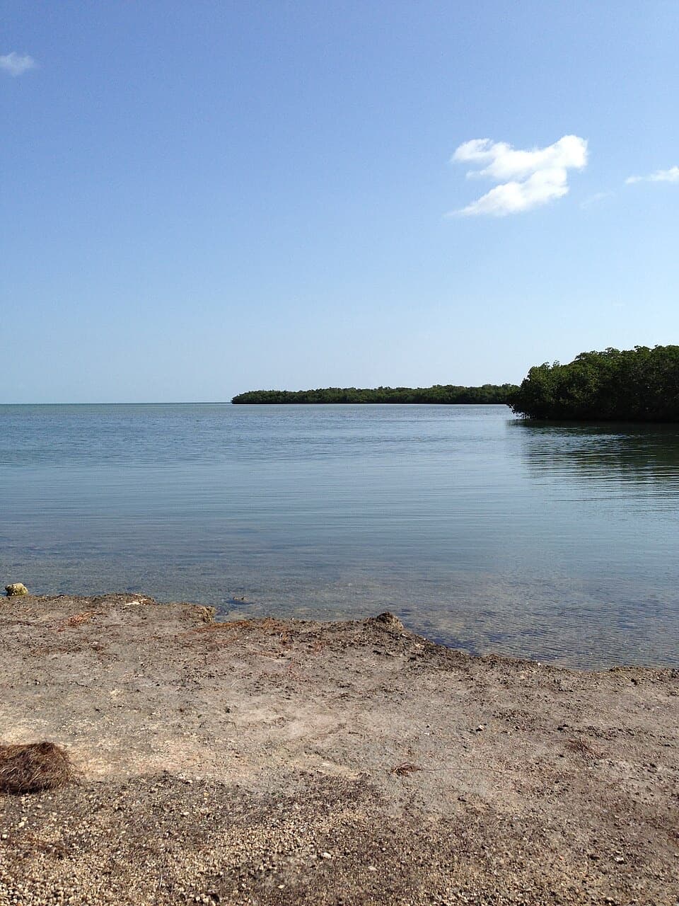 ModerateCurry Hammock Nature Trail1.7 mi · 1.3 hr · 8.4 mi awayRocky hammock paths lead to a low bench beside Florida Bay.
 EasySilver Palm Nature Trail0.1 mi · 10 min · 8.8 mi awayA quick detour for the silver-backed palm fronds
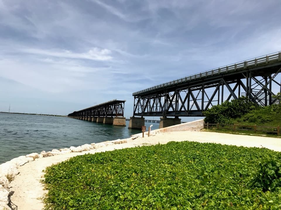 EasyOld Bahia Honda Bridge Trail0.4 mi · 30 min · 10.3 mi awayA short stair climb earns a sweeping view over the water.
 EasyParadise Drive Trail2.1 mi · 1 hr · 12.4 mi awayA flat, rustic two-mile walk through No Name Key refuge habitat.
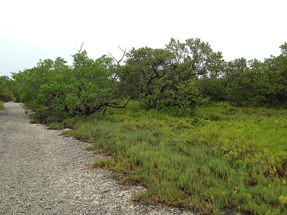 EasyLongbeach Trail2.3 mi · 1.5 hr · 13.8 mi awayTwo short spurs reach mangroves and open shoreline.
 Sight · 0.1 mi awayOld Seven Mile BridgeAn exposed 2.2-mile walk above the water to Pigeon Key.
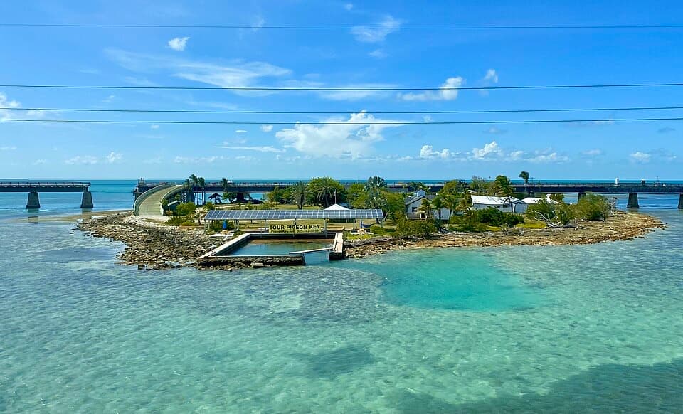 Sight · 1.9 mi awayPigeon KeyA rail village and museum tucked beneath the old Seven Mile Bridge.
 Beach · 2.7 mi awaySombrero BeachA small beach with showers, shady picnic spots and volleyball.
 Sight · 3.2 mi awayCrane Point Museum and Nature CenterHistory, birds and a fish pedicure in a shady Keys hammock.
 Sight · 4.9 mi awayFred the TreeLook for a salt-sprayed Casuarina growing out of the old bridge.
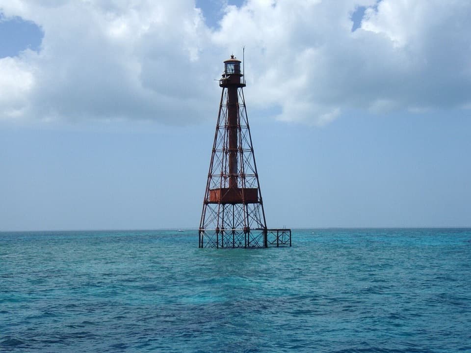 Sight · 5.6 mi awaySombrero ReefA shallow reef with a 142-foot light at its northern edge.
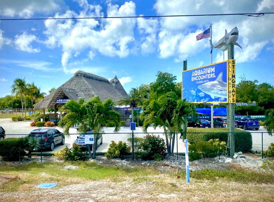 Sight · 6.1 mi awayFlorida Keys Aquarium EncountersFeed stingrays, watch shark feedings, or snorkel a huge reef tank.
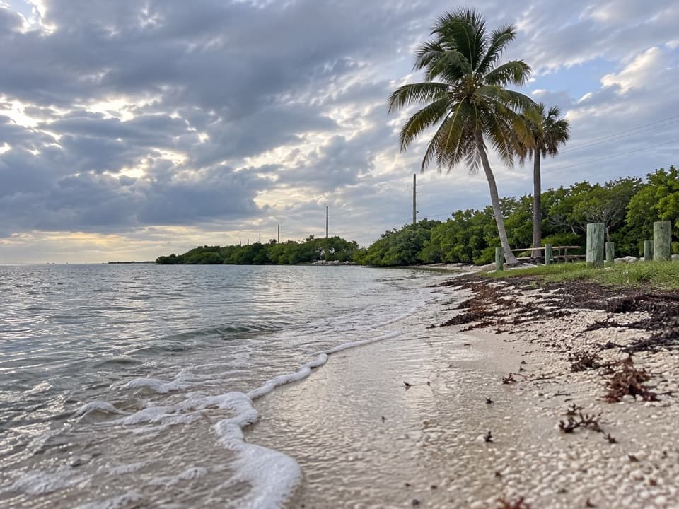 Beach · 6.9 mi awayLittle Duck Key Veterans’ Memorial BeachWalk far into shallow water with Seven Mile Bridge in view.
Parkwolf’s Overseas Highway ranking
The audio tour guide for the drive, plus offline maps, trails, and wildlife heatmaps for when the signal drops.


