Parking
Use the limited pull-off at the Dagny Johnson main entrance on County Road 905 near Mile Marker 106. The loop begins along the paved boulevard inside the gate; follow Port Bougainville signs rather than the separate Nature Trail.

#4 of 26 trails in Overseas Highway
Overseas Highway, FL
A shaded hammock walk that opens onto mangroves and tidal water.
Overview
Map & elevation
Plan your hike

The highest, rockiest slopes around here are a summer buffet for grizzly bears.
Overseas Highway Tour Guide
Parkwolf is a GPS audio tour guide for Overseas Highway. As you drive, it chimes in with what’s ahead: hidden gems, upcoming stops, history, geology, and wildlife, right through your car’s speakers.
See the Overseas Highway audio tourRecorded for this trailhead
Port Bougainville: Forest to Mangroves“Port Bougainville Trail is coming up, a walk from shady tropical forest to mangroves and quarry water.”
Plays as you drive up to this trailhead in the Parkwolf Overseas Highway Tour Guide.
More stories near here in the app
“Fantastic app with many points of information… It’s great to just turn on while you’re driving and it gives you an audio tour of the national Park. We love it!!!!”


Trail guide
Port Bougainville Trail is a 2.1-mile full loop from the main entrance, with a short paved approach before the rougher trail begins. You walk under tropical hardwood hammock, then out across coastal prairie and along a mangrove edge where quarry water opens into view. Allow about an hour and a half if you want time to stop. The grade is easy, but coral-rock, gravel and leaf litter make parts less like a smooth park path.
The first paved stretch is shared by several park walks. The short Nature Trail branches off near the start; it is a separate route, not part of this loop. The park also marks a 1.0-mile half loop, a useful choice if you want a shorter walk or the outer section is wet. Take a photo of the route map at the entrance and follow the Port Bougainville signs at each junction so you do not turn onto the Nature Trail or cut off the full loop by mistake.
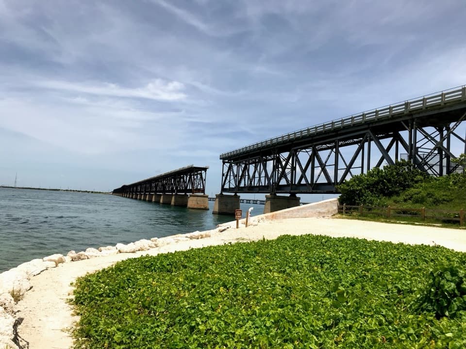
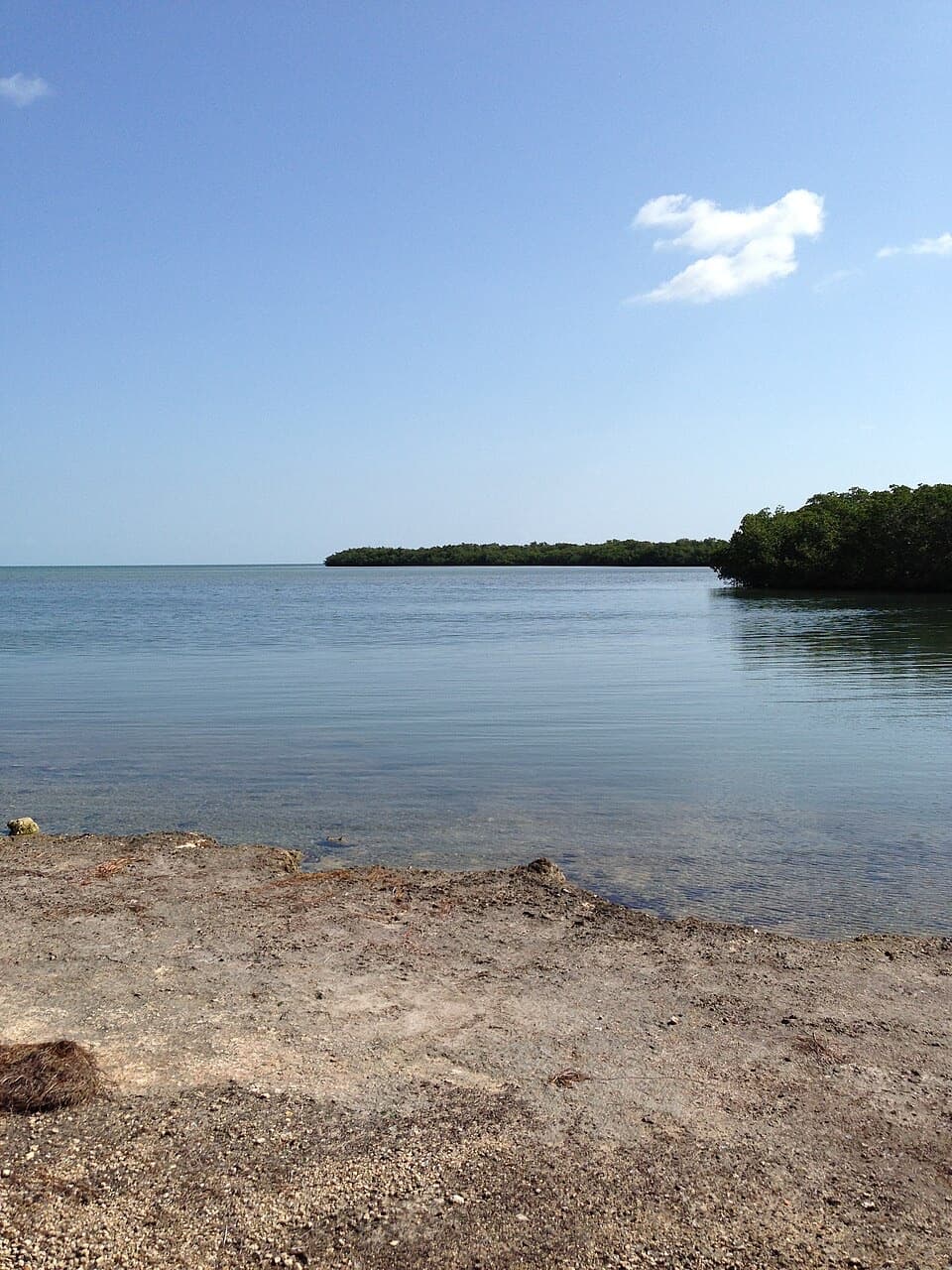
The broad, shady boulevard narrows to a rougher path of coral rock and leaf litter through the hammock. The full loop then leaves the dense trees for a rocky berm across coastal prairie and follows mangroves near the water. There is little climbing, but the footing changes underfoot and the open wetland edge feels very different from the shaded start. At the quarry shore, the water framed by limestone and tropical vegetation is the best place to pause; include the rough rock edge in a photo to give the water some scale.
The water beside the trail is tied to the Port Bougainville housing development that was planned for this land. The state acquired the parcel in the early 1980s; in 2009, a condominium structure was demolished and hundreds of black, white and red mangroves, along with salt-marsh plants, were planted as part of restoration. That mix of quarry edge, lagoon and recovering mangrove is part of what makes the loop more than a walk through trees.
This is West Indian tropical hardwood hammock, with dense shade and a rich mix of native plants. Look up for white-crowned pigeons and migrating warblers, and closer to the path for butterflies and lizards. The park also protects rare species such as the Key Largo woodrat and Schaus' swallowtail butterfly, though sightings are never guaranteed.
A composting toilet and picnic pavilion are near the entrance route, but there is no drinking water at the park and no food service. Plan water before you arrive. The posted park guidance allows pets on the separate Nature Trail only, so leave them off Port Bougainville unless staff confirms that rule has changed. Stay on marked trails; exploring beyond them requires a backcountry permit.
Wildlife
 18 sightingsCrocodileMost seen around 6 PMSighting map
 255 sightingsAlligatorMost seen around 6 PMSighting map
 55 sightingsManateeMost seen around 7 AMSighting map
 70 sightingsCommon Bottlenose DolphinMost seen around 9 AMSighting map
 51 sightingsBald EagleMost seen around 8 AMSighting map
 1,120 sightingsKey DeerMost seen around 6 PMSighting map
Sighting maps show where each species has been reported across Overseas Highway. Wildlife moves, so no sighting is guaranteed.
Keep exploring
 EasyGrove Trail0.6 mi · 20 min · 4.2 mi awayA short hammock walk to a historic fruit grove.
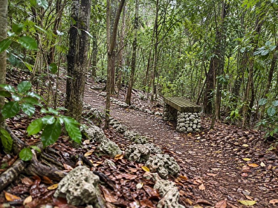 EasyWild Tamarind Trail0.4 mi · 24 min · 4.2 mi awayA short shaded loop through the Keys' tropical hammock.
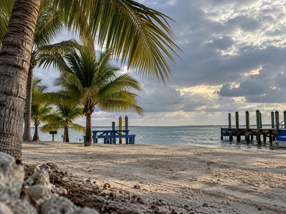 Campground · 3.3 mi awayKings Kamp RV Park and MarinaA waterfront base with a marina, small beach and sunset docks.
 Beach · 4.1 mi awayFar BeachPalm shade and a mangrove boardwalk frame this small swimming beach.
 Beach · 4.1 mi awayCannon BeachSnorkel a Spanish wreck display just off a compact Keys beach.
 Visitor center · 4.2 mi awayJohn Pennekamp Visitor Center and AquariumA reef introduction on land, with a 30,000-gallon saltwater tank.
 Campground · 4.4 mi awayJohn Pennekamp Coral Reef State Park CampgroundA full-hookup base for Key Largo's reef and paddling days.
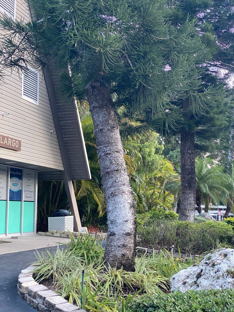 Campground · 5.2 mi awayKey Largo Kampground & MarinaA waterfront camp with marina access and mangrove routes nearby.
 Sight · 5.8 mi awayChrist of the AbyssA nine-foot bronze Christ waits beneath the water at Dry Rocks.
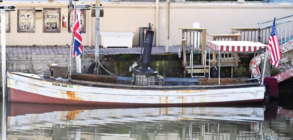 Sight · 7 mi awayThe African QueenRide a movie-famous launch through Key Largo's canals.
Parkwolf’s Overseas Highway ranking

The audio tour guide for the drive, plus offline maps, trails, and wildlife heatmaps for when the signal drops.