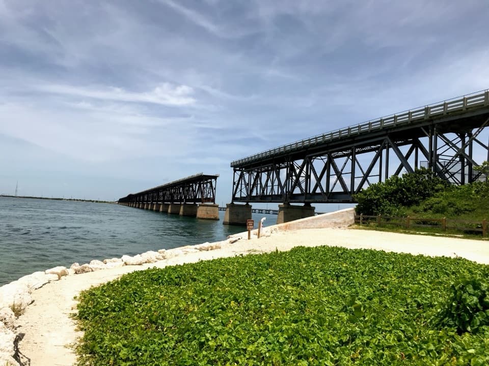
Parking
Use the main day-use lot at about Mile Marker 67.5 on US 1; park admission is required. Restrooms and refill stations are by the lot.

#5 of 26 trails in Overseas Highway
Overseas Highway, FL
Mangrove shade, tidal flats, and Atlantic shore in one easy loop.
Overview
Golden Orb Nature Trail is a 1.1-mile loop from Long Key State Park’s main parking area through hardwood hammock, mangroves, a low tidal barren and a narrow Atlantic-side ridge. Allow about an hour. It’s nearly flat, with sandy path, boardwalk and a few steps rather than a climb. I’d choose it for a short walk with a bigger range of scenery than the mileage suggests; the landscape changes with only a small rise or dip. The ocean edge is the payoff, but there’s more here than a quick look at the shore.
 Parkwolf’s verdictAn easy loop worth taking slowly
Map & elevation
Plan your hike

The highest, rockiest slopes around here are a summer buffet for grizzly bears.
Overseas Highway Tour Guide
Parkwolf is a GPS audio tour guide for Overseas Highway. As you drive, it chimes in with what’s ahead: hidden gems, upcoming stops, history, geology, and wildlife, right through your car’s speakers.
See the Overseas Highway audio tourRecorded for this trailhead
Long Key: Picnic Shore and Golden Orb Trail“Long Key State Park's day-use area is coming up, with covered picnic tables beside a shallow shoreline. Choose it for a shady lunch break or a paddle in your own kayak.”
Plays as you drive up to this trailhead in the Parkwolf Overseas Highway Tour Guide.
More stories near here in the app
“Fantastic app with many points of information… It’s great to just turn on while you’re driving and it gives you an audio tour of the national Park. We love it!!!!”


Trail guide
From the main lot, follow the boardwalk past the restrooms and through mangroves. The observation tower opens a wide view across the mangrove canopy. At the stairway, pay attention: the boardwalk straight ahead goes toward the campground. Take the stairs down to the left to stay on Golden Orb. That’s the easiest place to lose the route. Once you’re back on sand, the trail alternates between shady trees and open scrub. There are only small rises, so save time for looking around rather than trying to make pace.
The loop reaches a narrow sandy berm formed by storms, with lagoon-side mangroves on one side and the Atlantic on the other. For a stretch, the water comes into view through clumps of mangrove, and little side paths lead down to natural shoreline. This is a quiet place to stop and look at the water, not a swimming beach. If you take a photo, frame the shallow shore through the mangroves; the trees show how this skinny ridge sits between the water and the interior wetland.
Away from the berm, the route crosses a flat, open salt pan where even a few inches of elevation change support a different mix of plants. Lower spots can hold puddles with the daily high tides. Look for small fiddler-crab holes; the park notes that males wave an enlarged claw during courtship. High water can also flood the path itself. If the low section is covered, don’t count on completing the loop; check with park staff before setting out after unusually high water.
The higher, drier hammock supports tropical trees including gumbo limbo and poisonwood. White-crowned pigeons use this canopy and feed on poisonwood fruit, so look up through the leaves. Golden Orb is named for the golden silk orbweaver spider. The park says the spiders were numerous before Hurricane Irma struck in 2017 and have been rare and elusive since. The name is a piece of the trail’s story, not a promise that you’ll spot one.
Use the main day-use lot at about Mile Marker 67.5 on US 1; park admission is required. Restrooms and two refill stations are by the lot. Dogs are allowed on the trail on a hand-held leash no longer than six feet, but keep them off the beach and natural shoreline.
Wildlife
 18 sightingsCrocodileMost seen around 6 PMSighting map
 255 sightingsAlligatorMost seen around 6 PMSighting map
 55 sightingsManateeMost seen around 7 AMSighting map
 70 sightingsCommon Bottlenose DolphinMost seen around 9 AMSighting map
 51 sightingsBald EagleMost seen around 8 AMSighting map
 1,120 sightingsKey DeerMost seen around 6 PMSighting map
Sighting maps show where each species has been reported across Overseas Highway. Wildlife moves, so no sighting is guaranteed.
Keep exploring
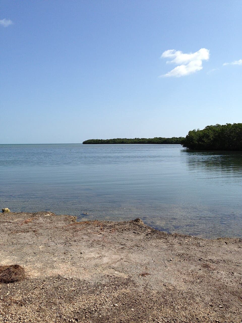 ModerateCurry Hammock Nature Trail1.7 mi · 1.3 hr · 12.1 mi awayRocky hammock paths lead to a low bench beside Florida Bay.
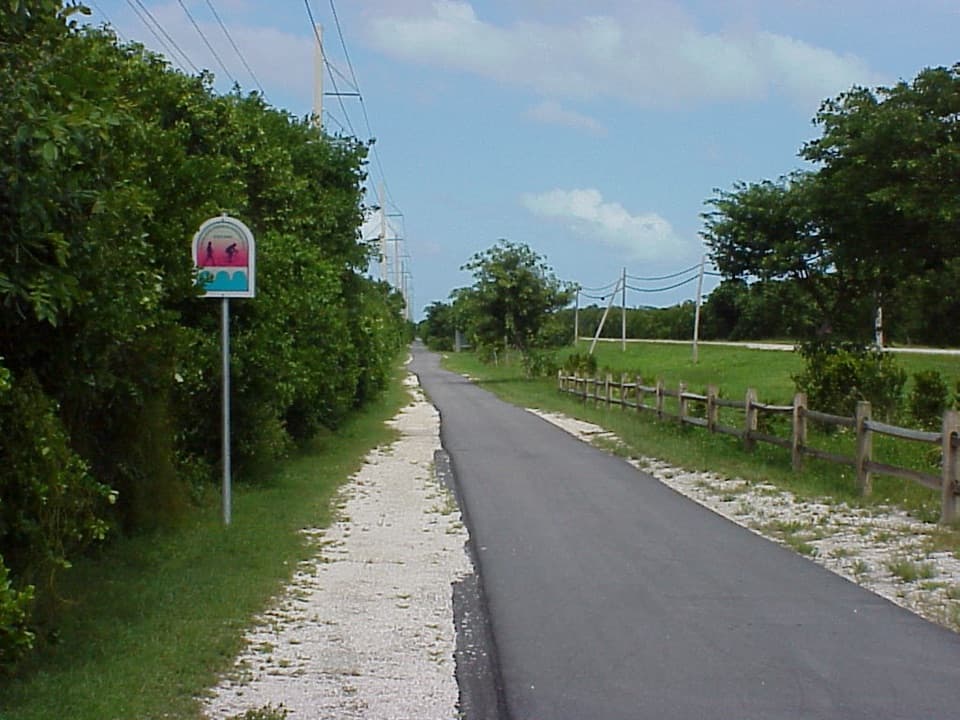 EasyGrassy Key Trail4.4 mi · 1.8 hr · 13.5 mi awayA flat paved route to mangrove-lined salt ponds, best by bike.
 Picnic area · 0.1 mi awayLong Key State Park Day-Use AreaA shaded picnic-and-paddle stop on Long Key’s shallow Florida Bay shore.
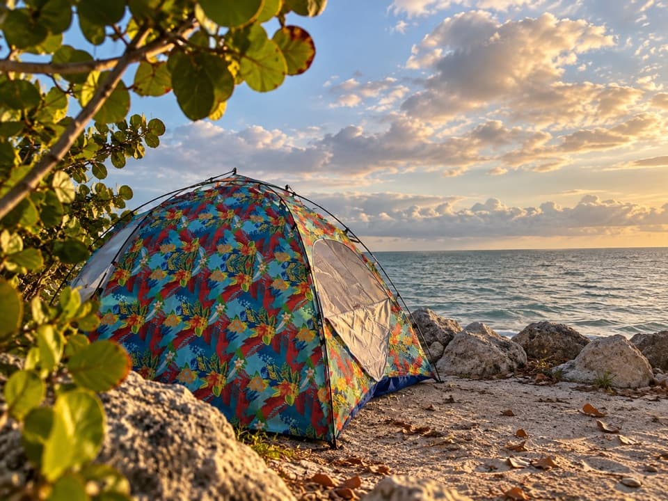 Campground · 1 mi awayLong Key State Park CampgroundWalk-in Atlantic tent sites have tables, grills and hammock stands.
 Campground · 2.7 mi awayFiesta Key RV Resort and MarinaA private island base for an RV stay beside the water.
 Beach · 5.6 mi awayAnne’s BeachMangrove boardwalk and shallow water make this an easy Keys pause.
 Sight · 8.4 mi awayDolphin Research CenterSee dolphin care and behavior research on a walk around lagoons.
 Sight · 9.5 mi awayRobbie’s of IslamoradaWatch tarpon leap at the dock, then stay for seafood.
 Sight · 9.8 mi awayLignumvitae Key Botanical State ParkA historic island home tucked into old-growth Keys hammock.
Parkwolf’s Overseas Highway ranking
The audio tour guide for the drive, plus offline maps, trails, and wildlife heatmaps for when the signal drops.