Parking
The mapped start is on Old State Road 4A near County Road 939. No designated lot or pullout was identified; confirm legal parking before you set out.
Overseas Highway, FL
Old State Road 4A makes this a rough walk into Keys history.
Overview
Lower Sugarloaf Key Trail is a 7.22-mile out-and-back along the remains of old State Road 4A. The agency's GPS route measures 3.61 miles one way; its trail catalog rounds that to 3.5 miles each way, or 7 miles round trip. Plan on about 3.5 to 4 hours. The grade is gentle, but the distance and rough, sometimes overgrown tread make this a full walk rather than a quick leg-stretcher.
 Parkwolf’s verdictIs this the hike for you?
Map & elevation
Plan your hike

The highest, rockiest slopes around here are a summer buffet for grizzly bears.
Overseas Highway Tour Guide
Parkwolf is a GPS audio tour guide for Overseas Highway. As you drive, it chimes in with what’s ahead: hidden gems, upcoming stops, history, geology, and wildlife, right through your car’s speakers.
See the Overseas Highway audio tourMore stories near here in the app
“Fantastic app with many points of information… It’s great to just turn on while you’re driving and it gives you an audio tour of the national Park. We love it!!!!”


Trail guide
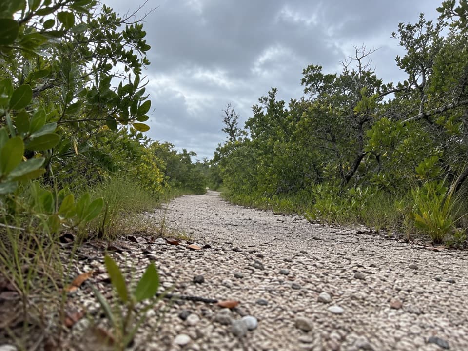
Start on Old State Road 4A and follow the marked line to its mapped end, then return the same way. The route is nearly level. The official trail map labels a mixture of asphalt and short gravel or native-material pieces, while the refuge describes uneven, rustic surfaces and warns that vegetation can cover parts. Expect changing footing instead of a smooth, uniform path.
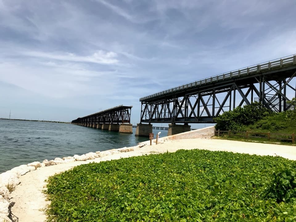
This is a trace of the first State Road 4A, built in the mid-1920s as part of the route to Key West. Locals called it “Old Bumpy” for its dusty, rocky surface. Monroe County commissioner J. Otto Kirchheiner was credited with the first mainland-to-Key West drive in 1927; the road's public opening followed in 1928.
The refuge warns that parts of its trails can flood in the rainy season. Mosquitoes can also be a seasonal nuisance, and uneven or overgrown sections can slow your pace. Bring water, sturdy shoes and sun protection; no water stop or other on-route facility was confirmed for this trail.
The National Key Deer Refuge was established to protect Key deer and other wildlife. Key deer are found only in the Lower Florida Keys, but this route isn't documented as a dependable viewing spot, so treat a sighting as a bonus.
The mapped trail starts on Old State Road 4A near County Road 939. No named parking lot or pullout was identified, so confirm where you can legally leave a vehicle before committing to the full out-and-back. Public refuge trails are open from 30 minutes before sunrise until 30 minutes after sunset. Dogs are allowed on leash, and bicycles may use this route too.
Wildlife
 18 sightingsCrocodileMost seen around 6 PMSighting map
 255 sightingsAlligatorMost seen around 6 PMSighting map
 55 sightingsManateeMost seen around 7 AMSighting map
 70 sightingsCommon Bottlenose DolphinMost seen around 9 AMSighting map
 51 sightingsBald EagleMost seen around 8 AMSighting map
 1,120 sightingsKey DeerMost seen around 6 PMSighting map
Sighting maps show where each species has been reported across Overseas Highway. Wildlife moves, so no sighting is guaranteed.
Keep exploring
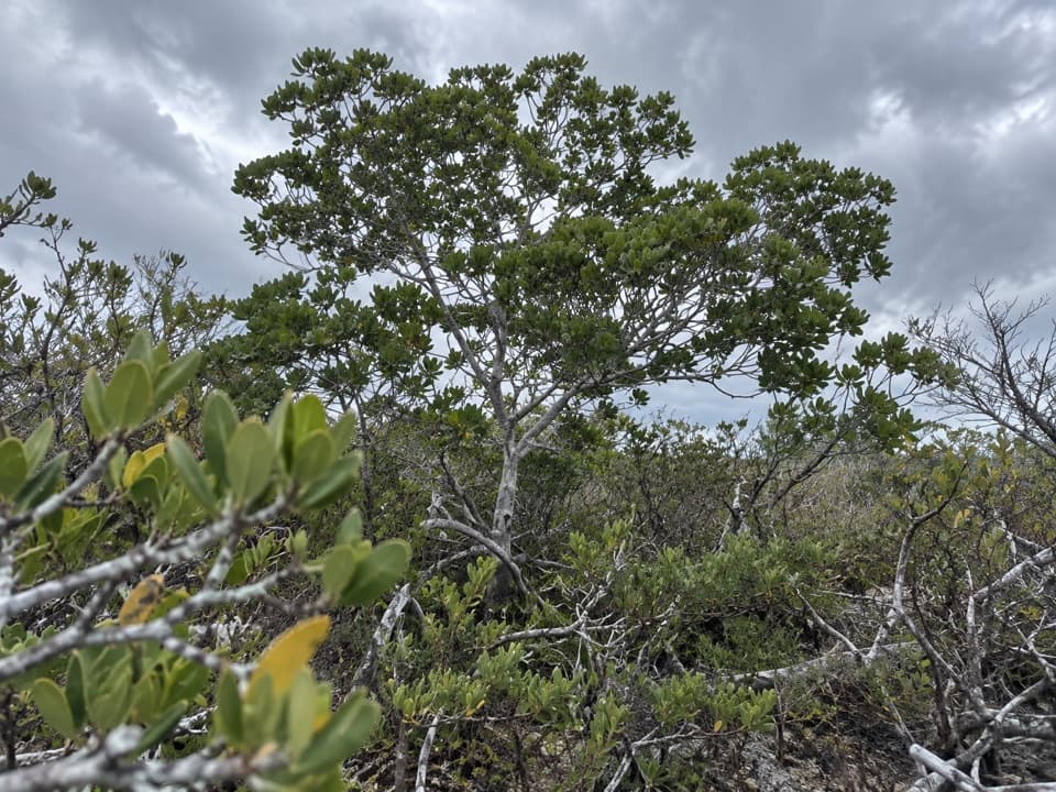 EasyUpper Sugarloaf Key Trail3.3 mi · 1.8 hr · 5.8 mi awayA simple paved walk into Key deer refuge country.
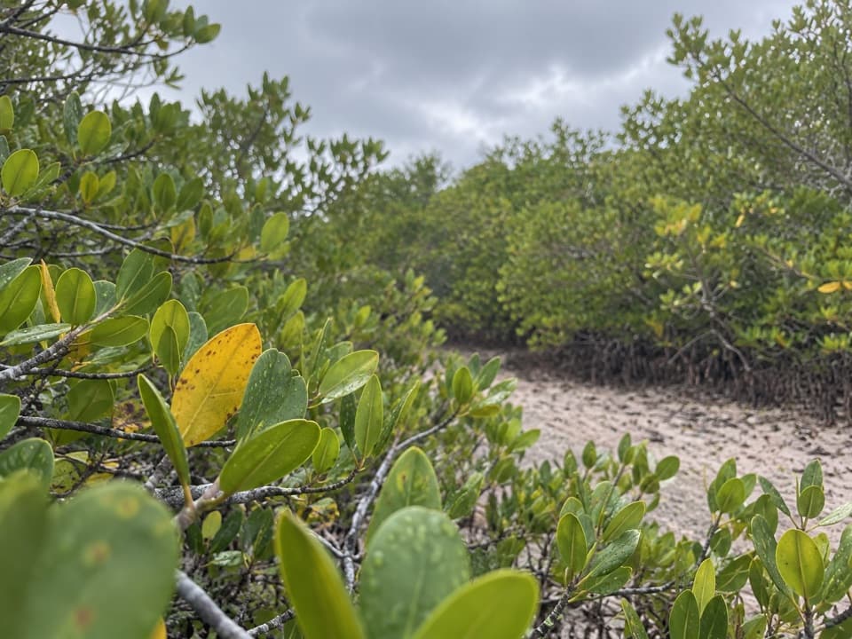 EasyNiles Trail0.3 mi · 15 min · 10.6 mi awayA quick mangrove walk to a water view toward Torch Keys.
 EasyLittle Hamaca Nature Trail0.4 mi · 24 min · 11.6 mi awayBoardwalk through mangroves to the old salt ponds and canal.
 EasyMannillo Trail0.3 mi · 15 min · 14.8 mi awayA short limestone path to a wetland deck in pine rockland.
 EasyWatson Trail0.8 mi · 36 min · 14.8 mi awayA short loop through pine rockland and water-filled limestone holes.
 EasyBlue Hole Trail0.3 mi · 20 min · 14.8 mi awayA shaded stroll around a freshwater quarry with wildlife to watch.
Parkwolf’s Overseas Highway ranking
The audio tour guide for the drive, plus offline maps, trails, and wildlife heatmaps for when the signal drops.