Best time to go
The listed overnight season is May 1 through September 30. An annual trail closure runs October 7 through April 30; published guidance doesn’t clearly explain October 1–6, so confirm access if your dates fall at the start of October.
Campground · Pacific Rim National Park Reserve
Beachside camping beside the creek crossing, around km 46.
Overview
Map
Plan your stop

The highest, rockiest slopes around here are a summer buffet for grizzly bears.
Pacific Rim Tour Guide
Parkwolf is a GPS audio tour guide for Pacific Rim National Park Reserve. As you drive, it chimes in with what’s ahead: hidden gems, upcoming stops, history, geology, and wildlife, right through your car’s speakers.
See the Pacific Rim audio tour“Fantastic app with many points of information… It’s great to just turn on while you’re driving and it gives you an audio tour of the national Park. We love it!!!!”


Guide
Carmanah Creek Campground is a backcountry campsite on the 75 km West Coast Trail, around km 46 where Carmanah Creek reaches the ocean. It’s for through-hikers, not a road-access campground or day-use beach. Most hikers need six to eight days for the full route, which has steep ladders, uneven ground, river wades and cable cars. You need a West Coast Trail Backcountry Use Permit and a national park entry pass.
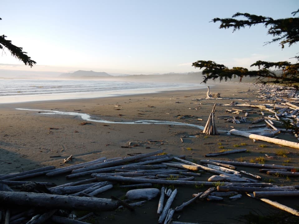
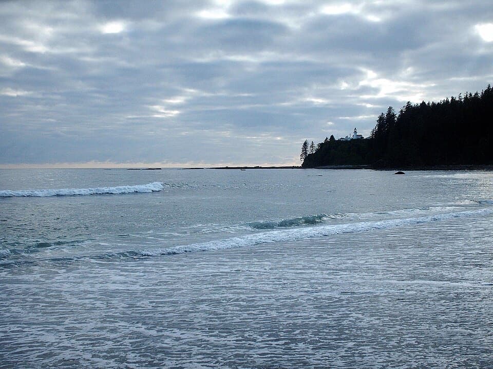
The camping area spreads along a broad sandy shore, with tent spots on the beach and in nearby forest clearings. The creek cuts through the beach here, and the route crosses it by cable car. It’s a striking place to finish a day’s hike: open ocean in front, forest at your back, and the Carmanah Point lighthouse visible along the coast.
The trail follows much older trade and travel routes used by Huu-ay-aht, Ditidaht and Pacheedaht people; villages and camps along this coast predate arriving sailing ships by more than 200 years. Carmanah Point lighthouse opened in 1891 to mark a hazardous stretch of coast. You can see it from the beach, but the lightstation grounds are closed to the public. For a photo, keep some of the beach or surf in the frame with the forested point so the small lighthouse gives the coastline scale.
Wildlife
 11 sightingsOrcaMost seen around 10 AMSighting map
 16 sightingsHumpback WhaleMost seen around 5 PMSighting map
 174 sightingsBlack BearMost seen around 8 PMSighting map
 16 sightingsSea OtterMost seen around 6 PMSighting map
 134 sightingsSteller Sea LionMost seen around 6 PMSighting map
 18 sightingsCalifornia Sea LionMost seen around noonSighting map
Sighting maps show where each species has been reported across Pacific Rim. Wildlife moves, so no sighting is guaranteed.
Keep exploring
 Campground · 1.5 km awayBonilla Point CampgroundA West Coast Trail camp beside sea stacks and Bonilla Falls.
 Sight · 1.8 km awayCarmanah Point LighthouseAn 1891 lightstation tied to the coast’s shipwreck and telegraph stories.
 Campground · 3.9 km awayCribs Creek CampgroundA beach campsite with a creek, breakwater and tide pools.
 Campground · 6.1 km awayWalbran Creek CampgroundA strategic camp before the West Coast Trail's toughest forest stretch.
Parkwolf’s Pacific Rim ranking

The audio tour guide for the drive, plus offline maps, trails, and wildlife heatmaps for when the signal drops.