Walbran Creek Campground in Pacific Rim National Park Reserve

Campground · Pacific Rim National Park Reserve

Walbran Creek Campground

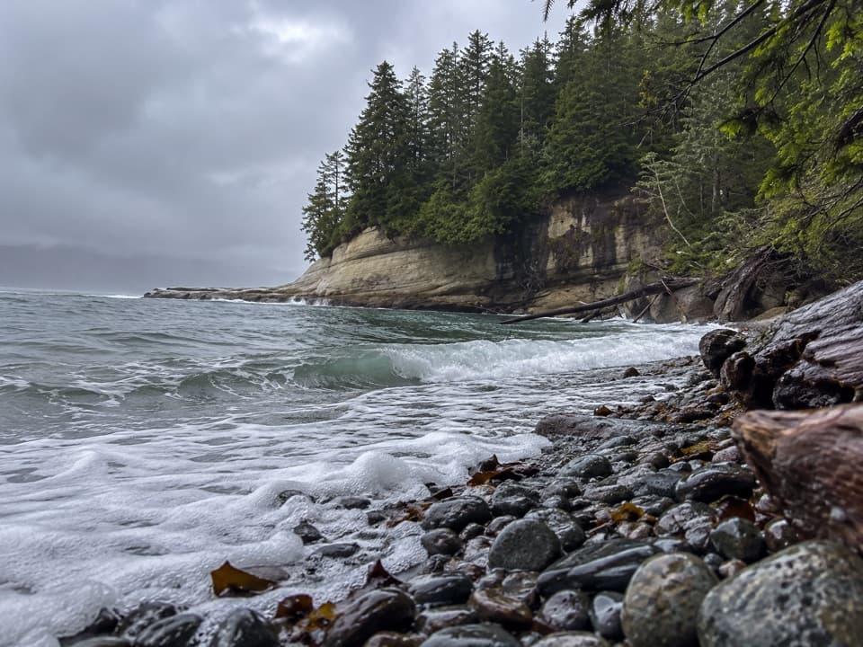
A strategic camp before the West Coast Trail's toughest forest stretch.

Photo: Wikimedia Commons

Overview

About Walbran Creek Campground

Why stop

  • A rugged Pacific-shore camp with the cable-car crossing at the creek.

Heads up

  • Reachable only on foot after an 11-kilometre trail stage from Cribs Creek.

Map

Where it is

Loading the Pacific Rim map
Full map
CampgroundWalbran Creek Campground48.58004, -124.65610
Keep this map with you offline in the Parkwolf app

Plan your stop

Before you go

7 active Pacific Rim alerts

  • ClosureWest Coast Trail winter access restrictionMentions West Coast Trail, referenced in this guideFrom October 7 through April 30, only day use between Pachena Bay trailhead and km 8 is permitted; overnight use and the remainder of the West Coast Trail are closed.Official details
  • ClosureWest Coast Trail lightstations closedMentions West Coast Trail, referenced in this guideCarmanah Point and Pachena Point Lightstations and their surrounding grounds in the West Coast Trail Unit are closed to public use at all times; do not enter.Official details

See all 7 alerts
A park ranger sits on a dash-mounted phone, talking, as Parkwolf’s Tour Guide plays “Army Cutworm Moths: A Grizzly Bear Buffet” on Grand Loop Road below Dunraven Pass in Yellowstone
Parkwolf Tour GuideThe highest, rockiest slopes around here are a summer buffet for grizzly bears.

Pacific Rim Tour Guide

Your drive to Walbran Creek Campground, narrated.

Parkwolf is a GPS audio tour guide for Pacific Rim National Park Reserve. As you drive, it chimes in with what’s ahead: hidden gems, upcoming stops, history, geology, and wildlife, right through your car’s speakers.

See the Pacific Rim audio tour
  • 34 audio storiesacross Pacific Rim’s roads, triggered by GPS as you drive
  • Wildlife heatmapsfor Orca, Humpback Whale, Black Bear, and 13 more
  • Works offlinemaps, 19 trails, 52 places, and audio download before you lose signal
  • CarPlay readysimple controls built for the drive
★★★★★
“Fantastic app with many points of information… It’s great to just turn on while you’re driving and it gives you an audio tour of the national Park. We love it!!!!”
JMJamesApp Store review
Download Parkwolf on the App StoreGet Parkwolf on Google Play

4.7 from 8,600+ ratings

Guide

More about Walbran Creek Campground

A camp deep on the West Coast TrailWalbran Creek Campground is a backcountry overnight stop at kilometre 53 of the 75-kilometre…

Walbran Creek Campground is a backcountry overnight stop at kilometre 53 of the 75-kilometre West Coast Trail, where Walbran Creek meets the Pacific shore. The full trail takes most hikers six to eight days; this is not a drive-in campground. A Parks Canada permit and advance reservation are required, and dogs are not allowed except service animals. The trail closes every year from October 7 through April 30.

The stage into and out of campFrom Cribs Creek at kilometre 42, it is an 11-kilometre hike to Walbran.

From Cribs Creek at kilometre 42, it is an 11-kilometre hike to Walbran. Long wooden ladders extend in either direction from the camp, and the creek crossing uses a cable car. Heading on to Camper Creek or Camper Bay adds another 9 kilometres through forest. It is a tough forest stretch, with mud, roots, and many ladder systems. This is a useful overnight split only if you are prepared for a rugged backcountry route.

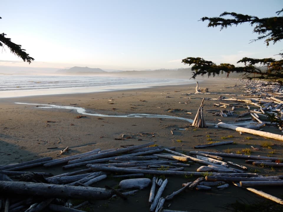
Basic camp by a changing shorelineExpect a rough, rocky camp with basic facilities: bear boxes and an outhouse.

Expect a rough, rocky camp with basic facilities: bear boxes and an outhouse. Tent space can feel tight, and the creek mouth and sandbar can change the usable shore and view. There is no road access here.

Wildlife

Wildlife in Pacific Rim

All Pacific Rim wildlife maps

Sighting maps show where each species has been reported across Pacific Rim. Wildlife moves, so no sighting is guaranteed.

Parkwolf’s Pacific Rim ranking

Top sights in Pacific Rim

All 52 places
  1. 1Long BeachBeach
  2. 2Wickaninnish BeachBeach
  3. 3Tsusiat FallsSight
  4. 4Incinerator RockSight
  5. 5Owen Point Sea CavesSight
  6. 6Radar HillSight

Take Parkwolf to Pacific Rim.

The audio tour guide for the drive, plus offline maps, trails, and wildlife heatmaps for when the signal drops.

4.7 from 8,600+ ratings

Download Parkwolf on the App StoreGet Parkwolf on Google Play