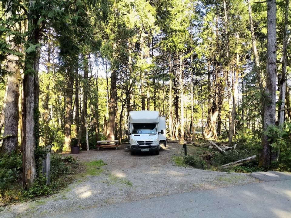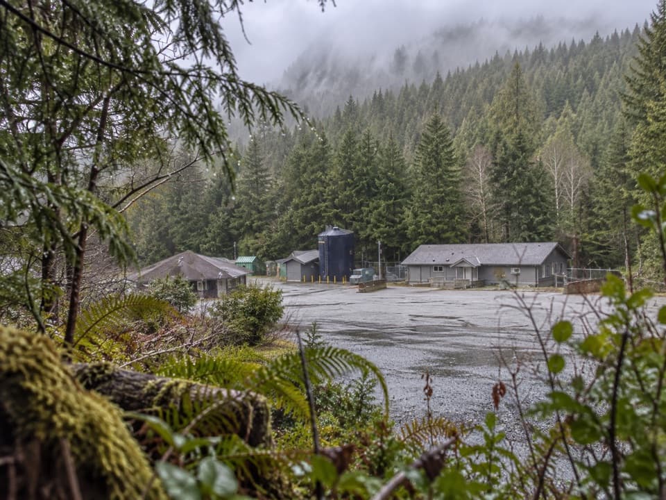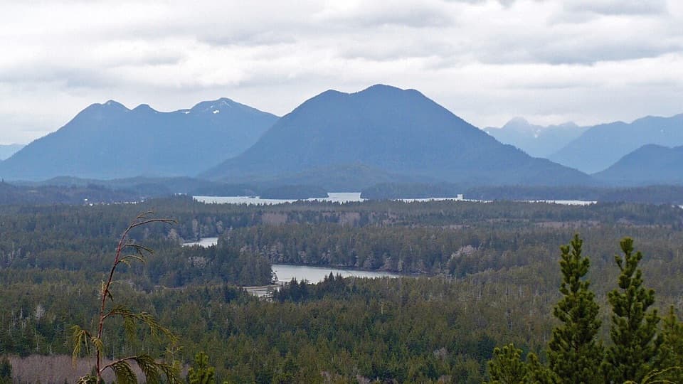
Wickaninnish Beach in Pacific Rim National Park Reserve

#2 of 21 sights in Pacific Rim

Beach · Pacific Rim National Park Reserve

Wickaninnish Beach

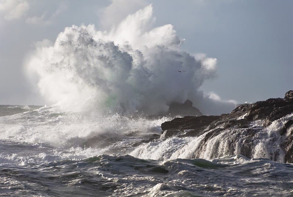
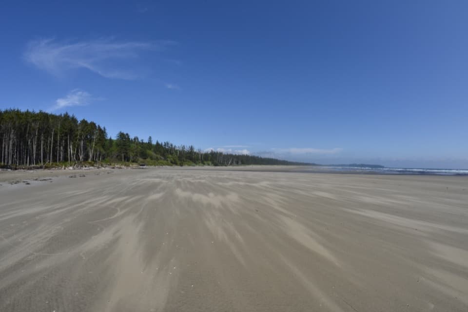
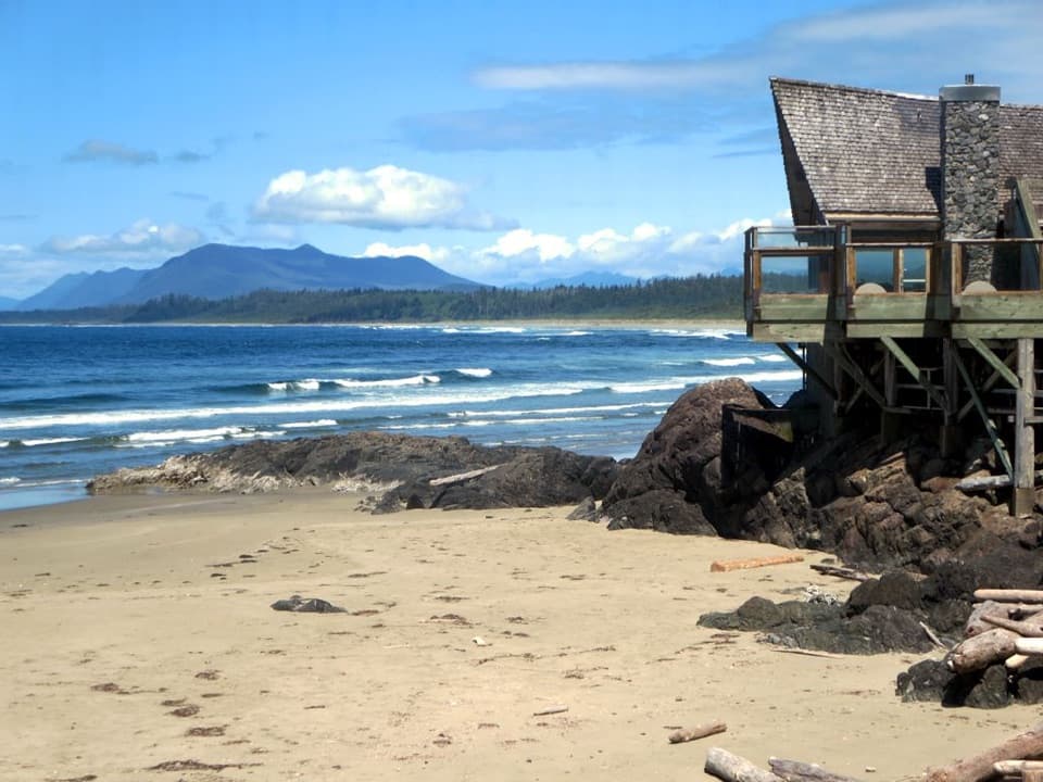
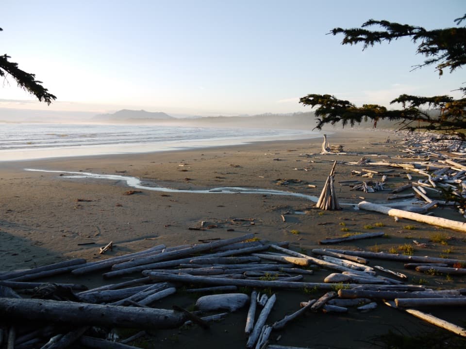
Driftwood, wide sand and Pacific surf make this a proper beach stop.

Photo: Wikimedia Commons
Type
Beach
Nearest trail
1.5 km
Audio stories
7 nearby
  • Parking
  • Restrooms
  • Picnic tables
  • Scenic viewpoint

Hear the audio tour

Wickaninnish Beach

Overview

About Wickaninnish Beach

Why stop

  • A wide, driftwood-lined shore with plenty of Pacific surf to watch.

Heads up

  • Cold water and rough surf make casual swimming a poor bet.

Map

Where it is

Loading the Pacific Rim map
Full map
BeachWickaninnish Beach49.02413, -125.68536
Keep this map with you offline in the Parkwolf app

Plan your stop

Before you go

Access and facilities

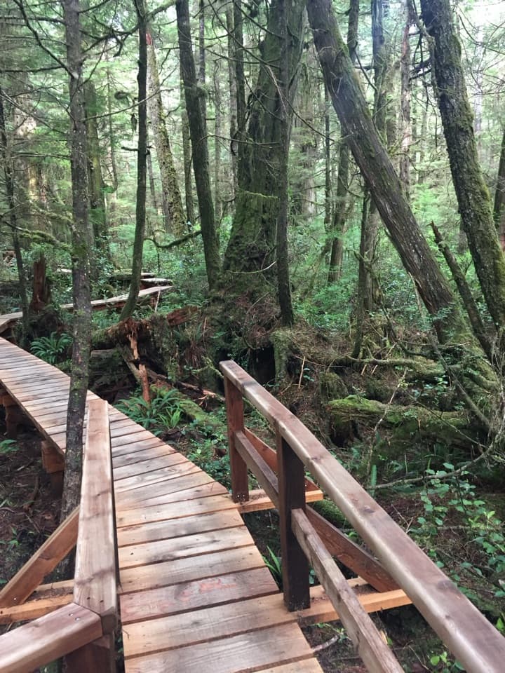
The direct access is Wickaninnish Day Use Area off Wick Road, with parking, picnic facilities and washrooms. A Parks Canada entry pass is required for the Long Beach Unit. The paved 25-kilometre ʔapsčiik t̓ašii multi-use path also reaches the beach, passing through forest and along parts of the shore. It isn't maintained in winter; Parks Canada recommends it from mid-April to mid-October.

7 active Pacific Rim alerts

  • CautionWolf warning in Long Beach UnitMentions Long Beach Unit, referenced in this guideA wolf warning remains active in the Long Beach Unit; leave pets at home because dogs attract wolves. Check current trail conditions before travelling.Official details
  • CautionLong Beach trails: limited access and boardwalk hazardsMentions Long Beach, referenced in this guideShorepine Bog and Willowbrae trails have limited access, and Combers Beach Trail is rated Caution; use care and follow posted signs.Official details
See all 7 alerts
A park ranger sits on a dash-mounted phone, talking, as Parkwolf’s Tour Guide plays “Army Cutworm Moths: A Grizzly Bear Buffet” on Grand Loop Road below Dunraven Pass in Yellowstone
Parkwolf Tour GuideThe highest, rockiest slopes around here are a summer buffet for grizzly bears.

Pacific Rim Tour Guide

Your drive to Wickaninnish Beach, narrated.

Parkwolf is a GPS audio tour guide for Pacific Rim National Park Reserve. As you drive, it chimes in with what’s ahead: hidden gems, upcoming stops, history, geology, and wildlife, right through your car’s speakers.

See the Pacific Rim audio tour

Recorded for this place

Wickaninnish Beach
0:00 / 0:26
“You're approaching the beach access for Wickaninnish Beach, a broad sandy shore lined with driftwood. Use Wickaninnish Day Use Area off Wick Road for direct beach access and picnic tables.”

Plays as you drive up to Wickaninnish Beach in the Parkwolf Pacific Rim Tour Guide.

More stories near here in the app

  • Kwisitis Visitor Centre and South Beach
  • Rainforest Trails A and B
  • Shorepine Bog Trail
  • Trees Growing from Trees
  • 34 audio storiesacross Pacific Rim’s roads, triggered by GPS as you drive
  • Wildlife heatmapsfor Orca, Humpback Whale, Black Bear, and 13 more
  • Works offlinemaps, 19 trails, 52 places, and audio download before you lose signal
  • CarPlay readysimple controls built for the drive
★★★★★
“Fantastic app with many points of information… It’s great to just turn on while you’re driving and it gives you an audio tour of the national Park. We love it!!!!”
JMJamesApp Store review
Download Parkwolf on the App StoreGet Parkwolf on Google Play

4.7 from 8,600+ ratings

Guide

More about Wickaninnish Beach

A proper stretch of PacificWickaninnish Beach is a broad sandy shore in the Long Beach Unit, with open ocean, driftwood…

Wickaninnish Beach is a broad sandy shore in the Long Beach Unit, with open ocean, driftwood and frequent surf. Come for a long walk or to watch the waves work across the beach. The water is cold and often rough, so treat this as a walking and surf-watching stop rather than counting on a casual swim; check the surf and tide before heading along the shore.

At the south endThe Kwisitis Visitor Centre sits at the beach's south end.

The Kwisitis Visitor Centre sits at the beach's south end. Its exhibits cover the land, sea, sky and local people, and it has a First Nations Gift Shop. The outside deck is a place to watch surfers and storm surf and, when they appear, whales. “Kwisitis” means “other end of the beach” in Nuu-chah-nulth.

The viewAt low tide, more sand can open up between the water and the driftwood, giving you a broader…

At low tide, more sand can open up between the water and the driftwood, giving you a broader shoreline to frame. The deck at Kwisitis looks along the beach if you want a higher view of the surf. Tides and swells change the water's edge, so check conditions before walking far along the shore.

Whose coast this isThe Long Beach Unit is within the traditional territories of Tla-o-qui-aht First Nations and…

The Long Beach Unit is within the traditional territories of Tla-o-qui-aht First Nations and Yuułuʔiłʔatḥ. Parks Canada says it has worked collaboratively with First Nations since 1995; the Kwisitis exhibits include stories and knowledge from the coast's First Nations.

Wildlife

Wildlife in Pacific Rim

All Pacific Rim wildlife maps

Sighting maps show where each species has been reported across Pacific Rim. Wildlife moves, so no sighting is guaranteed.

Keep exploring

Near Wickaninnish Beach

See it all on the map

Trails nearby

More stops nearby

Parkwolf’s Pacific Rim ranking

Top sights in Pacific Rim

All 52 places
  1. 1Long BeachBeach
  2. 3Tsusiat FallsSight
  3. 4Incinerator RockSight
  4. 5Owen Point Sea CavesSight
  5. 6Radar HillSight
  6. 7Combers BeachBeach

Take Parkwolf to Pacific Rim.

The audio tour guide for the drive, plus offline maps, trails, and wildlife heatmaps for when the signal drops.

4.7 from 8,600+ ratings

Download Parkwolf on the App StoreGet Parkwolf on Google Play