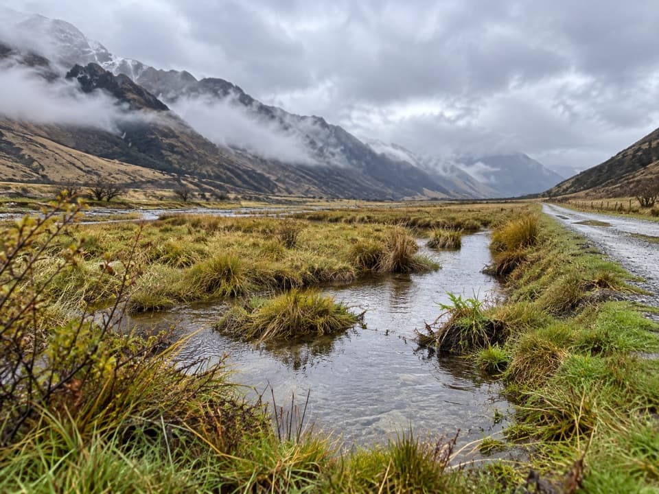
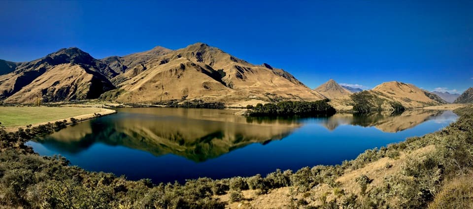
Ben Lomond Summit in Queenstown-Lakes District, New Zealand

Sight · Queenstown-Lakes District, New Zealand

Ben Lomond Summit

Earn a Lake Whakatipu panorama after a hard alpine climb.

Photo: Pseudopanax, CC BY 3.0, via Wikimedia Commons

Type
Sight
Nearest trail
3.4 km
  • Scenic viewpoint
  • #25 of 83 sights

Hear the audio tour

Skyline Queenstown
Download Parkwolf on the App StoreGet Parkwolf on Google Play

4.7 from 8,600+ ratings

Overview

About Ben Lomond Summit

Why stop

  • A broad alpine panorama over Queenstown, Lake Whakatipu and nearby peaks.

Heads up

  • The summit push is steep, rough and a full-day commitment.

Map

Where it is

Loading the Queenstown-Lakes District map
Full map
SightBen Lomond Summit-45.00704, 168.61556
Keep this map with you offline in the Parkwolf app

Plan your stop

Before you go

3 active Queenstown-Lakes District alerts

  • CautionRob Roy Track: stop at lower lookout during avalanche seasonFrom May to November, end your Rob Roy Track hike at the lower lookout: DOC strongly recommends this because the upper section crosses active avalanche paths.Official details
  • ClosureSkippers Bridge closed to all usersSkippers Bridge is closed to all vehicles, cyclists and pedestrians; stay off the bridge and obey closure signs and barriers.Official details

See all 3 alerts
A park ranger sits on a dash-mounted phone, talking, as Parkwolf’s Tour Guide plays “Army Cutworm Moths: A Grizzly Bear Buffet” on Grand Loop Road below Dunraven Pass in Yellowstone
Parkwolf Tour GuideThe highest, rockiest slopes around here are a summer buffet for grizzly bears.

Queenstown-Lakes District Tour Guide

Your drive to Ben Lomond Summit, narrated.

Parkwolf is a GPS audio tour guide for Queenstown-Lakes District, New Zealand. As you drive, it chimes in with what’s ahead: hidden gems, upcoming stops, history, geology, and wildlife, right through your car’s speakers.

See the Queenstown-Lakes District audio tour

Recorded for this place

Skyline Queenstown
0:00 / 0:33
“You're approaching the Skyline Gondola base on Brecon Street. The ride takes you up to Bob's Peak for a view over Queenstown, Lake Wakatipu and the Remarkables.”

Plays as you drive up to Ben Lomond Summit in the Parkwolf Queenstown-Lakes District Tour Guide.

More stories near here in the app

  • Moke Lake
  • How a Lake Makes Foam
  • Water from a Rainless Night
  • Fernhill Loop Track
  • 298 audio storiesacross Queenstown-Lakes District’s roads, triggered by GPS as you drive
  • Wildlife heatmapsfor Kea, Kākā, Kererū, and 13 more
  • Works offlinemaps, 155 trails, 129 places, and audio download before you lose signal
  • CarPlay readysimple controls built for the drive
★★★★★
“Fantastic app with many points of information… It’s great to just turn on while you’re driving and it gives you an audio tour of the national Park. We love it!!!!”
JMJamesApp Store review
Download Parkwolf on the App StoreGet Parkwolf on Google Play

4.7 from 8,600+ ratings

Guide

More about Ben Lomond Summit

A proper summit dayBen Lomond is the 1,748 m mountain summit above Queenstown, reached by a demanding high-country…

Ben Lomond is the 1,748 m mountain summit above Queenstown, reached by a demanding high-country hike rather than a roadside stop. From the Tiki Trail at the Skyline base, allow 6–8 hours return for 14 km and 1,438 m of climbing. The summit is the payoff for a full day out. If that is more than you want, the saddle is a worthwhile separate turnaround, not the summit.

Choose your start and plan the dayThe recommended start is the Tiki Trail beside the Skyline Gondola base station at the top of…

The recommended start is the Tiki Trail beside the Skyline Gondola base station at the top of Brecon Street. Riding the gondola to the top complex skips the steep lower forest climb, but the summit remains a serious hike. The saddle alone is a 7 km, 3–4 hour return from there, or 10 km and about five hours from town. There is no water beyond the Skyline complex. Toilets are available there and again shortly before the saddle; the upper one has no water, hand sanitiser or toilet paper. Leave enough daylight and carry a headtorch.

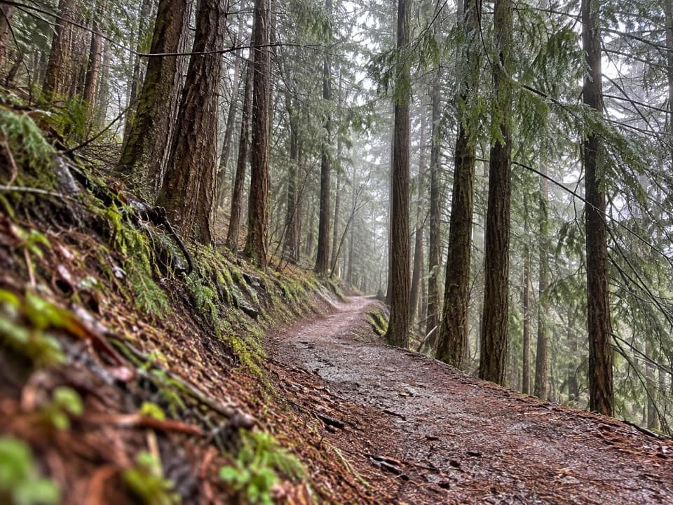
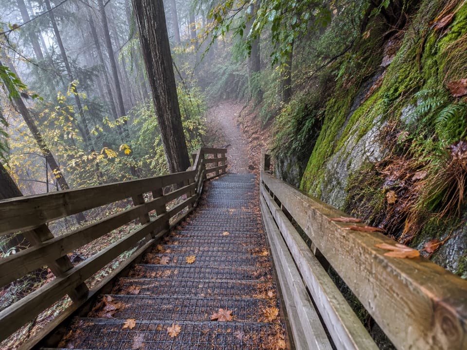
Through forest and onto the topsThe Tiki Trail starts among Douglas fir.

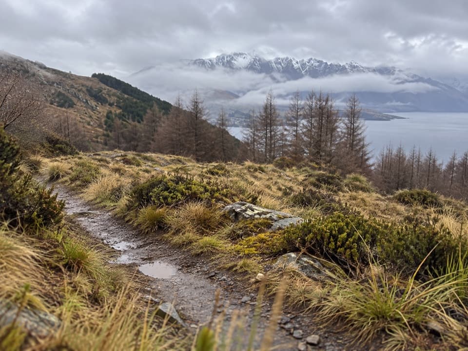
The Tiki Trail starts among Douglas fir. At about 800 m the trees give way to alpine tussock and shrubs, and the climb opens toward Ben Lomond Saddle at 1,326 m. This is already a substantial viewpoint and a sensible goal for anyone who wants the scenery without the summit push.

The steep final climbBeyond the saddle, the route crosses Ben Lomond Station on private land and becomes steeper,…

Beyond the saddle, the route crosses Ben Lomond Station on private land and becomes steeper, rougher and unmaintained. Stay on the formed track, both to respect the landowner and to avoid stock and farm hazards. There are steep drop-offs near the summit. Mountain weather changes quickly, and snow or ice makes this section more hazardous; winter requires alpine equipment.

The view from the topThe summit opens onto a broad panorama over Queenstown, Lake Whakatipu and the surrounding…

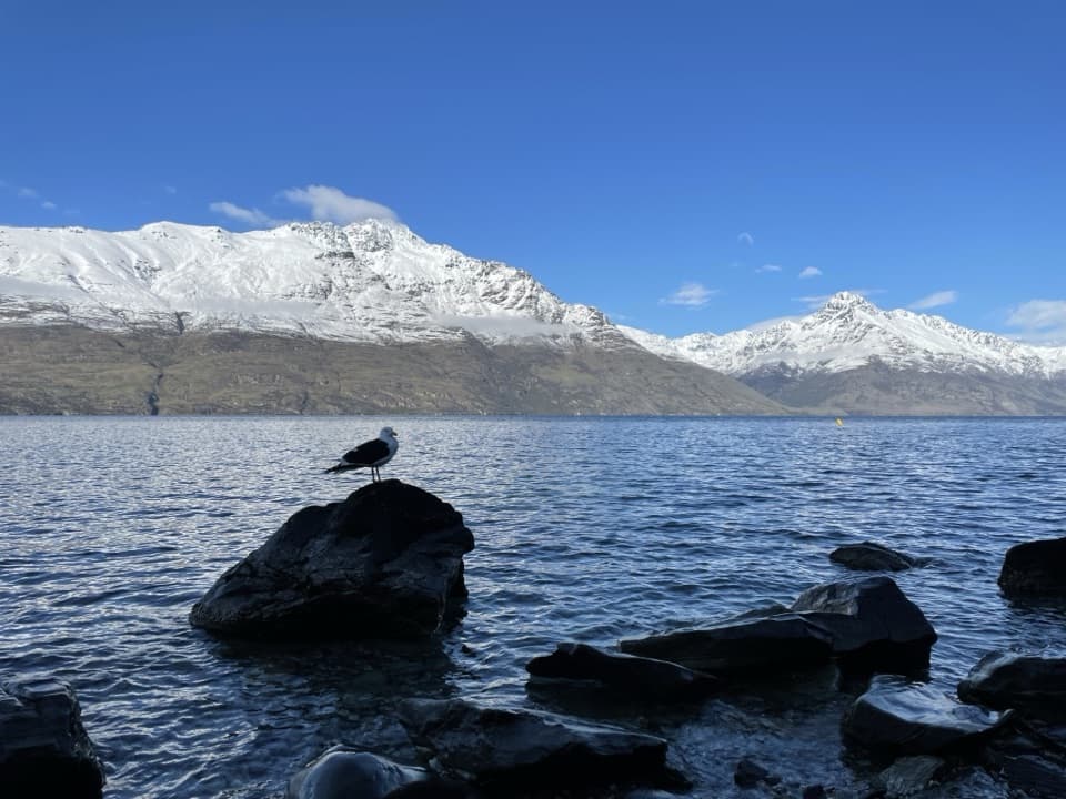
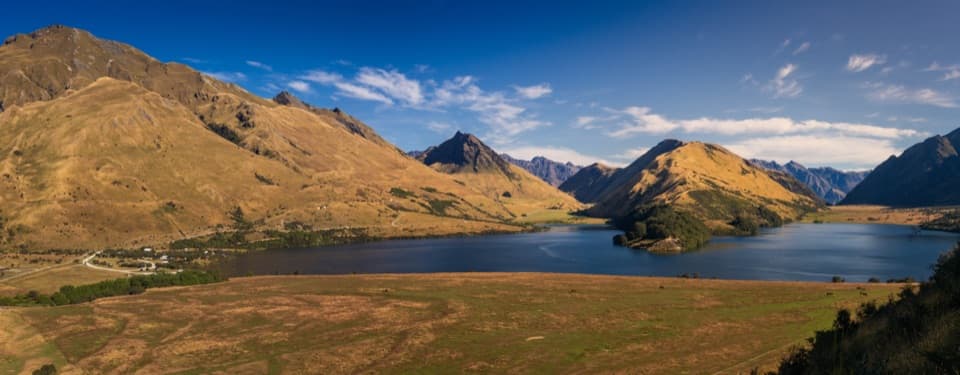
The summit opens onto a broad panorama over Queenstown, Lake Whakatipu and the surrounding ranges. Look for Ka-kamu-a-Hakitekura (Cecil Peak), Walter Peak and the Remarkables; Earnslaw/Pikirakatahi and Aspiring/Tititea may appear in fine weather. For a summit photo, include the lake with those nearer peaks so the view reads as more than a line of distant mountains.

Wildlife

Wildlife in Queenstown-Lakes District

All Queenstown-Lakes District wildlife maps

Sighting maps show where each species has been reported across Queenstown-Lakes District. Wildlife moves, so no sighting is guaranteed.

Keep exploring

Near Ben Lomond Summit

See it all on the map

Trails nearby

More stops nearby

Parkwolf’s Queenstown-Lakes District ranking

Top sights in Queenstown-Lakes District

All 129 places
  1. 1Skyline QueenstownSight
  2. 2TSS EarnslawSight
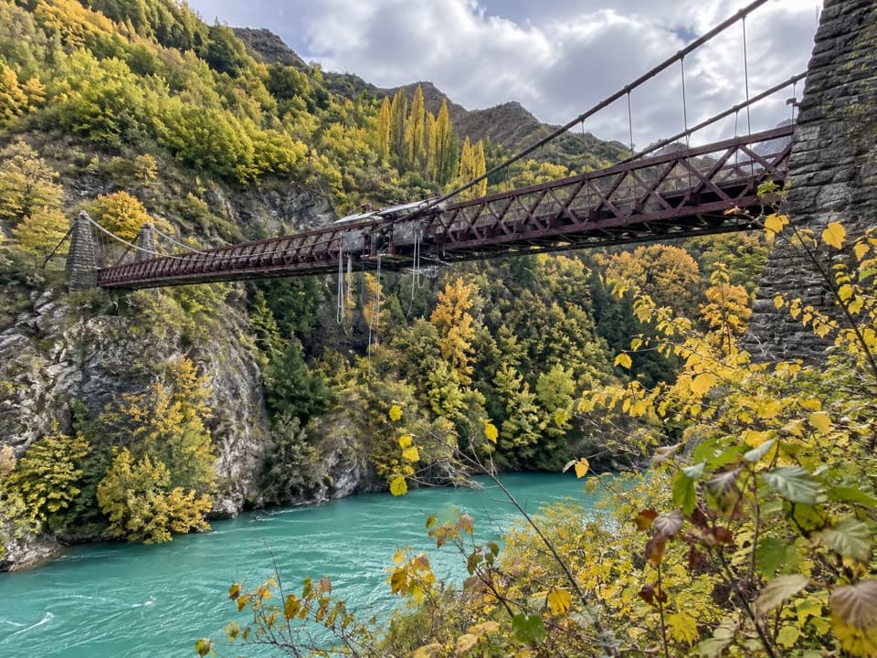
  3. 3Kawarau Bridge and Bungy CentreSight
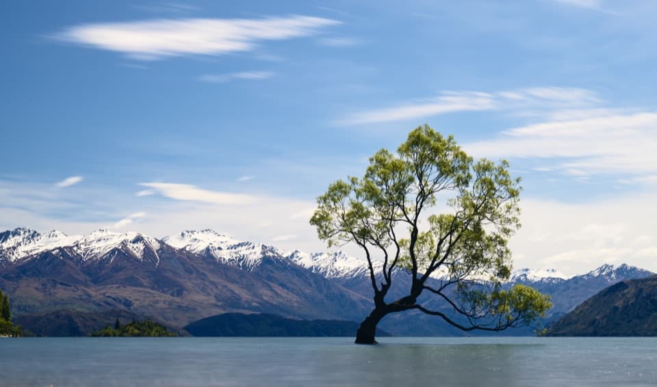
  4. 4That Wānaka TreeSight
  5. 5Queenstown GardensSight
  6. 6Shotover JetSight

Take Parkwolf to Queenstown-Lakes District.

The audio tour guide for the drive, plus offline maps, trails, and wildlife heatmaps for when the signal drops.

4.7 from 8,600+ ratings

Download Parkwolf on the App StoreGet Parkwolf on Google Play