Parking
Start at One Mile Car Park, 130 Lake Esplanade, near Fernhill. Spaces are limited and can fill during the day. A roadside access is also described just past Fernhill roundabout; use the car park for the mapped full out-and-back.
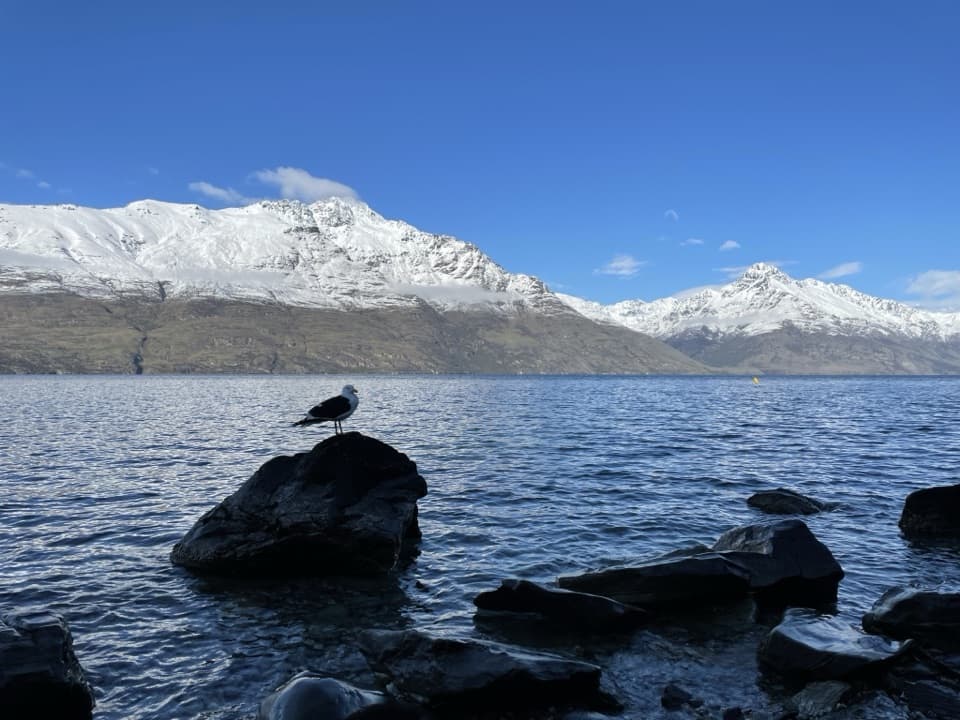
Queenstown-Lakes District, New Zealand, OT
Native bush, rocky rises and a pebble cove on Lake Wakatipu.
Overview
Map & elevation
Plan your hike

The highest, rockiest slopes around here are a summer buffet for grizzly bears.
Queenstown-Lakes District Tour Guide
Parkwolf is a GPS audio tour guide for Queenstown-Lakes District, New Zealand. As you drive, it chimes in with what’s ahead: hidden gems, upcoming stops, history, geology, and wildlife, right through your car’s speakers.
See the Queenstown-Lakes District audio tourRecorded for this trailhead
One Mile Creek and St Omer Park“One Mile Creek and St Omer Park are coming up near the Fernhill roundabout. For a relaxed break, choose St Omer's paved lakeside path, willow-shaded lawns and public barbecues.”
Plays as you drive up to this trailhead in the Parkwolf Queenstown-Lakes District Tour Guide.
More stories near here in the app
“Fantastic app with many points of information… It’s great to just turn on while you’re driving and it gives you an audio tour of the national Park. We love it!!!!”


Trail guide
Sunshine Bay Track is an out-and-back from One Mile Car Park near Fernhill to a pebble beach on Lake Wakatipu. The connected footway is about 2.5 km each way, so plan for roughly 5.1 km (3.1 mi) total; the shorter 4 km return figure does not match the full mapped path. Allow about 1½ to 2 hours with time for the lookouts and beach. It is a good choice for a shaded, rolling walk with a lake finish and modest climbing.
The route starts beside the lake, then narrows to mostly single track through native bush. It rises and dips, with a short natural rock stair as the roughest stretch; the stones are uneven and can be slippery when wet. After the rocky section, benches and open lookouts give you views back toward Queenstown and The Remarkables. The path descends toward the water again before Sunshine Bay.
Sunshine Bay is the turnaround: a pebble shore and jetty looking across Lake Wakatipu to the mountains. Leave a little time to sit by the water. A side path to Two Mile Creek Falls is mentioned locally, but its entrance is hard to pick out and the descent has been described as steep and rough. It is not part of the mapped beach route, so do not count on it as an easy extra stop.
Use One Mile Car Park at the Fernhill end for the full out-and-back. Parking is limited and can fill during the day. Dogs are allowed on lead, and the shared track is used by cyclists, who should give way to walkers. No drinking-water source along the route was confirmed. Starting in central Queenstown adds an approach beside the lake and road.
Wildlife
 194 sightingsKeaMost seen around 5 PMSighting map
 18 sightingsKākāMost seen around 6 PMSighting map
 198 sightingsKererūMost seen around 10 AMSighting map
 53 sightingsWekaMost seen around 6 PMSighting map
 245 sightingsTūīMost seen around 8 AMSighting map
 98 sightingsBellbirdMost seen around 6 AMSighting map
Sighting maps show where each species has been reported across Queenstown-Lakes District. Wildlife moves, so no sighting is guaranteed.
Keep exploring
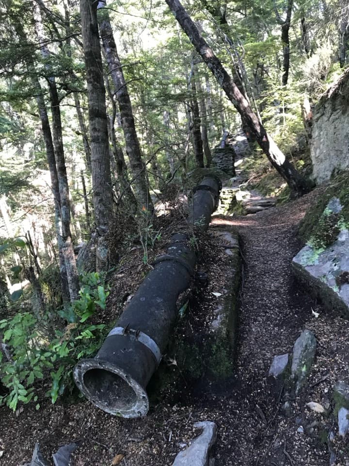 ModerateOne Mile Creek Walk1.9 km · 1.3 hr · 0.2 km awayA short creek climb to a historic dam and waterfall.
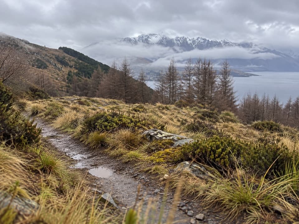 ModerateFernhill Loop Track7.6 km · 2.8 hr · 0.8 km awaySteep forest climb, then tussock and Lake Wakatipu views.
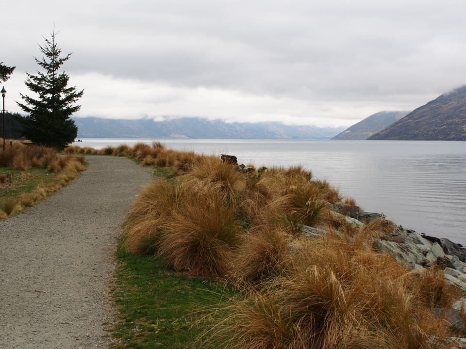 EasyQueenstown Gardens Loop Walk2 km · 40 min · 1.1 km awayA lake-edge loop past the rose garden, with mountain views.
 ChallengingBen Lomond Track14 km · 7.5 hr · 1.1 km awayA long climb from town ends above Lake Whakatipu and Queenstown.
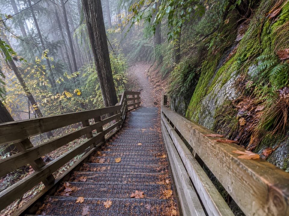 ModerateTiki Trail2 km · 1 hr · 1.1 km awayA steep, shaded climb to Queenstown's famous Skyline view.
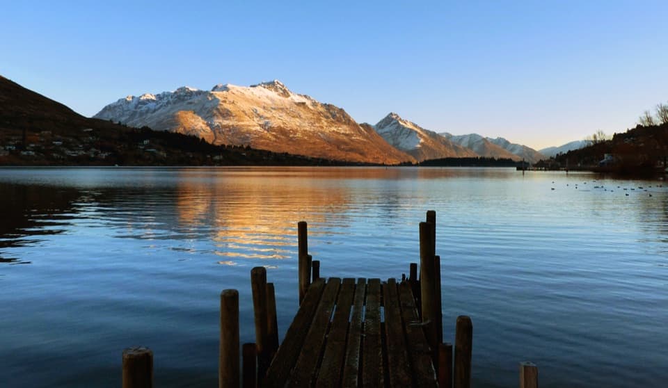 EasyFrankton Track8.5 km · 1.8 hr · 1.1 km awayFollow Frankton Arm from garden paths to the Kawarau Falls Bridge.
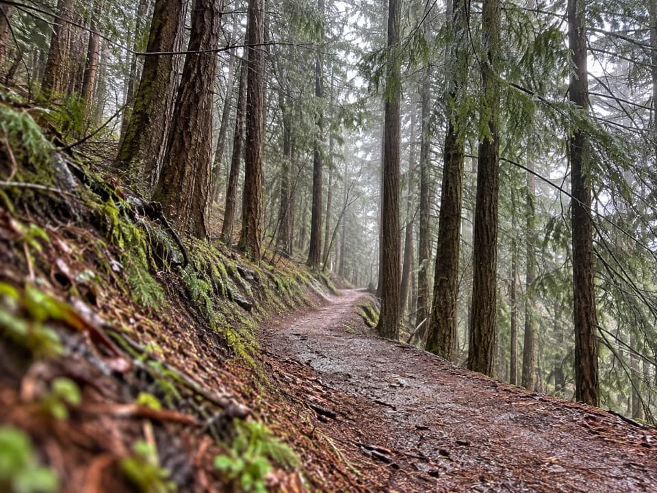 EasySkyline Loop Track1.1 km · 30 min · 1.3 km awayA quick, easy bush loop above Queenstown on Bob's Peak.
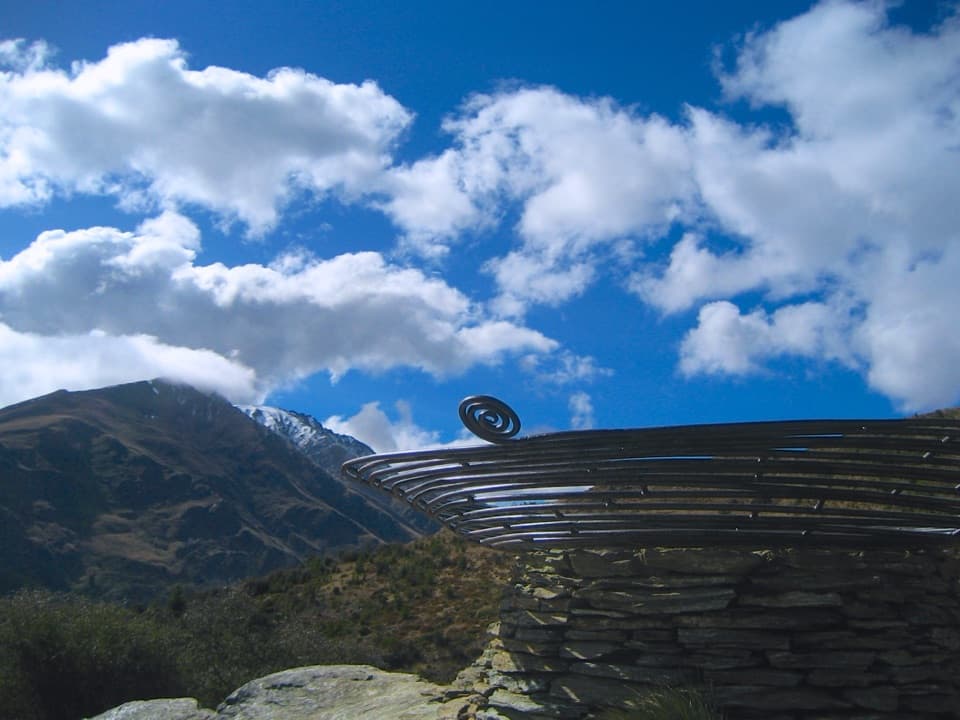 ModerateQueenstown Hill Time Walk5.4 km · 2.5 hr · 1.8 km awaySteep pine climb to the Basket of Dreams and lake panoramas.
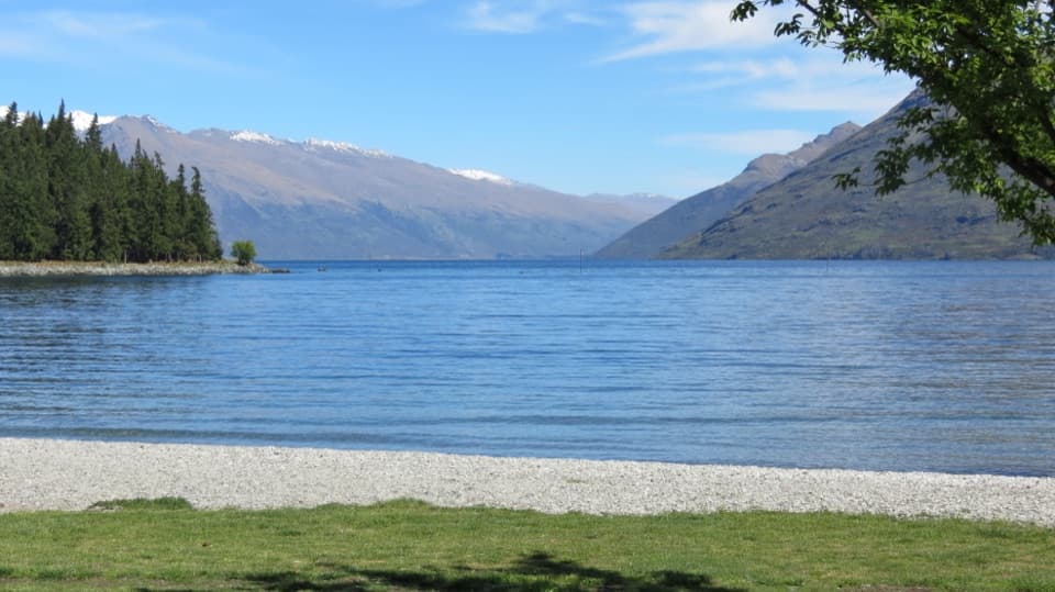 Sight · 0.3 km awaySt Omer ParkWillows shade an easy walk beside Lake Wakatipu.
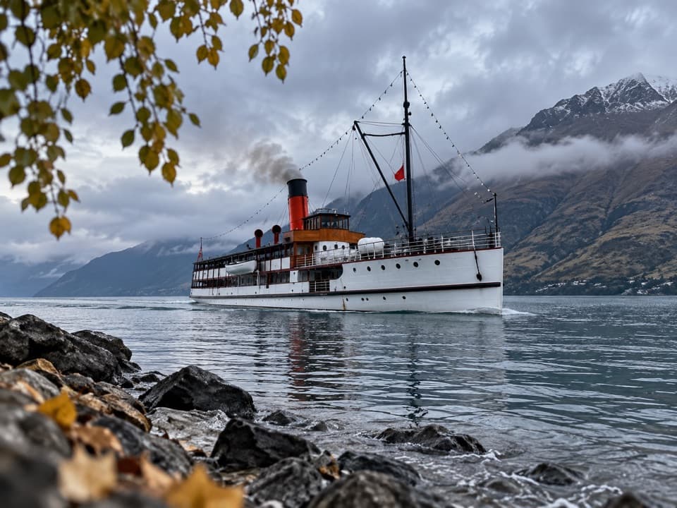 Sight · 0.9 km awayTSS EarnslawA working 1912 steamship makes a 90-minute lake crossing.
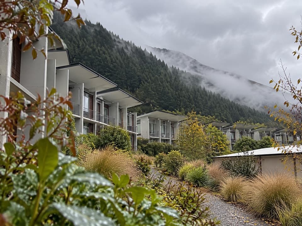 Lodging · 0.9 km awayHampshire Holiday Parks – Queenstown LakeviewMountain-view studios, tent sites, and cabins in one hillside park.
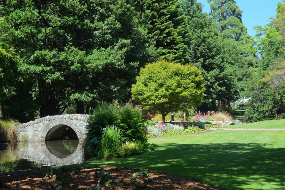 Sight · 1 km awayQueenstown GardensA green lakeside walk with rose beds, disc golf and mountain views.
 Sight · 1 km awayFear Factory QueenstownA 15-minute haunted maze with live scares or an actor-free route.
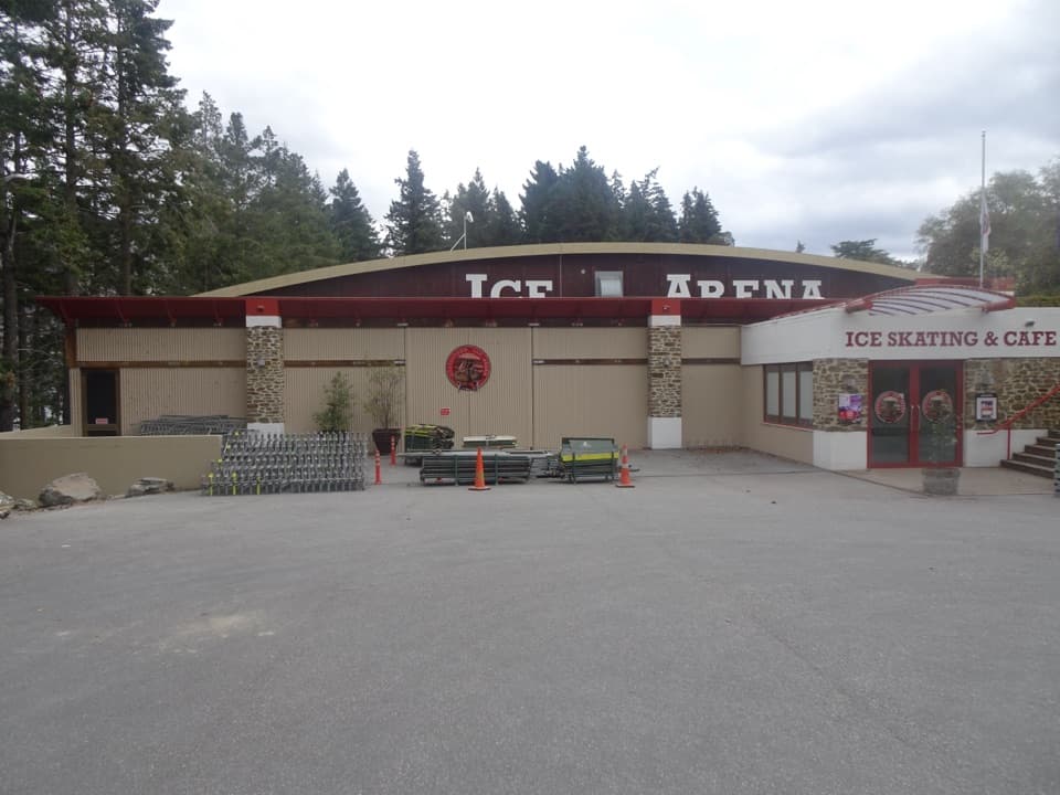 Sight · 1 km awayQueenstown Ice ArenaSkate in the Gardens, then warm up with hot chocolate.
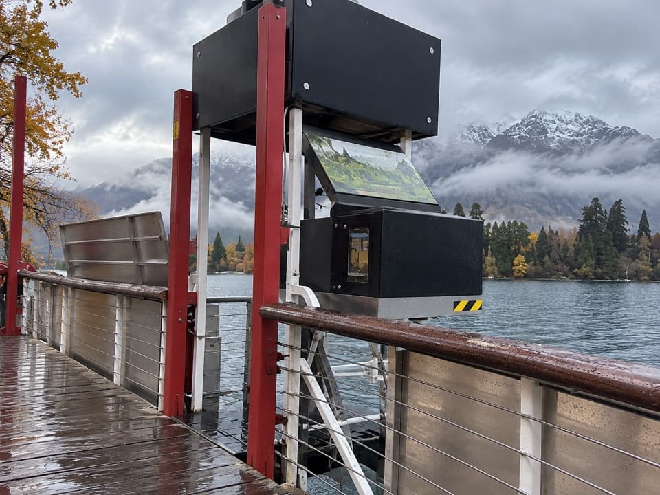 Sight · 1 km awayTime Tripper Underwater ObservatoryA short film, then Lake Wakatipu wildlife through underwater windows.
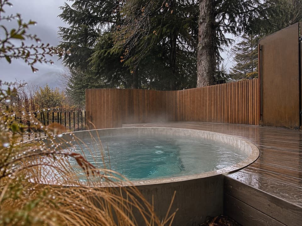 Sight · 1.1 km awayBathe Hot PoolsA town-centre soak, with mountain views from selected pools.
Parkwolf’s Queenstown-Lakes District ranking

The audio tour guide for the drive, plus offline maps, trails, and wildlife heatmaps for when the signal drops.




