Parking
Limited parking near the Wynyard Crescent/Fernhill Bike Park entrance; if those spaces are full, use only legal street parking and keep driveways clear. Bus #1 reaches Fernhill, followed by about a 500 m walk to the trailhead.
Queenstown-Lakes District, New Zealand, OT
Steep loop with big Wakatipu views and a quiet, close-to-town feel
Overview
Fernhill Loop Track is a strenuous loop through the Fernhill Trails and Ben Lomond Reserve area above Queenstown. The mapped loop is about 7.6 km (4.75 miles) with roughly 500 m of ascent and typically takes 2–3.5 hours on foot. It combines steep, rooty singletrack, forest, open tussock and broad views over Lake Wakatipu toward the Remarkables.
It is a good choice for hikers who want a demanding, quieter Queenstown outing with lake and mountain views close to town. It is a poor fit for anyone seeking a flat, highly signed or fully pedestrianised track.
 Parkwolf’s verdictIs it worth it?
Map & elevation
Plan your hike

The highest, rockiest slopes around here are a summer buffet for grizzly bears.
Queenstown-Lakes District Tour Guide
Parkwolf is a GPS audio tour guide for Queenstown-Lakes District, New Zealand. As you drive, it chimes in with what’s ahead: hidden gems, upcoming stops, history, geology, and wildlife, right through your car’s speakers.
See the Queenstown-Lakes District audio tourRecorded for this area
St Omer Park: Quiet Lawns and Lake Views“The green space opening up along the lake is St Omer Park. It’s a much quieter spot than the main town hub, with big open lawns perfect for a picnic.”
Plays on the road 1.2 km from the trailhead in the Parkwolf Queenstown-Lakes District Tour Guide.
More stories near here in the app
“Fantastic app with many points of information… It’s great to just turn on while you’re driving and it gives you an audio tour of the national Park. We love it!!!!”


Trail guide
Start at the Wynyard Crescent/Fernhill Bike Park entrance, the primary access identified for this loop. The route climbs from the Fernhill side, reaches open higher ground around the upper Fernhill network, and returns through the connected track system to the same entrance; follow the loop in the signed direction and do not enter bike-only lines. The area also connects with the Skyline access road and other Ben Lomond trails, so check the map at junctions to remain on Fernhill Loop.
Expect steep grades, exposed roots, tight turns, muddy patches and small stream crossings. Signage can be confusing where the walking track meets the mountain-bike network. This is shared-use terrain: listen and look for riders, yield appropriately, and obey any local closures or bike-only signs. The upper section can hold snow or ice in winter.
Wildlife
 189 sightingsKeaMost seen around 5 PMSighting map
 18 sightingsKākāMost seen around 6 PMSighting map
 195 sightingsKererūMost seen around 10 AMSighting map
 48 sightingsWekaMost seen around 6 PMSighting map
 239 sightingsTūīMost seen around 8 AMSighting map
 97 sightingsBellbirdMost seen around 6 AMSighting map
Sighting maps show where each species has been reported across Queenstown-Lakes District. Wildlife moves, so no sighting is guaranteed.
Keep exploring
 ModerateTiki Trail4.2 km · 2 hr · 1.5 km awayShort, steep climb to Skyline’s knockout Queenstown and Wakatipu views.
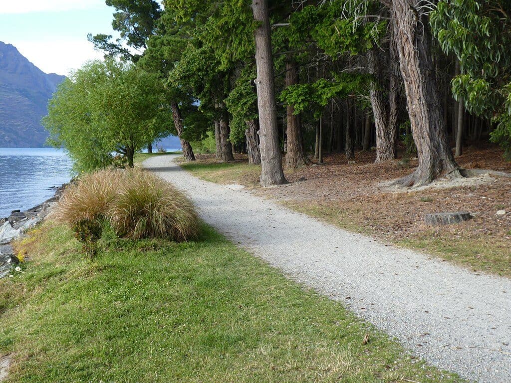 EasyQueenstown Gardens Lakefront Loop2 km · 30 min · 1.7 km awayEasy lakeside loop through Queenstown’s gardens with constant views
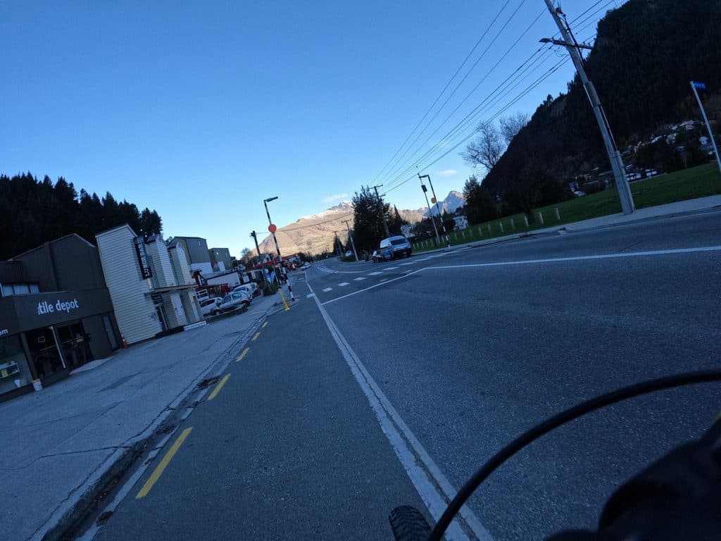 ModerateQueenstown Hill Time Walk5.5 km · 2.5 hr · 2.3 km awayA sustained 5.4 km return climb to Queenstown Hill views and the Basket of Dreams
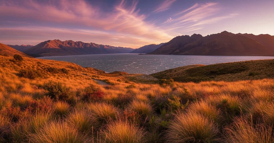 ModerateJacks Point Track12.6 km · 5 hr · 4.4 km awayExposed lakeside gravel track with big Lake Wakatipu and Remarkables views
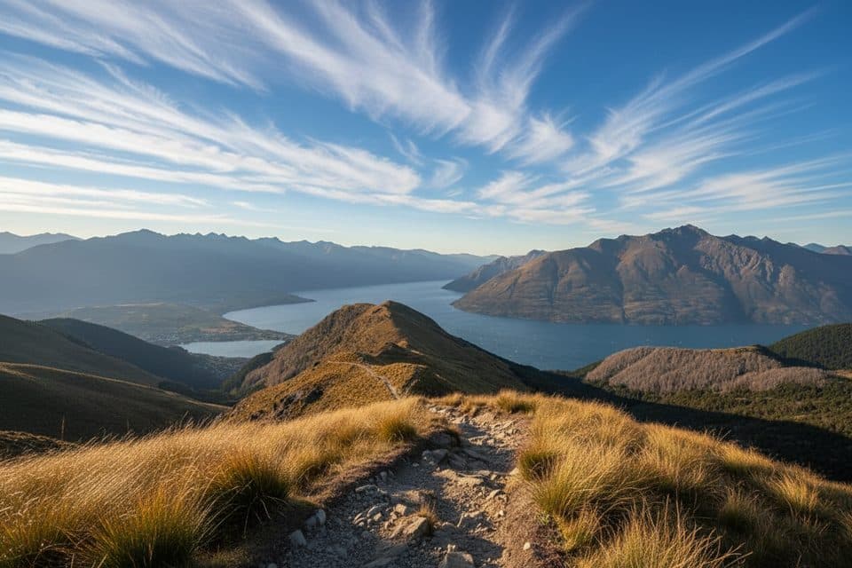 ModerateMoonlight Track14 km · 4.5 hr · 6 km awayHistoric one-way traverse from Arthur's Point to Moke Lake
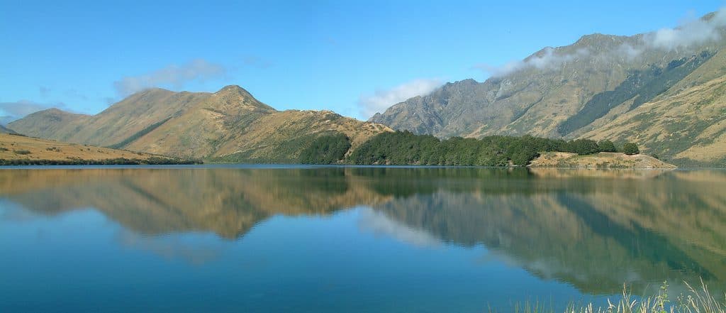 EasyMoke Lake Loop6.3 km · 2.5 hr · 6.5 km awayUndulating loop around an alpine lake near Queenstown
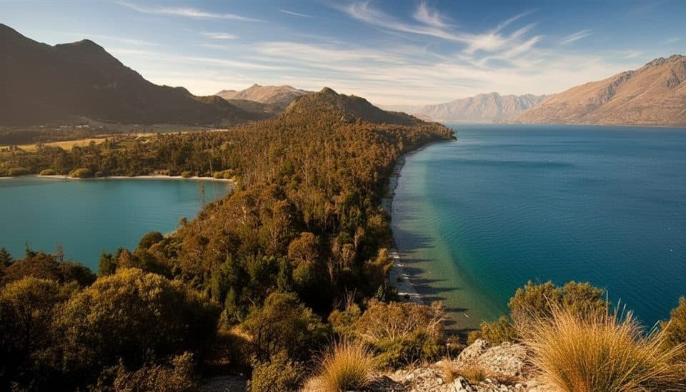 EasyBob’s Cove to Twelve Mile Delta Track6 km · 1.8 hr · 8.4 km awayA 6 km lakeside link from Twelve Mile Delta to Bob’s Cove.
 Sight · 1.1 km awayZiptrek Ecotours QueenstownTree-to-tree ziplines with big lake and mountain views
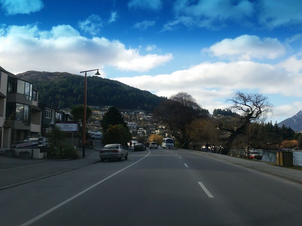 Picnic area · 1.2 km awaySt Omer ParkEasy lakefront lawns with BBQs and big mountain views
 Sight · 1.2 km awayBob’s Peak – Queenstown Gondola LookoutQueenstown's classic skyline view via a quick gondola ride
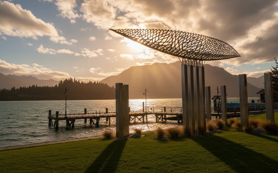 Sight · 1.4 km awayWakatipu VesselShiny canoe sculpture on the lakefront with mountain views
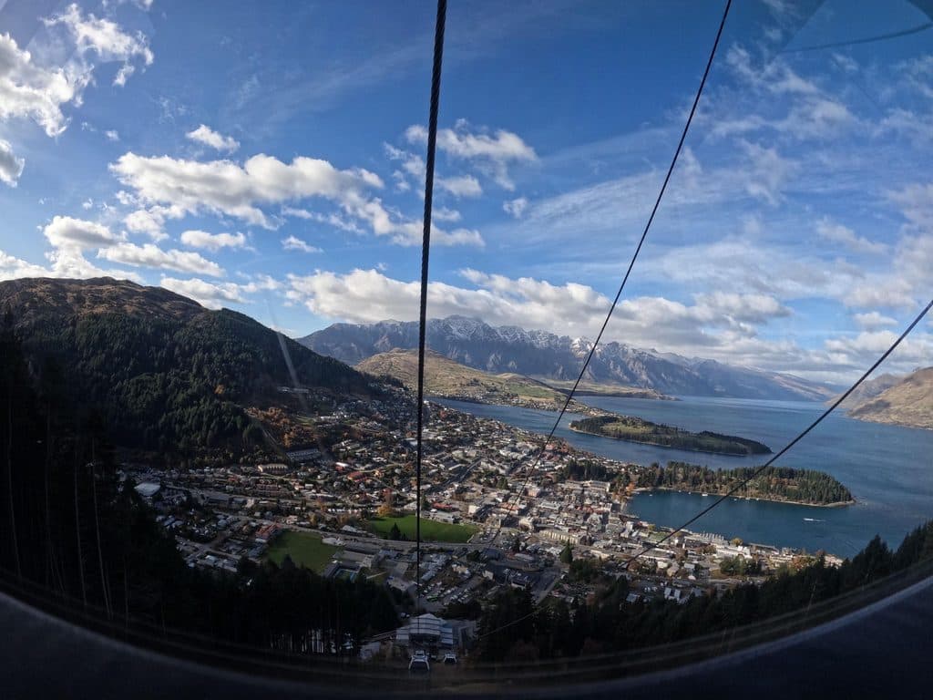 Campground · 1.4 km awayHampshire Holiday Park QueenstownCentral Queenstown holiday park with cabins and campervan sites
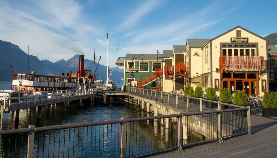 Sight · 1.4 km awaySteamer WharfWaterfront dining hub with lake views and Earnslaw cruise departures
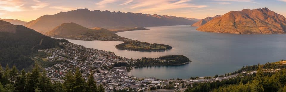 Beach · 1.5 km awaySunshine BayQuiet beach with big Lake Wakatipu views and an easy track
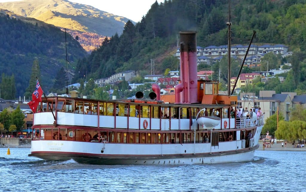 Sight · 1.5 km awayTSS EarnslawA living 1912 steamship to Walter Peak with epic lake views
Parkwolf’s Queenstown-Lakes District ranking
The audio tour guide for the drive, plus offline maps, trails, and wildlife heatmaps for when the signal drops.




