Skyline Loop Track in Queenstown-Lakes District, New Zealand

Queenstown-Lakes District, New Zealand, OT

Skyline Loop Track

A quick, easy bush loop above Queenstown on Bob's Peak.

Length
1.1km
Time
30min
Elev. change
57m
Difficulty
Easy
  • Loop
  • High point 849 m

Hear the audio tour

Skyline Queenstown

Overview

About Skyline Loop Track

Why go

  • A short signed bush circuit above Queenstown

Heads up

  • The loop starts above town, so reaching it adds time

Map & elevation

The route

Loading the Queenstown-Lakes District map
Full map
Elevation792–849 m
TrailheadSkyline Queenstown upper complex-45.02622, 168.64890
Keep this map with you offline in the Parkwolf app

Plan your hike

Before you go

Parking

Start at Skyline Queenstown's upper complex on Bob's Peak. Reach it by gondola or on foot via the Tiki Track from town. No dedicated parking for the upper trailhead was identified; nearby named parking areas include Lomond Crescent and Fernhill Roundabout.

Safety

Dog access is unclear: trail listings disagree. Confirm the rule with Skyline before bringing one.

3 active Queenstown-Lakes District alerts

  • CautionRob Roy Track: stop at lower lookout during avalanche seasonFrom May to November, end your Rob Roy Track hike at the lower lookout: DOC strongly recommends this because the upper section crosses active avalanche paths.Official details
  • ClosureSkippers Bridge closed to all usersSkippers Bridge is closed to all vehicles, cyclists and pedestrians; stay off the bridge and obey closure signs and barriers.Official details
See all 3 alerts
A park ranger sits on a dash-mounted phone, talking, as Parkwolf’s Tour Guide plays “Army Cutworm Moths: A Grizzly Bear Buffet” on Grand Loop Road below Dunraven Pass in Yellowstone
Parkwolf Tour GuideThe highest, rockiest slopes around here are a summer buffet for grizzly bears.

Queenstown-Lakes District Tour Guide

Your drive to Skyline Loop Track, narrated.

Parkwolf is a GPS audio tour guide for Queenstown-Lakes District, New Zealand. As you drive, it chimes in with what’s ahead: hidden gems, upcoming stops, history, geology, and wildlife, right through your car’s speakers.

See the Queenstown-Lakes District audio tour

Recorded for this trailhead

Skyline Queenstown
0:00 / 0:33
“You're approaching the Skyline Gondola base on Brecon Street. The ride takes you up to Bob's Peak for a view over Queenstown, Lake Wakatipu and the Remarkables.”

Plays as you drive up to this trailhead in the Parkwolf Queenstown-Lakes District Tour Guide.

More stories near here in the app

  • Bathe Hot Pools on Brecon Street
  • Fergburger on Shotover Street
  • Steamer Wharf and TSS Earnslaw
  • Queenstown Hill and Basket of Dreams
  • 298 audio storiesacross Queenstown-Lakes District’s roads, triggered by GPS as you drive
  • Wildlife heatmapsfor Kea, Kākā, Kererū, and 13 more
  • Works offlinemaps, 155 trails, 129 places, and audio download before you lose signal
  • CarPlay readysimple controls built for the drive
★★★★★
“Fantastic app with many points of information… It’s great to just turn on while you’re driving and it gives you an audio tour of the national Park. We love it!!!!”
JMJamesApp Store review
Download Parkwolf on the App StoreGet Parkwolf on Google Play

4.7 from 8,600+ ratings

Trail guide

Hiking Skyline Loop Track

The loopSkyline Loop Track is an easy 1.14 km circuit on Bob's Peak above Queenstown.

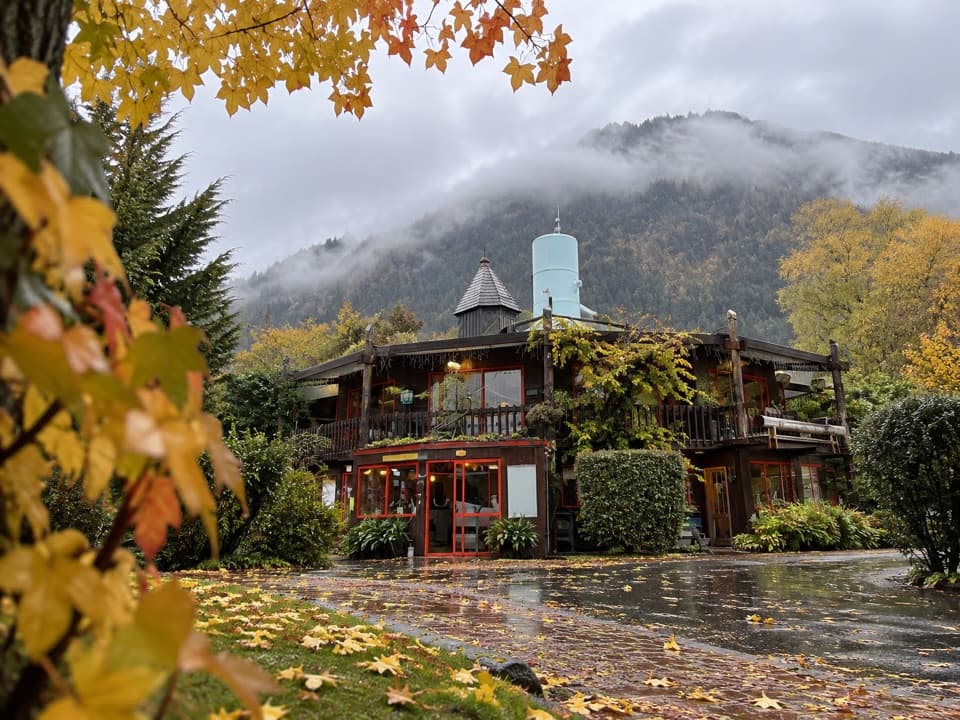
Skyline Loop Track is an easy 1.14 km circuit on Bob's Peak above Queenstown. Allow about 30 minutes. Starting from the upper Skyline complex, the signed route passes the Luge and a reservoir, turns into the trees, then descends back to the Skyline building. It is a short way to add a bush walk to a visit up top.

Getting to the startThe loop starts and finishes at Skyline Queenstown's upper complex.

The loop starts and finishes at Skyline Queenstown's upper complex. Reach it by gondola, or walk up from town on the Tiki Track; that climb is separate from the circuit, so leave extra time if you arrive on foot. From the complex, follow the signs past the Luge to the reservoir and turn right at the signpost.

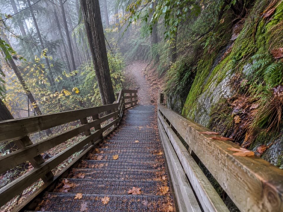
Through the bushThe route leaves the activity area for a gravel path through trees, then descends to the same…

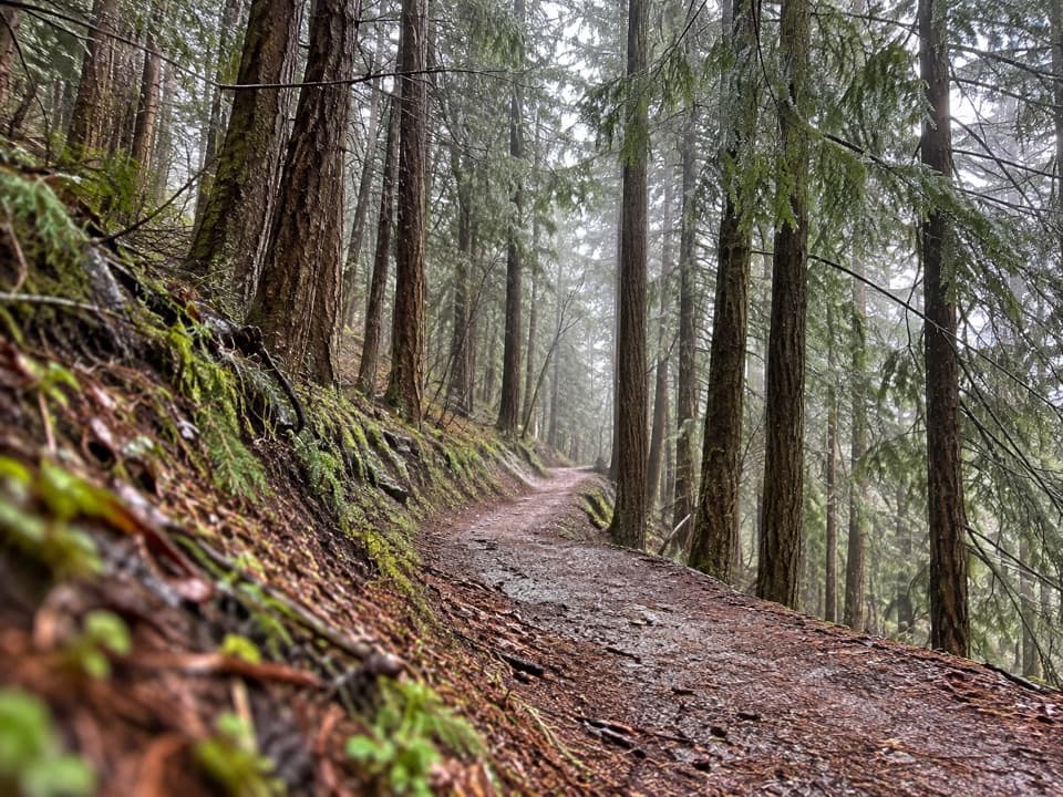
The route leaves the activity area for a gravel path through trees, then descends to the same building. The bushland includes native and exotic plant life. The loop is described as easy and family friendly. Trail listings disagree about dogs, so check with Skyline before bringing one.

Wildlife

Wildlife in Queenstown-Lakes District

All Queenstown-Lakes District wildlife maps

Sighting maps show where each species has been reported across Queenstown-Lakes District. Wildlife moves, so no sighting is guaranteed.

Keep exploring

Near Skyline Loop Track

See it all on the map

Trails that start nearby

Places near the trailhead

Parkwolf’s Queenstown-Lakes District ranking

Top-rated trails in Queenstown-Lakes District

All 155 trails
  1. 1Routeburn TrackChallenging · 33.1 km
  2. 2Roys Peak TrackChallenging · 16 km
  3. 3Ben Lomond TrackChallenging · 14 km
  4. 4Rob Roy TrackModerate · 10 km
  5. 5Isthmus Peak TrackChallenging · 16 km
  6. 6Routeburn Falls TrackChallenging · 19.6 km

Take Parkwolf to Queenstown-Lakes District.

The audio tour guide for the drive, plus offline maps, trails, and wildlife heatmaps for when the signal drops.

4.7 from 8,600+ ratings

Download Parkwolf on the App StoreGet Parkwolf on Google Play