Parking
The primary trailhead is at the end of Cemetery Road, off Brecon Street, beside the Skyline Gondola building. Walk from central Queenstown or use the Skyline Queenstown Multi-Storey Car Park; buses also serve the town area.
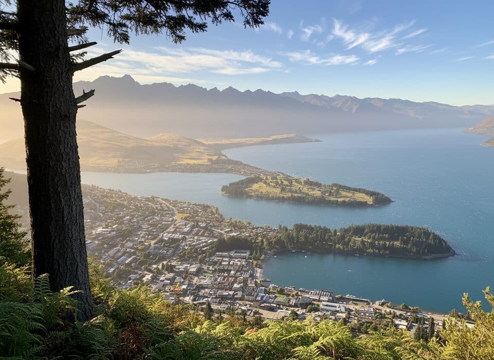
Queenstown-Lakes District, New Zealand, OT
Short, steep climb to Skyline’s knockout Queenstown and Wakatipu views.
Overview
The Tiki Trail is Queenstown’s short, steep climb from the end of Cemetery Road to the Skyline Queenstown complex on Bob’s Peak. The official route is about 2.1 km one way (roughly 4.2 km / 2.6 miles return) with approximately 480 m of climbing. Allow about 2 hours for the hiking round trip—around 1 hour up and roughly 45–60 minutes down—longer if you spend time at the Skyline facilities. It is an out-and-back with panoramic views over Queenstown and Lake Whakatipu from the top.
Map & elevation
Plan your hike

The highest, rockiest slopes around here are a summer buffet for grizzly bears.
Queenstown-Lakes District Tour Guide
Parkwolf is a GPS audio tour guide for Queenstown-Lakes District, New Zealand. As you drive, it chimes in with what’s ahead: hidden gems, upcoming stops, history, geology, and wildlife, right through your car’s speakers.
See the Queenstown-Lakes District audio tourRecorded for this trailhead
Skyline Gondola and Bob's Peak“The steep cableway you see heading up the mountain is the Skyline Gondola, which takes you 450 metres up to Bob's Peak. From the top, the views over Queenstown, Lake Wakatipu, and the surrounding ranges are incredible.”
Plays as you drive up to this trailhead in the Parkwolf Queenstown-Lakes District Tour Guide.
More stories near here in the app
“Fantastic app with many points of information… It’s great to just turn on while you’re driving and it gives you an audio tour of the national Park. We love it!!!!”


Trail guide
The track climbs through forest on steep, rocky and uneven terrain, with roots, steps and switchbacks. It crosses or passes beside the Ben Lomond Hammy’s Return mountain-bike trail near the lower section, so follow the signs and give riders priority. The route finishes at the Skyline complex on Bob’s Peak, where the views and facilities are the payoff.
The primary trailhead is at the end of Cemetery Road, off Brecon Street, on the left side of the Skyline Gondola building. It is walkable from central Queenstown; the Skyline Queenstown Multi-Storey Car Park is the closest major parking option, and buses also serve the town area.
Carry water because there is no reliable water on the track. A hiking pole can help on the steep, rocky descent. You can hike back down or take a one-way gondola ride from the Skyline top complex, subject to gondola operating hours. The top complex offers food, drinks and activities, and the trail also connects into the longer Ben Lomond route.
This is a short but demanding climb rather than an easy stroll. Stay alert at the mountain-bike crossing, use grippy footwear after rain or in winter, and plan for the 480 m descent if walking back down. Dogs may use the trail but are not allowed inside the Skyline building.
Wildlife
 189 sightingsKeaMost seen around 5 PMSighting map
 18 sightingsKākāMost seen around 6 PMSighting map
 195 sightingsKererūMost seen around 10 AMSighting map
 48 sightingsWekaMost seen around 6 PMSighting map
 239 sightingsTūīMost seen around 8 AMSighting map
 97 sightingsBellbirdMost seen around 6 AMSighting map
Sighting maps show where each species has been reported across Queenstown-Lakes District. Wildlife moves, so no sighting is guaranteed.
Keep exploring
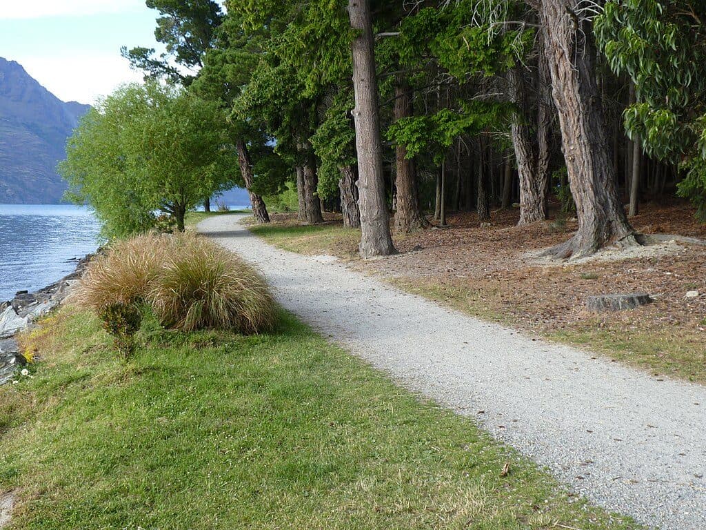 EasyQueenstown Gardens Lakefront Loop2 km · 30 min · 0.7 km awayEasy lakeside loop through Queenstown’s gardens with constant views
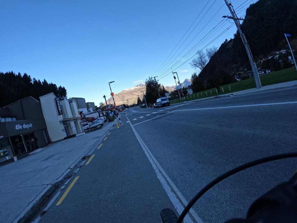 ModerateQueenstown Hill Time Walk5.5 km · 2.5 hr · 0.9 km awayA sustained 5.4 km return climb to Queenstown Hill views and the Basket of DreamsChallengingBen Lomond Track10.9 km · 6 hr · 1 km awayA demanding alpine climb from Skyline to a 1,748 m summit with huge Queenstown viewsChallengingFernhill Loop Track7.6 km · 3 hr · 1.5 km awaySteep loop with big Wakatipu views and a quiet, close-to-town feel
 ModerateJacks Point Track12.6 km · 5 hr · 3.5 km awayExposed lakeside gravel track with big Lake Wakatipu and Remarkables views
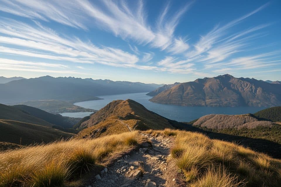 ModerateMoonlight Track14 km · 4.5 hr · 5 km awayHistoric one-way traverse from Arthur's Point to Moke Lake
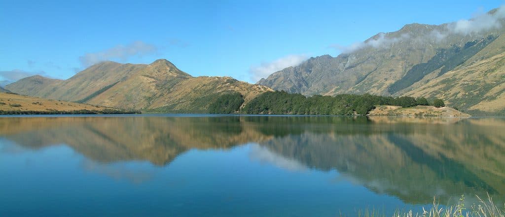 EasyMoke Lake Loop6.3 km · 2.5 hr · 7.2 km awayUndulating loop around an alpine lake near Queenstown
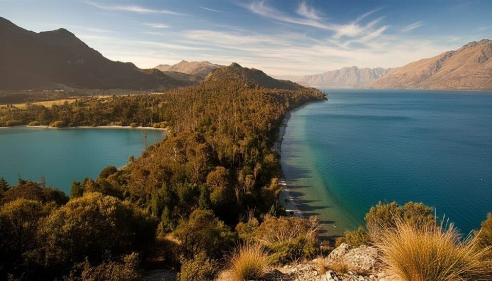 EasyBob’s Cove to Twelve Mile Delta Track6 km · 1.8 hr · 9.9 km awayA 6 km lakeside link from Twelve Mile Delta to Bob’s Cove.
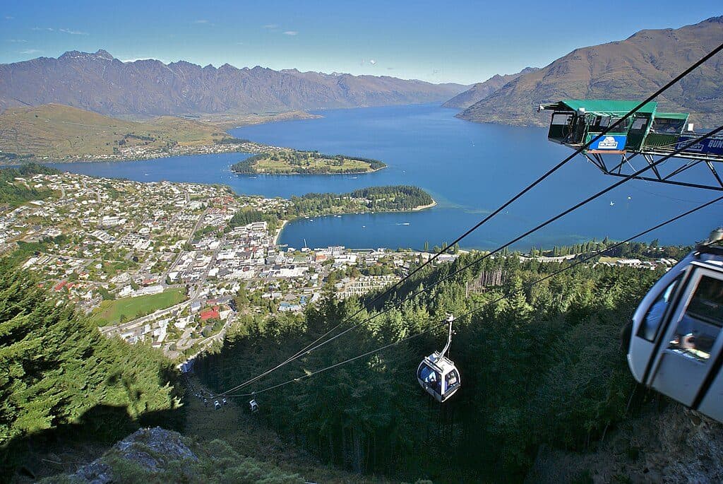 Sight · At the trailheadSkyline GondolaQueenstown’s classic ride to big views, luge runs, and Ben Lomond access
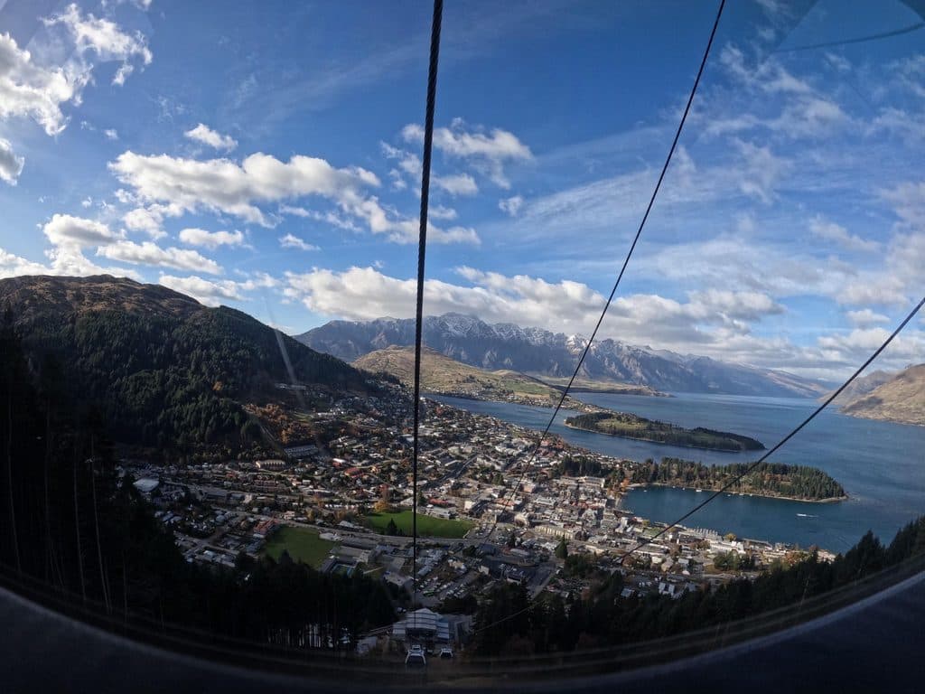 Campground · 0.2 km awayHampshire Holiday Park QueenstownCentral Queenstown holiday park with cabins and campervan sites
 Sight · 0.4 km awayNZONE Skydive QueenstownQueenstown’s original tandem skydive with huge alpine‑lake views
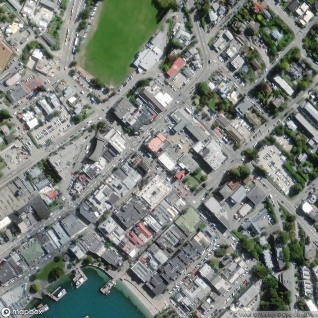 Sight · 0.5 km awayIvan Clarke GalleryWhimsical Lonely Dog art and NZ landscapes in a free CBD gallery
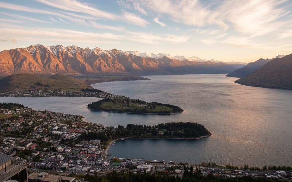 Sight · 0.5 km awayBob’s Peak – Queenstown Gondola LookoutQueenstown's classic skyline view via a quick gondola ride
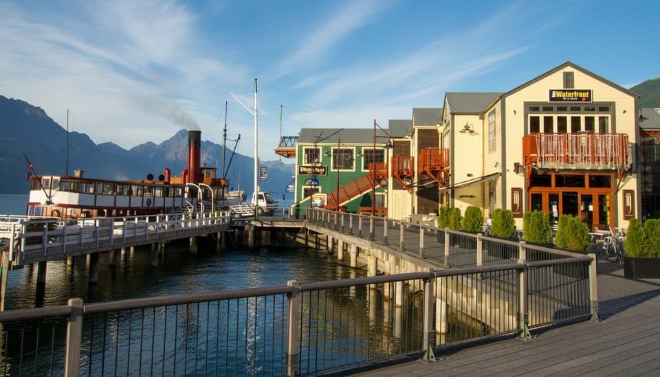 Sight · 0.5 km awaySteamer WharfWaterfront dining hub with lake views and Earnslaw cruise departures
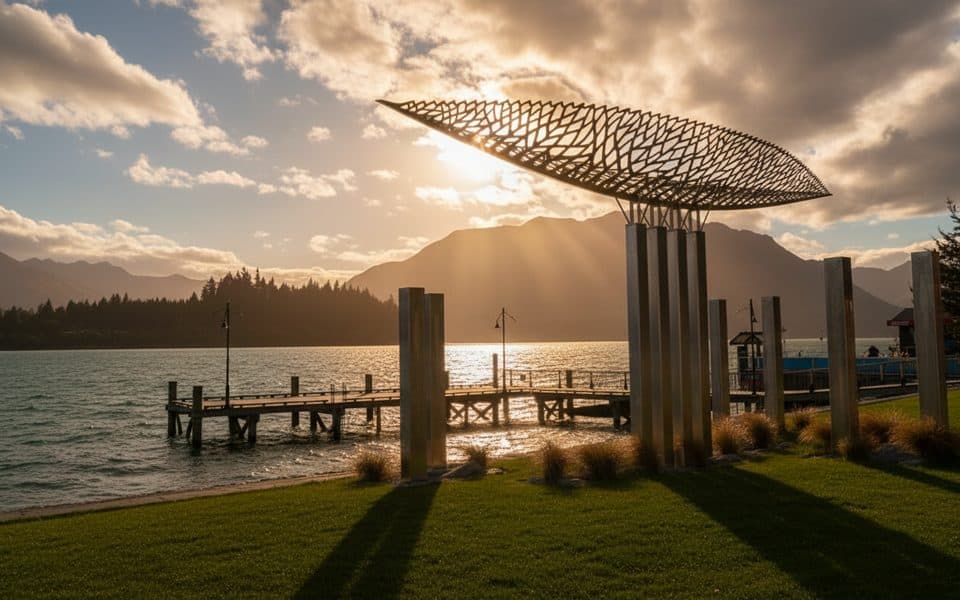 Sight · 0.6 km awayWakatipu VesselShiny canoe sculpture on the lakefront with mountain views
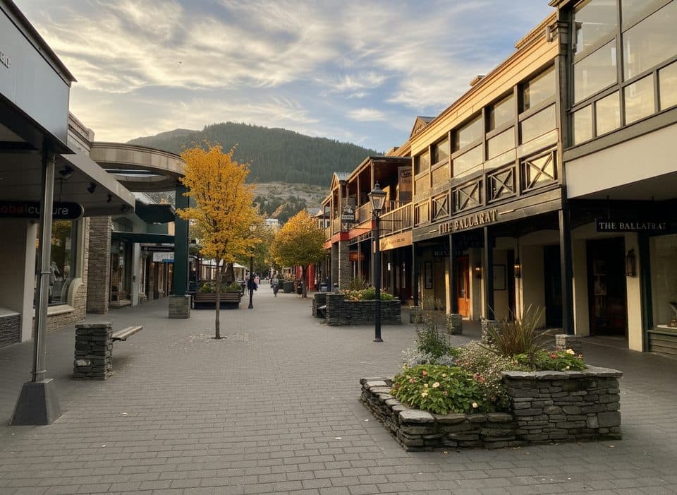 Sight · 0.6 km awayQueenstown MallPedestrian street for browsing, bites, and prime people watching
Parkwolf’s Queenstown-Lakes District ranking

The audio tour guide for the drive, plus offline maps, trails, and wildlife heatmaps for when the signal drops.




