Parking
Use the DOC car park just north of Wonderland Lodge on State Highway 6; the track starts via the Makarora Nature Walk. DOC sources checked do not specify toilets, water or food at the access.
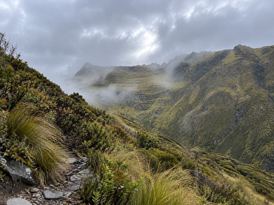
Queenstown-Lakes District, New Zealand, OT
A steep bush climb to a wide Makarora Valley view.
Overview
Map & elevation
Plan your hike

The highest, rockiest slopes around here are a summer buffet for grizzly bears.
Queenstown-Lakes District Tour Guide
Parkwolf is a GPS audio tour guide for Queenstown-Lakes District, New Zealand. As you drive, it chimes in with what’s ahead: hidden gems, upcoming stops, history, geology, and wildlife, right through your car’s speakers.
See the Queenstown-Lakes District audio tourRecorded for this trailhead
Makarora Bush Walk and Mount Shrimpton“The Makarora Bush Walk and Mount Shrimpton track entrance are coming up. For a quick break, take the fifteen-minute forest loop through silver beech and podocarp trees, with an old pit-saw display halfway round.”
Plays as you drive up to this trailhead in the Parkwolf Queenstown-Lakes District Tour Guide.
More stories near here in the app
“Fantastic app with many points of information… It’s great to just turn on while you’re driving and it gives you an audio tour of the national Park. We love it!!!!”


Trail guide
Mount Shrimpton Track is a 6 km out-and-back from the DOC car park just north of Wonderland Lodge on State Highway 6. Allow five hours for the return. The walk starts on the Makarora Nature Walk, then takes a signed branch and climbs steeply to the bushline. This is a half-day climb for the open view over the Makarora Valley and Southern Alps.
The approach runs through silver beech and podocarp forest, including mataī, miro, kahikatea and rimu. One visitor account describes a gentle opening, a crossing of Pipson Creek and a creek-side viewpoint before the main climb. It also reports rocky, rooty footing and a small scramble at the tree edge; treat those as useful route notes, not a current track-condition report. Take care on the descent over uneven ground.
The maintained track reaches a bushline viewpoint looking across the Makarora Valley toward the Southern Alps. That's the standard turnaround. Mount Shrimpton itself is 2,002 m, but continuing along the ridge toward the summit is a separate off-track outing, not part of this 6 km track. Don't use summit-trip mileage or timing to plan the marked walk.
The lower walk passes native beech and podocarp forest before the track opens onto the upland edge of the McKerrow Range. DOC suggests watching for kārearea (New Zealand falcon), kererū (wood pigeon) and kea. The route's change from shaded forest to exposed bushline is the main contrast of the walk.
Wildlife
 194 sightingsKeaMost seen around 5 PMSighting map
 18 sightingsKākāMost seen around 6 PMSighting map
 198 sightingsKererūMost seen around 10 AMSighting map
 53 sightingsWekaMost seen around 6 PMSighting map
 245 sightingsTūīMost seen around 8 AMSighting map
 98 sightingsBellbirdMost seen around 6 AMSighting map
Sighting maps show where each species has been reported across Queenstown-Lakes District. Wildlife moves, so no sighting is guaranteed.
Keep exploring
 EasyMakarora Bush Walk0.6 km · 15 min · At the trailheadA quick shaded forest loop with a pit-saw display halfway round.
 EasyBlue Pools Track3 km · 1.3 hr · 8.7 km awayTwo swing bridges, clear water and a short walk through beech forest.
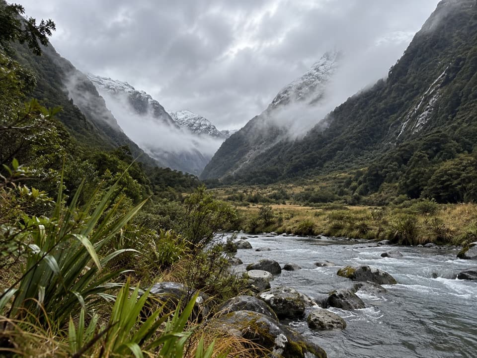 ChallengingBlue Valley Track32 km · 18 hr · 8.7 km awayA remote out-and-back through beech forest to Blue Valley's upper flats.
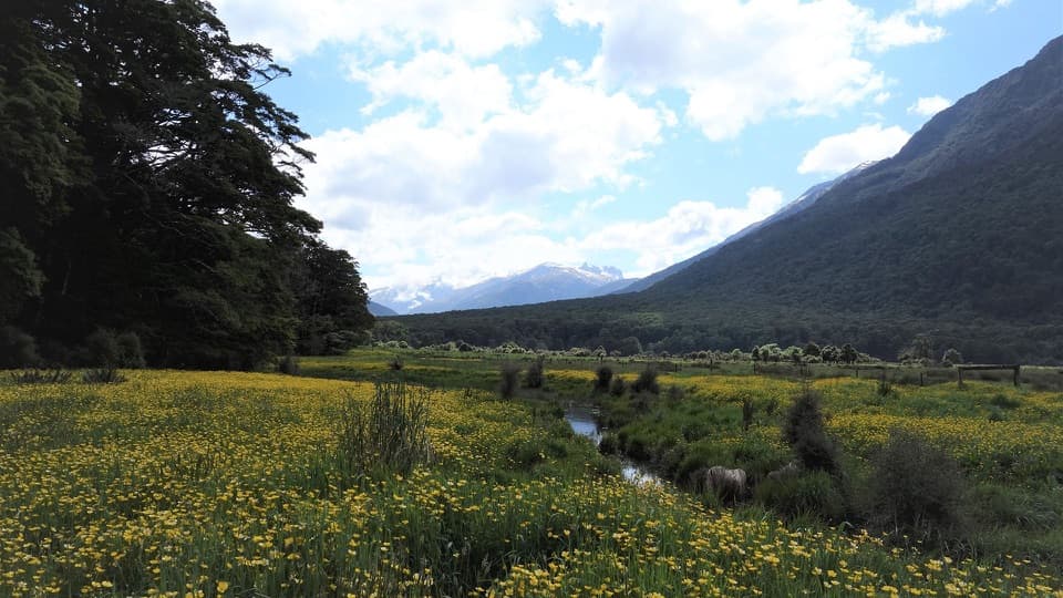 ModerateYoung River Link Track14 km · 3.5 hr · 8.7 km awayA longer return through beech forest and pasture to the Young River
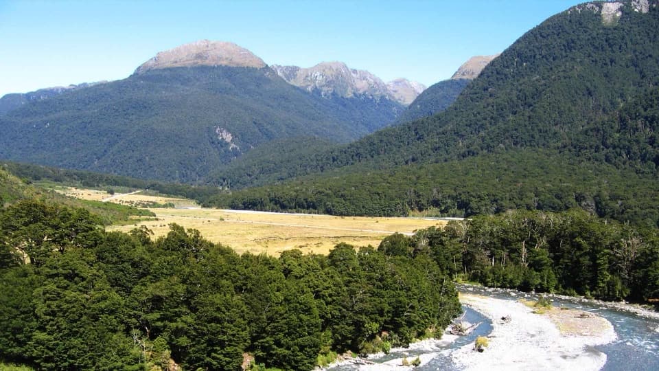 EasyCameron Lookout Walk1 km · 20 min · 9.8 km awayA short beech-forest climb to a platform above Cameron Creek.
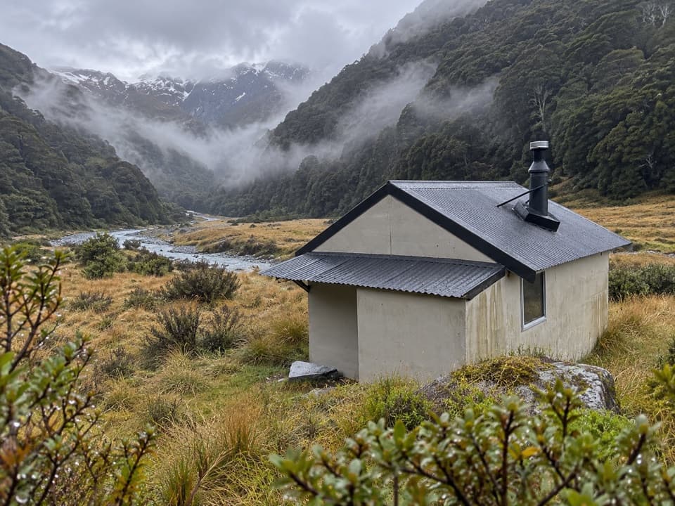 ChallengingCameron Valley Track to Cameron Hut14 km · 11 hr · 9.8 km awayA tiny hut beyond a steep gorge and an unbridged river.
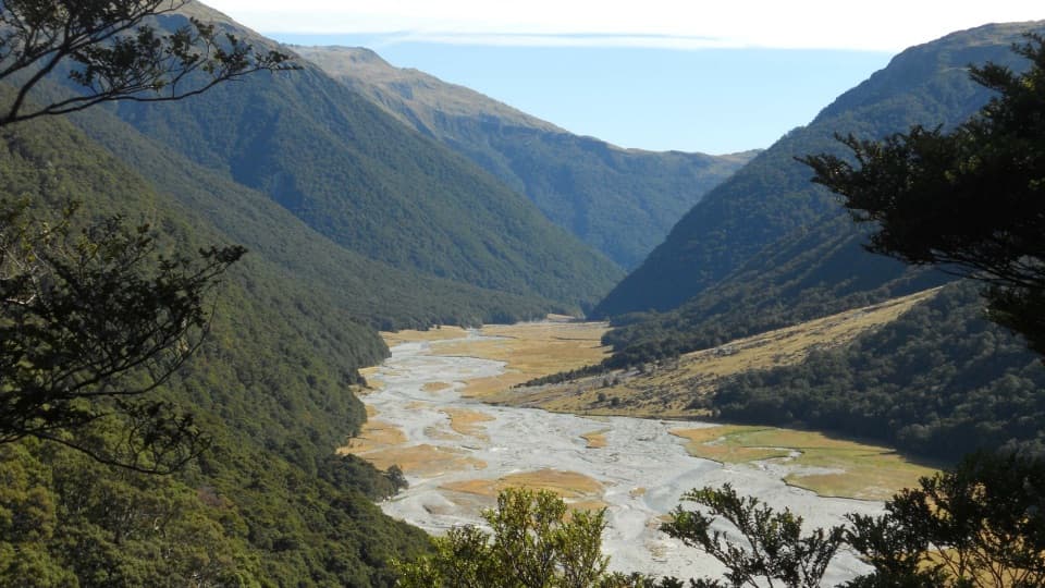 ChallengingMakarora Valley Track21 km · 12 hr · 12.4 km awayA long backcountry tramp to a four-bunk hut beneath Mount Brewster.
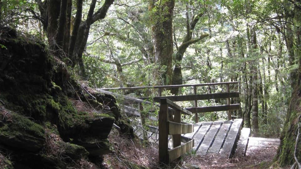 EasyBridle Track3.5 km · 1.5 hr · 13.3 km awayA well-graded 3.5 km walk between Davis Flat and Haast Pass.
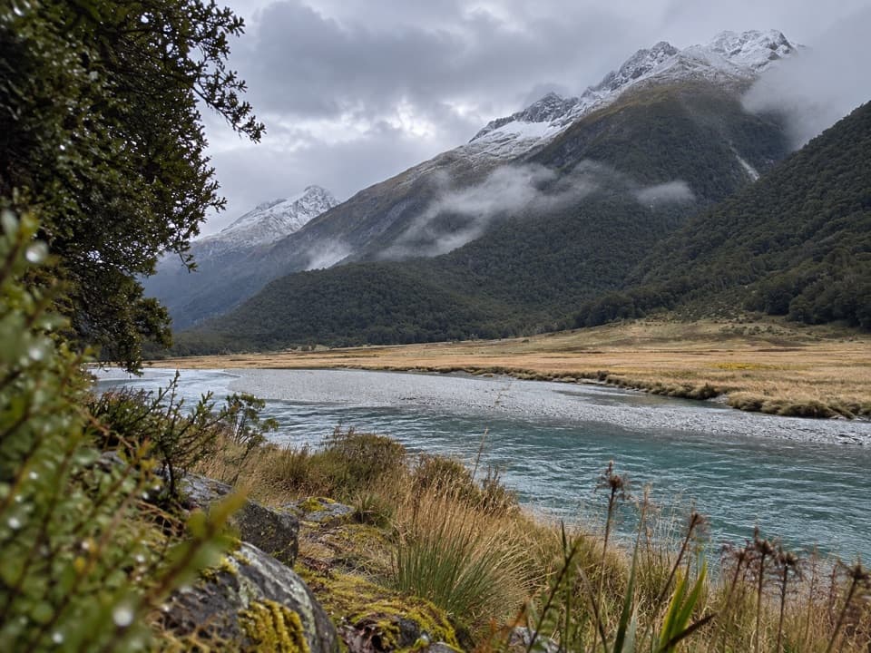 Sight · 0.3 km awaySiberia ExperienceA flight in, a marked valley walk, and a jetboat ride out.
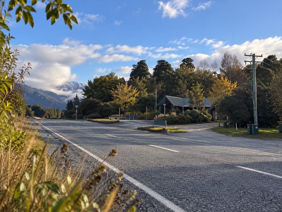 Gas station · 0.4 km awayMakarora Fuel at WonderlandA useful remote-road top-up, if fuel is in stock.Sight · 7.9 km awayBlue PoolsSnow-fed pools and two swing bridges, reached through beech forest.
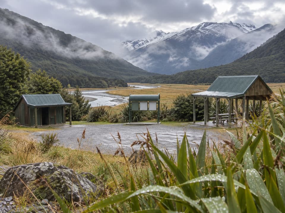 Campground · 8.6 km awayCameron Flat CampsiteA handy riverside camp for a Blue Pools morning.
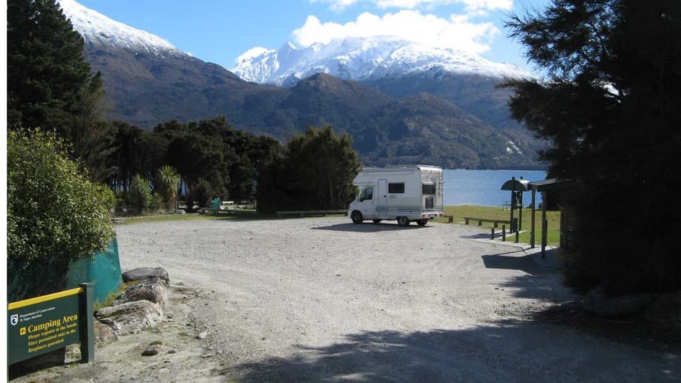 Campground · 14.6 km awayBoundary Creek CampsiteA simple lakeside stop on the road to Haast Pass.
Parkwolf’s Queenstown-Lakes District ranking

The audio tour guide for the drive, plus offline maps, trails, and wildlife heatmaps for when the signal drops.





