Parking
The described start is the sharp right-angle bend on Glencoe Road. No designated car park or parking capacity was verified; keep gates clear and confirm access with the land manager before stopping or setting out.
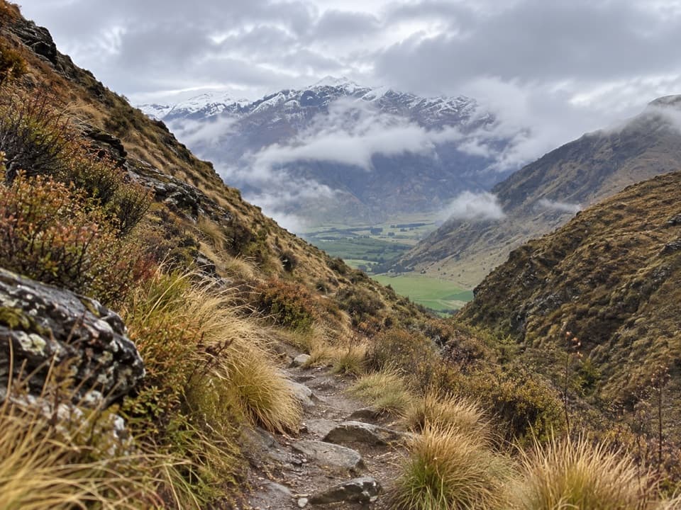
Queenstown-Lakes District, New Zealand, OT
A paddock crossing and narrow gorge lead to a tucked-away saddle.
Overview
Map & elevation
Plan your hike

The highest, rockiest slopes around here are a summer buffet for grizzly bears.
Queenstown-Lakes District Tour Guide
Parkwolf is a GPS audio tour guide for Queenstown-Lakes District, New Zealand. As you drive, it chimes in with what’s ahead: hidden gems, upcoming stops, history, geology, and wildlife, right through your car’s speakers.
See the Queenstown-Lakes District audio tourRecorded for this area
The Layers Inside a Hailstone“Some hailstones have alternating layers of clear and cloudy ice. Those bands record changing conditions inside a thunderstorm.”
Plays on the road 1.9 km from the trailhead in the Parkwolf Queenstown-Lakes District Tour Guide.
More stories near here in the app
“Fantastic app with many points of information… It’s great to just turn on while you’re driving and it gives you an audio tour of the national Park. We love it!!!!”


Trail guide
Brackens Saddle Track is a roughly 3.6 km (2.2 mi) out-and-back from the sharp bend on Glencoe Road to Brackens Saddle. The mapped corridor is about 1.8 km each way. Allow around 1½ hours with a short pause; the route map estimates 45 minutes to the saddle and 30 minutes back. It is short, but the hillside track is uneven and has a narrow gorge as its main attraction.
Follow the track beside paddocks, cross one to reach a water race, then climb through a small, steep-sided gorge to the saddle. Some sections are narrow, rough and shaded; the track can be steep or muddy, and one account mentions minor stream crossings. The gully opens toward a green valley and mountain views. For a photo, frame the valley between the gorge sides. Turn around at the saddle for this outing; longer routes continue beyond it.
The route crosses Mahu Whenua covenant land at Glencoe Station. The walking map marks the route, but current public-entry and gate arrangements could not be confirmed, so check with the land manager before going. No designated parking, toilets, drinking water or dog rule was verified at the start. Keep gates clear and bring what you need.
Wildlife
 194 sightingsKeaMost seen around 5 PMSighting map
 18 sightingsKākāMost seen around 6 PMSighting map
 198 sightingsKererūMost seen around 10 AMSighting map
 53 sightingsWekaMost seen around 6 PMSighting map
 245 sightingsTūīMost seen around 8 AMSighting map
 98 sightingsBellbirdMost seen around 6 AMSighting map
Sighting maps show where each species has been reported across Queenstown-Lakes District. Wildlife moves, so no sighting is guaranteed.
Keep exploring
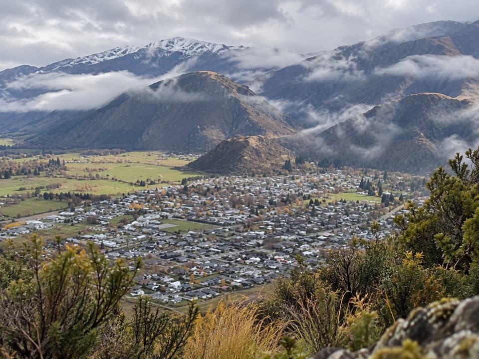 ModerateTobins Track4.7 km · 1.5 hr · 2.7 km awayWork uphill for Arrowtown and the basin spread out below.
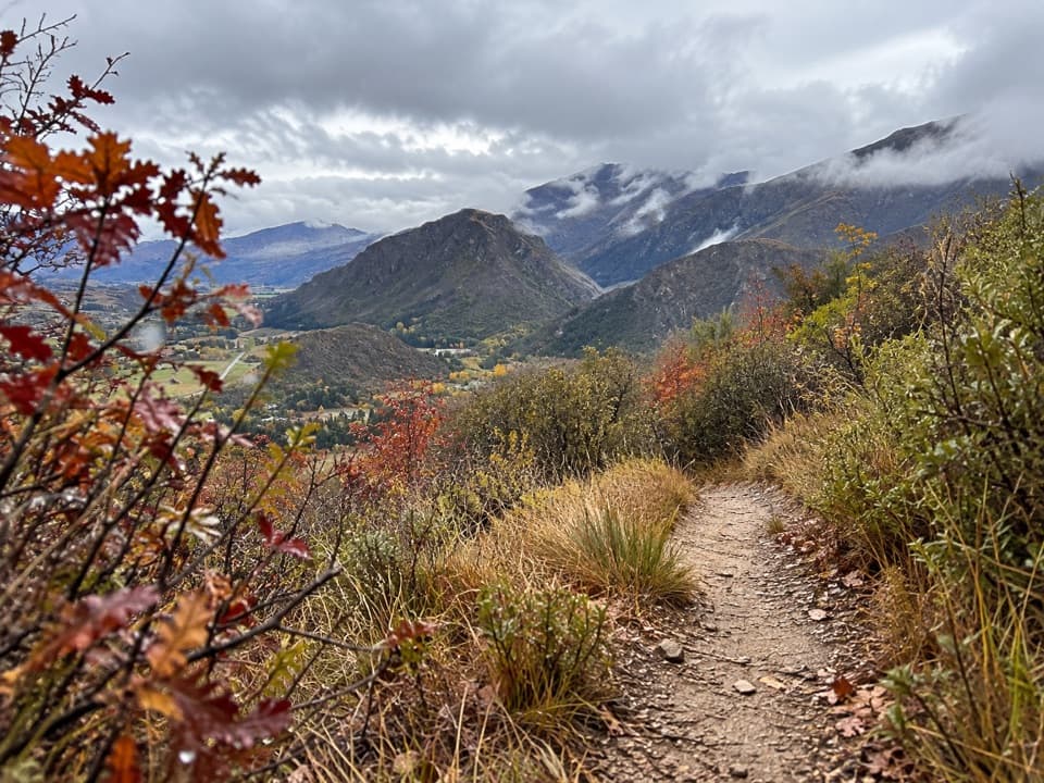 ModerateNew Chum Gully Track7.5 km · 3 hr · 2.8 km awayA steep loop through gold-rush gullies to broad basin views
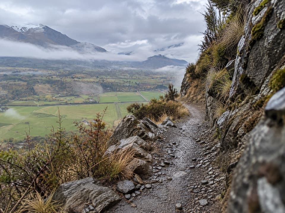 ChallengingCoronet Loop Trail49.9 km · 16 hr · 3.6 km awayMining water race and remote valleys on a huge loop.
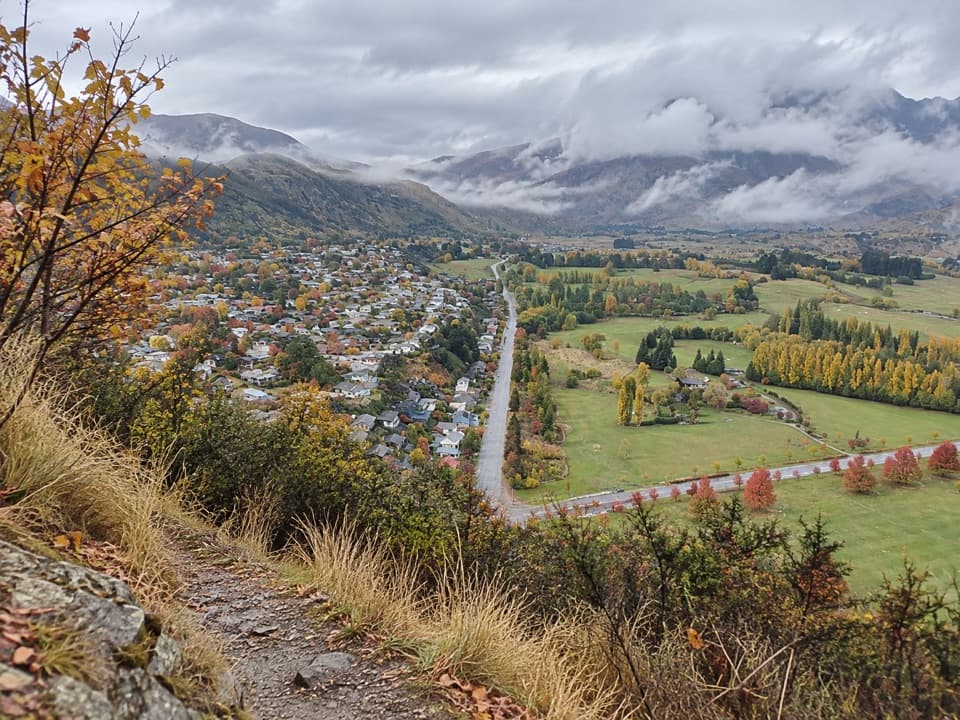 ModerateFeehly Hill Loop1.8 km · 54 min · 3.7 km awayA short, steep climb that earns a wide Arrowtown view.
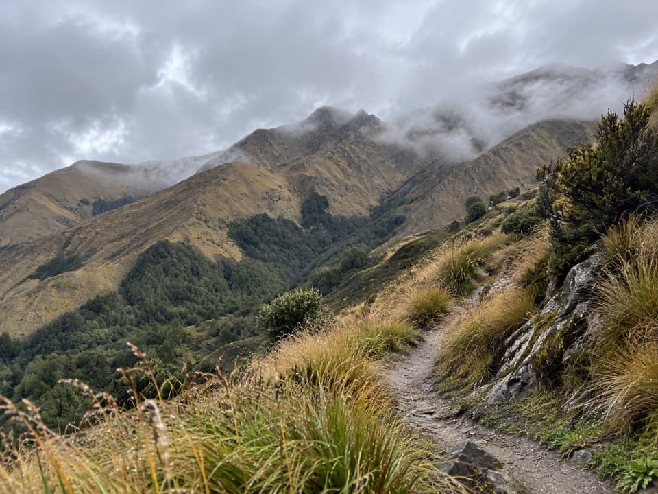 ChallengingBrow Peak Trail14.6 km · 6.5 hr · 3.7 km awayA full-day climb to an exposed alpine ridge above Arrowtown.
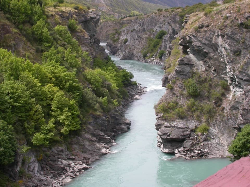 ModerateArrow River Bridges Trail13.3 km · 4 hr · 3.7 km awayFive river bridges lead to an 1880 gorge landmark.
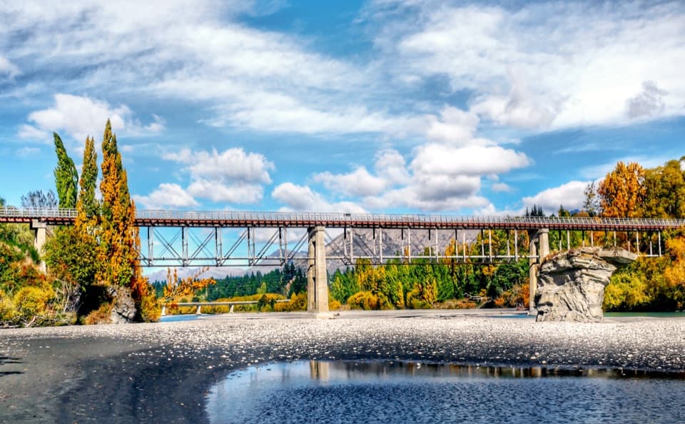 ModerateCountryside Trail12.8 km · 3 hr · 3.7 km awayA basin crossing, Slope Hill climb, and a Shotover bridge finish.
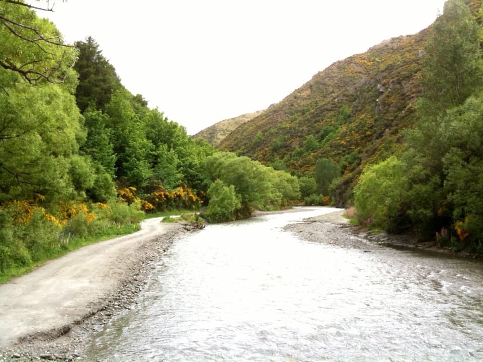 ChallengingMacetown Road Walk to Macetown Historic Reserve15 km · 3.5 hr · 3.8 km awayA long river road ends at an unusually intact gold-rush town.
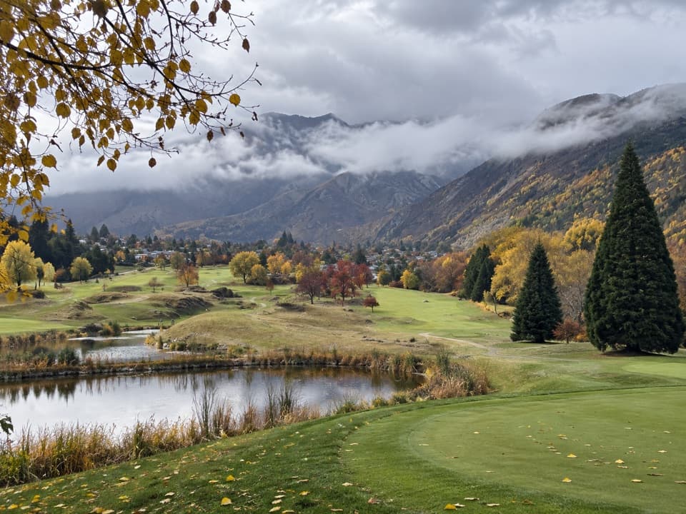 Sight · 1.9 km awayArrowtown Golf ClubMountain views for a round that rewards accuracy over distance.
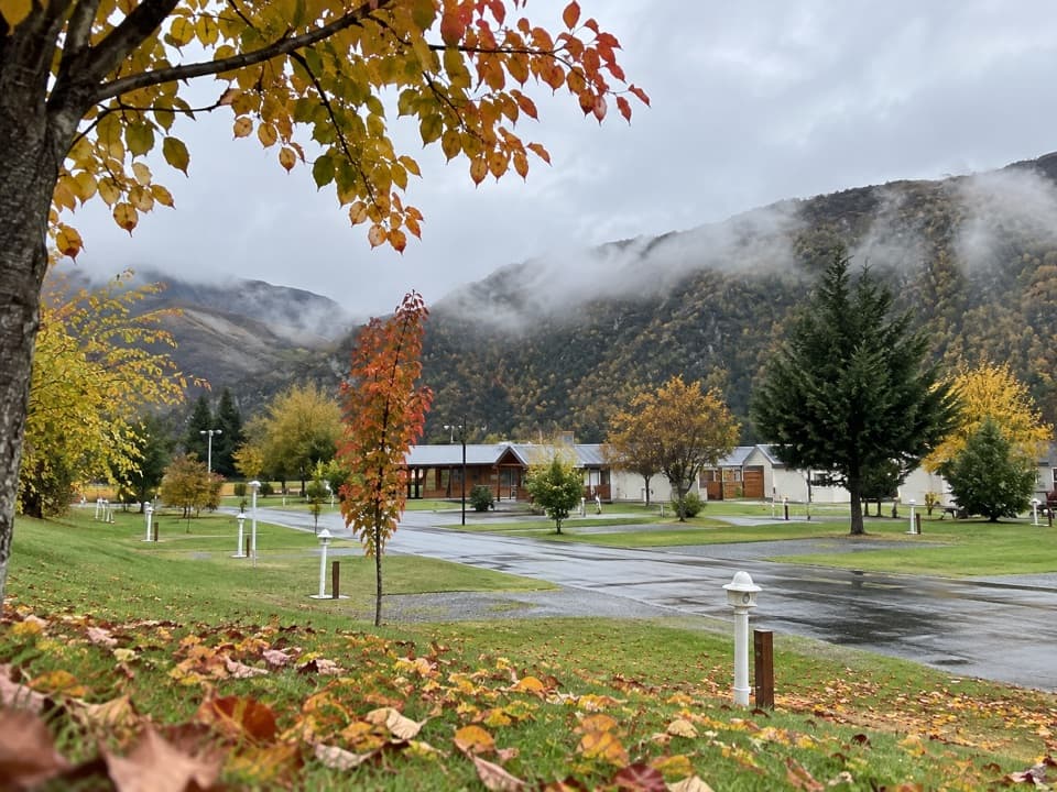 Campground · 2.8 km awayHampshire Holiday Parks – ArrowtownA walkable Arrowtown base, from tent sites to ensuite studios.
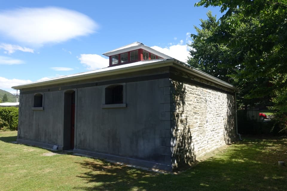 Sight · 3.1 km awayArrowtown GaolA 1876 gaol whose poor design helped write its escape story.
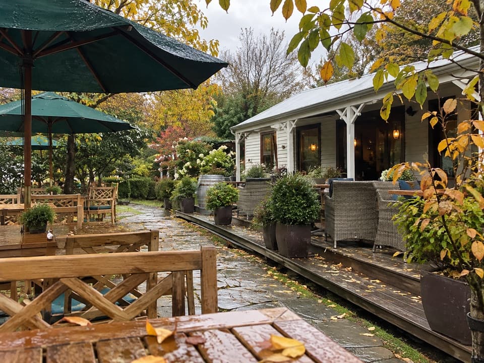 Restaurant · 3.3 km awayProvisions of ArrowtownA garden café in an Arrowtown miners’ cottage.
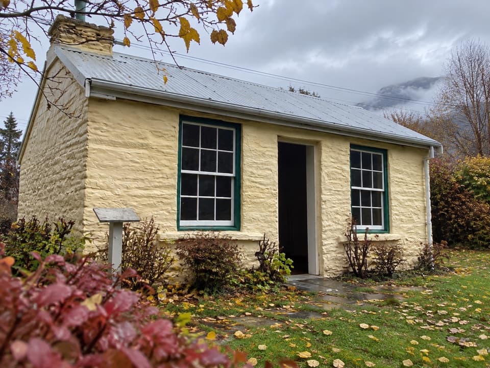 Sight · 3.3 km awayMary MacKillop CottageA gold-rush cottage with a close link to Mary MacKillop.
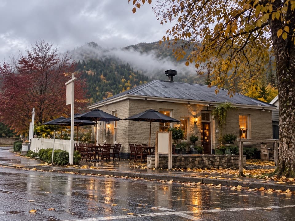 Restaurant · 3.3 km awayThe Fork and TapA 1874 pub for craft beer and a sunny garden meal.
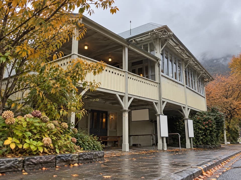 Sight · 3.4 km awayLakes District Museum & GalleryGold-rush streets and an 1875 bakery bring the town's past indoors.
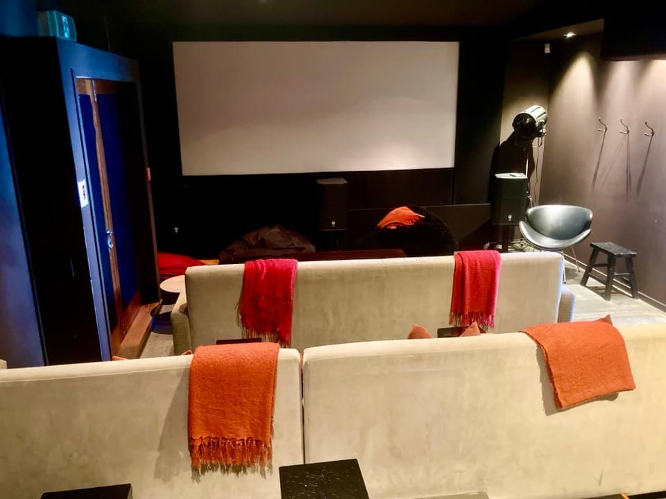 Sight · 3.5 km awayDorothy Browns Cinema, Bookstore and BarArrowtown’s boutique cinema adds a bookshop and bar to the night out.
Parkwolf’s Queenstown-Lakes District ranking

The audio tour guide for the drive, plus offline maps, trails, and wildlife heatmaps for when the signal drops.





