Parking
Arrowtown riverside parking near the Arrow River and Norman Smith Bridge; start on the Arrow River Bridges Trail where it meets Tobins Track.
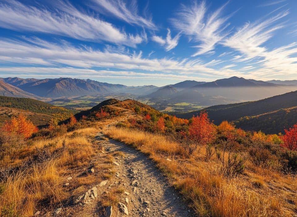
Queenstown-Lakes District, New Zealand, OT
Arrowtown loop over Tobins and New Chum Gully with exposed ridge views
Overview
A 7.5 km (4.7 mile) loop from Arrowtown follows Tobins Track to the New Chum Gully Track, crosses the Glencoe Station ridgeline and gully, then returns by the Arrow Gorge Track and riverside paths. Allow about 3 hours for the complete loop. The route delivers broad views over the Arrow Gorge and Wakatipu Basin, with especially good colour in autumn.
Map & elevation
Plan your hike

The highest, rockiest slopes around here are a summer buffet for grizzly bears.
Queenstown-Lakes District Tour Guide
Parkwolf is a GPS audio tour guide for Queenstown-Lakes District, New Zealand. As you drive, it chimes in with what’s ahead: hidden gems, upcoming stops, history, geology, and wildlife, right through your car’s speakers.
See the Queenstown-Lakes District audio tourRecorded for this trailhead
New Chums Gully: An Underrated Arrowtown Hike“Coming up is access to the New Chums Gully Track, a loop hike that's a real local's secret in Arrowtown. While many visitors stick to the riverside paths, this track offers something more challenging.”
Plays as you drive up to this trailhead in the Parkwolf Queenstown-Lakes District Tour Guide.
More stories near here in the app
“Fantastic app with many points of information… It’s great to just turn on while you’re driving and it gives you an audio tour of the national Park. We love it!!!!”


Trail guide
Start and finish at the Arrow River/Norman Smith Bridge access. Follow Tobins Track to the signed New Chum turn, then take the full New Chum line across the ridge and through the gully. Continue over the mapped connector to Arrow Gorge Track and follow the gorge and river-side paths back to the start. The route is a loop; do not substitute the longer Tobins or Sawpit variants at unsigned junctions.
Expect a moderate-to-difficult walk with a steep, narrow and sometimes exposed gorge-side section, rough singletrack, short 4WD/track sections, a stream crossing and uneven ridgeline terrain. Views include the Arrow Gorge, Arrowtown and the Wakatipu Basin; the deciduous vegetation is particularly attractive in autumn.
Use Arrowtown riverside parking near the Arrow River and begin at the Norman Smith Bridge/Arrow River Bridges Trail access. The track crosses private farmland at Glencoe Station: respect stock, leave gates as found and keep dogs leashed. Wear sturdy footwear and avoid the exposed sidlings in wet, icy or snowy conditions; carry a phone topo because some turns are unsigned.
Wildlife
 189 sightingsKeaMost seen around 5 PMSighting map
 18 sightingsKākāMost seen around 6 PMSighting map
 195 sightingsKererūMost seen around 10 AMSighting map
 48 sightingsWekaMost seen around 6 PMSighting map
 239 sightingsTūīMost seen around 8 AMSighting map
 97 sightingsBellbirdMost seen around 6 AMSighting map
Sighting maps show where each species has been reported across Queenstown-Lakes District. Wildlife moves, so no sighting is guaranteed.
Keep exploring
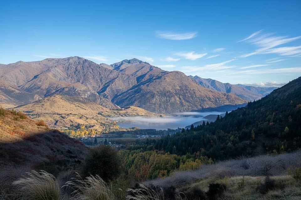 ModerateSawpit Gully Track7.9 km · 2.5 hr · 0.9 km awayGold mining history and big views on a punchy Arrowtown loop.
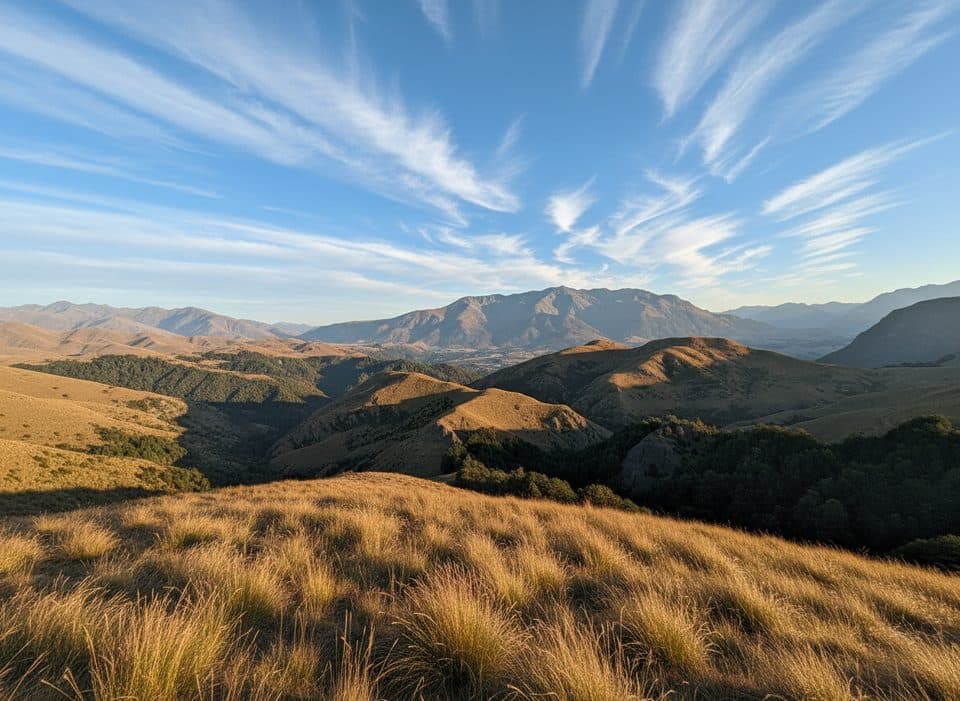 ChallengingBig Hill Track15.1 km · 5.5 hr · 1 km awayHistoric gold-era bridle route from Arrowtown to Big Hill Saddle with broad Otago views
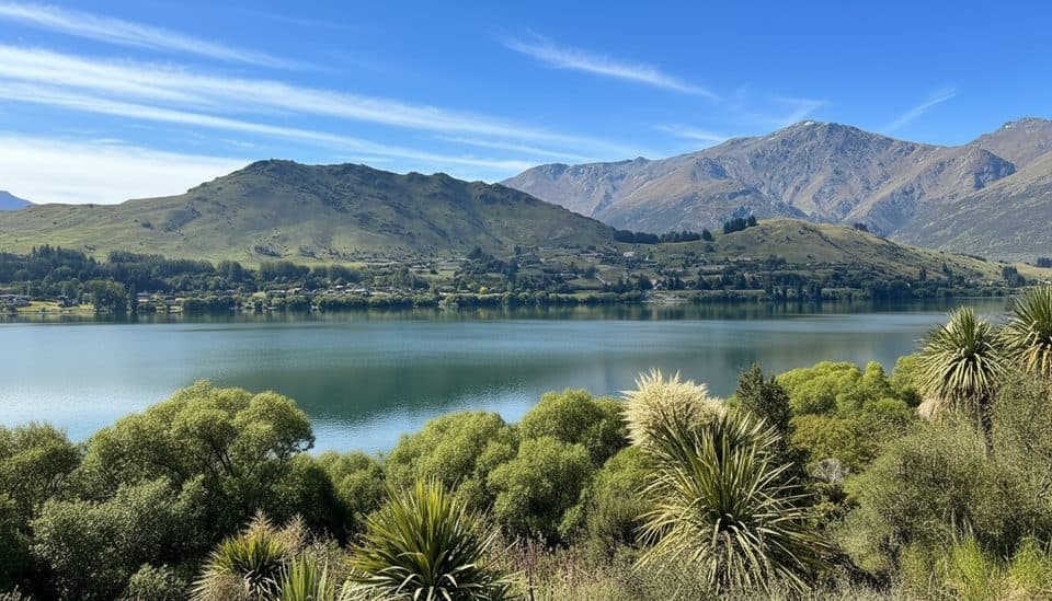 EasyLake Hayes Walkway8 km · 2.5 hr · 3.9 km awayEasy 8 km lake loop with mountain views, a southern boardwalk, and autumn color.
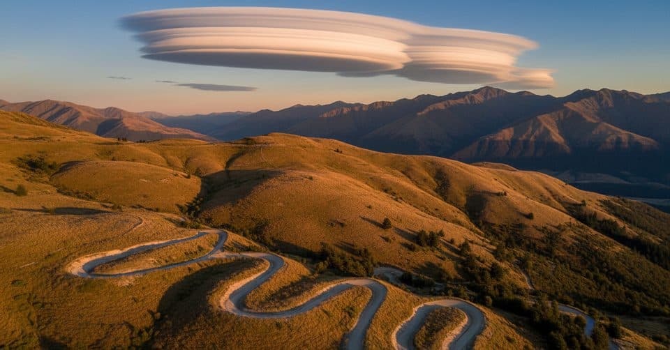 ModerateCoronet Face Water Race Track6 km · 1.3 hr · 9.8 km awayHistoric traverse with huge Wakatipu views and a few spicy edges
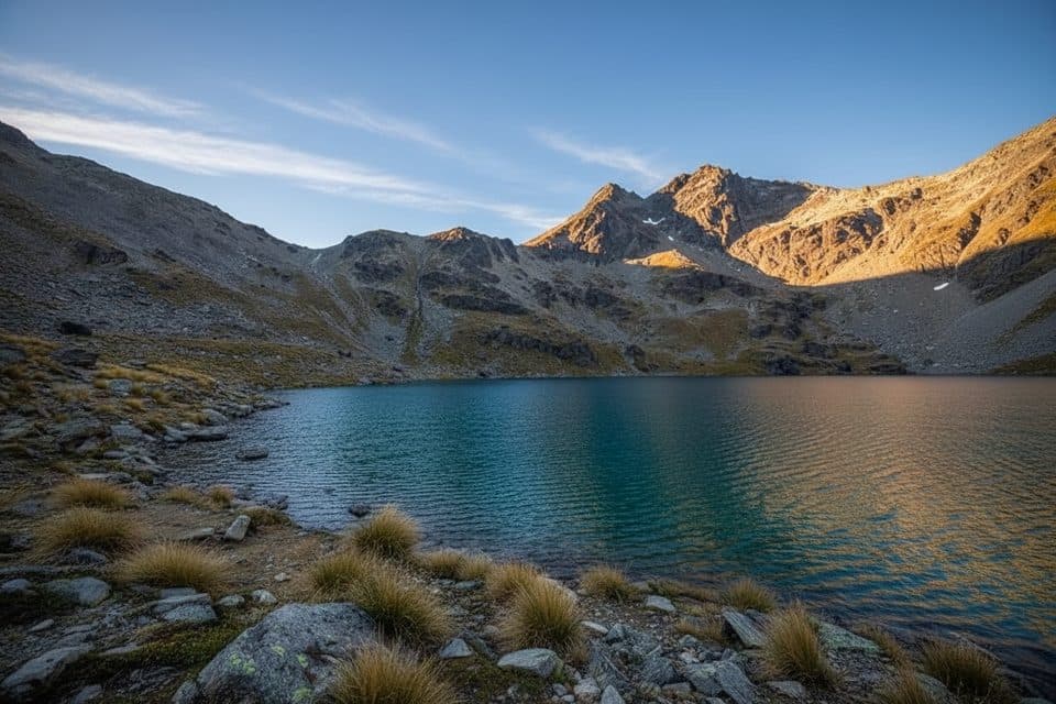 ModerateLake Alta Track3.4 km · 1.5 hr · 12.6 km awayA short, demanding climb from the Remarkables ski field to a high glacial lake.
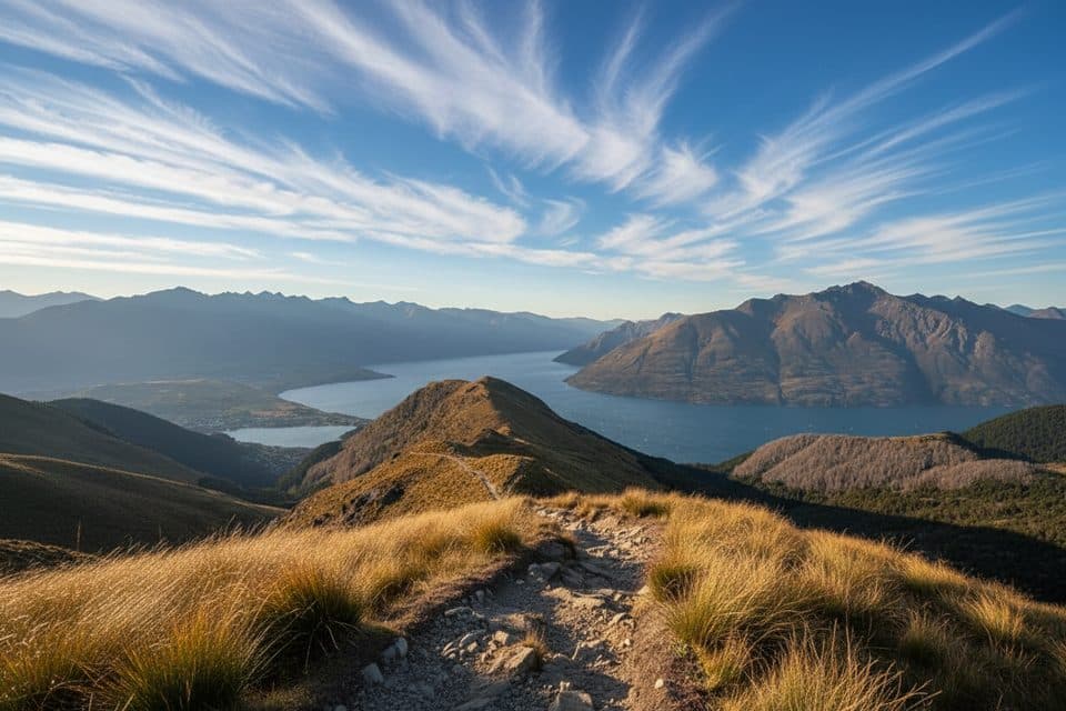 ModerateMoonlight Track14 km · 4.5 hr · 14.8 km awayHistoric one-way traverse from Arthur's Point to Moke Lake
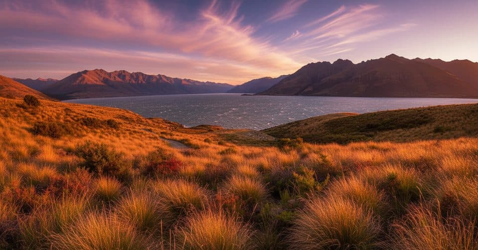 ModerateJacks Point Track12.6 km · 5 hr · 16.4 km awayExposed lakeside gravel track with big Lake Wakatipu and Remarkables views
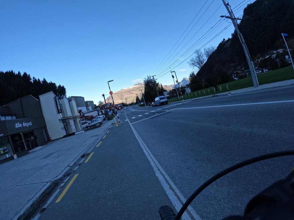 ModerateQueenstown Hill Time Walk5.5 km · 2.5 hr · 16.8 km awayA sustained 5.4 km return climb to Queenstown Hill views and the Basket of Dreams
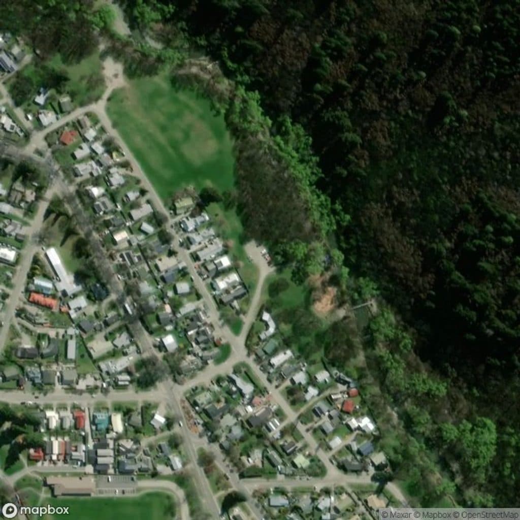 Picnic area · 0.1 km awayWilcox GreenOpen riverside green with standout autumn color and easy strolls
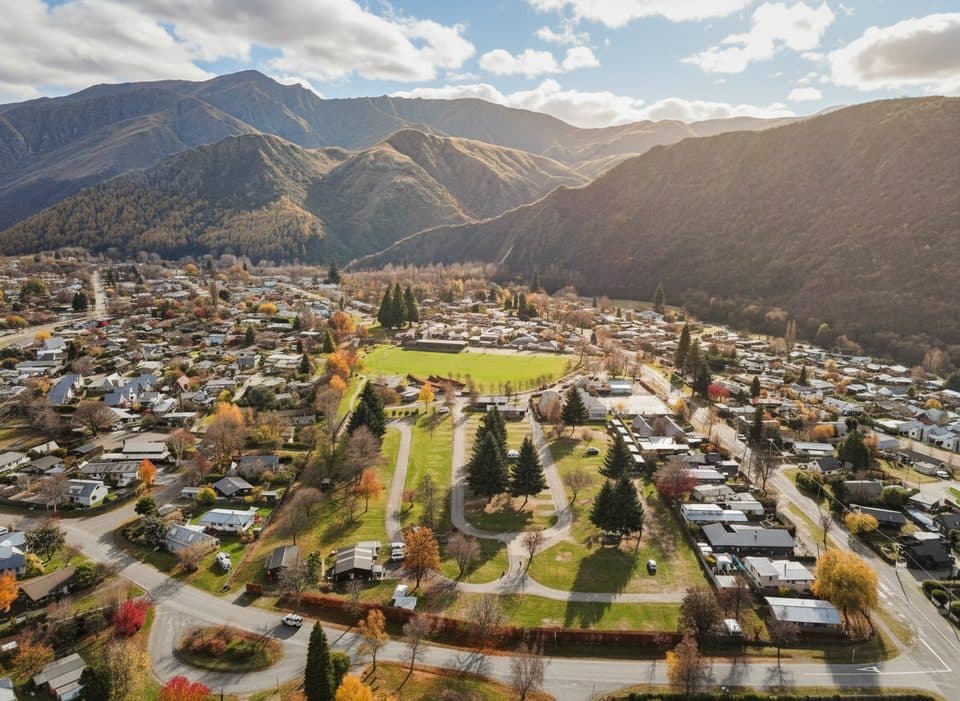 Campground · 0.4 km awayHampshire Holiday Park ArrowtownArrowtown base with sites, cabins, and a solid communal kitchen
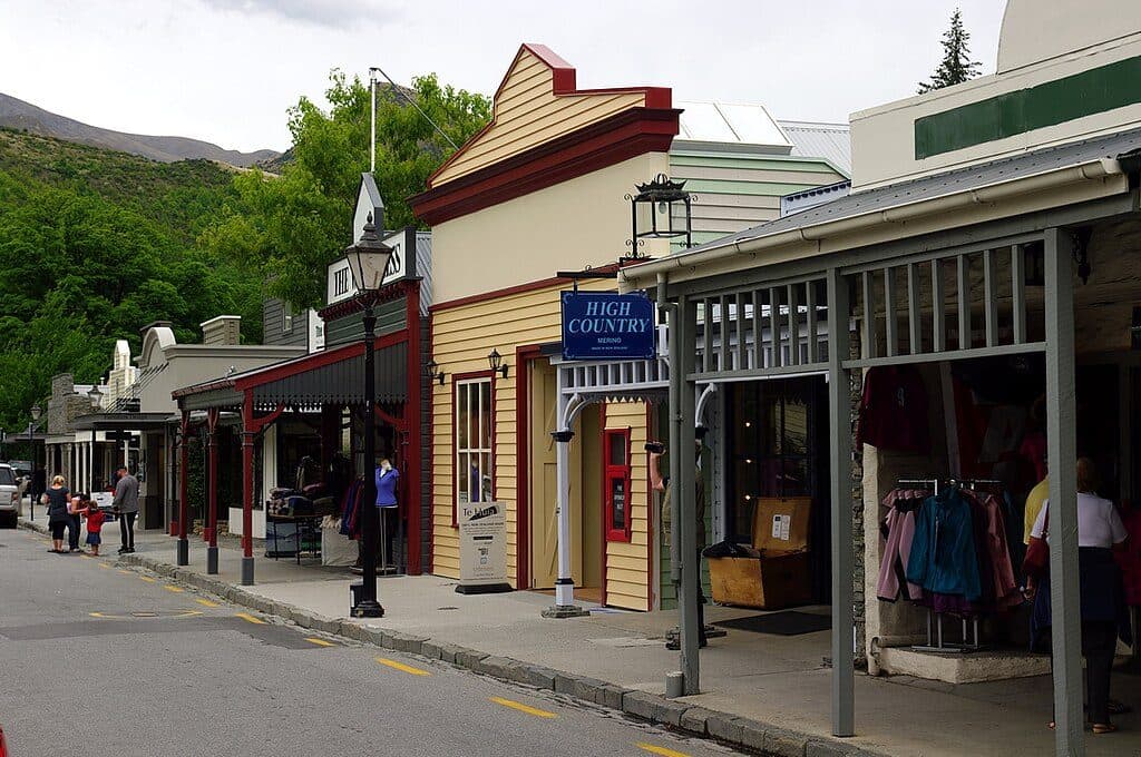 Sight · 0.7 km awayBuckingham StreetArrowtown’s gold‑rush main street of heritage shopfronts
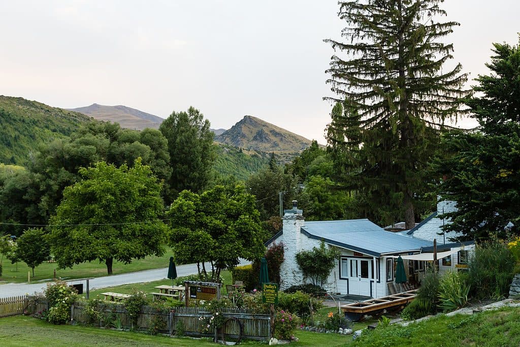 Sight · 1 km awayDudley's Cottage, ArrowtownHands-on gold panning and café at a historic Arrowtown cottage
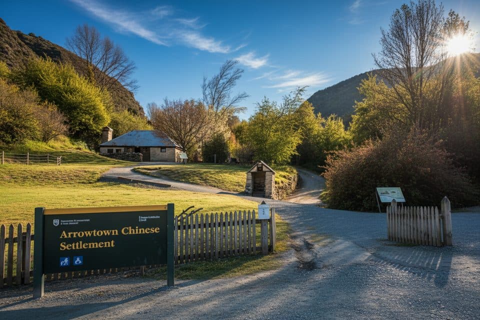 Sight · 1.1 km awayArrowtown Chinese SettlementGold-rush huts and stories tucked beside Arrow River
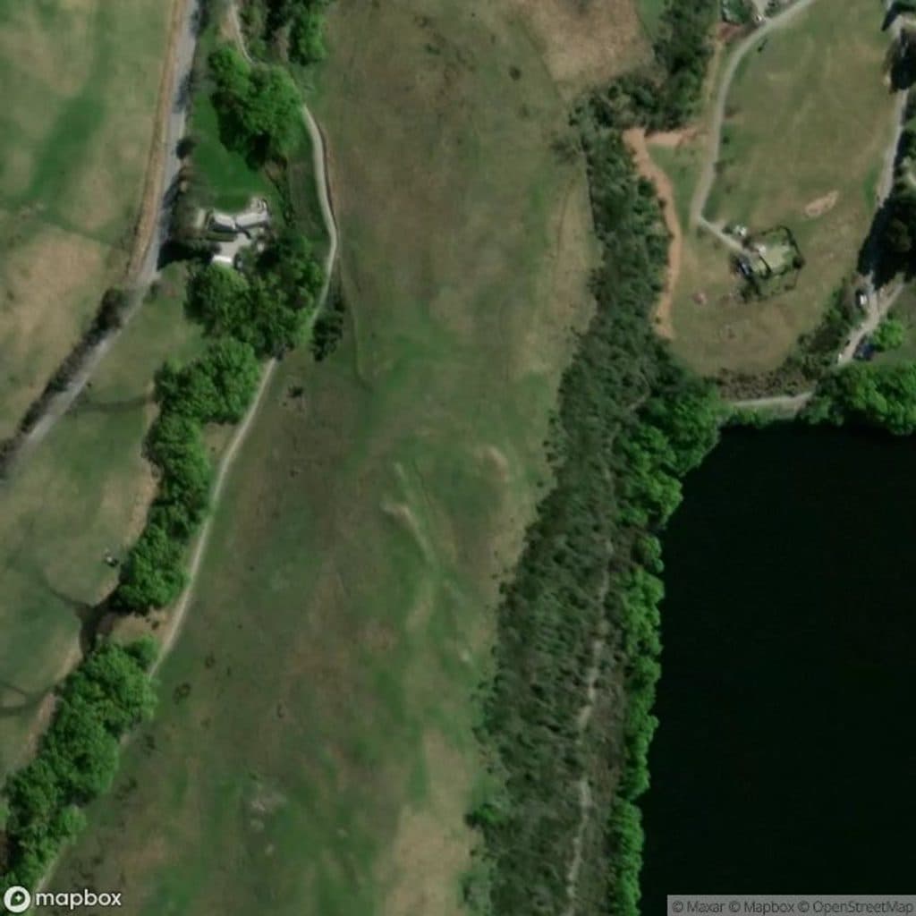 Sight · 4.1 km awayLake Hayes JettyMirror-calm jetty for easy golden-hour shots
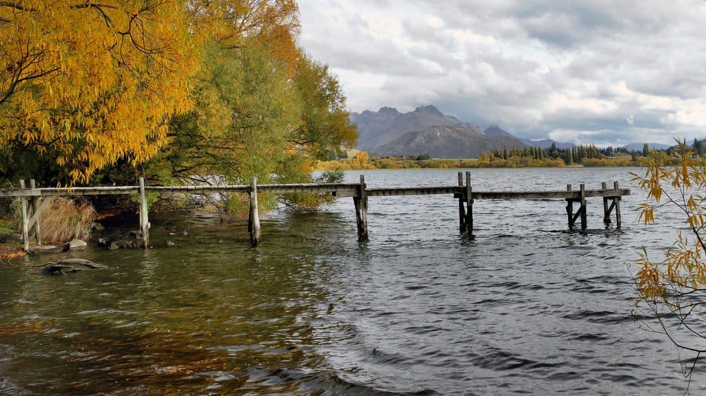 Sight · 5.2 km awayLake HayesMirror-calm lake loop with birds, reflections, and autumn color
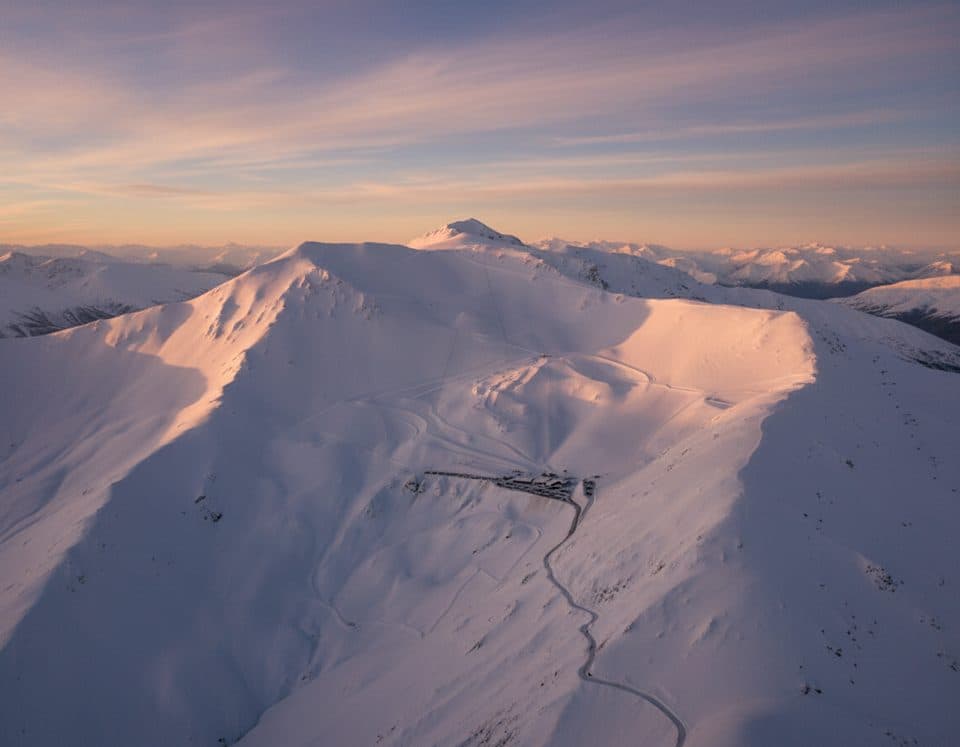 Sight · 8.4 km awayCoronet Peak Ski AreaQueenstown’s closest ski field with night skiing and big views
Parkwolf’s Queenstown-Lakes District ranking

The audio tour guide for the drive, plus offline maps, trails, and wildlife heatmaps for when the signal drops.




