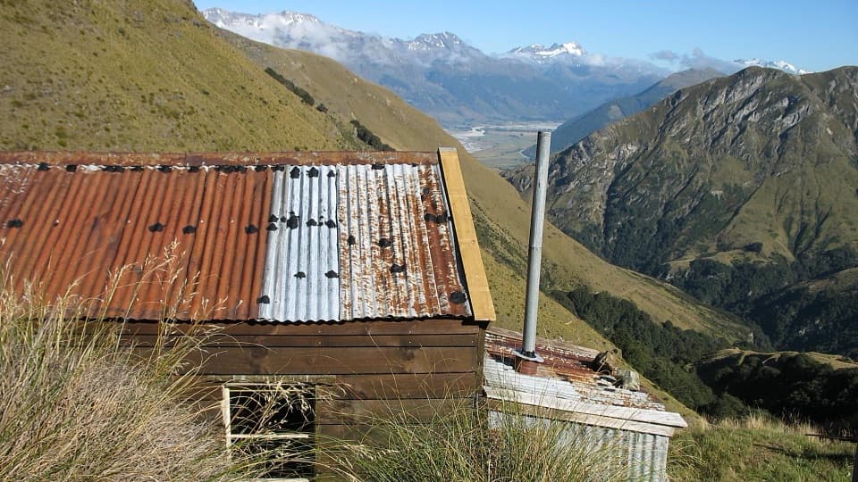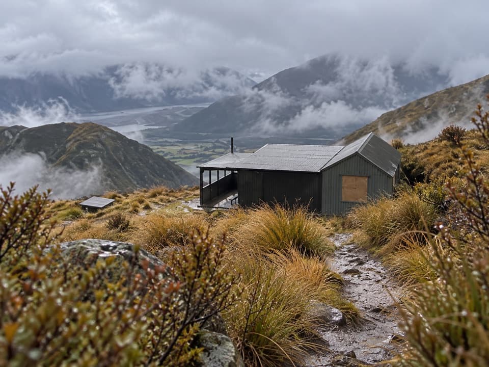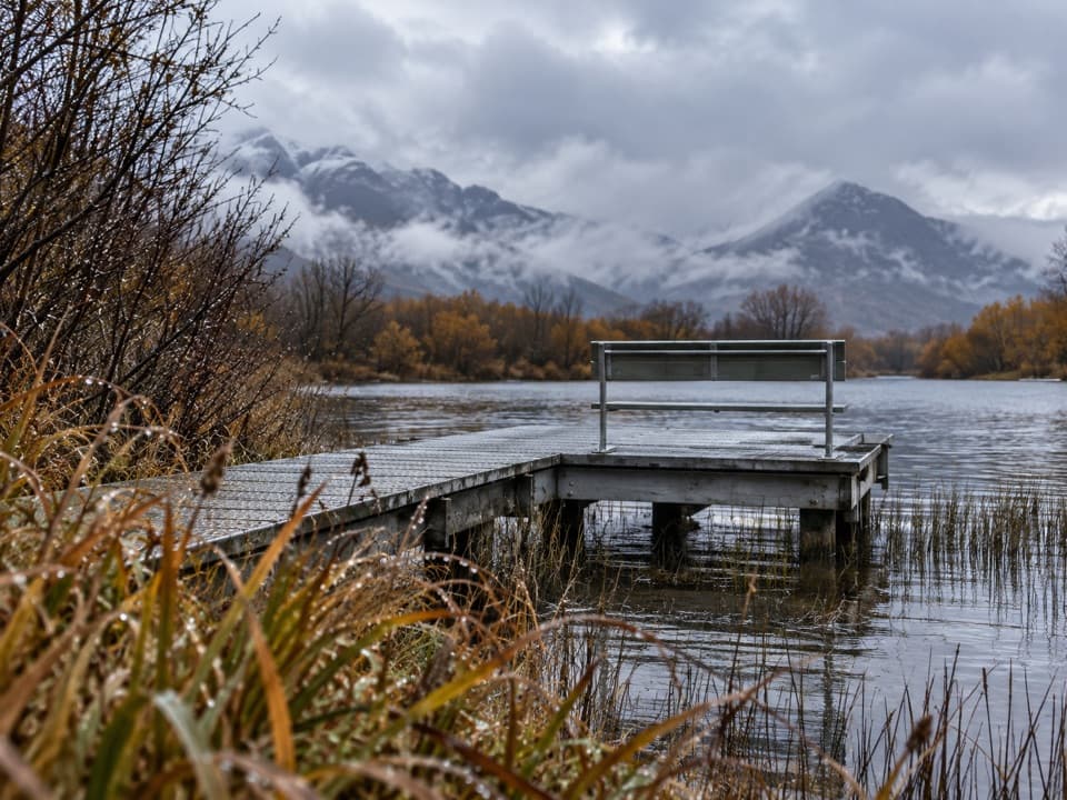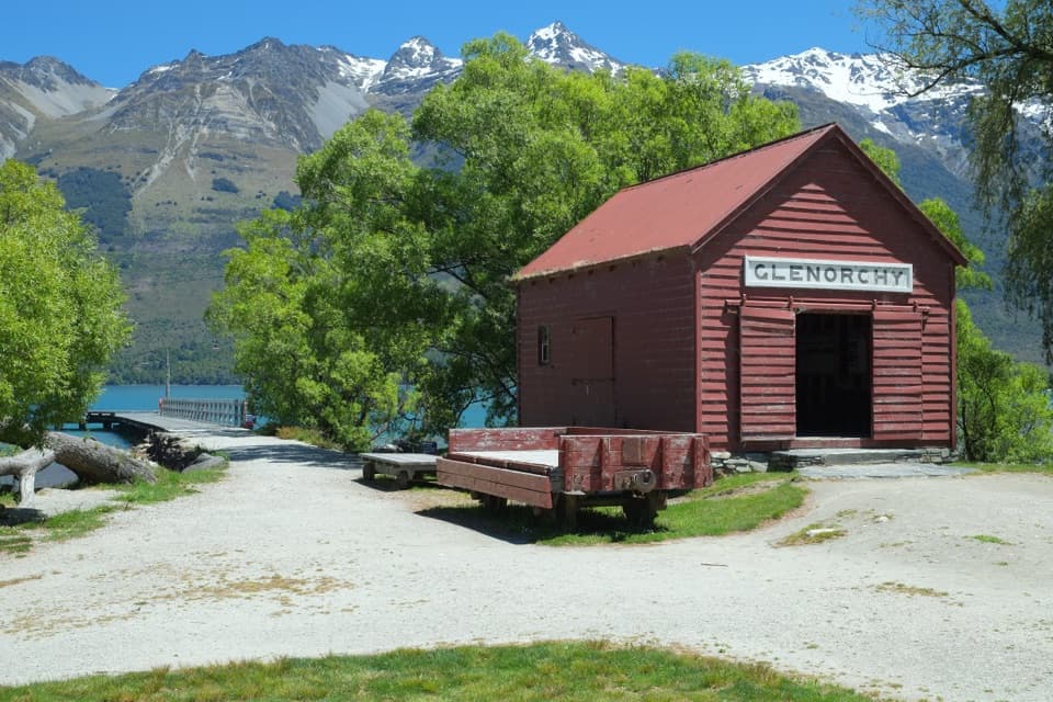
Caples Track in Queenstown-Lakes District, New Zealand

Queenstown-Lakes District, New Zealand, OT

Caples Track

A 31 km one-way valley tramp over McKellar Saddle to Lake Howden.

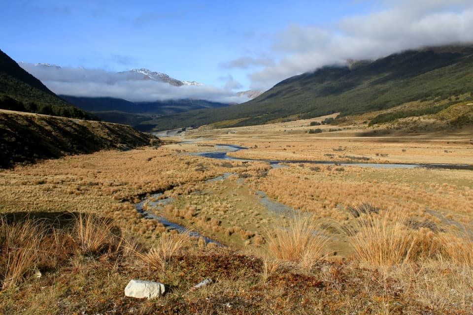
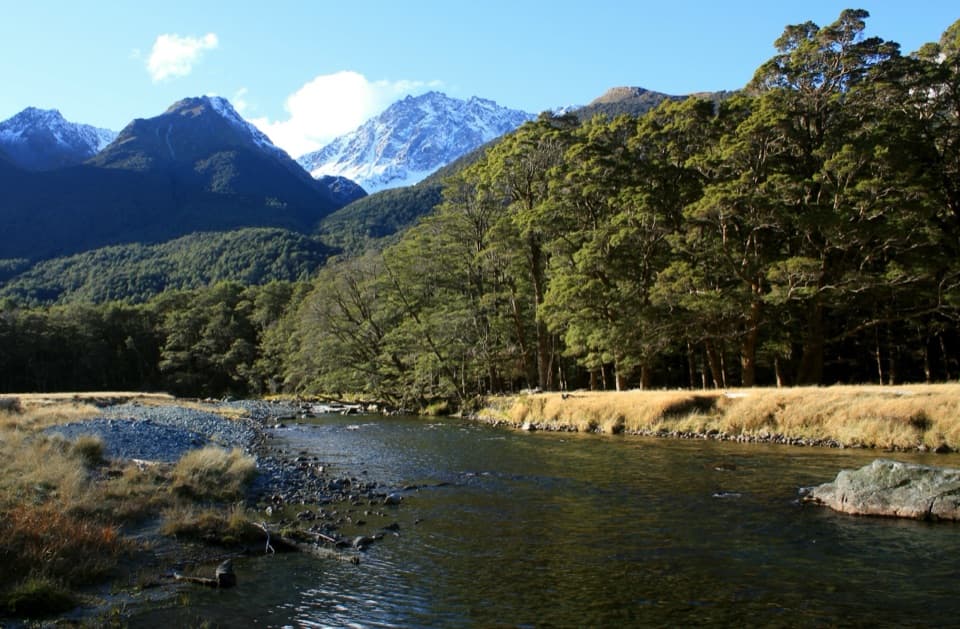
Photo: Sam Genas, Caples River.JPG, CC BY-SA 3.0, via Wikimedia Commons

Length
31km
Time
9hr
Elev. change
597m
Difficulty
Challenging
  • No dogs
  • High point 950 m
  • #45 of 155 in Queenstown-Lakes District

Hear the audio tour

Greenstone Road End and the Caples

Overview

About Caples Track

Why go

  • A complete valley crossing with a boardwalked saddle and far-reaching views.
  • River, beech forest, subalpine plants and rich travel history along one route.

Heads up

  • Long, remote point-to-point logistics need advance planning.
  • Unbridged side streams can become impassable after prolonged rain.
Caples Track is an about 31 km one-way backcountry tramp from Greenstone Road end to the Lake Howden outlet on Routeburn Track. It follows the Caples River through a narrow, forested valley, climbs over boardwalked McKellar Saddle at 945 m, then drops through bush to the Lake McKellar junction and the outlet. Do it for a long valley crossing that opens into high-country views; this is not a casual day walk. Allow roughly 8–10 hours of walking, usually spread over two days or more, and arrange transport between the two ends before setting out.
Parkwolf’s verdictIs this the hike for you?

Map & elevation

The route

Loading the Queenstown-Lakes District map
Full map
Elevation353–950 m
TrailheadGreenstone Road end-44.93389, 168.34481
Keep this map with you offline in the Parkwolf app

Plan your hike

Before you go

Parking

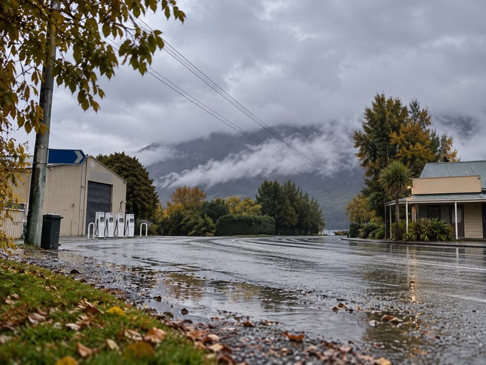
Start at Greenstone Road end car park, 86 km from Queenstown via Glenorchy. The last 11 km from Kinloch are gravel with fords, unsuitable for large campervans, and can become impassable after flooding. The other end is Lake Howden outlet, about an hour’s walk from The Divide; arrange transport before starting.

Safety

McKellar Saddle is exposed with no shelter in adverse weather. Unbridged side streams can flood after heavy or prolonged rain and become impassable. Dogs are prohibited on the route.

3 active Queenstown-Lakes District alerts

  • CautionRob Roy Track: stop at lower lookout during avalanche seasonFrom May to November, end your Rob Roy Track hike at the lower lookout: DOC strongly recommends this because the upper section crosses active avalanche paths.Official details
  • ClosureSkippers Bridge closed to all usersSkippers Bridge is closed to all vehicles, cyclists and pedestrians; stay off the bridge and obey closure signs and barriers.Official details
See all 3 alerts
A park ranger sits on a dash-mounted phone, talking, as Parkwolf’s Tour Guide plays “Army Cutworm Moths: A Grizzly Bear Buffet” on Grand Loop Road below Dunraven Pass in Yellowstone
Parkwolf Tour GuideThe highest, rockiest slopes around here are a summer buffet for grizzly bears.

Queenstown-Lakes District Tour Guide

Your drive to Caples Track, narrated.

Parkwolf is a GPS audio tour guide for Queenstown-Lakes District, New Zealand. As you drive, it chimes in with what’s ahead: hidden gems, upcoming stops, history, geology, and wildlife, right through your car’s speakers.

See the Queenstown-Lakes District audio tour

Recorded for this trailhead

Greenstone Road End and the Caples
0:00 / 0:27
“You’re coming up on Greenstone Road end, the starting point for the Greenstone and Caples tracks.”

Plays as you drive up to this trailhead in the Parkwolf Queenstown-Lakes District Tour Guide.

More stories near here in the app

  • Antlers Grown Again Each Year
  • Takahē on Returned Land
  • The Mountains That Catch the Rain
  • A Skink Warming Its Young
  • 298 audio storiesacross Queenstown-Lakes District’s roads, triggered by GPS as you drive
  • Wildlife heatmapsfor Kea, Kākā, Kererū, and 13 more
  • Works offlinemaps, 155 trails, 129 places, and audio download before you lose signal
  • CarPlay readysimple controls built for the drive
★★★★★
“Fantastic app with many points of information… It’s great to just turn on while you’re driving and it gives you an audio tour of the national Park. We love it!!!!”
JMJamesApp Store review
Download Parkwolf on the App StoreGet Parkwolf on Google Play

4.7 from 8,600+ ratings

Trail guide

Hiking Caples Track

Road end to Mid Caples HutThe first section is 9 km and 2–3 hours to Mid Caples Hut.

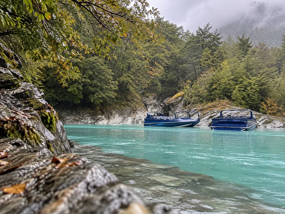
The first section is 9 km and 2–3 hours to Mid Caples Hut. A few minutes from the car park, a stock bridge leads to Lake Rere Track: stay on the left bank and keep on Caples Track. The route continues beside the river, passes the Greenstone confluence, then threads along the beech-forest edge and across occasional grassy clearings. The track crosses a striking gorge shortly before the 24-bunk hut. There are slips in this lower stretch, so poor weather can make the footing harder to read. Stay on the marked track through the valley flats.

Climbing to McKellar SaddleFrom Mid Caples, the track heads farther up the valley through beech forest and grassy openings.

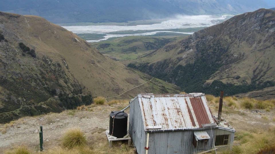
From Mid Caples, the track heads farther up the valley through beech forest and grassy openings. Side streams can rise after heavy rain. About two hours in, you reach the Steele Creek and Fraser/Kay Track junctions; from there the route steadily sidles and climbs toward the bush edge. The boardwalk across 945 m McKellar Saddle protects the fragile subalpine ground. This is the open high point, with broad views across the surrounding ranges. The pass is exposed and has no shelter in bad weather; the boardwalk and tussock also make a strong foreground if you stop for a photo.

Down to Lake HowdenWest of the saddle, the route re-enters bush and zigzags down for about an hour to open valley…

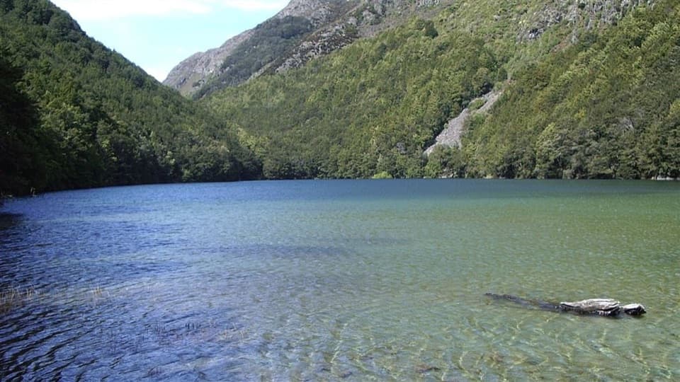
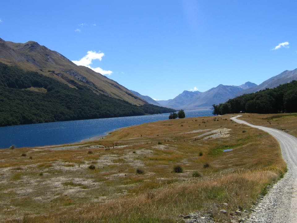
West of the saddle, the route re-enters bush and zigzags down for about an hour to open valley floor. At the junction upstream of Lake McKellar, turn right for the Routeburn Track and Lake Howden outlet; McKellar Hut is a separate left-hand spur, about an hour away. Lake Howden outlet is another trail junction, not a hut stop: the former Lake Howden Hut was destroyed in the 2020 flood and removed. The direct Caples route finishes there, where transport to the road end is a separate problem to solve.

Forest and river lifeThe forest changes with elevation.

The forest changes with elevation. Red beech grows on richer lower fans, mountain beech higher up, and silver beech appears throughout. Around the saddle, look for tussock, inaka and stunted beech. Mōhua (yellowheads), kākā and kākāriki live in the forest; kea are sometimes seen on the upper Caples, and whio use the fast streams. They're possibilities, not guaranteed sightings. The open valley flats are glacial and river gravels, while the surrounding slopes expose the area's distinctive Caples sandstone and dark serpentine rock.

A route older than its trackThe Greenstone and Hollyford valleys have long linked Lake Whakatipu with the West Coast.

The Greenstone and Hollyford valleys have long linked Lake Whakatipu with the West Coast. Waitaha, Kāti Māmoe and Ngāi Tahu used these valleys while travelling for pounamu, the greenstone that gave the region its name. European prospectors and runholders came later: Patrick Caples crossed from Lake Wakatipu to the West Coast in 1863, and farming began in the Caples Valley in 1880.

Huts, access and safetyHut stays have fees, and the campsite lawns beside the huts require bookings all year.

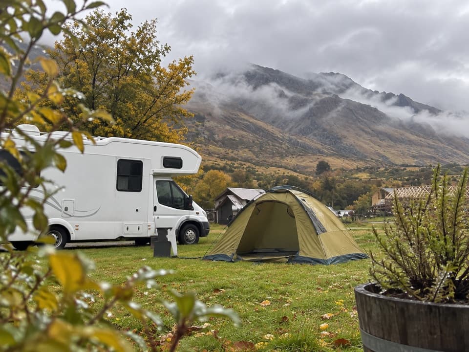
Hut stays have fees, and the campsite lawns beside the huts require bookings all year. Hut water is untreated and there are no gas stoves, so plan your own water treatment and cooking. Dogs aren't allowed. The route is remote, and unbridged side streams can become impassable after heavy or prolonged rain. McKellar Saddle has no shelter if the weather turns; be ready to stop short or wait it out rather than push across the pass.

Wildlife

Wildlife in Queenstown-Lakes District

All Queenstown-Lakes District wildlife maps

Sighting maps show where each species has been reported across Queenstown-Lakes District. Wildlife moves, so no sighting is guaranteed.

Keep exploring

Near Caples Track

See it all on the map

Trails that start nearby

Places near the trailhead

Parkwolf’s Queenstown-Lakes District ranking

Top-rated trails in Queenstown-Lakes District

All 155 trails
  1. 1Routeburn TrackChallenging · 33.1 km
  2. 2Roys Peak TrackChallenging · 16 km
  3. 3Ben Lomond TrackChallenging · 14 km
  4. 4Rob Roy TrackModerate · 10 km
  5. 5Isthmus Peak TrackChallenging · 16 km
  6. 6Routeburn Falls TrackChallenging · 19.6 km

Take Parkwolf to Queenstown-Lakes District.

The audio tour guide for the drive, plus offline maps, trails, and wildlife heatmaps for when the signal drops.

4.7 from 8,600+ ratings

Download Parkwolf on the App StoreGet Parkwolf on Google Play