Parking
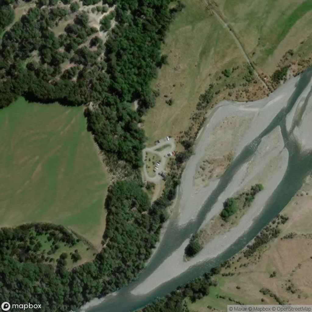
Carpark at the end of Greenstone Road via Glenorchy/Kinloch; last 11 km is backcountry gravel with fords and not suitable for large campervans.
Queenstown-Lakes District, New Zealand, OT
Quieter four day loop over McKellar Saddle with hut to hut comfort
Overview
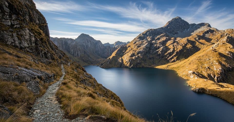
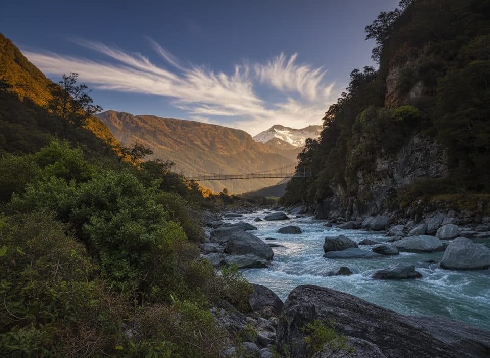
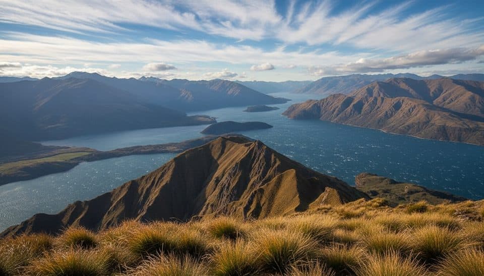
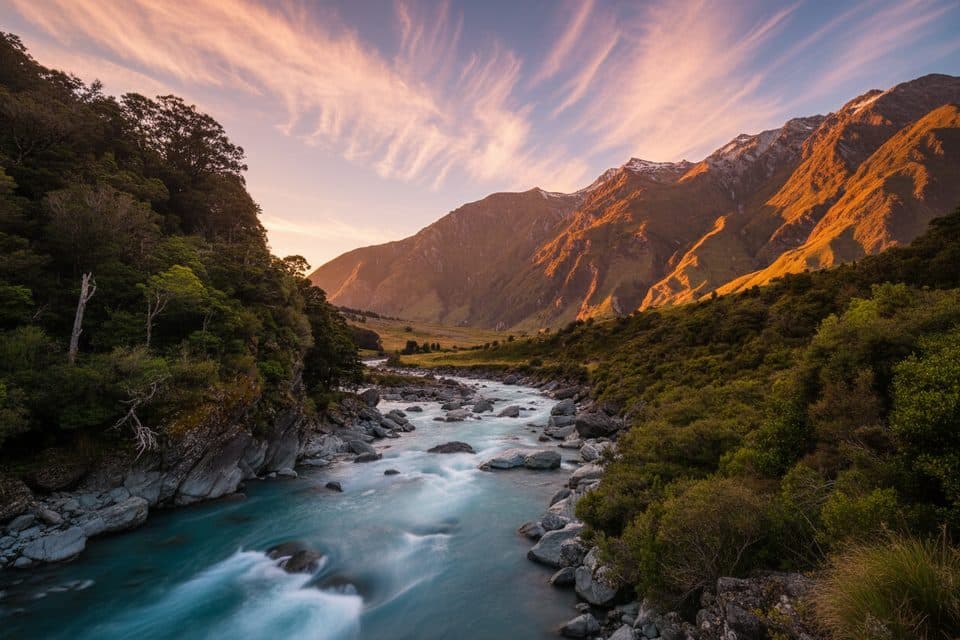
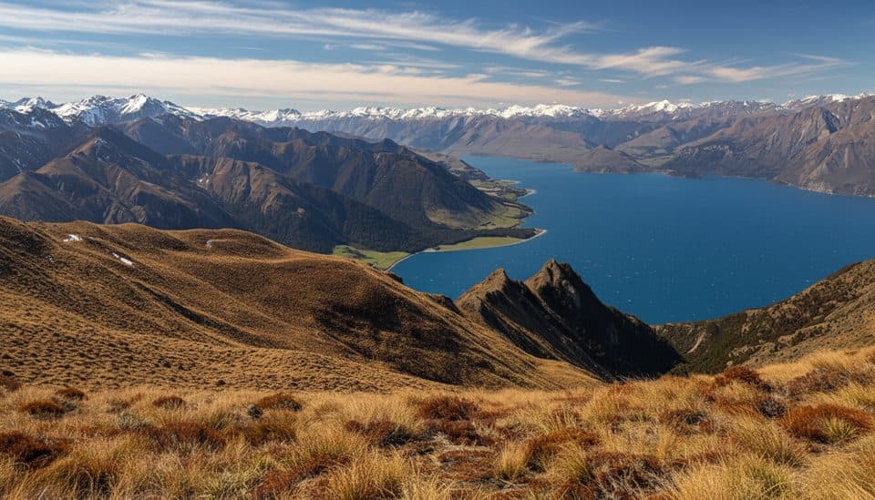
A mellow, four‑day backcountry loop through the Greenstone and Caples valleys, this circuit delivers big South Island scenery without Great Walk crowds. Expect well‑formed valley tracks, open tussock flats, and one subalpine crossing of McKellar Saddle (945 m). Total distance is about 61 km (≈37.9 miles) for the full loop.
Map & elevation
Plan your hike

The highest, rockiest slopes around here are a summer buffet for grizzly bears.
Queenstown-Lakes District Tour Guide
Parkwolf is a GPS audio tour guide for Queenstown-Lakes District, New Zealand. As you drive, it chimes in with what’s ahead: hidden gems, upcoming stops, history, geology, and wildlife, right through your car’s speakers.
See the Queenstown-Lakes District audio tourRecorded for this trailhead
Greenstone Car Park: A Tale of Two Hikes“You're getting close to the Greenstone Car Park, the main trailhead at the end of the road. This spot is the beginning of two very different hikes.”
Plays as you drive up to this trailhead in the Parkwolf Queenstown-Lakes District Tour Guide.
More stories near here in the app
“Fantastic app with many points of information… It’s great to just turn on while you’re driving and it gives you an audio tour of the national Park. We love it!!!!”


Trail guide
DOC huts on the loop are Mid Caples (24 bunks), McKellar (24), and Greenstone (20). These huts and adjacent designated campsites require bookings year‑round. Fees: huts—Adult $25/night, Youth $12.50/night, Child free; campsites—Adult $10/night, Child $5/night, Infant free. A service fee applies to phone or in‑person bookings. Backcountry Hut Passes are valid May 1–Sep 30 only (not accepted Oct 1–Apr 30). You can also book nearby NZ Deerstalkers’ Association huts (Upper Caples, Mid Greenstone) separately. Camping is allowed beside DOC huts with a booking, and otherwise only along the bush edge on public conservation land, more than 50 m from the track; no camping on McKellar Saddle or on privately owned valley floors.
The main trailhead is the carpark at the end of Greenstone Road via Glenorchy/Kinloch (about 86 km from Queenstown). The final 11 km is a rough backcountry gravel road with fords and is unsuitable for large campervans. Transport services operate to the track ends, especially in summer.
This is a high‑rainfall area. Summer generally brings the most settled travel and the most transport options. McKellar Saddle is exposed in any season, and avalanches are a risk from May to November, particularly in the lower Greenstone Gorge. Plan conservative days around heavy rain, which can quickly push side streams out of their banks.
Keep an eye out for takahē reintroduced to these valleys, along with kea, kākā, kākāriki, tomtits, fantails, rifleman, brown creeper, South Island robins, paradise ducks, whio, and hunting New Zealand falcons. Forests are mostly southern beech, with glacially carved valleys exposing Caples Sandstone and Greenstone Mélange. Treat stream water—stock graze lower flats—while hut or higher‑elevation sources are generally safer (treatment still recommended). Parts of the track cross private farmland: stay on marked routes and don’t disturb stock. Bury toilet waste at least 50 m from tracks, huts, campsites, and water. Mountain tutu berries are poisonous.
Wildlife
 189 sightingsKeaMost seen around 5 PMSighting map
 18 sightingsKākāMost seen around 6 PMSighting map
 195 sightingsKererūMost seen around 10 AMSighting map
 48 sightingsWekaMost seen around 6 PMSighting map
 239 sightingsTūīMost seen around 8 AMSighting map
 97 sightingsBellbirdMost seen around 6 AMSighting map
Sighting maps show where each species has been reported across Queenstown-Lakes District. Wildlife moves, so no sighting is guaranteed.
Keep exploring
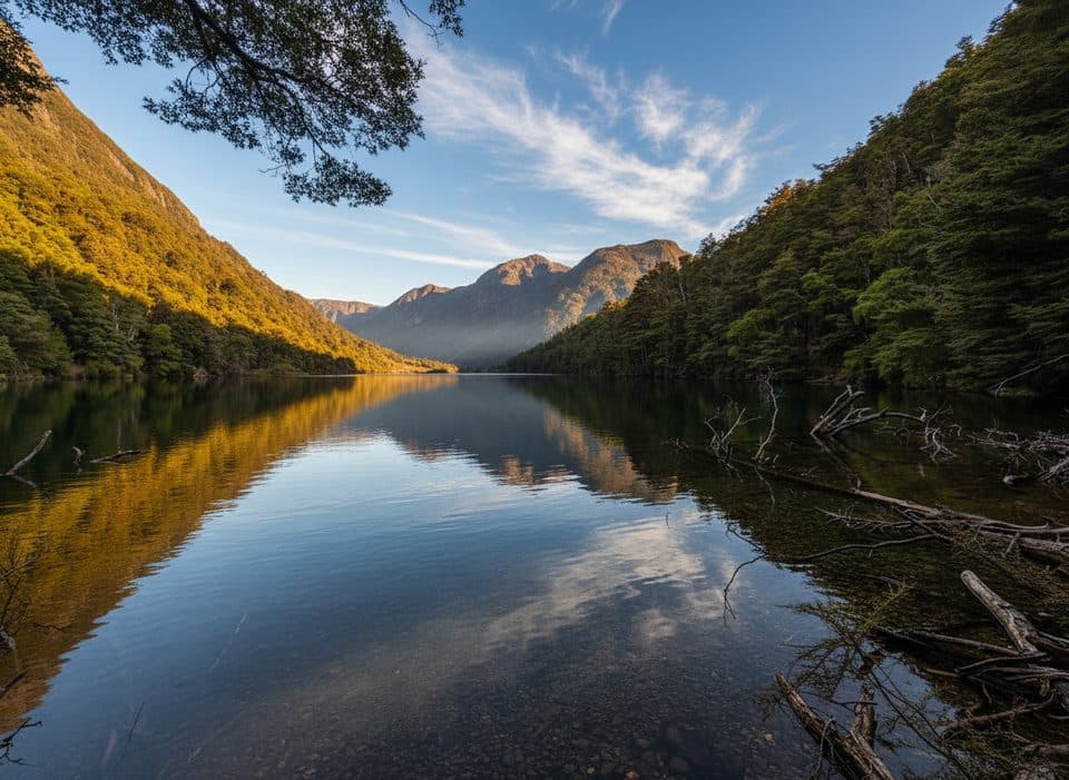 ModerateLake Rere Loop Track14.3 km · 5.5 hr · At the trailheadVaried loop to a quiet lake via farms, beech and river gorges
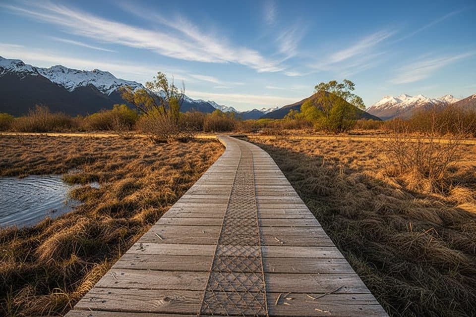 EasyGlenorchy Walkway5.5 km · 1.5 hr · 9.8 km awayFlat wetland loop with boardwalks, birdlife, and mirror-like mountain reflections.
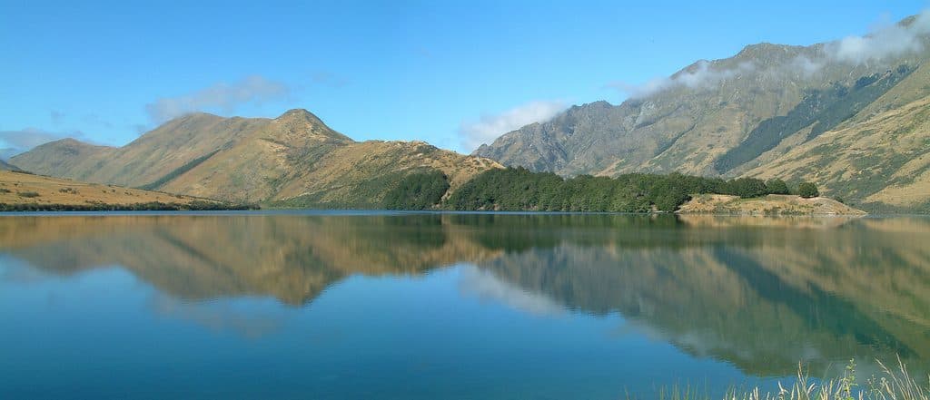 EasyMoke Lake Loop6.3 km · 2.5 hr · 19.4 km awayUndulating loop around an alpine lake near Queenstown
 EasyBob's Cove Track3.9 km · 1 hr · 19.9 km awayEasy 3.9 km out-and-back from the Glenorchy–Queenstown Road to Bob's Cove and Picnic Point
 EasyMount Crichton Loop Track7.2 km · 2.5 hr · 21.1 km awayA well-formed loop through beech forest with a waterfall, gold-mining history, and Lake Dispute views near Queenstown
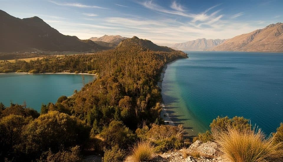 EasyBob’s Cove to Twelve Mile Delta Track6 km · 1.8 hr · 21.5 km awayA 6 km lakeside link from Twelve Mile Delta to Bob’s Cove.
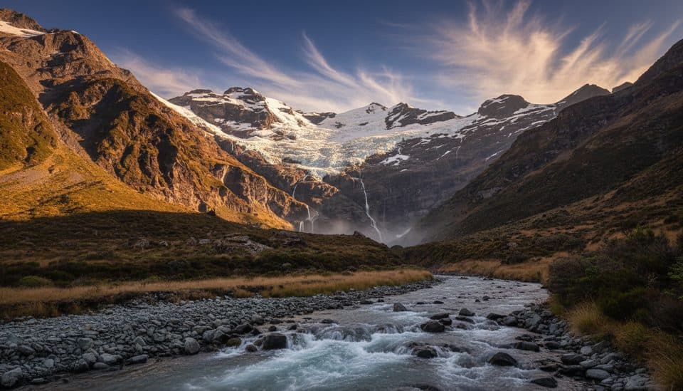 ChallengingEarnslaw Burn Track16.6 km · 10.5 hr · 22.1 km awayA rough, technical tramp to an icefall viewpoint in a glacier-carved valley
 Sight · 9.6 km awayGlenorchy WharfClassic wharf and red shed framed by big mountains
 Sight · 9.6 km awayGlenorchy Red ShedIconic lakeside shed with big-mountain backdrops and simple history displays
 Lodging · 9.8 km awayThe Headwaters Eco LodgeEco-luxe base with standout garden-to-table dining in Glenorchy
 Campground · 9.8 km awayMrs Woolly’s CampgroundCentral Glenorchy campground with powered sites and a great kitchen
 Sight · 10 km awayGlenorchyGateway hamlet to big-mountain hikes and wild fiordland scenery
 Sight · 10.7 km awayGlenorchy LagoonFlat boardwalk with mirror views and easy birdwatching
 Sight · 12.9 km awayBennett’s Bluff LookoutClassic Glenorchy road stop for huge lake-and-peak views
Parkwolf’s Queenstown-Lakes District ranking

The audio tour guide for the drive, plus offline maps, trails, and wildlife heatmaps for when the signal drops.