Parking
Start at the Invincible Mine Track road end on Rees Valley Road, about 30 minutes from Glenorchy. The approach is gravel with fords. No named formal car park is identified.
Queenstown-Lakes District, New Zealand, OT
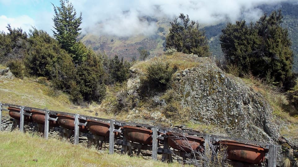
Mine machinery and a Rees Valley view reward the steady climb.
Photo: Anna Morley / Source: Department of Conservation (NZ), CC BY 4.0
Overview
Map & elevation
Plan your hike

The highest, rockiest slopes around here are a summer buffet for grizzly bears.
Queenstown-Lakes District Tour Guide
Parkwolf is a GPS audio tour guide for Queenstown-Lakes District, New Zealand. As you drive, it chimes in with what’s ahead: hidden gems, upcoming stops, history, geology, and wildlife, right through your car’s speakers.
See the Queenstown-Lakes District audio tourRecorded for this trailhead
Invincible Mine Track“You're nearing the Invincible Mine trailhead, for a steep three-hour return walk above Rees Valley.”
Plays as you drive up to this trailhead in the Parkwolf Queenstown-Lakes District Tour Guide.
More stories near here in the app
“Fantastic app with many points of information… It’s great to just turn on while you’re driving and it gives you an audio tour of the national Park. We love it!!!!”


Trail guide
This is a 4.5 km (2.8 mi) return out-and-back from Rees Valley Road, usually about 3 hours. It climbs steadily through beech forest and mānuka to an exposed high point above the bushline, passing old mine machinery on the way and opening across the Rees Valley toward Mt Earnslaw / Pikirakatahi. The listed grade is Easy, though the sustained climb takes more effort than the distance suggests.
The route starts in beech forest, climbs through mānuka, then opens onto exposed ground above the bushline. The highest point is the turnaround; return on the same line. Weather can change quickly at any time of year. At the open high point, frame the foreground ridge with the Rees Valley and Pikirakatahi behind it to show how the view opens after the climb.
Miners built this track in the 1880s and hauled machinery up it with horses. The site holds the remains of a water wheel and seven berdans: large cast-iron bowls that turned slowly to grind ore. Look closely, but do not climb on the machinery or pass the mesh barrier; a deep shaft lies behind it.
The start is on Rees Valley Road, about 30 minutes from Glenorchy over gravel road with fords. The track crosses private land: stay on the track, keep clear of livestock and leave gates as you find them. Dogs are not allowed, and camping is prohibited in the historic reserve.
Wildlife
 194 sightingsKeaMost seen around 5 PMSighting map
 18 sightingsKākāMost seen around 6 PMSighting map
 198 sightingsKererūMost seen around 10 AMSighting map
 53 sightingsWekaMost seen around 6 PMSighting map
 245 sightingsTūīMost seen around 8 AMSighting map
 98 sightingsBellbirdMost seen around 6 AMSighting map
Sighting maps show where each species has been reported across Queenstown-Lakes District. Wildlife moves, so no sighting is guaranteed.
Keep exploring
 ChallengingEarnslaw Burn Track16.6 km · 10 hr · 3.8 km awayA hard 10.3-mile return to an icefall beneath Pikirakatahi.
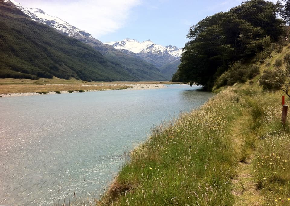 ChallengingRees-Dart Track63 km · 1 day · 4 km awayCross an alpine saddle between the Rees and Dart valleys
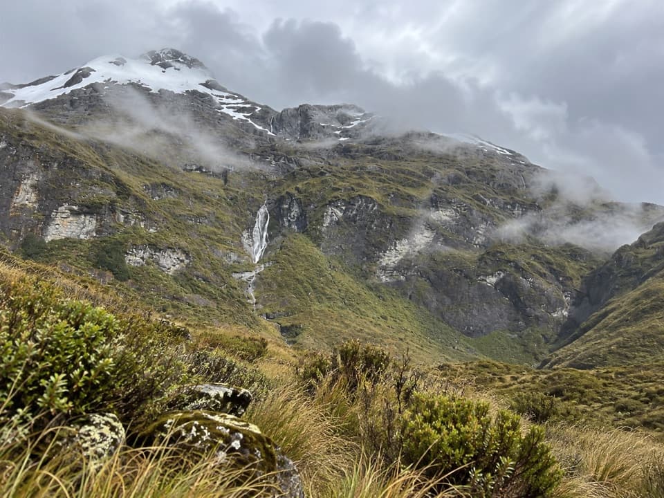 ChallengingKea Basin Track24.5 km · 9 hr · 4 km awayBig Rees Valley views after a long climb to tussock country.
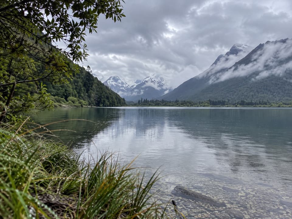 EasyDiamond Creek Walk6.9 km · 1.5 hr · 8.2 km awayA boggy creek walk ends with birdlife and broad valley views.
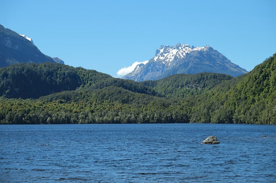 EasyLake Sylvan Track6.5 km · 1.7 hr · 11.3 km awayA red-beech lake walk with a return along a 1920s tramline.
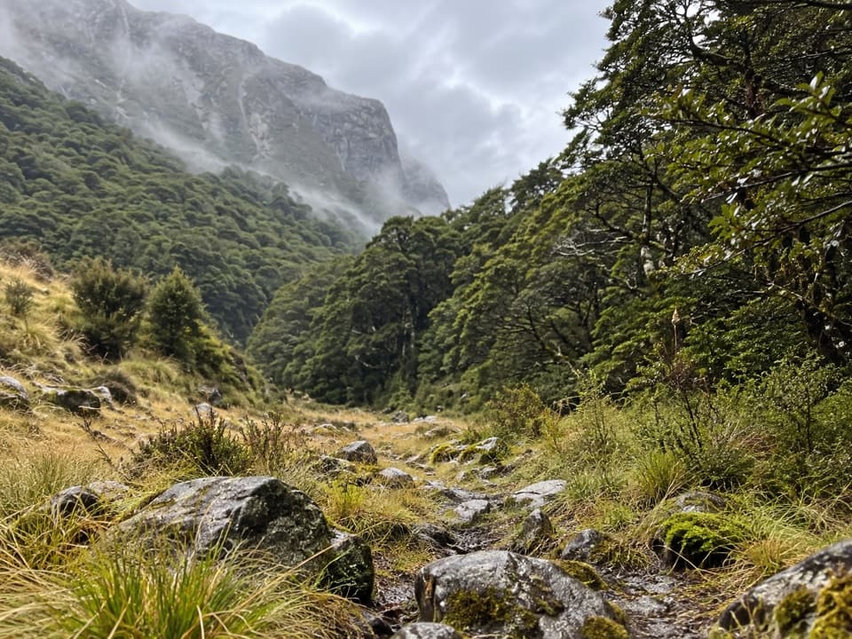 ChallengingScott Creek Track7.3 km · 6 hr · 11.7 km awayA steep, rough climb toward remote Scott Basin.
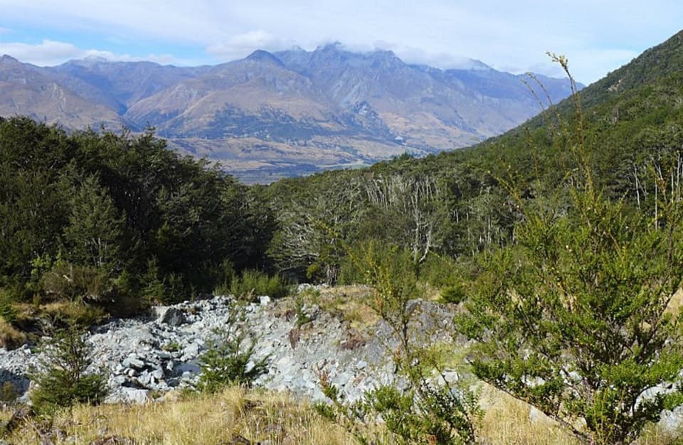 ModerateGlacier Burn Track7.3 km · 4 hr · 13.1 km awayA steep forest climb to Glacier Basin and Humboldt views.
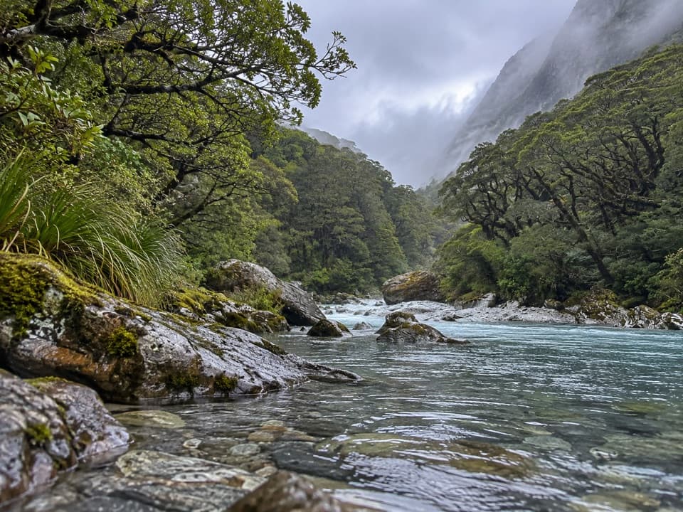 ModerateBeans Burn Track13.2 km · 3.8 hr · 13.4 km awayA jetboat drops you beside a faint track into a remote valley.
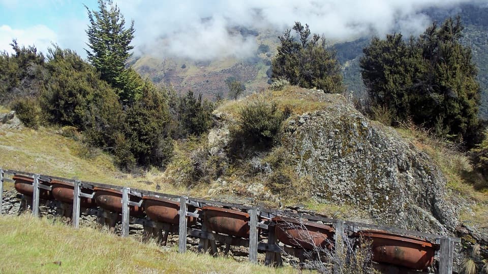 Sight · 1.1 km awayInvincible MineSeven old ore-grinding bowls reward the climb above Rees Valley.
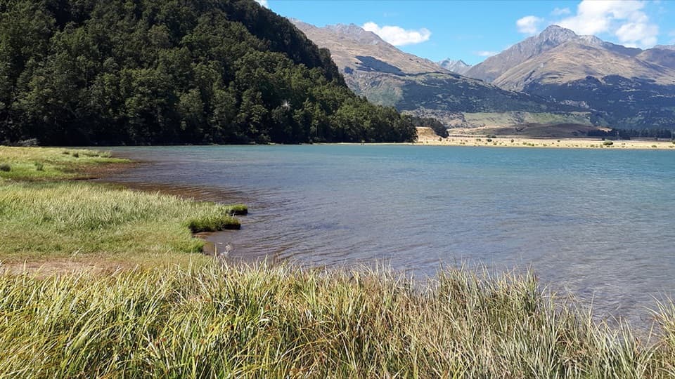 Campground · 5.9 km awayDiamond Lake CampsiteSwim, fish, or kayak beside your overnight stop.
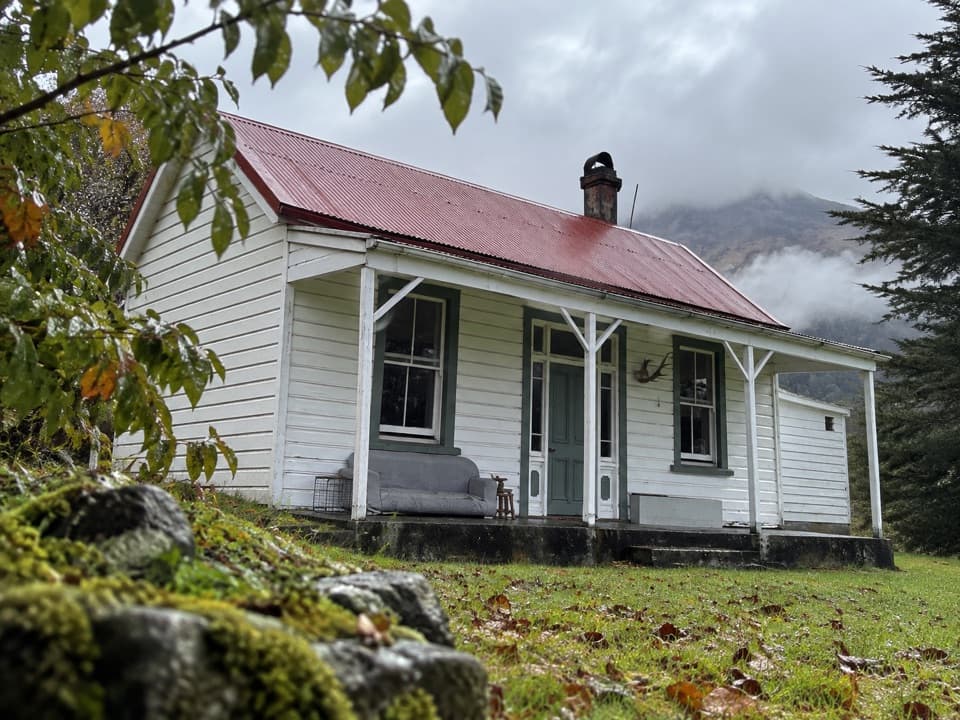 Lodging · 7.4 km awayParadise TrustBook a remote historic stay at the head of Lake Wakatipu.
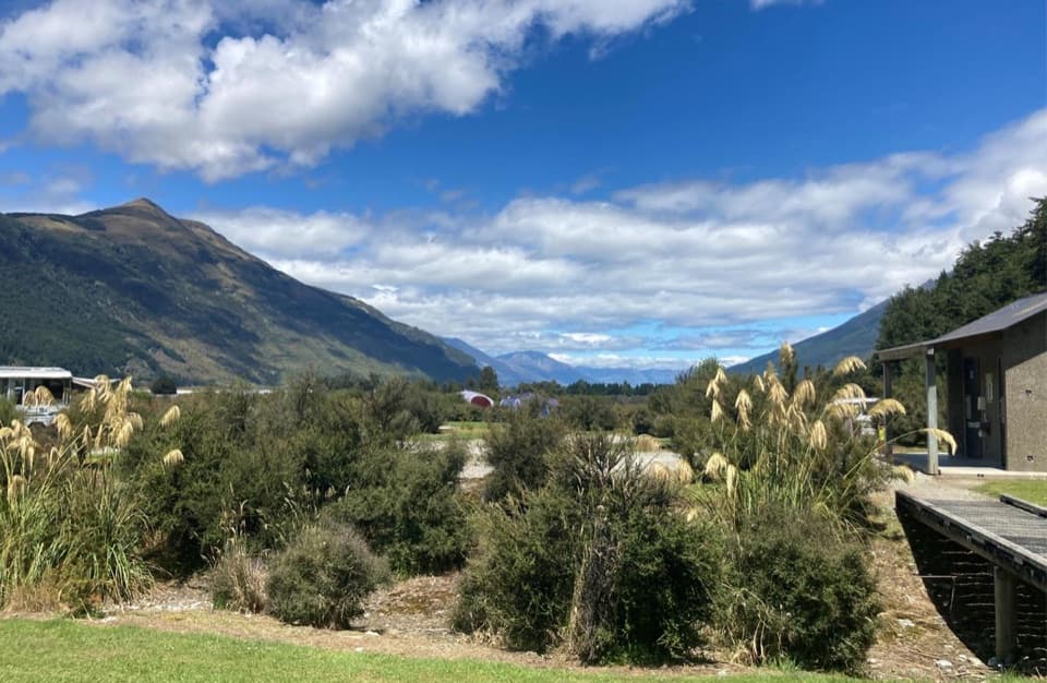 Campground · 11.6 km awaySylvan CampsiteRiverside camping with Lake Sylvan and Routeburn walks nearby.
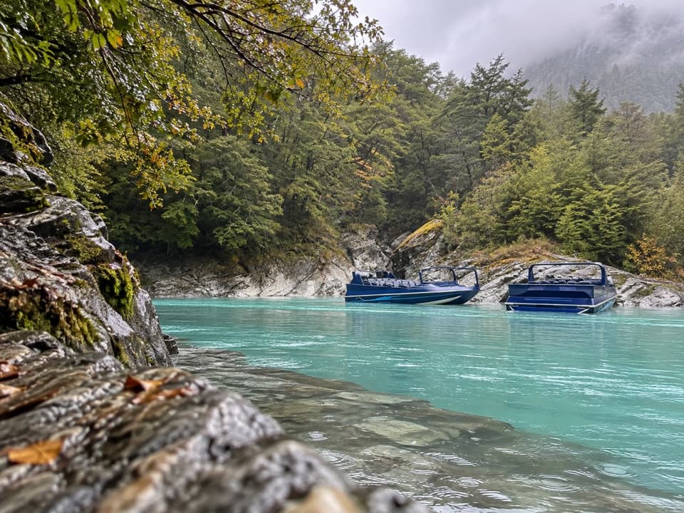 Sight · 14.4 km awayDart River AdventuresJet-boat to the Dart’s braided channels, then paddle downstream.
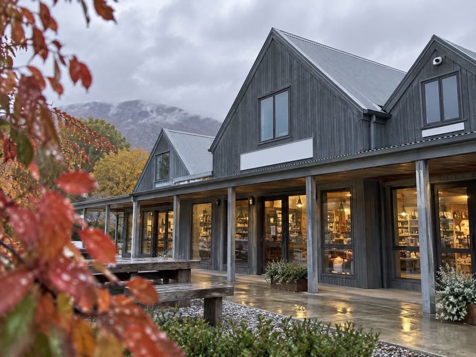 Store · 14.4 km awayMrs Woolly’s General StoreHomemade pies and local gifts make this a handy Glenorchy stop.
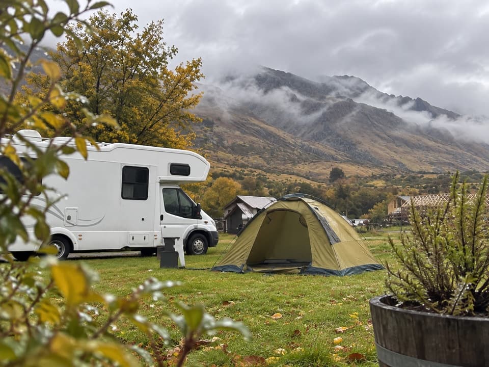 Campground · 14.4 km awayMrs Woolly’s CampgroundMountain-backed camping close to Glenorchy’s lakefront and lagoon.
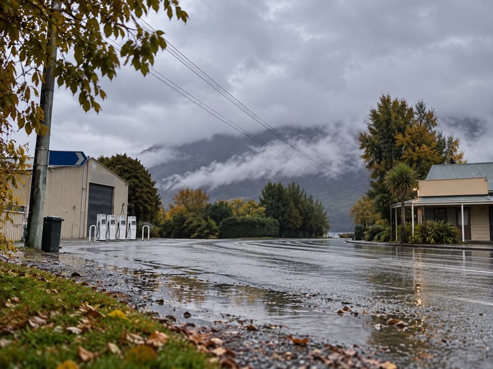 Gas station · 14.5 km awayGlenorchy Motors PetrolA practical refuel before exploring the remote valleys beyond town.
Parkwolf’s Queenstown-Lakes District ranking

The audio tour guide for the drive, plus offline maps, trails, and wildlife heatmaps for when the signal drops.





